Margate in Maps and Pictures
compiled by Anthony Lee
|
Margate in Maps and Pictures compiled by Anthony Lee |
|
|
Pictures added April-June 2012 Click on pictures for a larger image |
|
June 26 2012 |
|||
Postcards added to the 1907 Ordnance Survey Map of Margate. |
|||
 |
 |
 |
 |
|
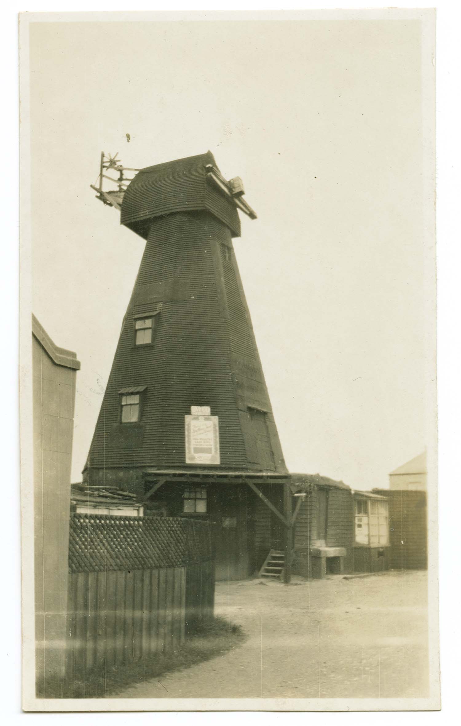
Drapers Mill 1928 [photo] |
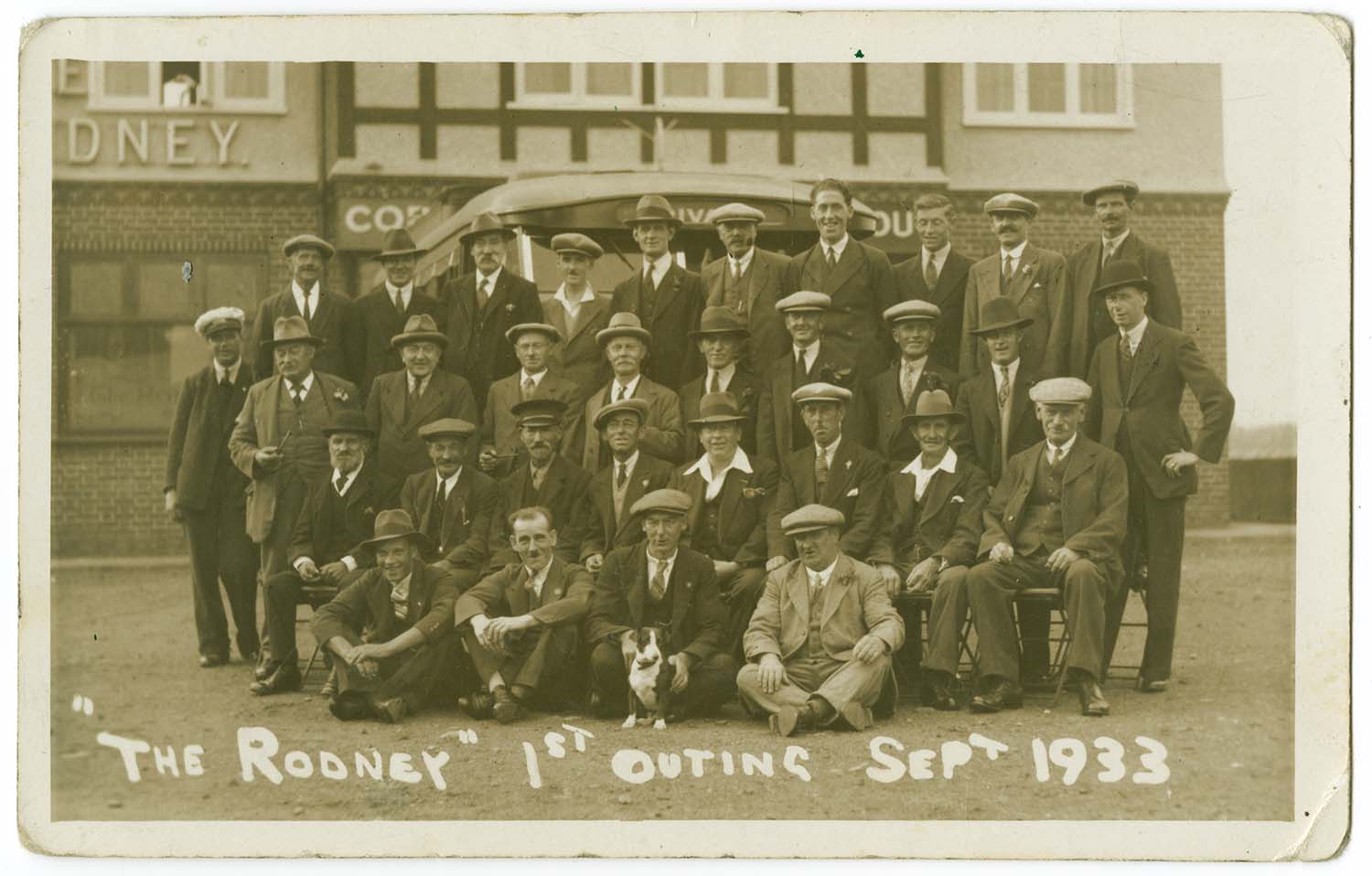
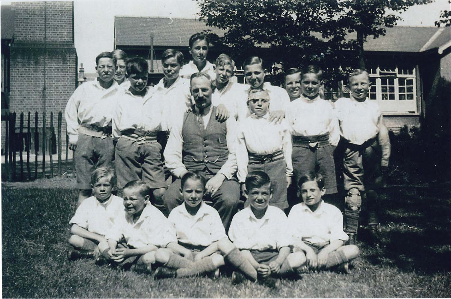
Garlinge Rodney outing 1933 |
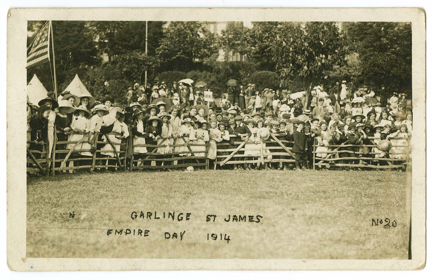
St James Empire Day 1914 |
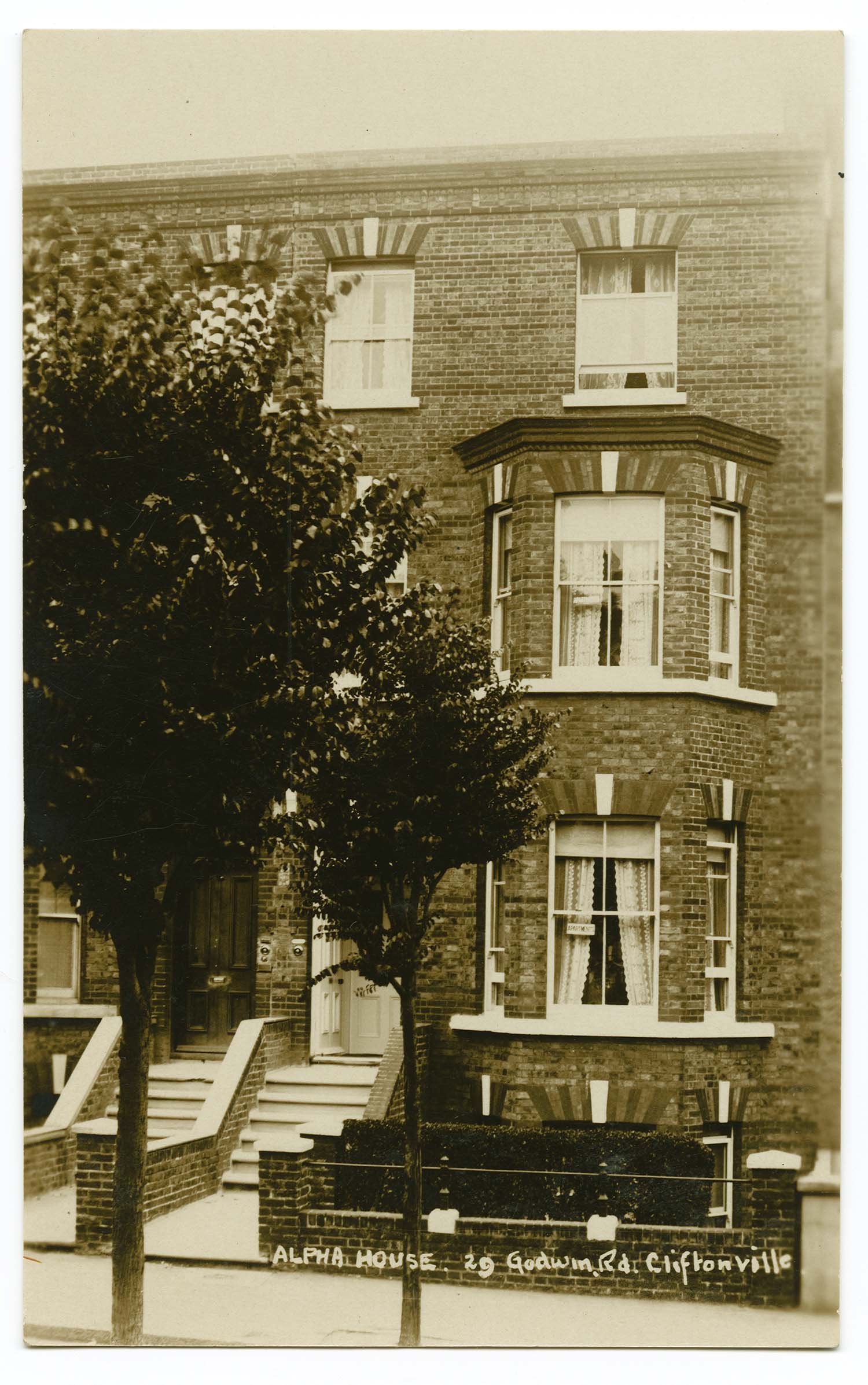
Godwin Road 29 Alpha House |
 |
 |
 |
 |
|
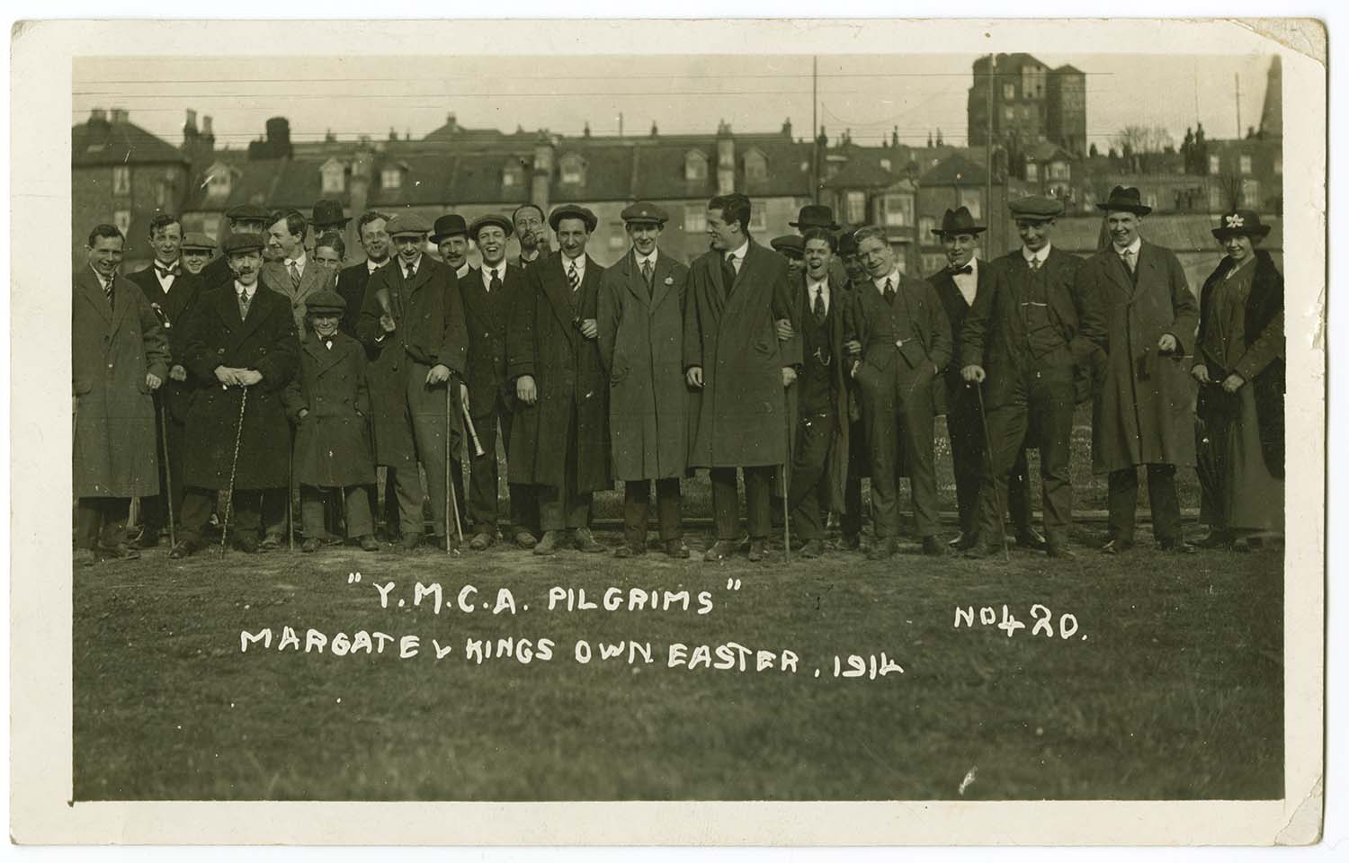
Hall by the Sea Football ground 1914 |
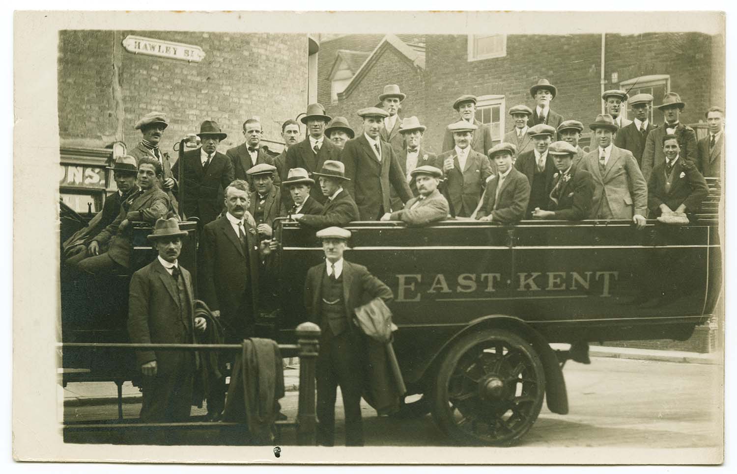
Hawley Street coach party |
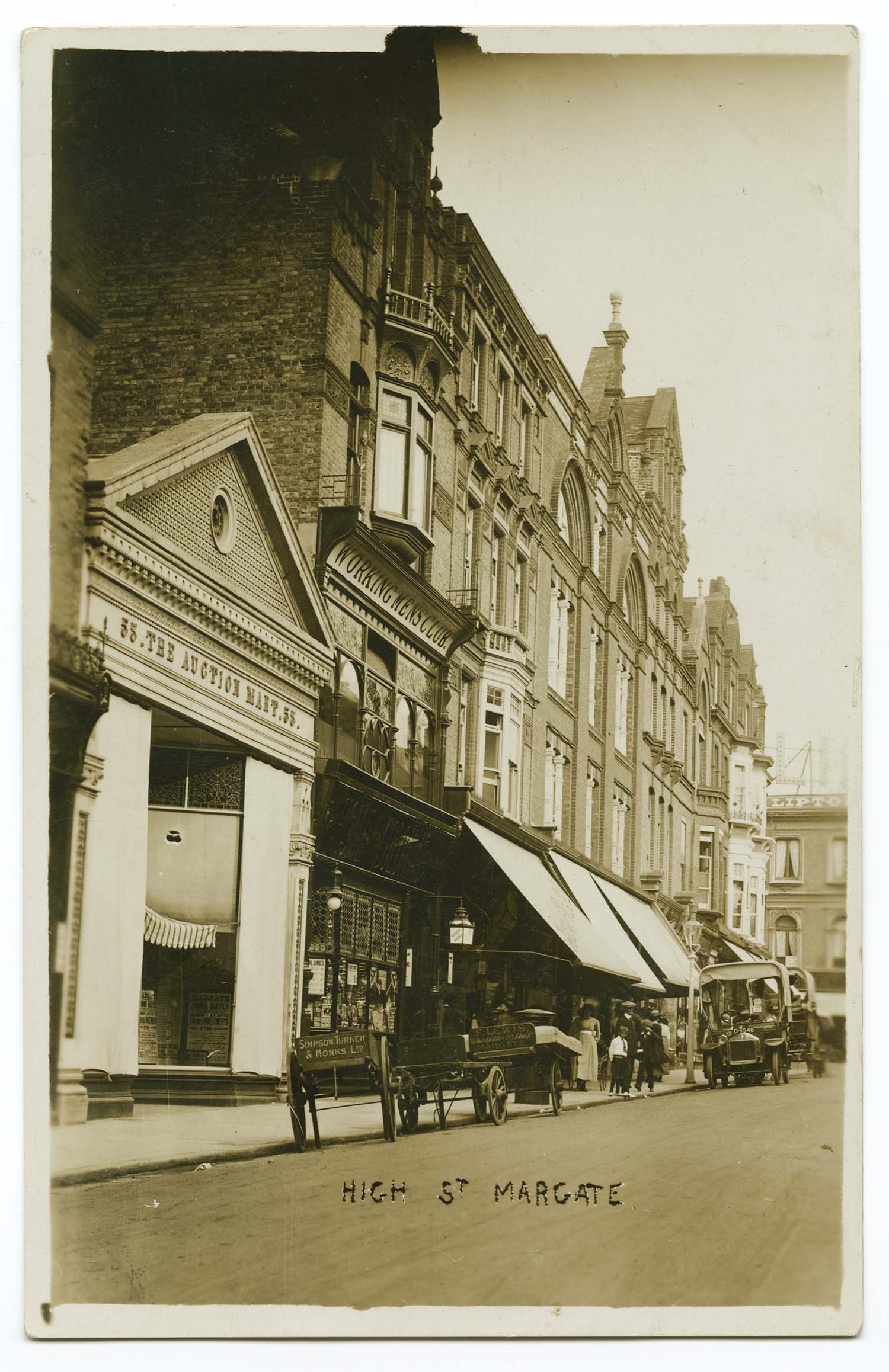
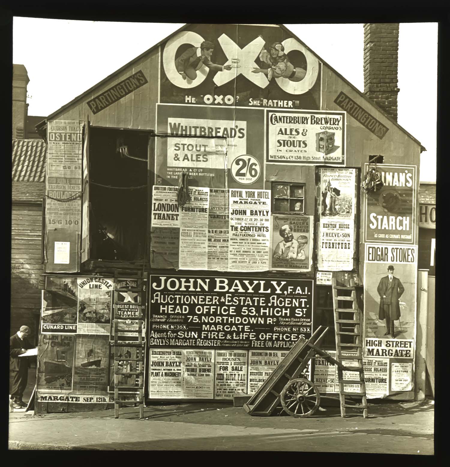
High Street Auction Mart No 53 |
High Street John Bayley Auction House No 53 |
 |
 |
 |
 |
|
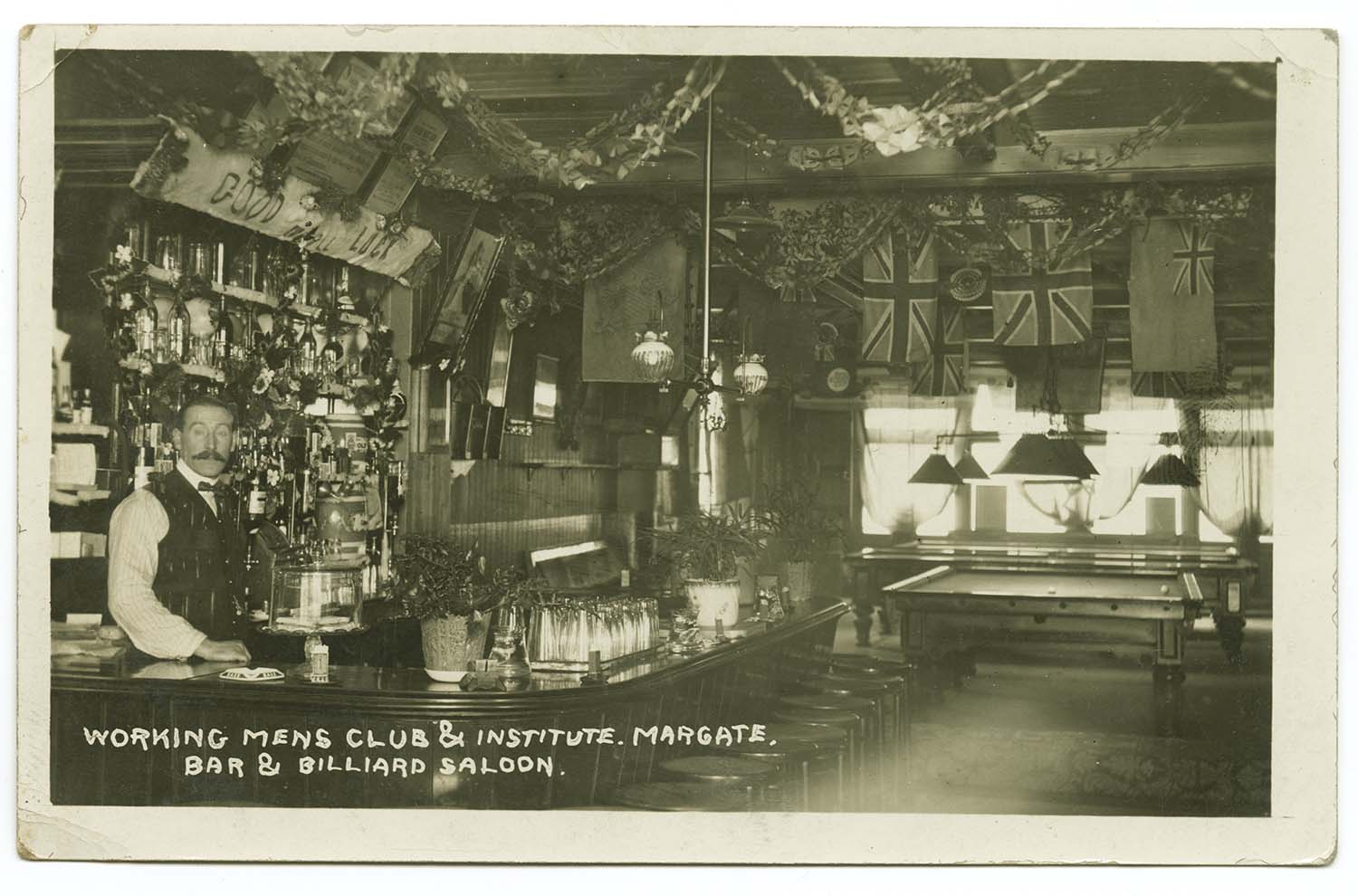
Working Mens Club No 55a High Street |
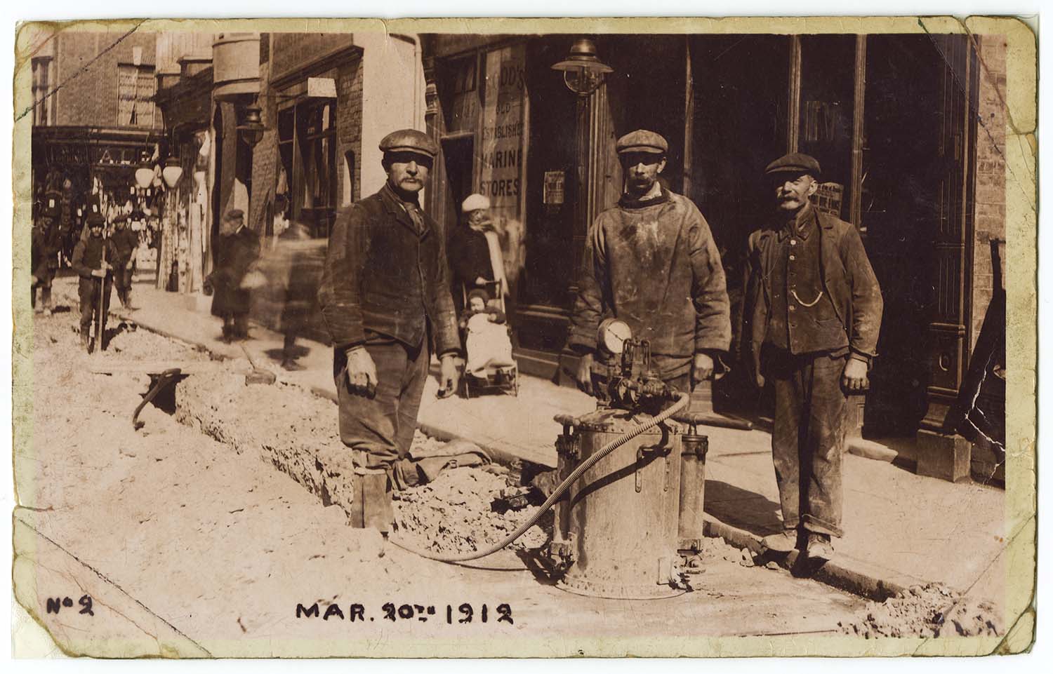
Men working in High street 1912 |
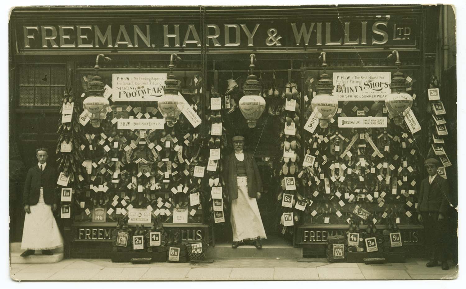
High Street/Freeman Hardy and Willis 1904 |
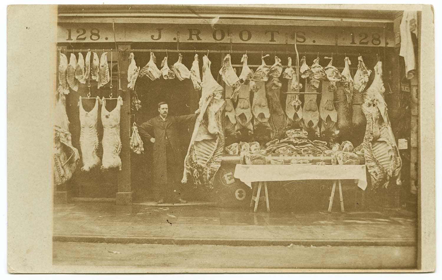
High Street/No 128 Roots 1906 |
 |
 |
![High street and St Johns [Twyman] | Margate History](../Pictures/Postcards/High Street/High street and St Johns photo high view.jpg) |
 |
|
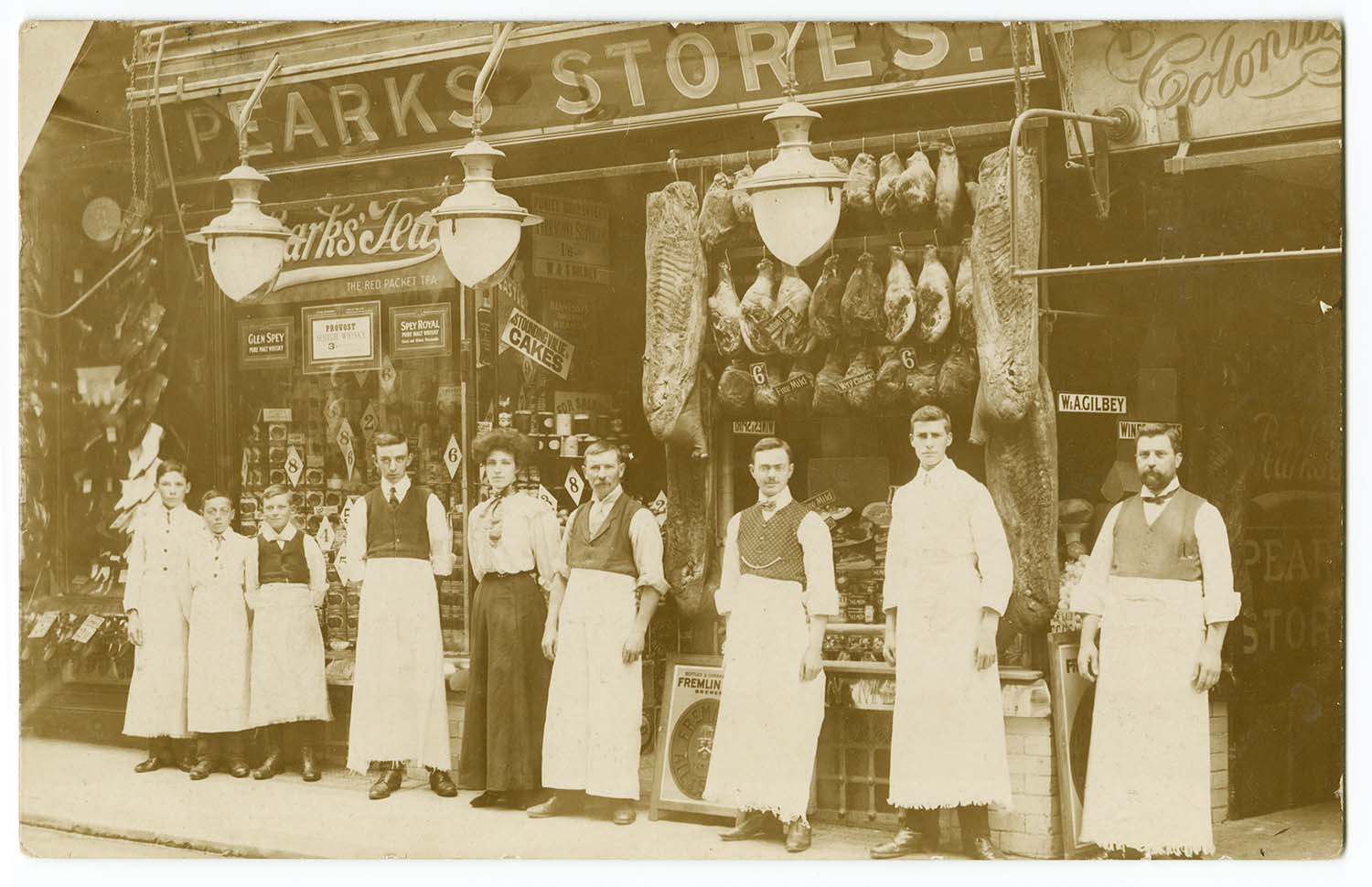
High Street/Pearks Stores 1906 |
High street and St Johns |
High street and St Johns [Twyman] |
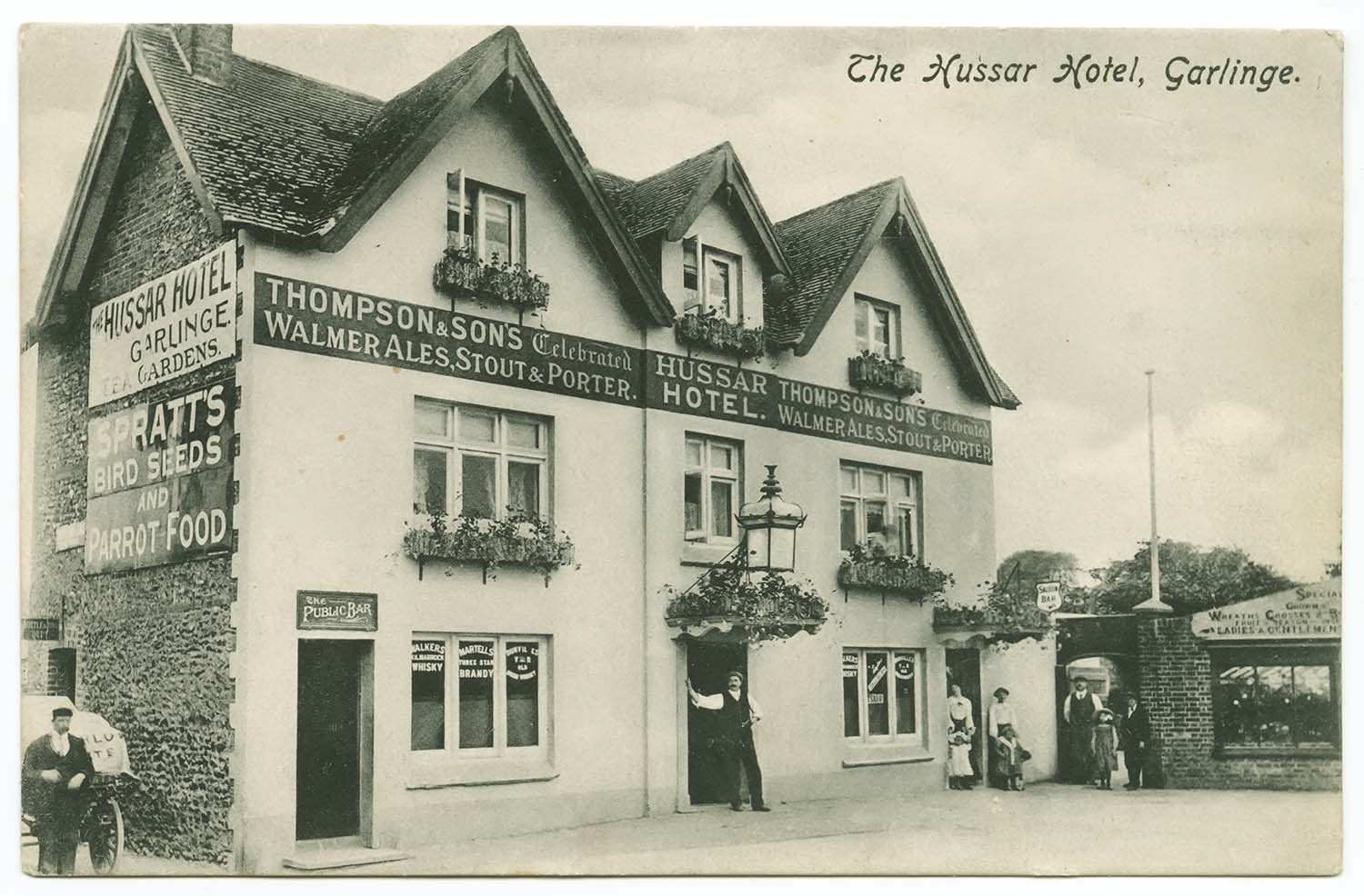
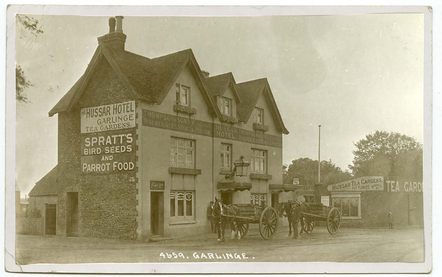
Hussar Hotel Garlinge |
|
June 24 2012 |
|||
Postcards added to the 1907 Ordnance Survey Map of Margate. |
|||
 |
 |
 |
 |
|
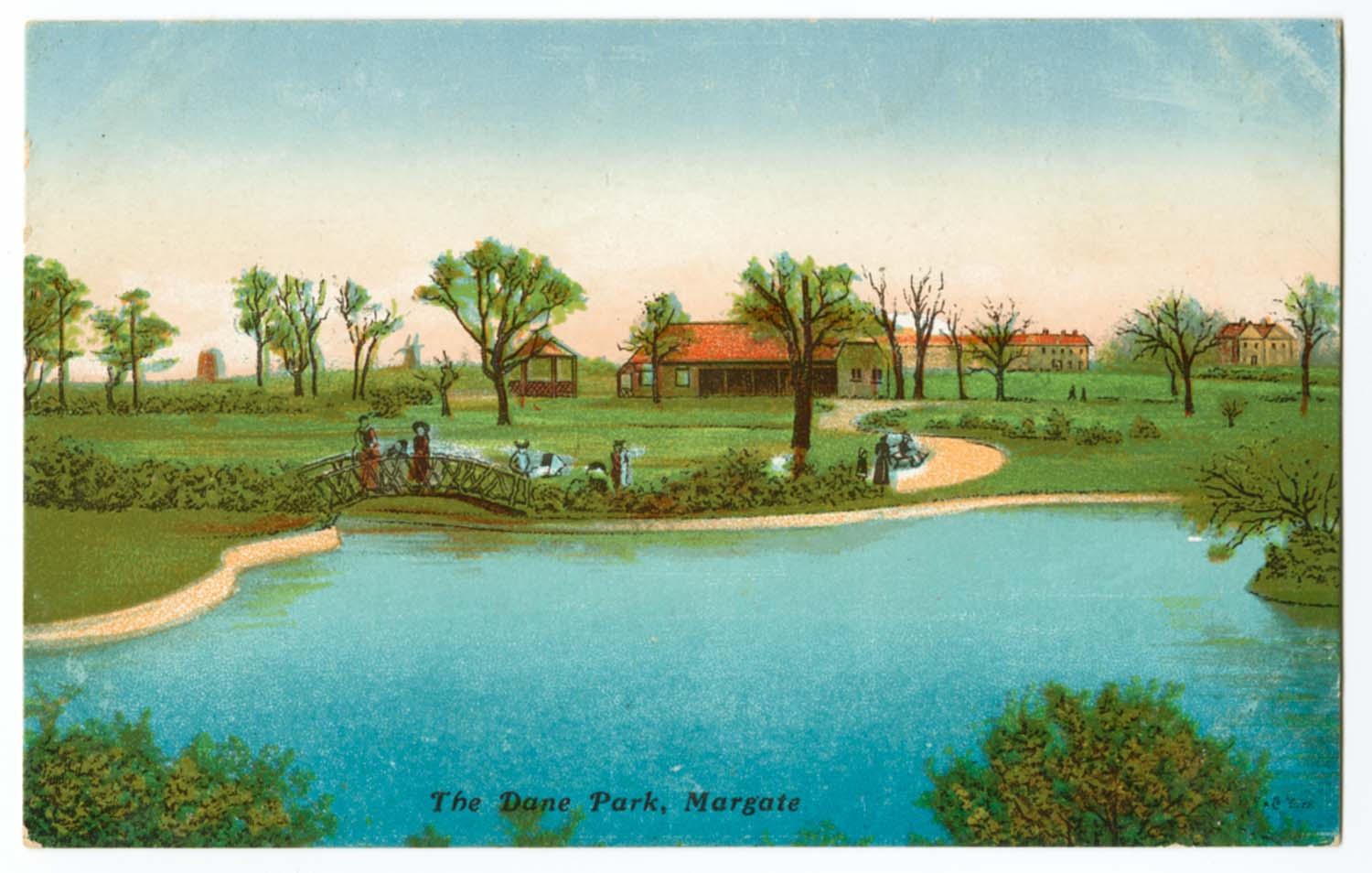
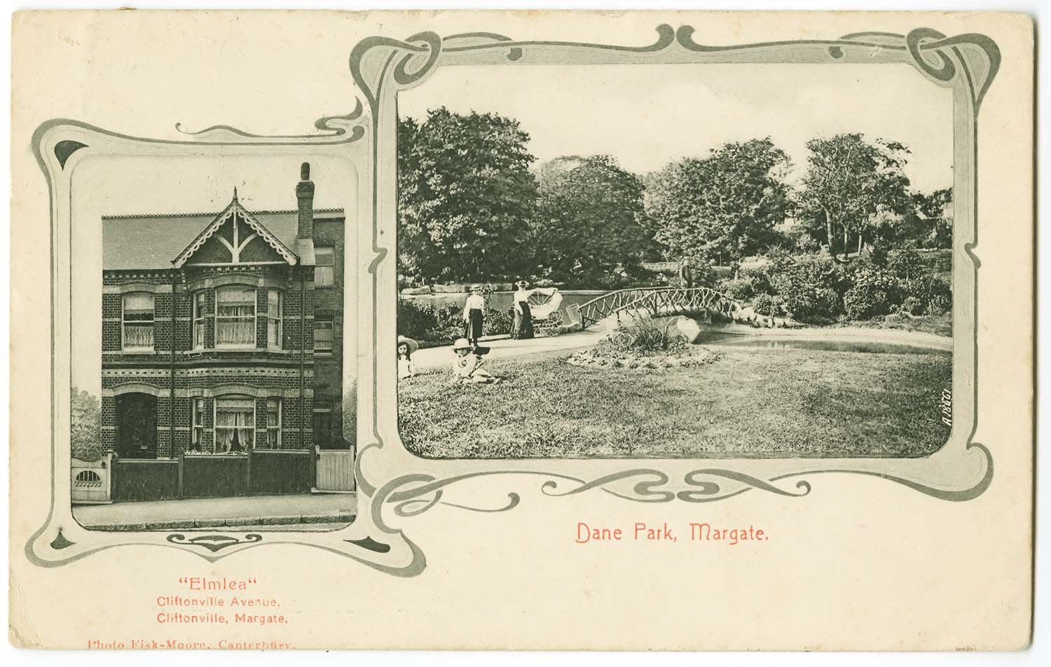
Dane Park Lake and Pavilion |
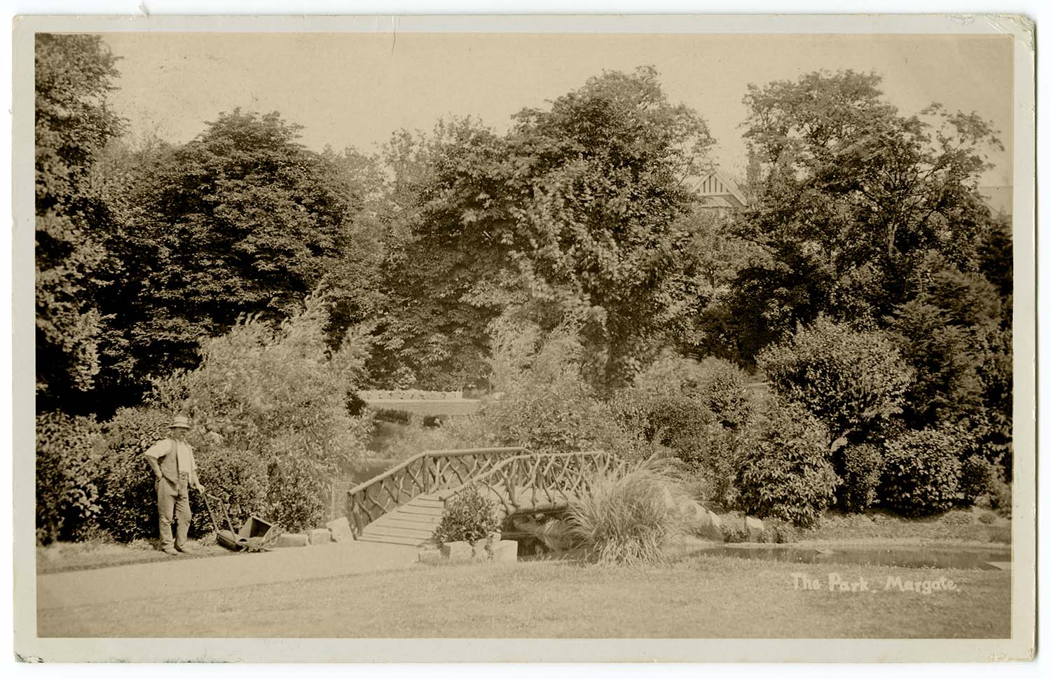
Dane Park bridge and gardener 1906 |
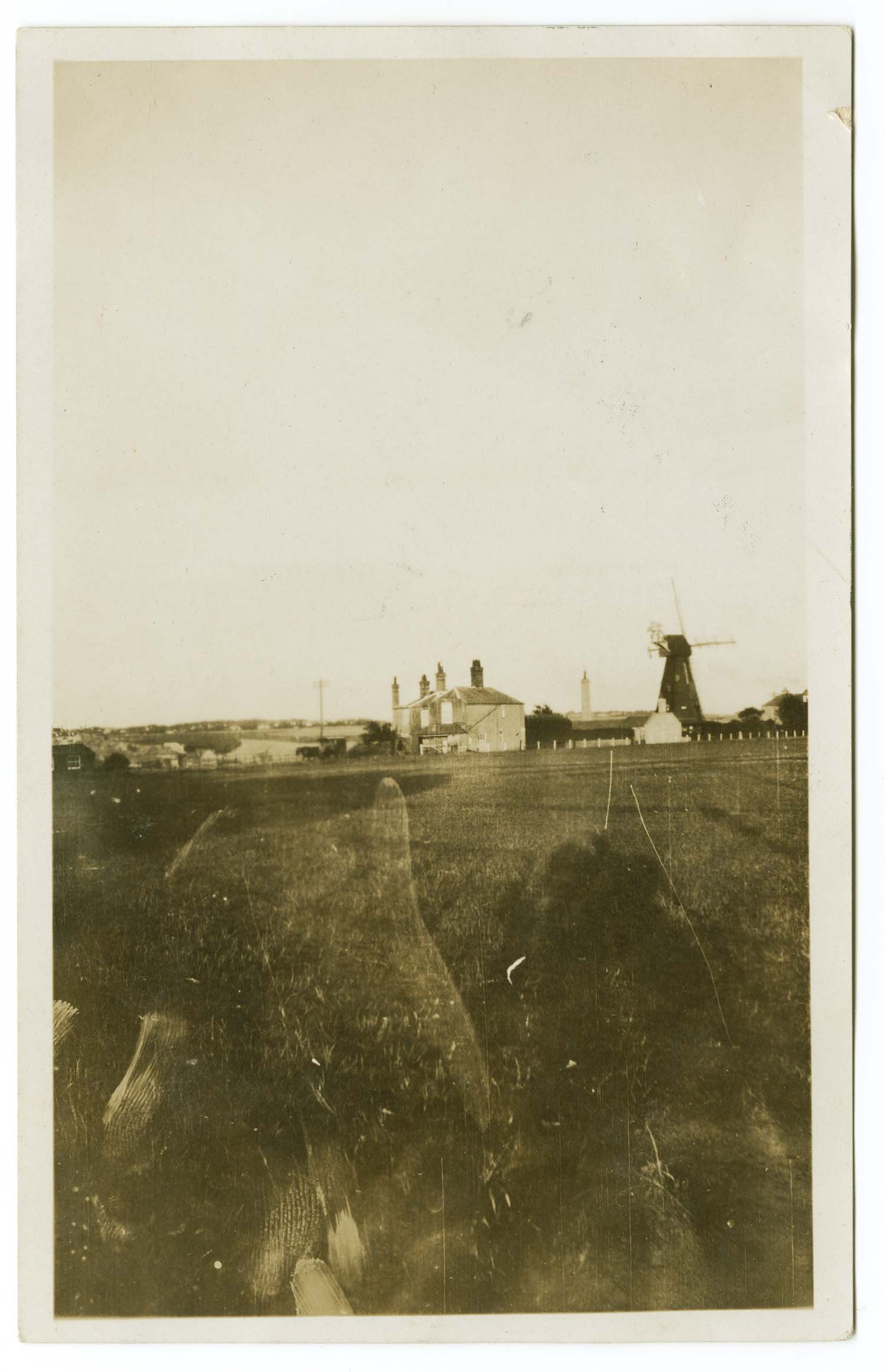
Drapers Mill ca 1930 |
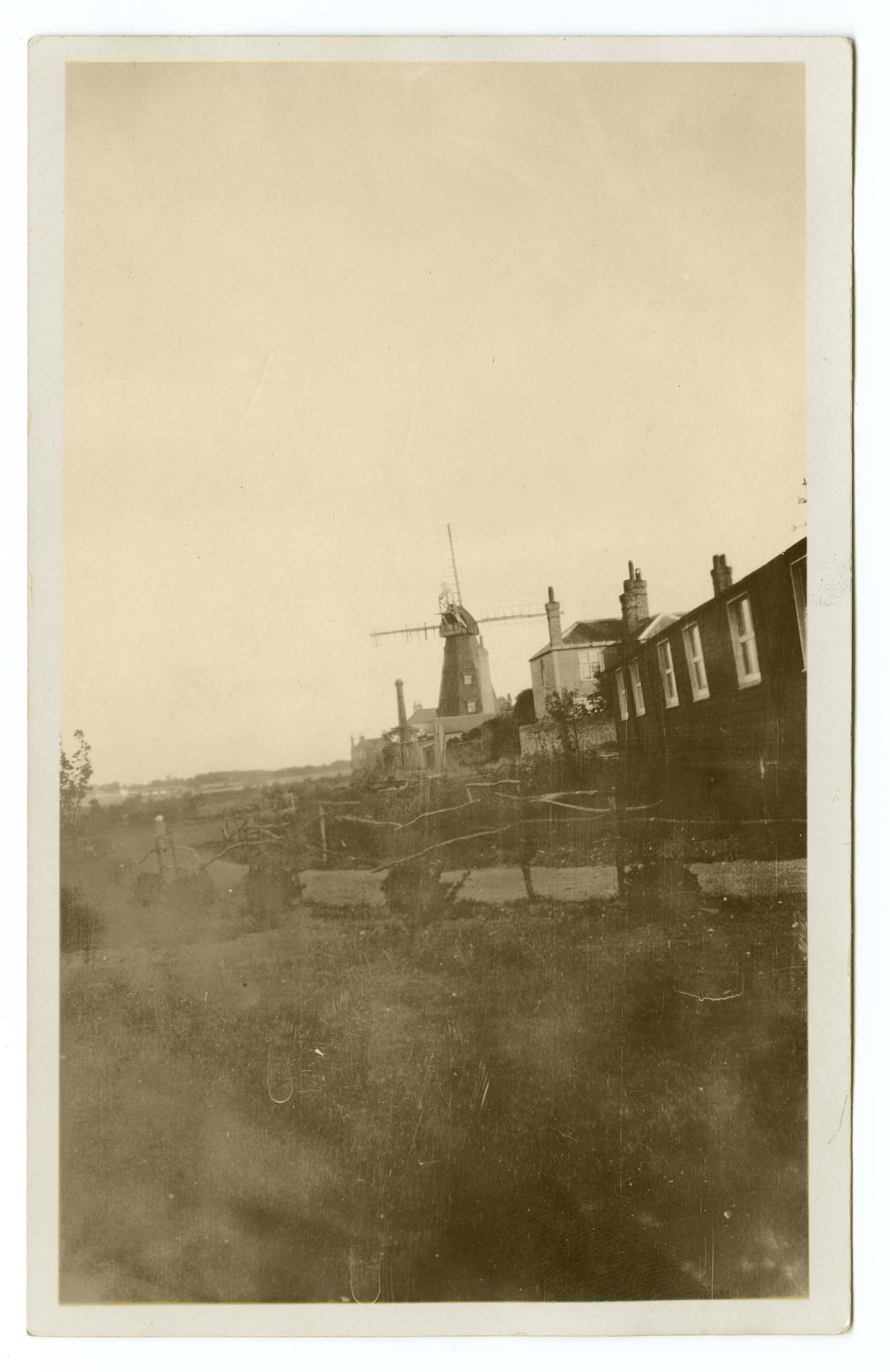
Drapers Mill from College Road 1930 |
![Drapers Mills EF Pantony Coal and Coke Merchant [Twyman] | Margate History](../Pictures/Postcards/Drapers Mills/Drapers Mills EF Pantony Coal and Coke Merchant.jpg) |
 |
 |
 |
|
Drapers Mills EF Pantony Coal and Coke Merchant [Twyman] |
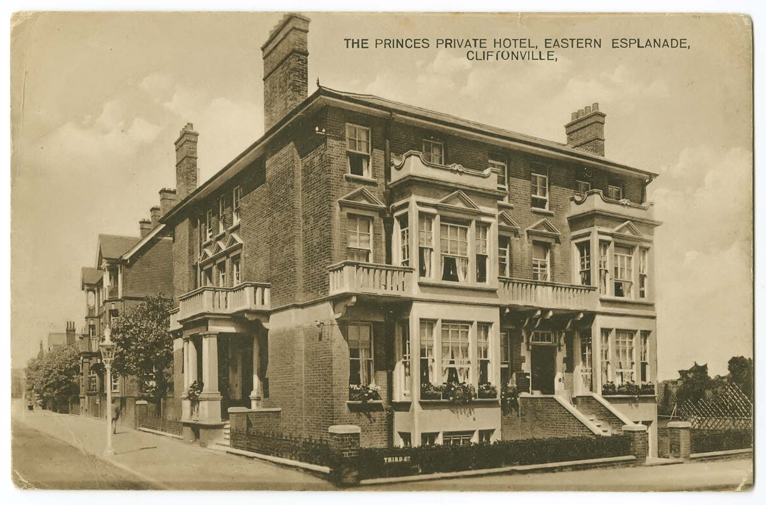
Eastern Esplanade/Princes Hotel 1934 |
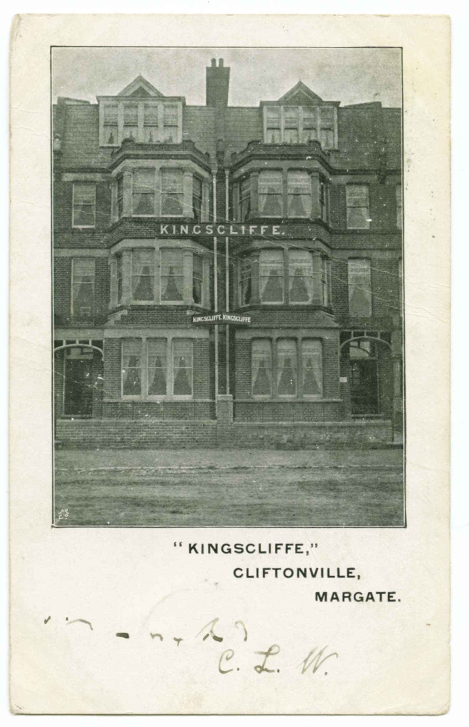
Eastern Esplanade/Kingscliffe Hotel |
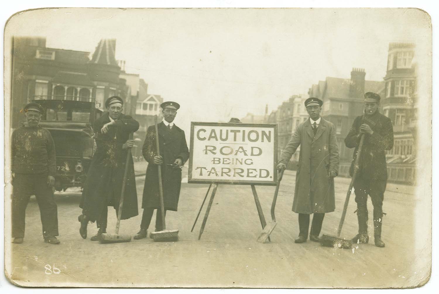
Eastern Esplanade road works |
 |
 |
 |
 |
|
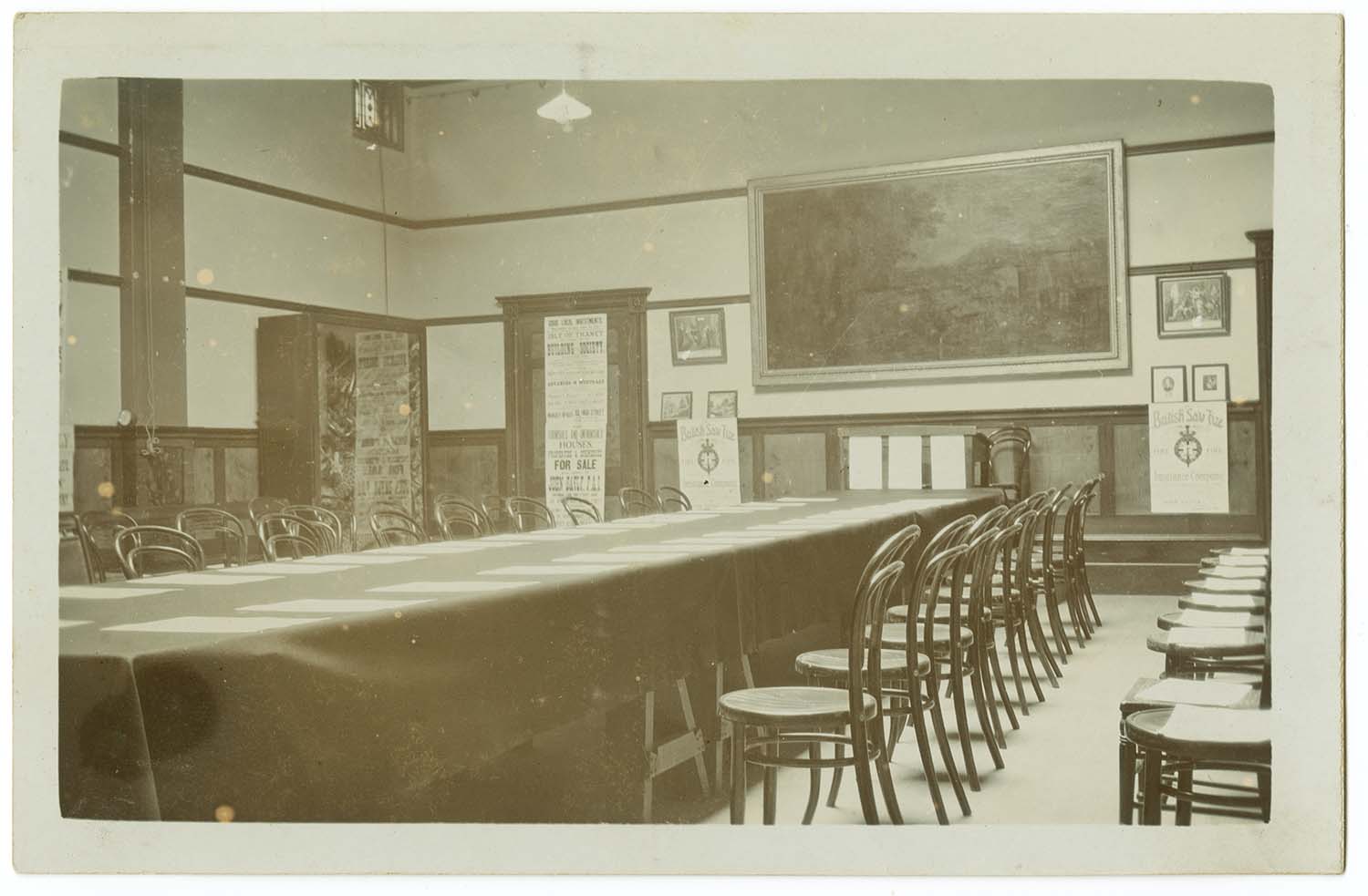
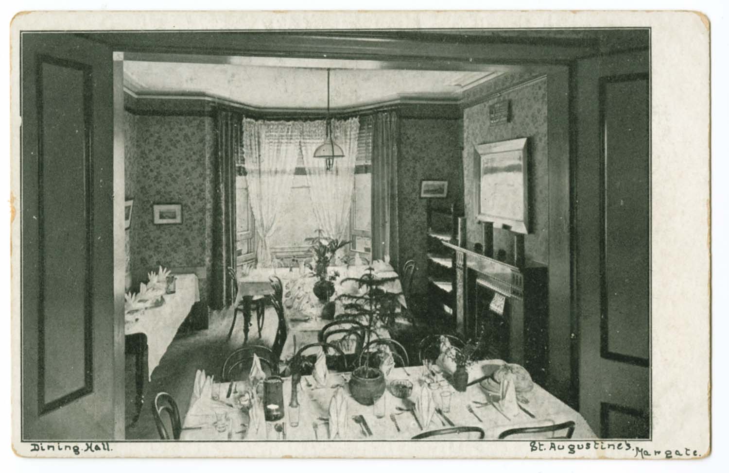
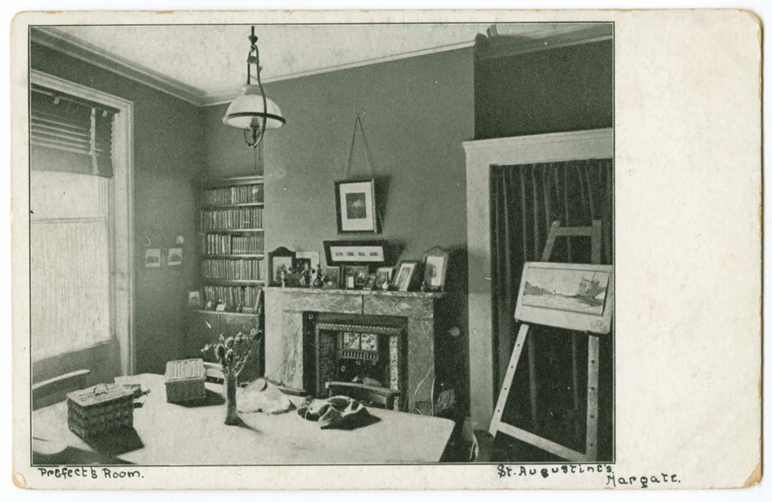
Edgar Road/St Augustines Girl School Dining Hall |
Edgar Road/St Augustines Girl School Prefects Room |
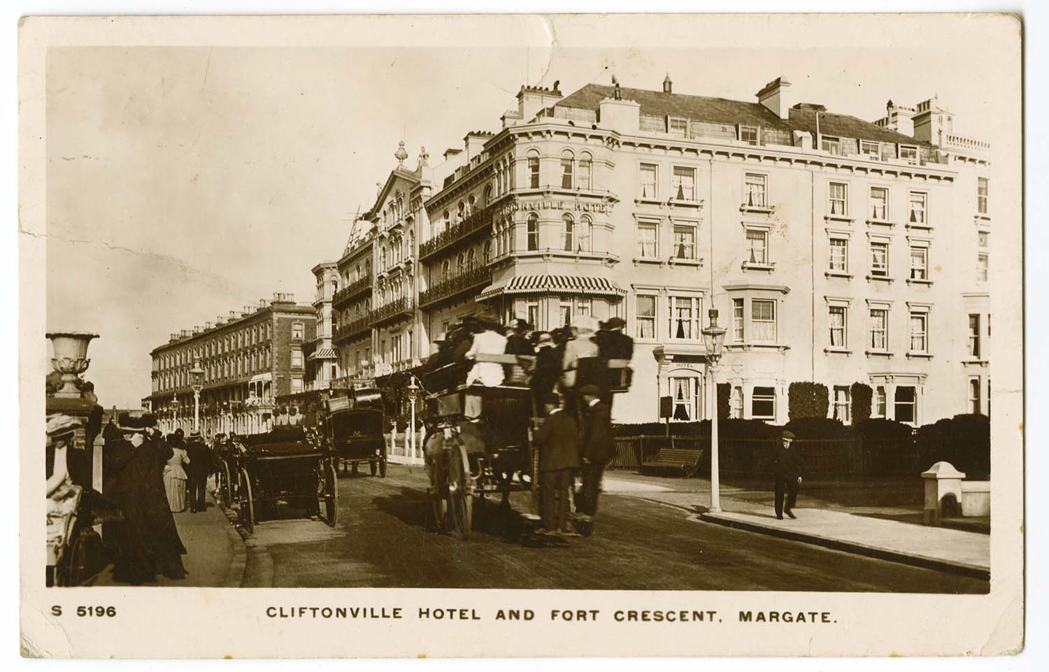
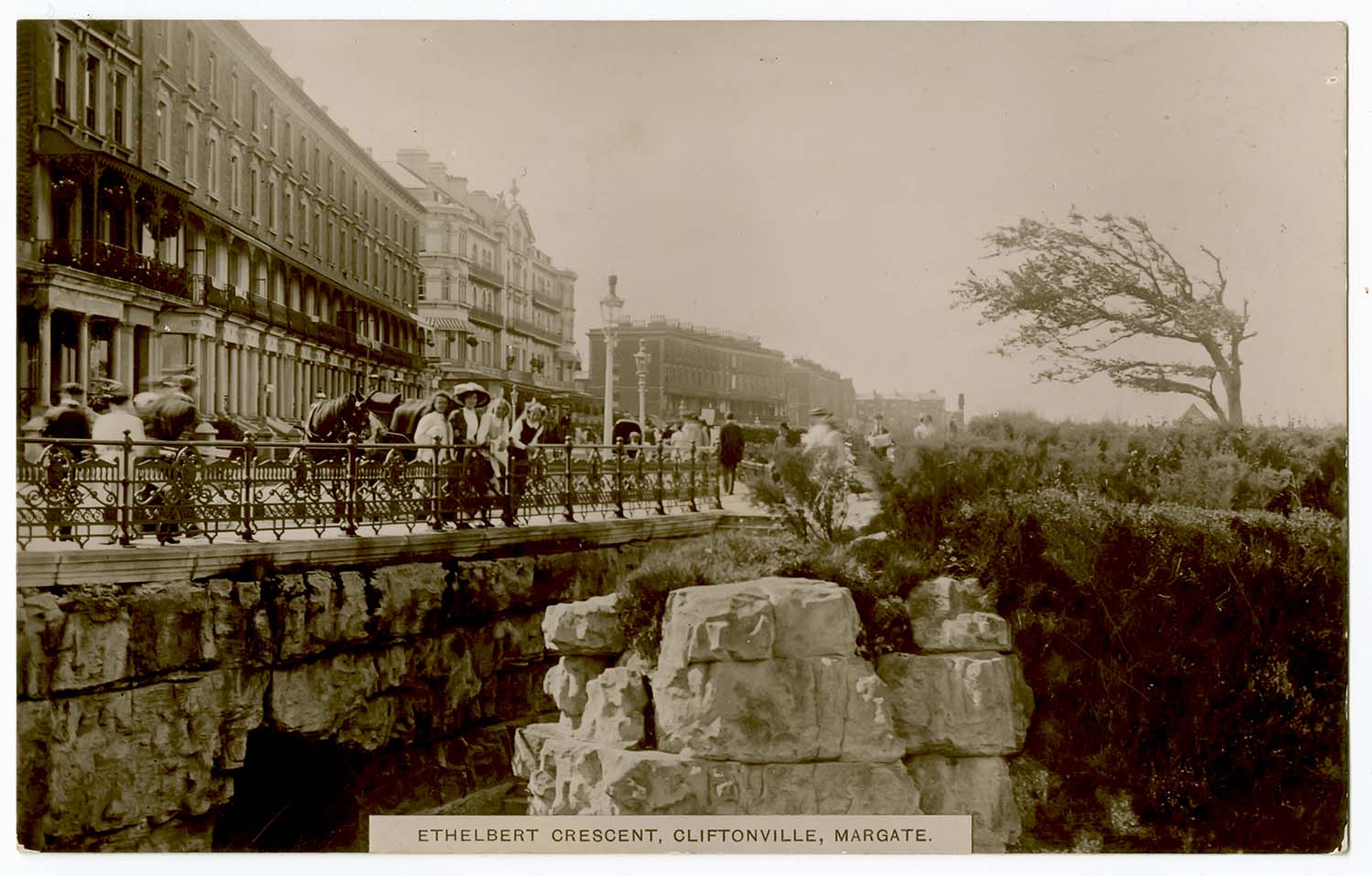
Ethelbert Crescent and Cliftonville Hotel 1918 |
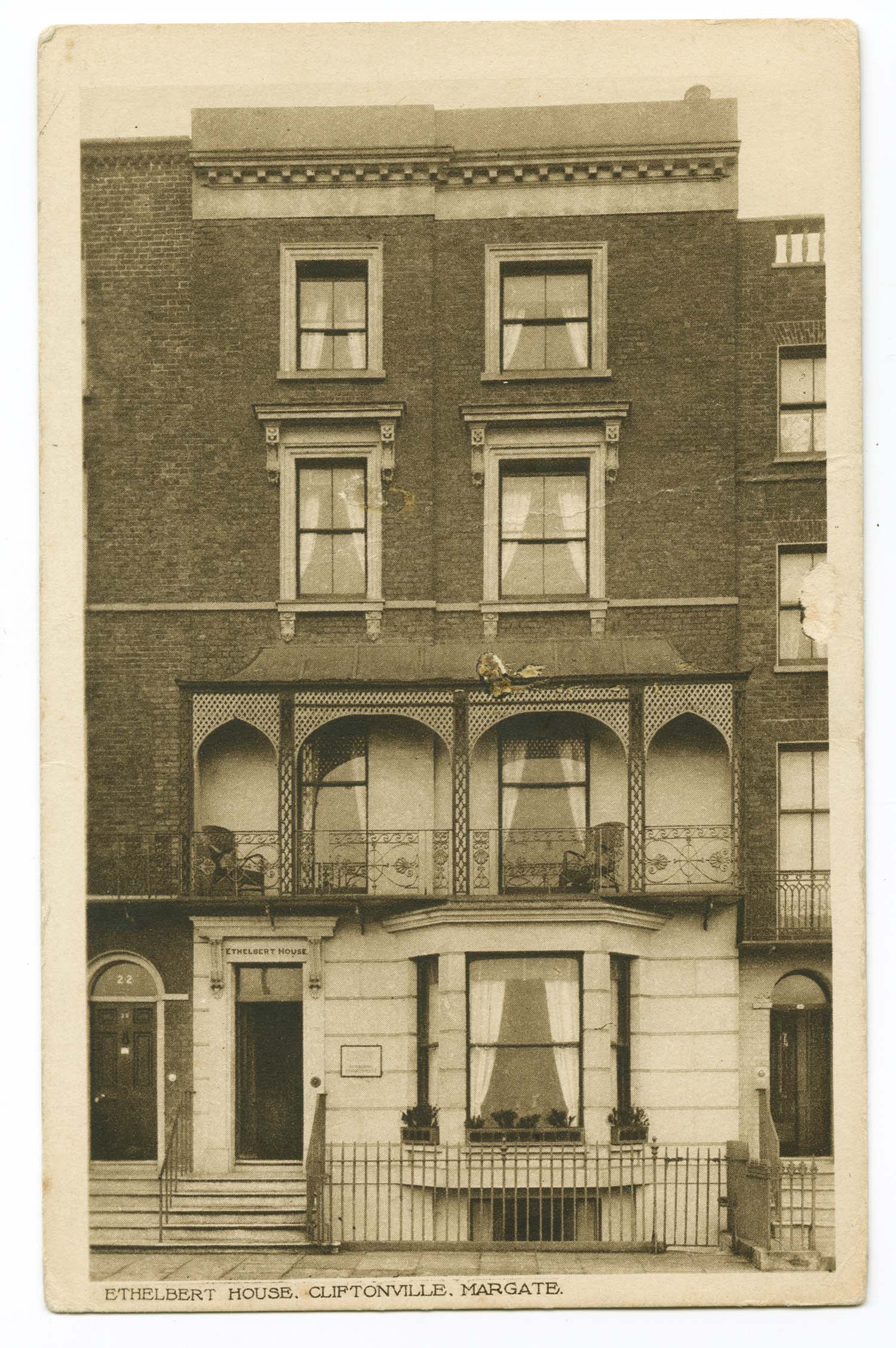
Fort Crescent No 21 Ethelbert House |
 |
 |
 |
 |
|
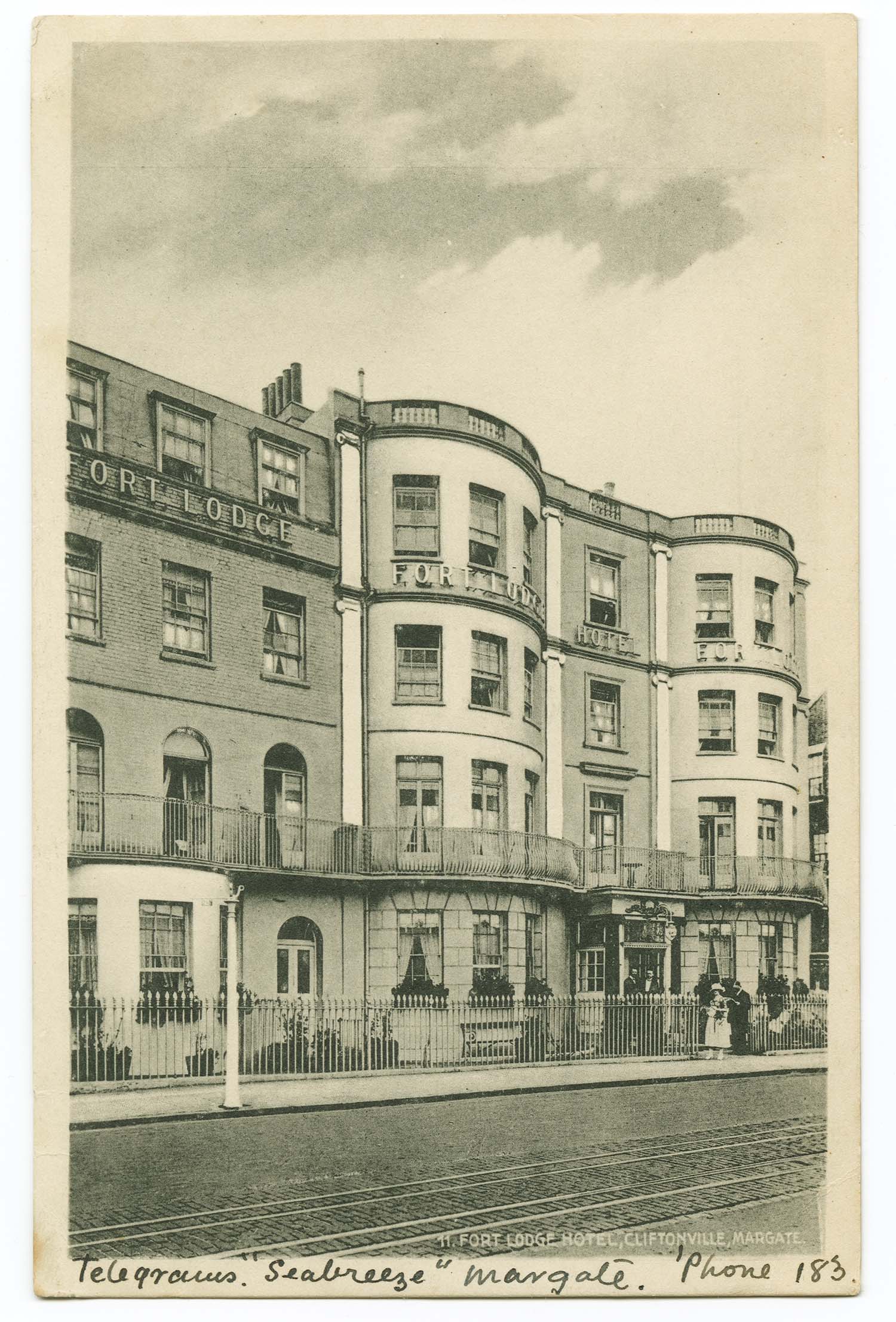
Fort Crescent/Fort Lodge Hotel |
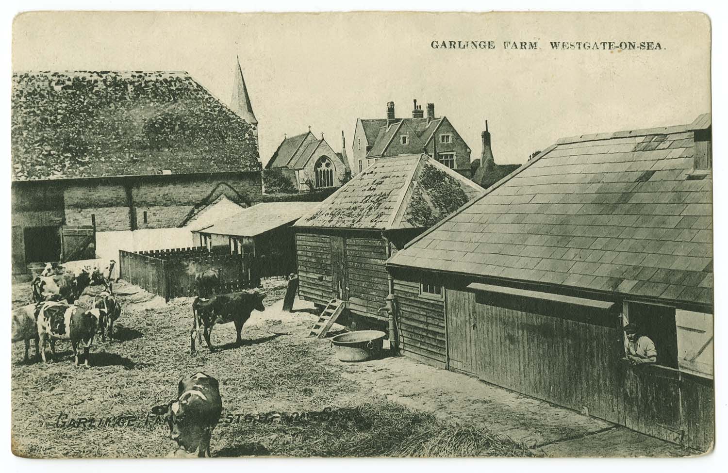
Garlinge Farm 1909 |
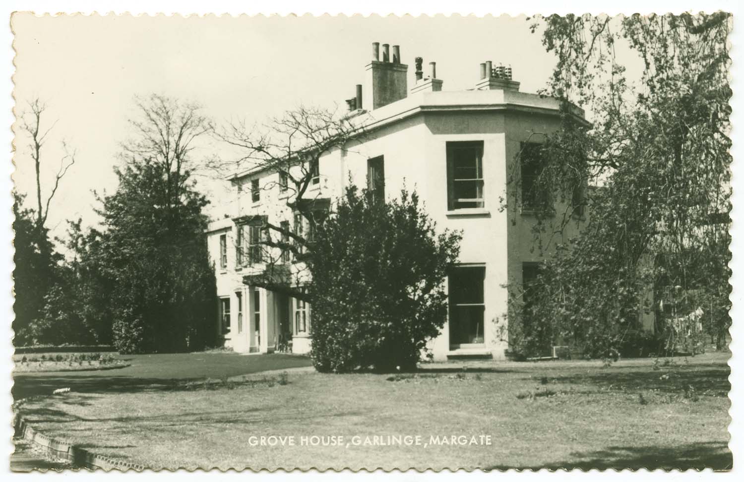
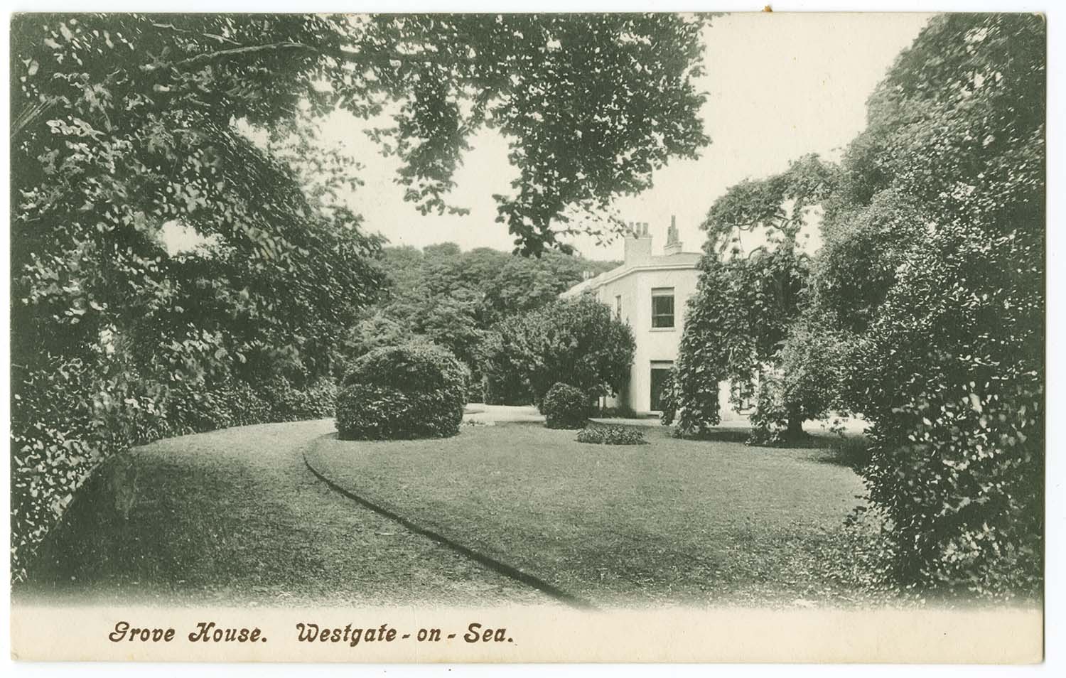
Grove House |
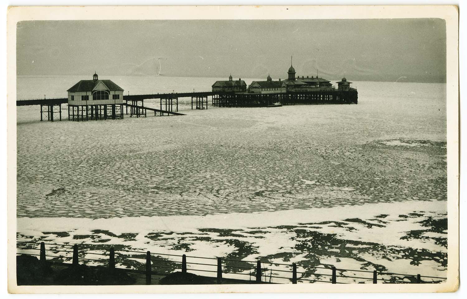
Frozen Sea |
|
June 22 2012 |
|||
Postcards added to the 1907 Ordnance Survey Map of Margate. |
|||
 |
 |
 |
 |
|
Addington street Lausanne House |
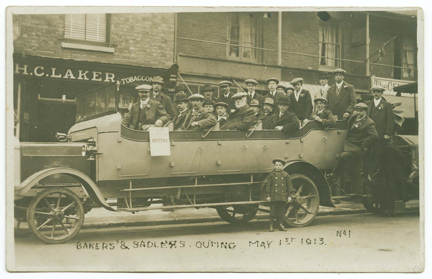
Broad street outing 1913 |
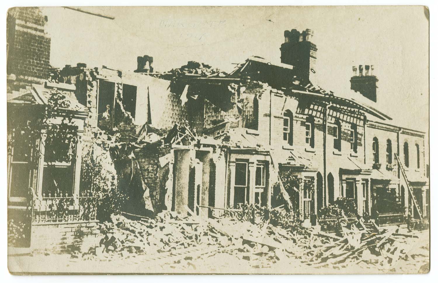
Buckingham Road No 36 Gotha Raid 30 Sept 1917 |
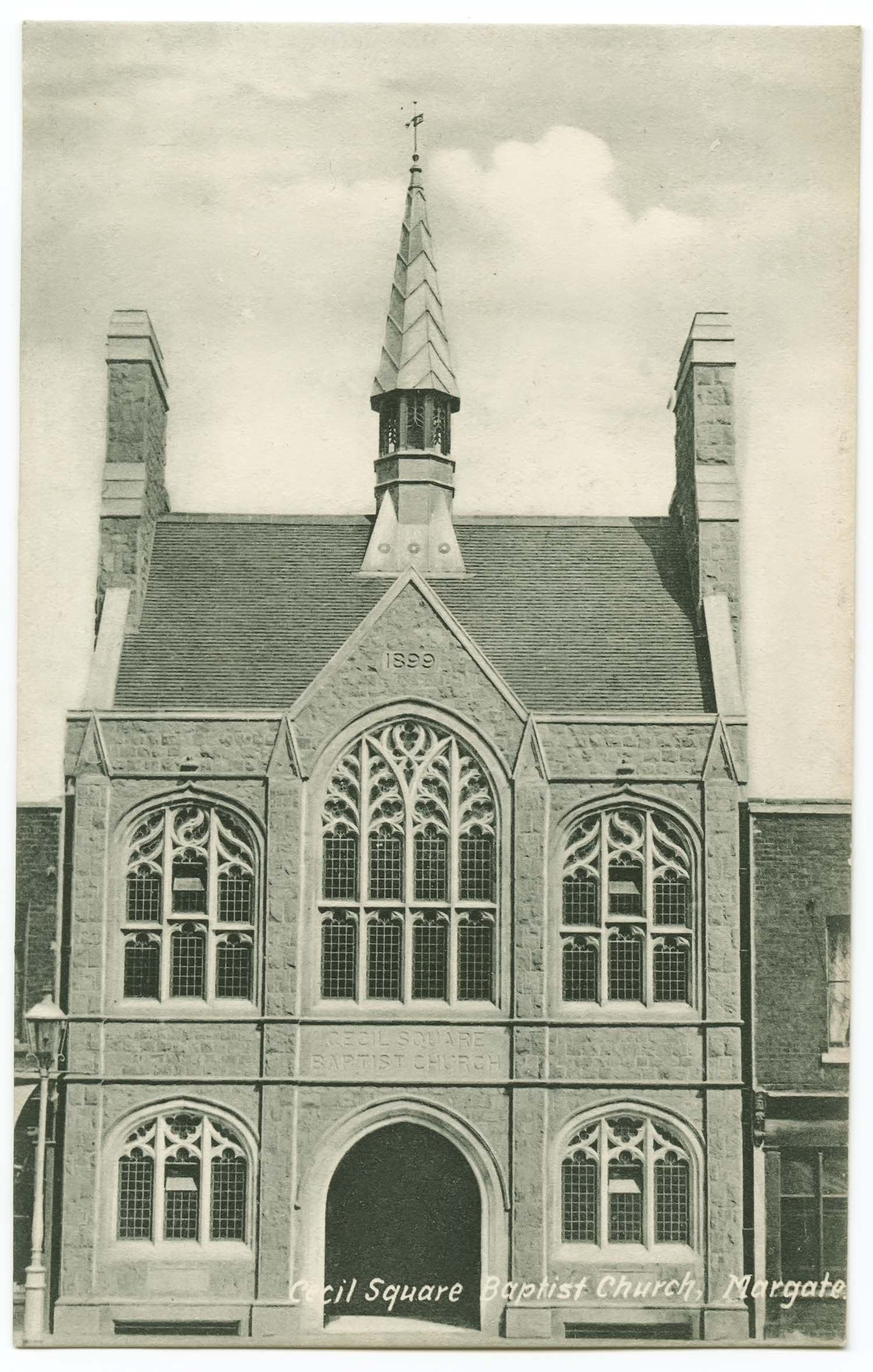
Cecil Square Baptist Church |
![Cecil square [photo] | Margate History](../Pictures/Postcards/Cecil Square/Cecil square photo.jpg) |
 |
 |
 |
|
Cecil Square [photo] |
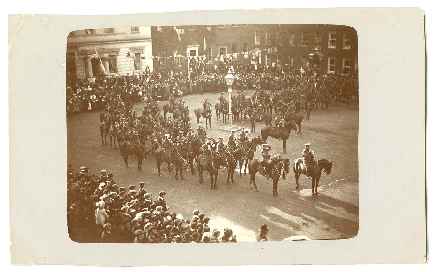
Cecil Square Army march 1911 |
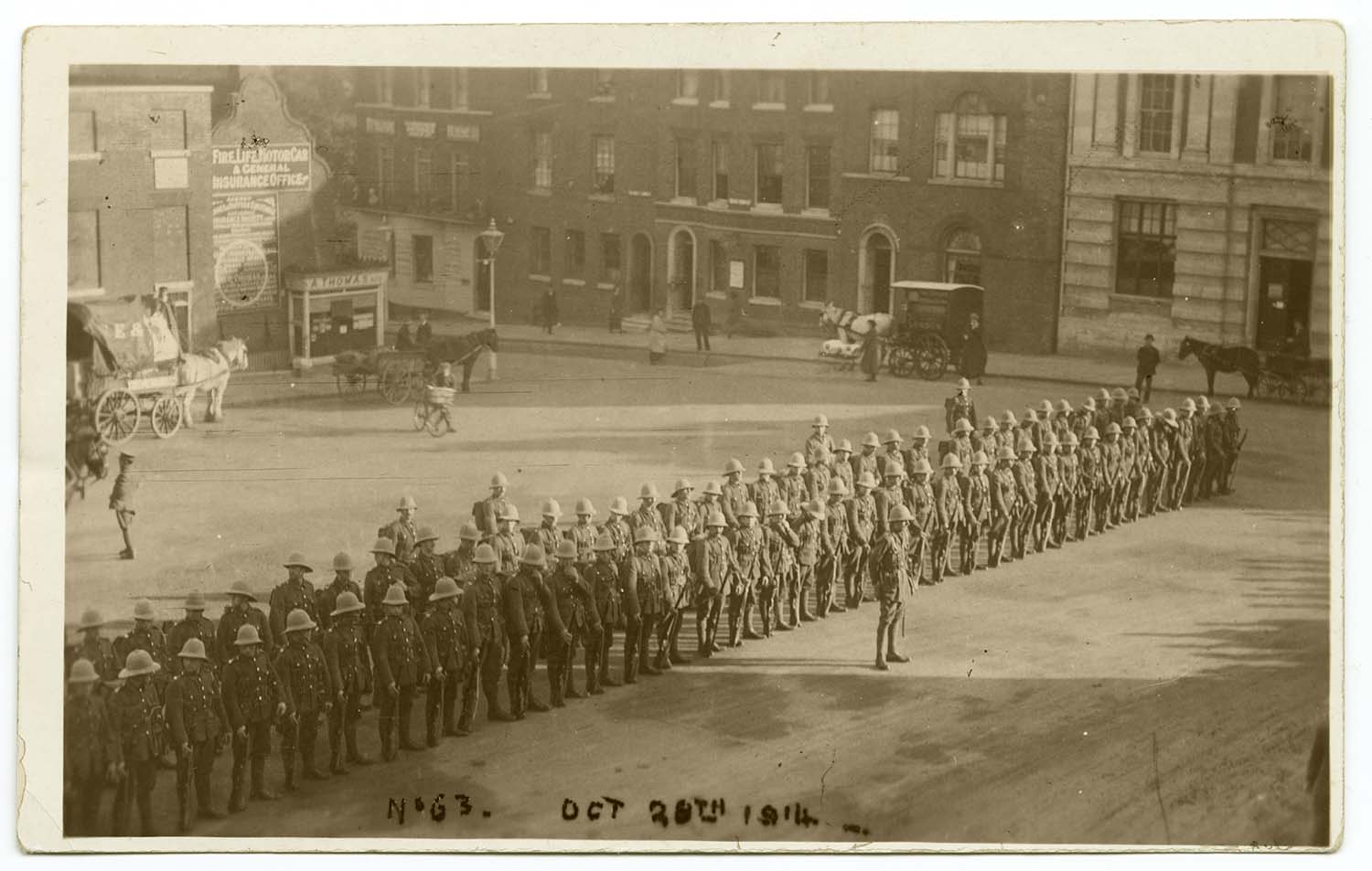
Cecil Square Soldiers Oct 1914 |
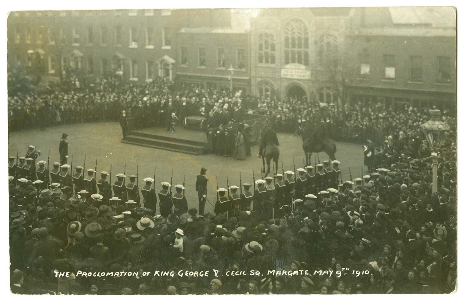
Cecil Square Proclamation of King George 1910 |
 |
 |
 |
|
|
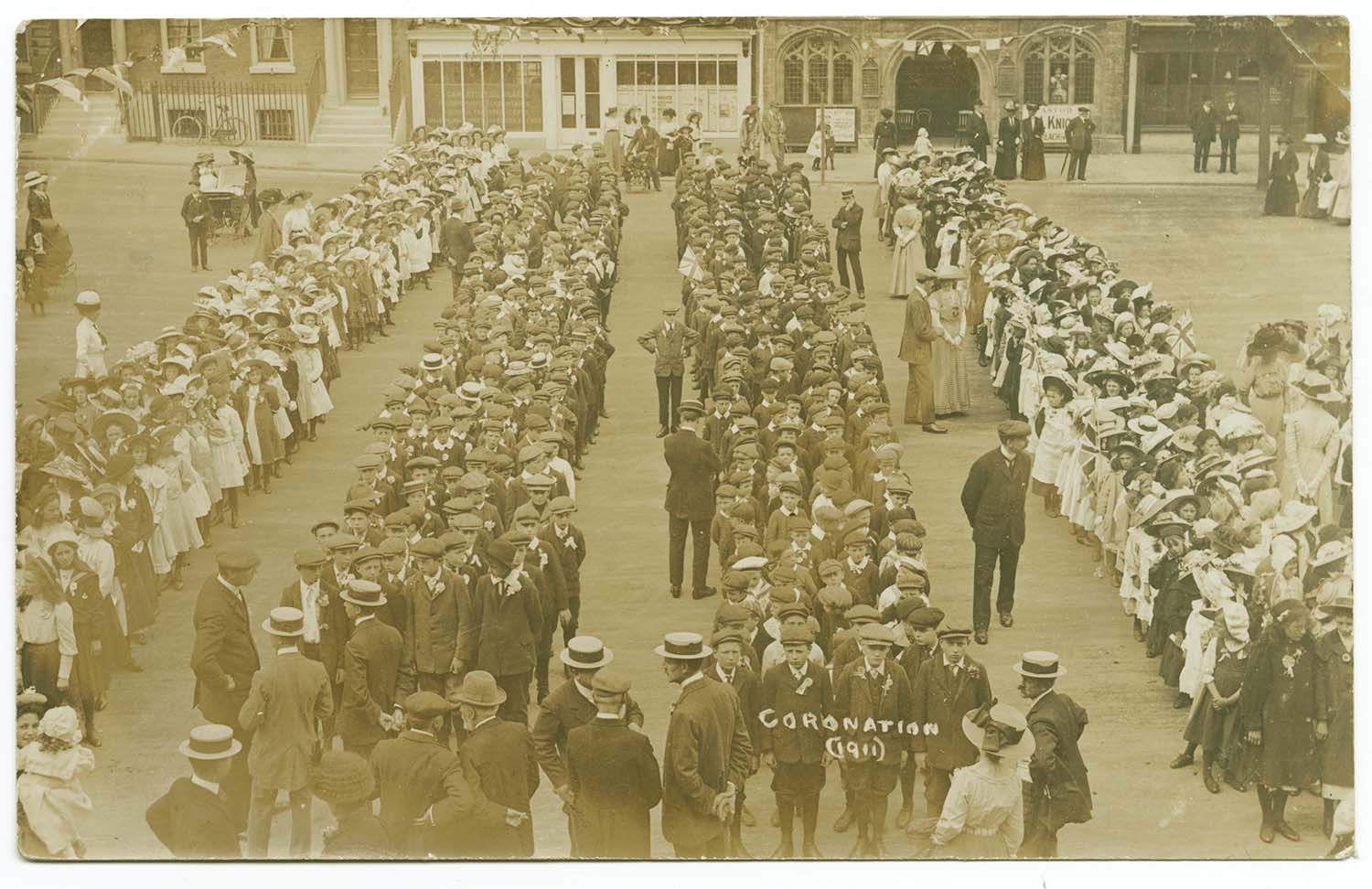
Cecil Square Coronation 1911 |
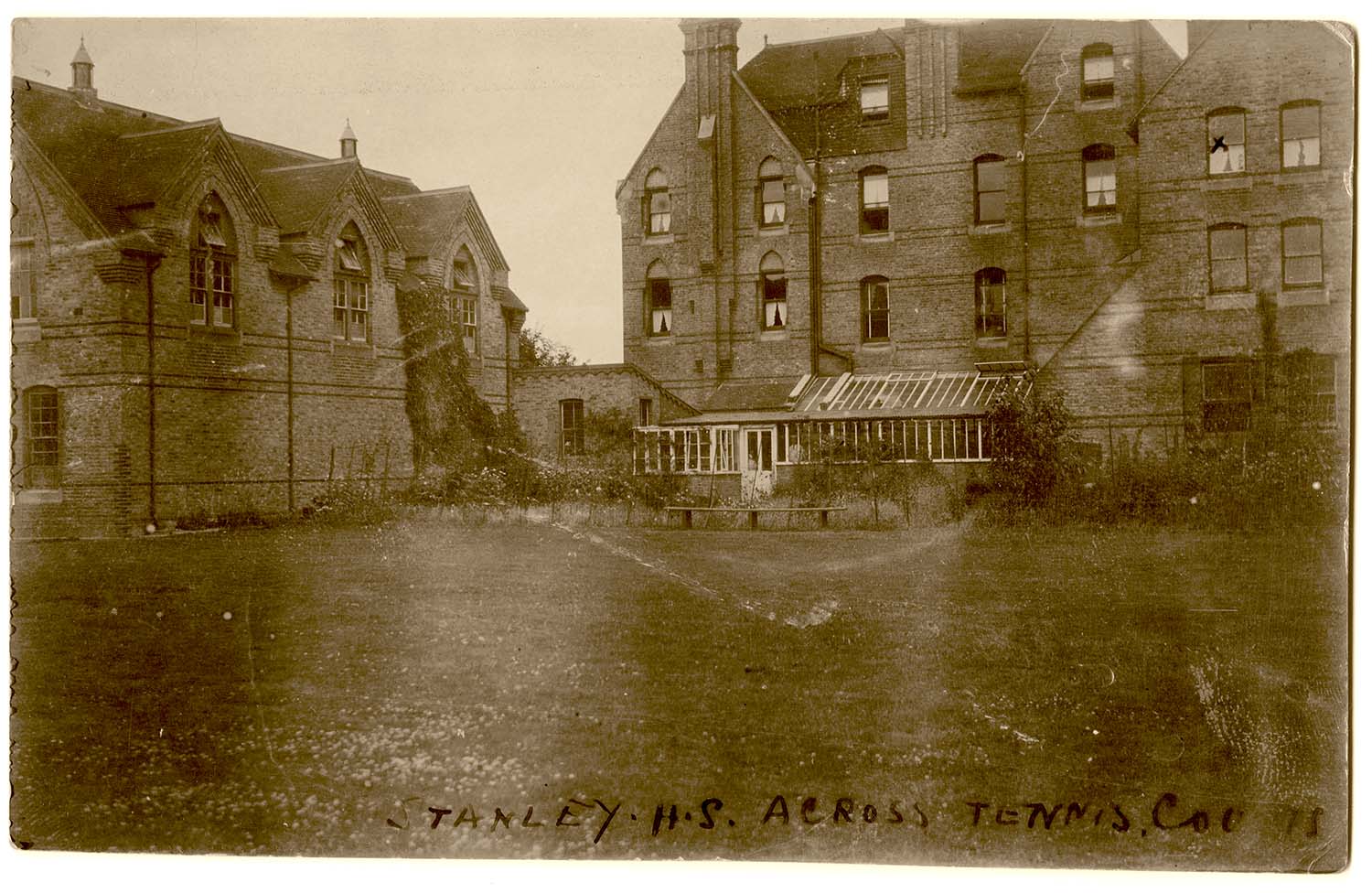
Clarendon Road/Stanley House School |
Cliftonville Avenue/Elmlea 1910 |
|
 |
 |
 |
 |
|
College Road/St Augustines |
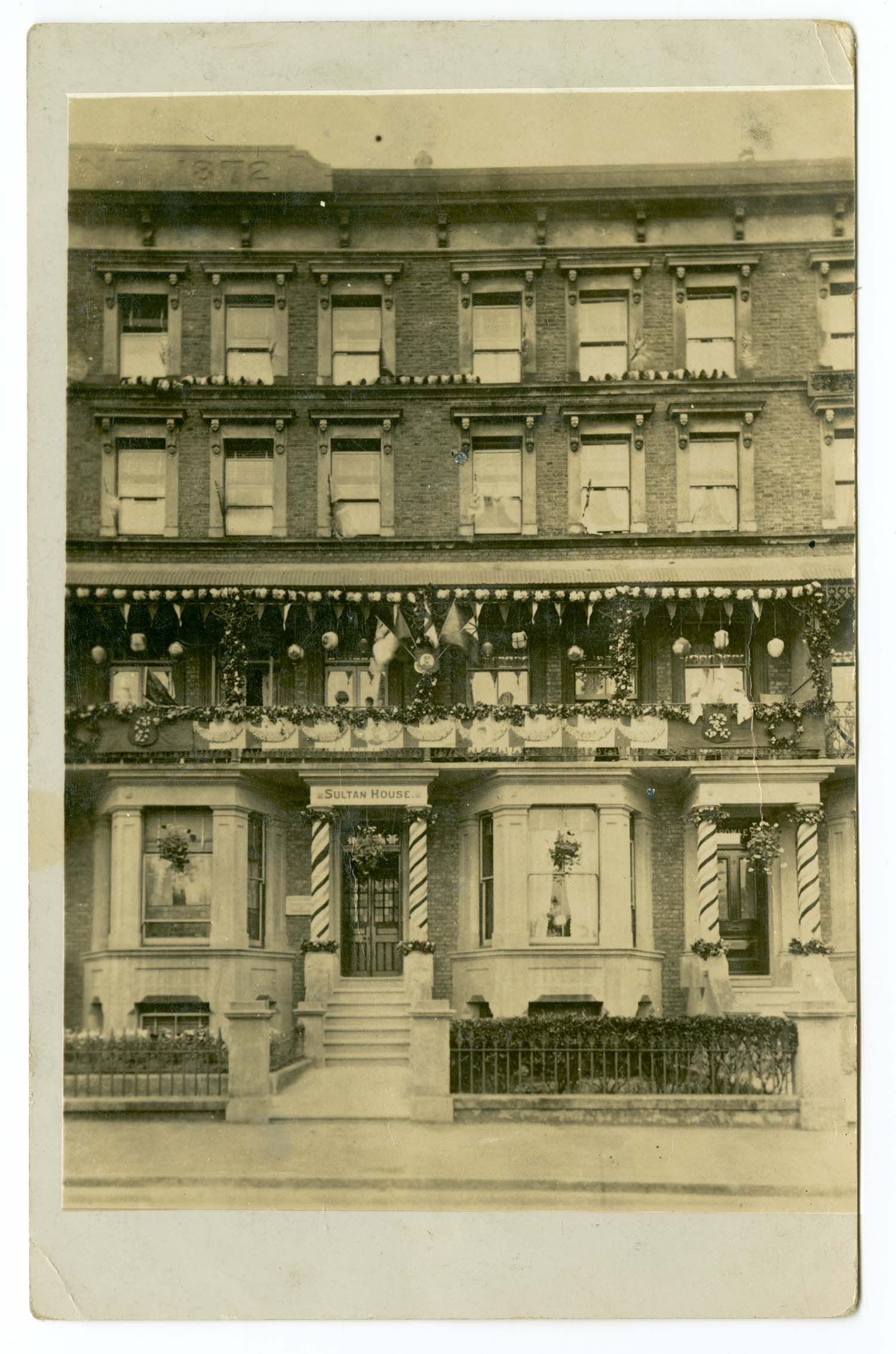
Dalby Square/Sultan House later Roydene |
Dalby Square/Cliff Side 1908 |
Dalby Square Buckingham House |
|
June 17 2012 |
|||
Postcards added to the 1907 Ordnance Survey Map of Margate. |
|||
 |
 |
 |
 |
|
Addington Road No 5 |
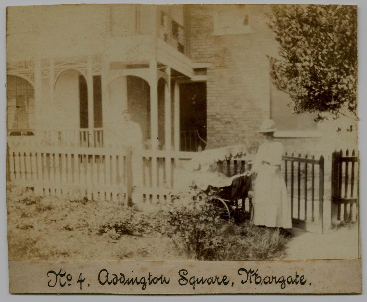
Addington Square No 4 |
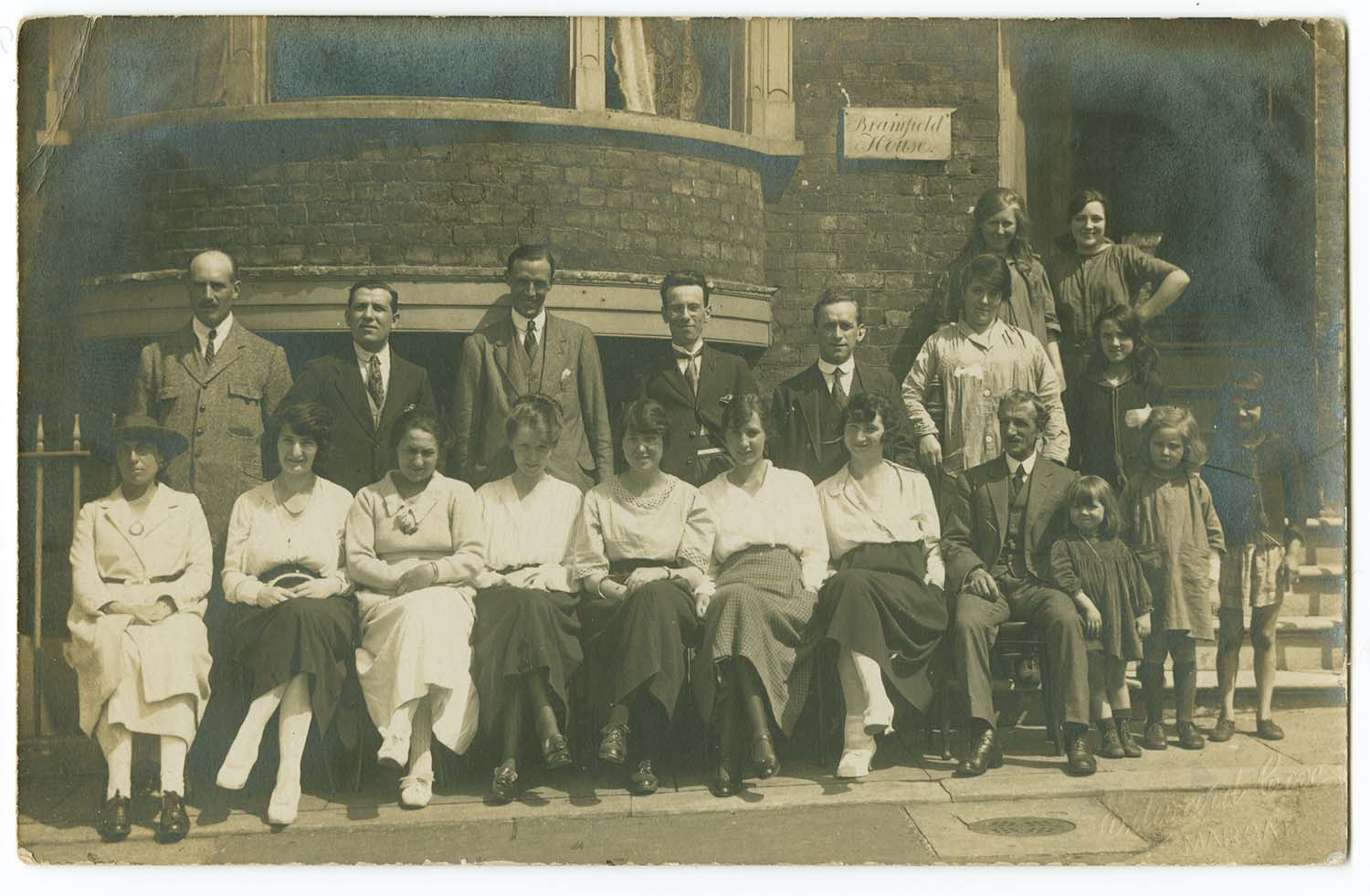
Albert Terrace Bramfield House 1920 |
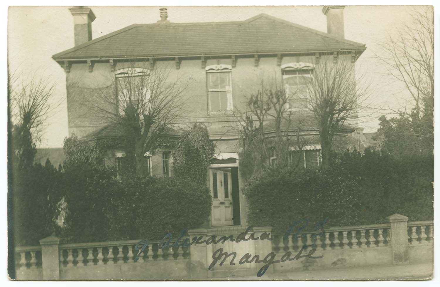
Alexandra Road [Tivoli] No 9 |
 |
 |
 |
 |
|
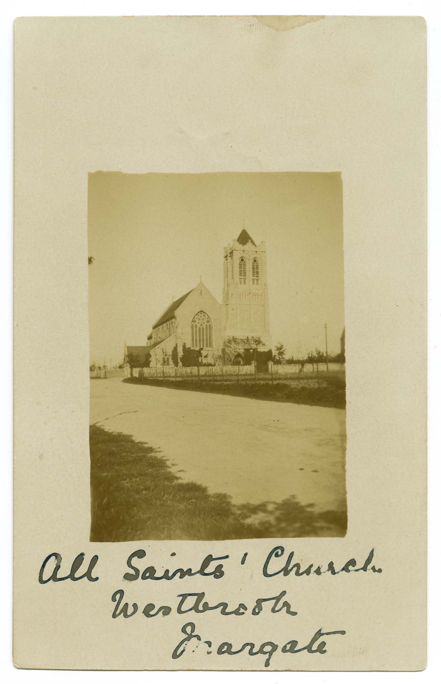
All Saints Church Westbrook ca 1903 |
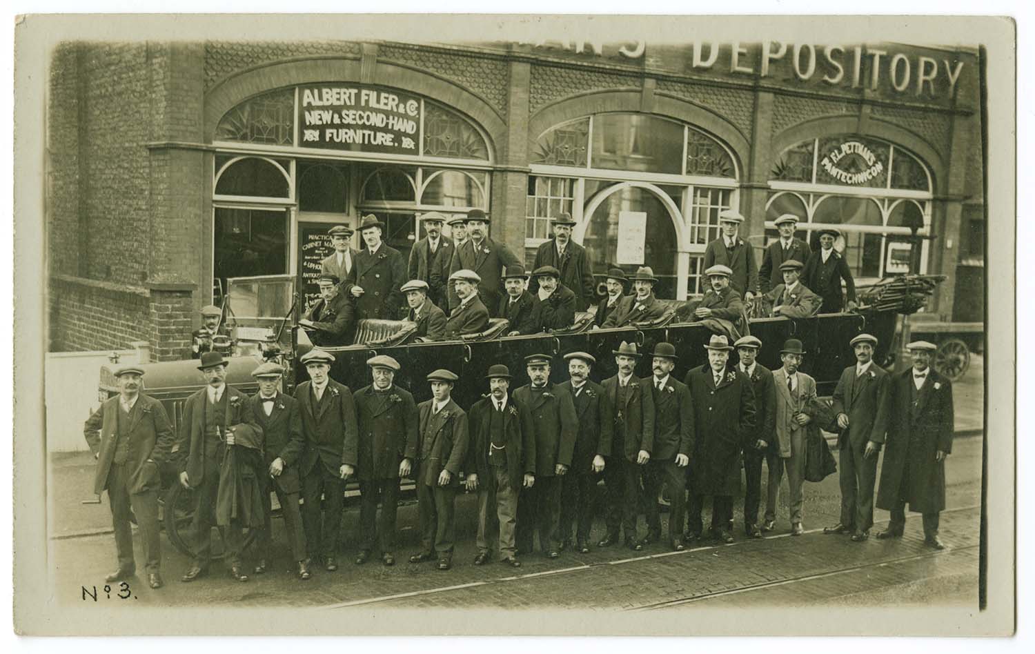
Athelstan Road Pettmans Depository Annual Outing |
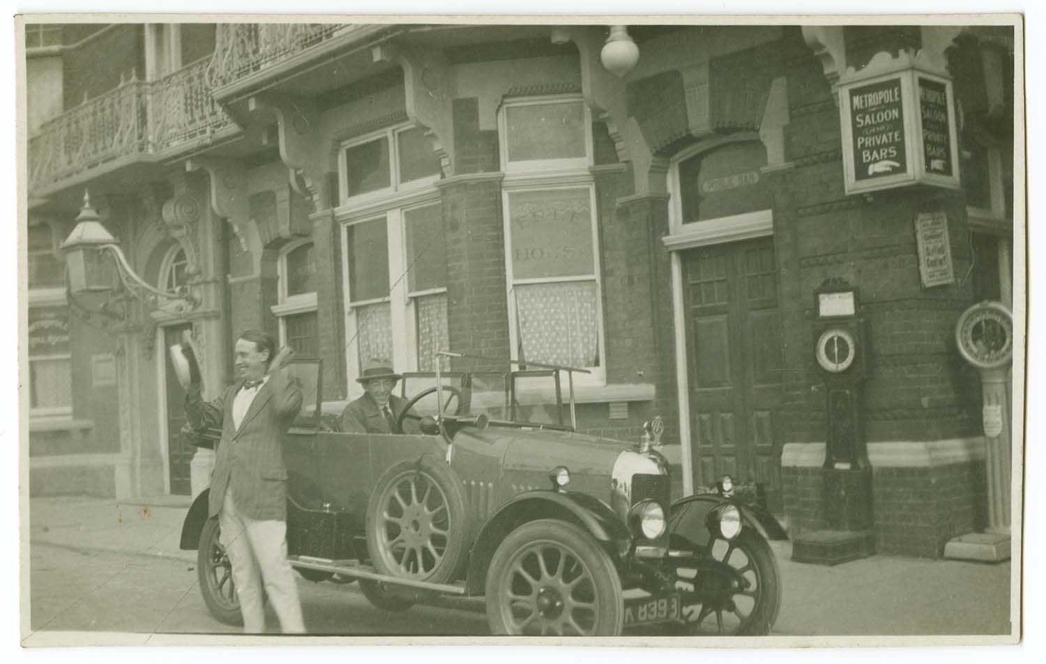
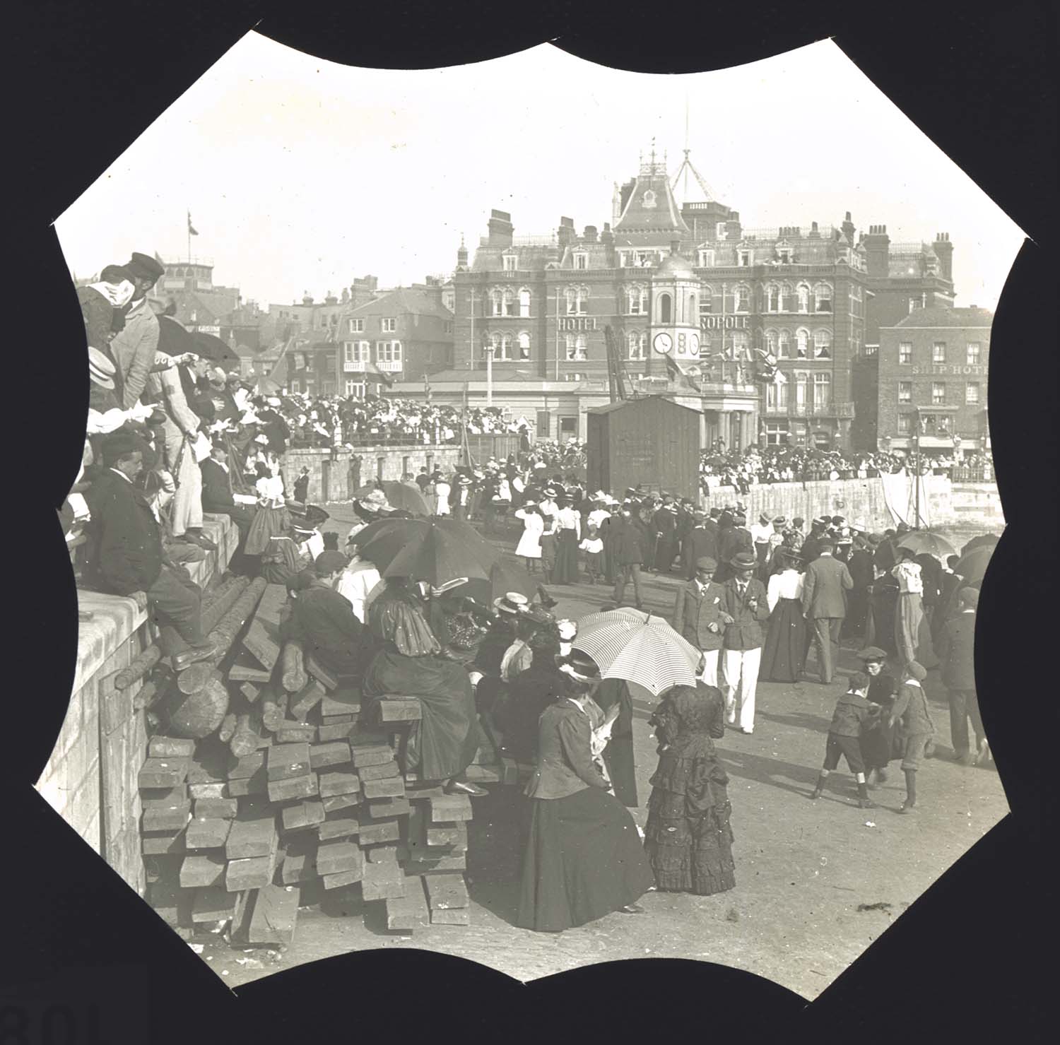
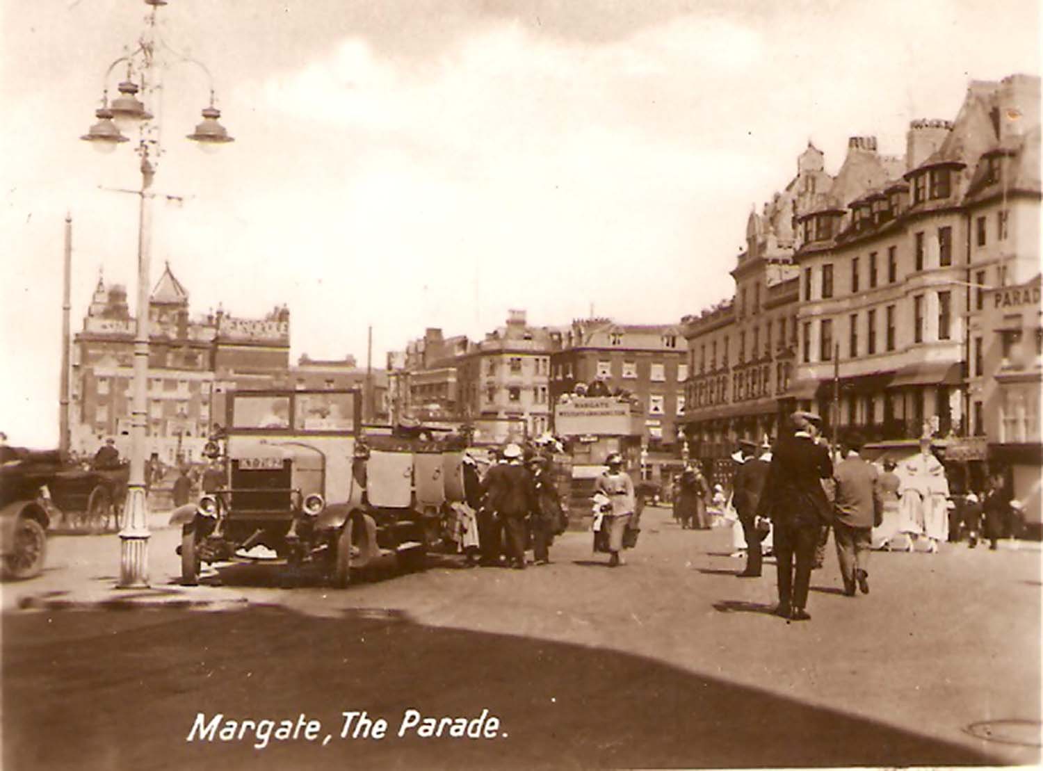
Parade car outside hotel Metropole |
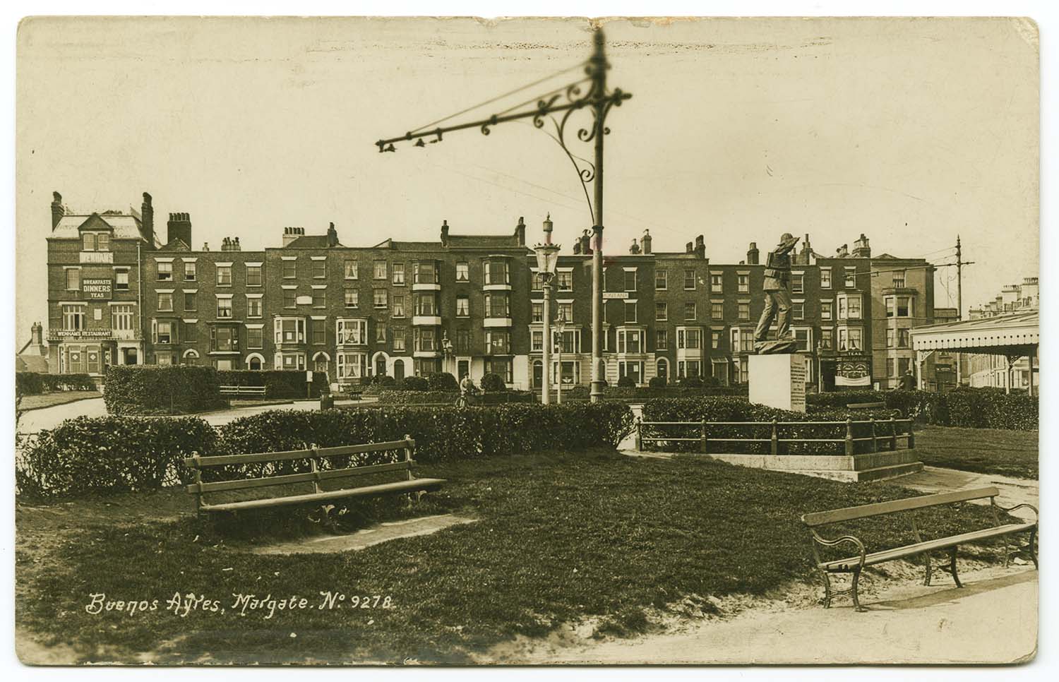
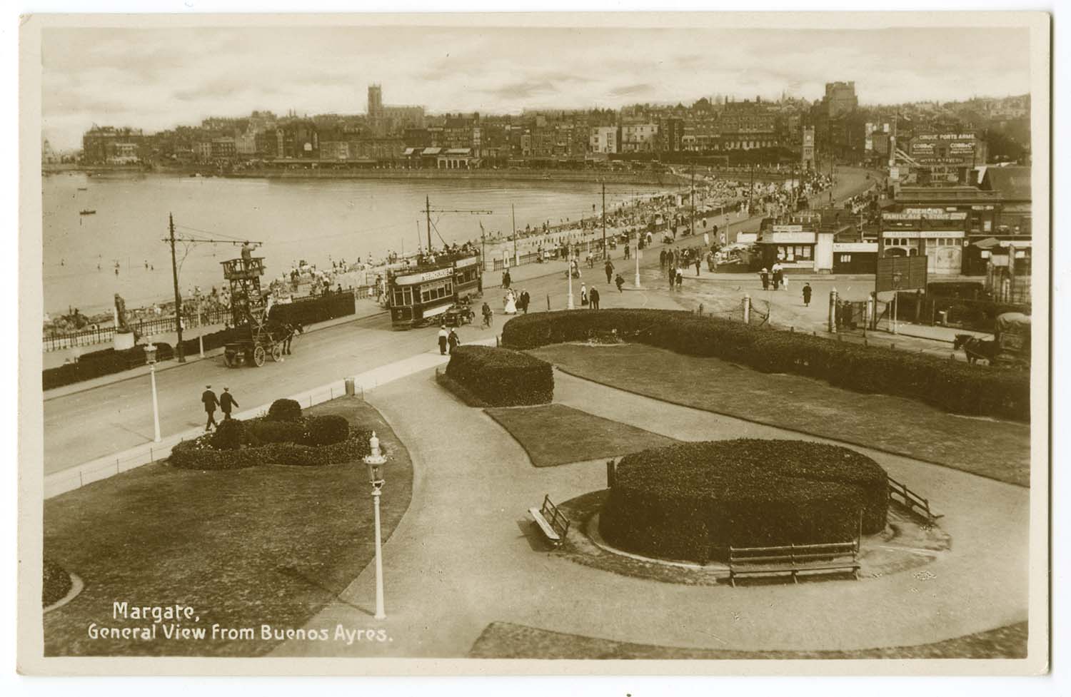
Buenos Ayres |
 |
 |
 |
 |
|
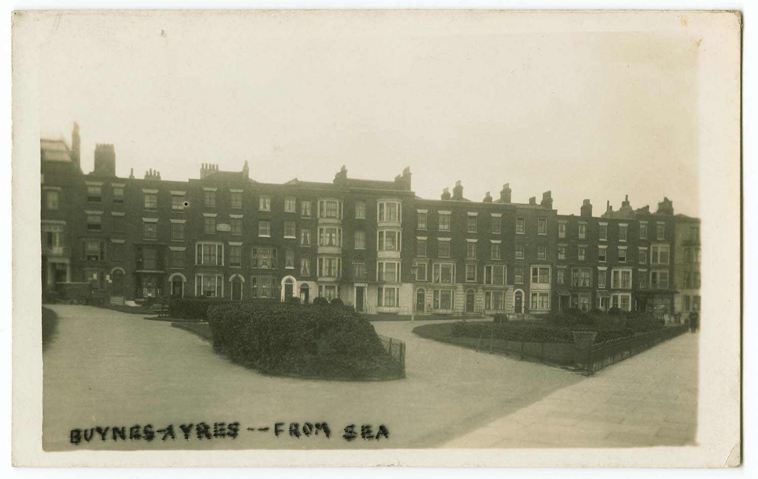
Buenos Ayres 1927 |
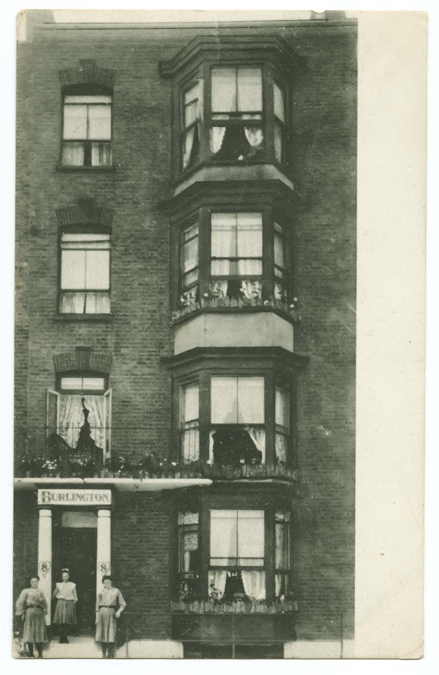
Buenos Ayres Burlington 1910 |
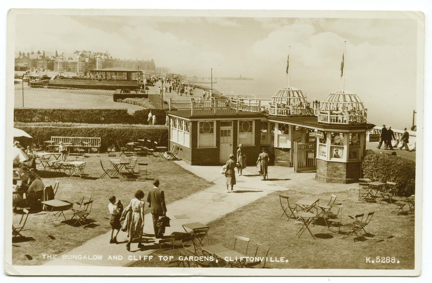
Bungalow and Cliff Top Gardens 1955 |
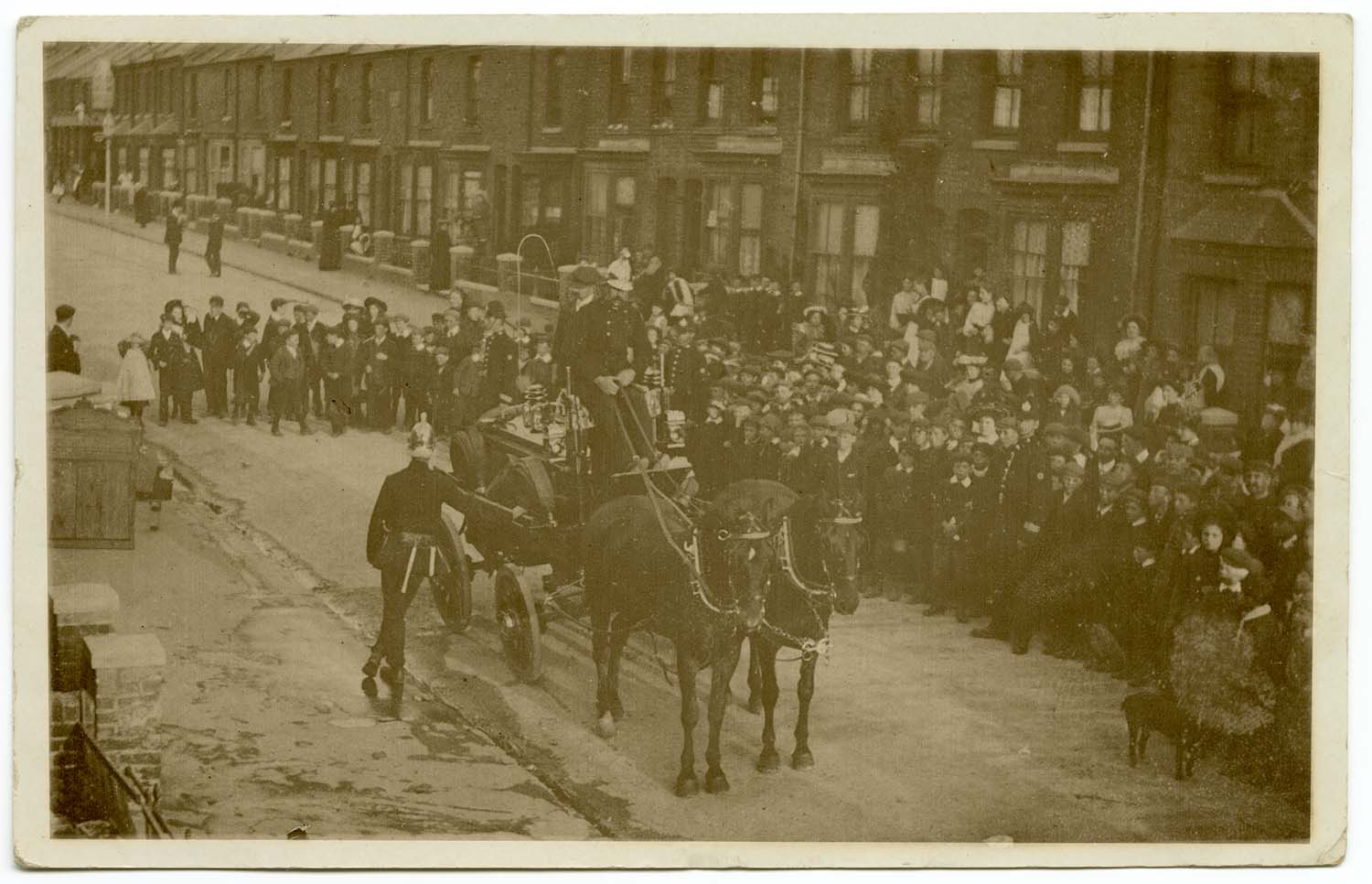
Byron Road and Fire Brigade |
 |
 |
 |
 |
|
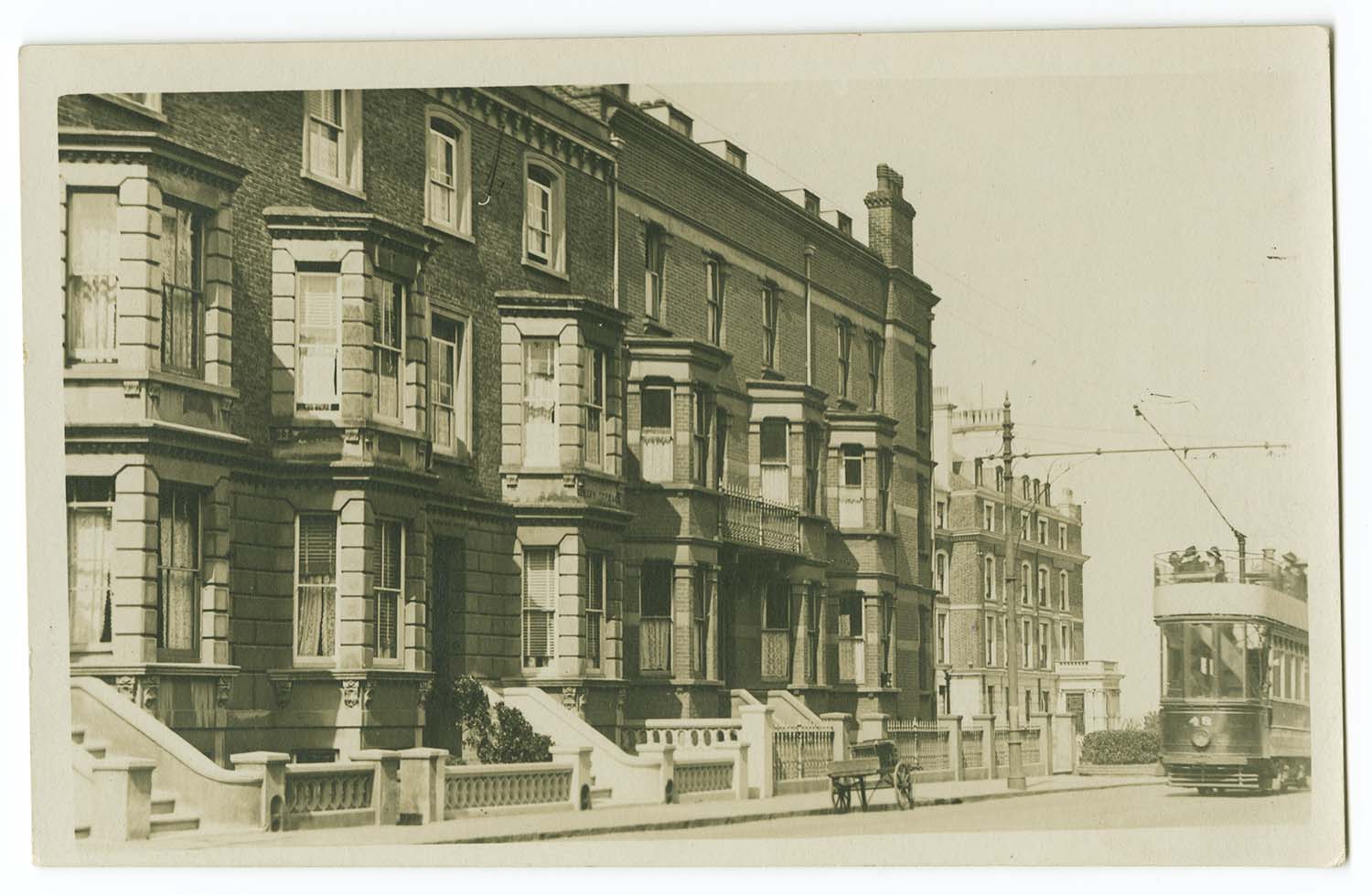
Canterbury Road near Royal Crescent |
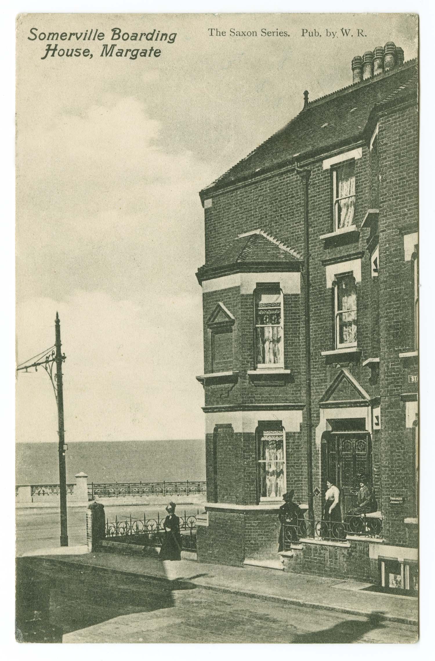
Canterbury Rd jnc with Station Rd Somerville |
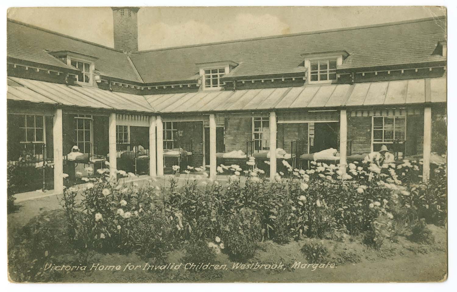
Canterbury Rd Victoria Home Ward and Garden 1928 |
Dreamland Aerial View 1953 |
|
June 12 2012 |
|||
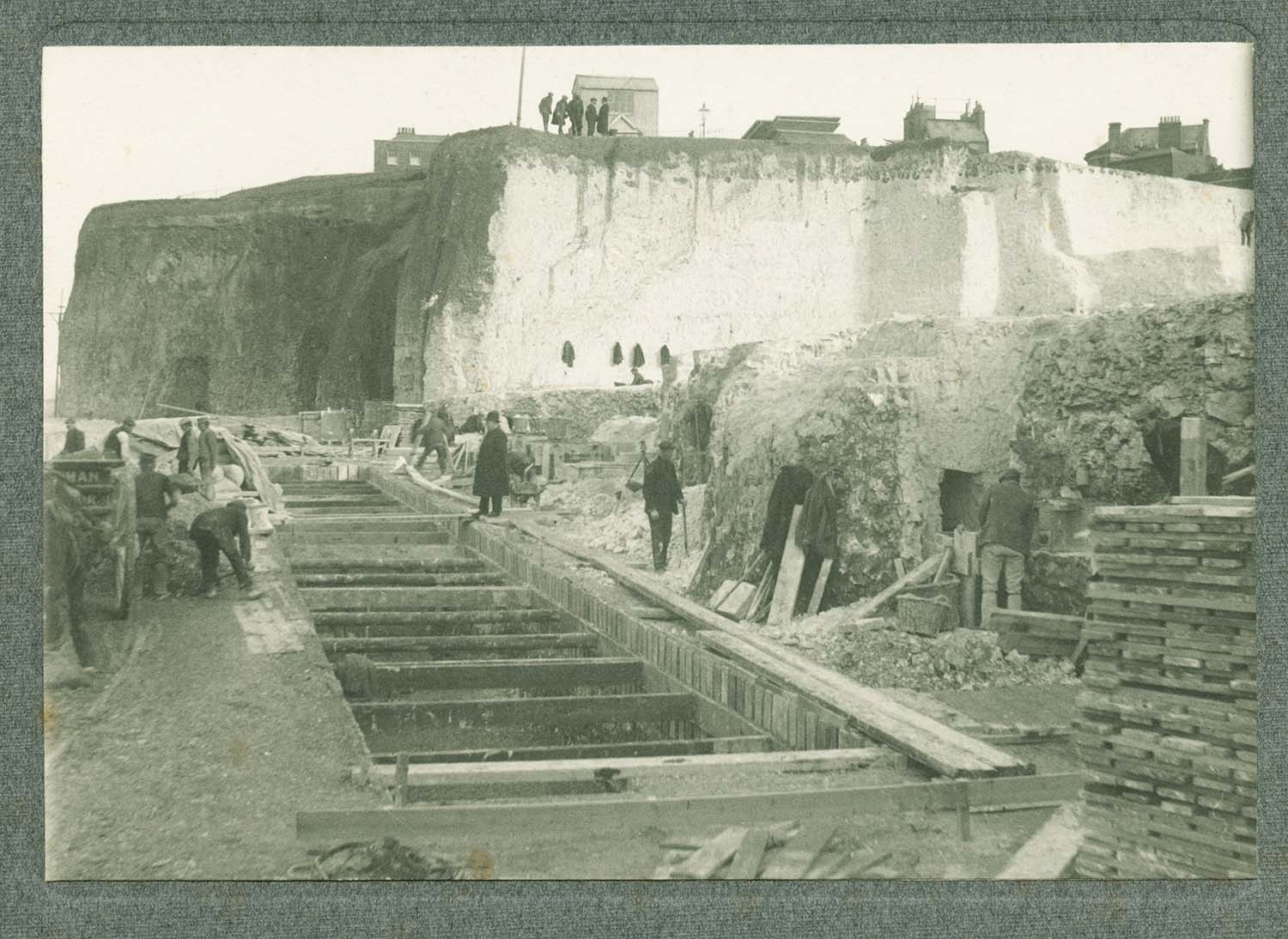
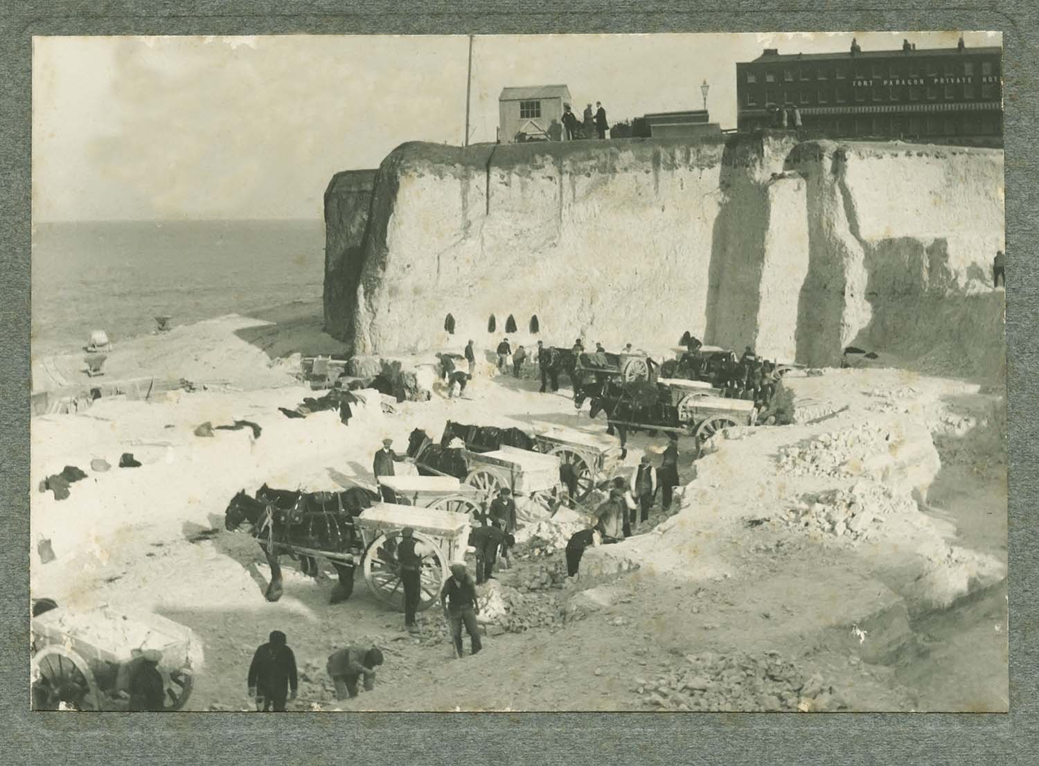
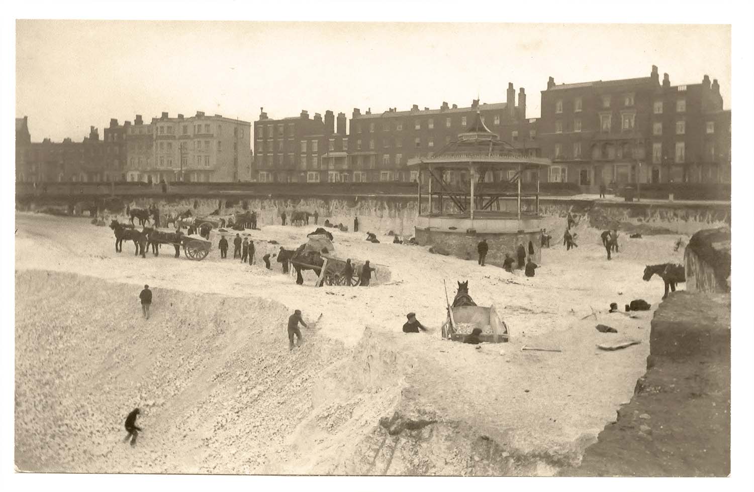
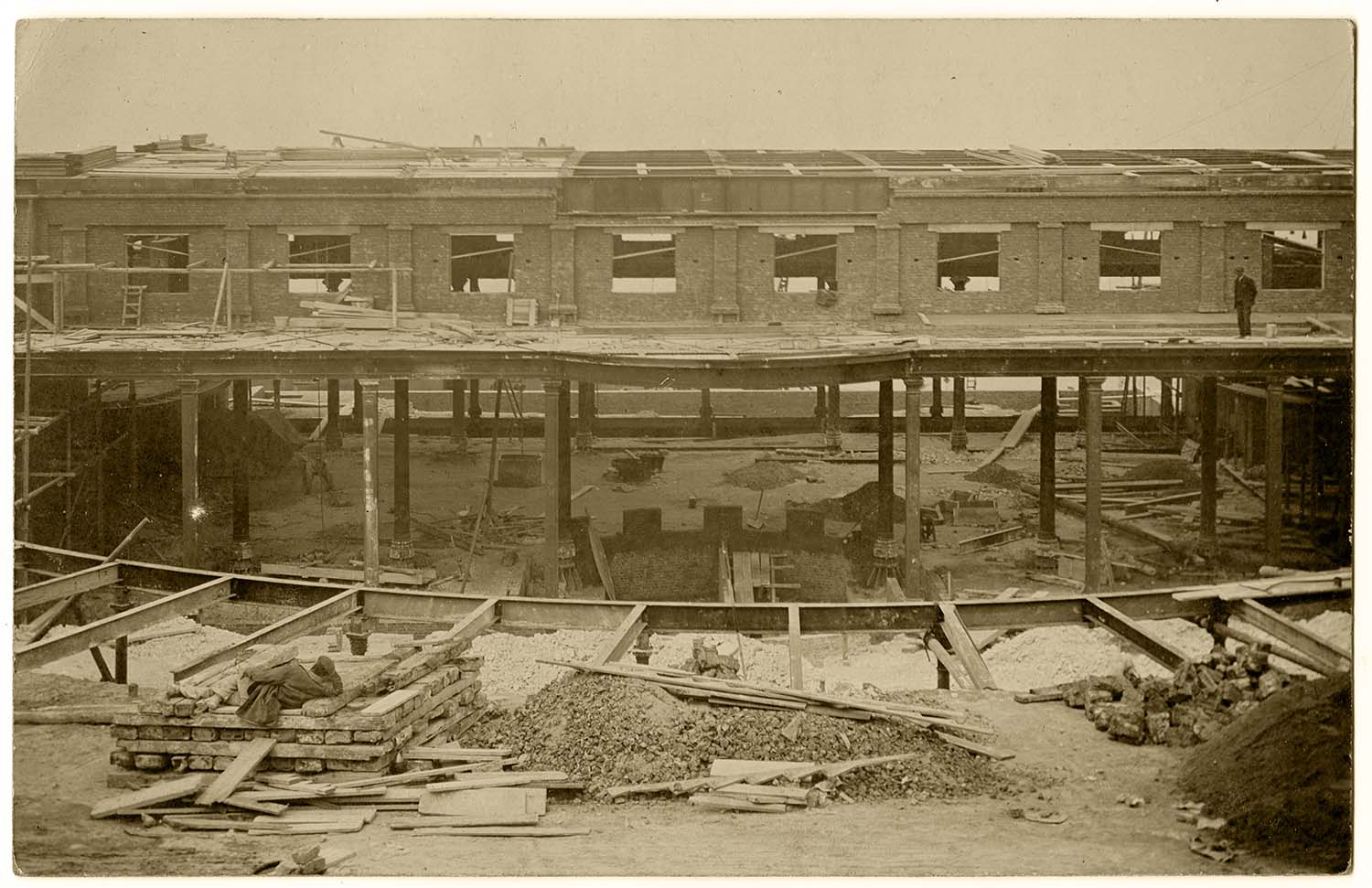
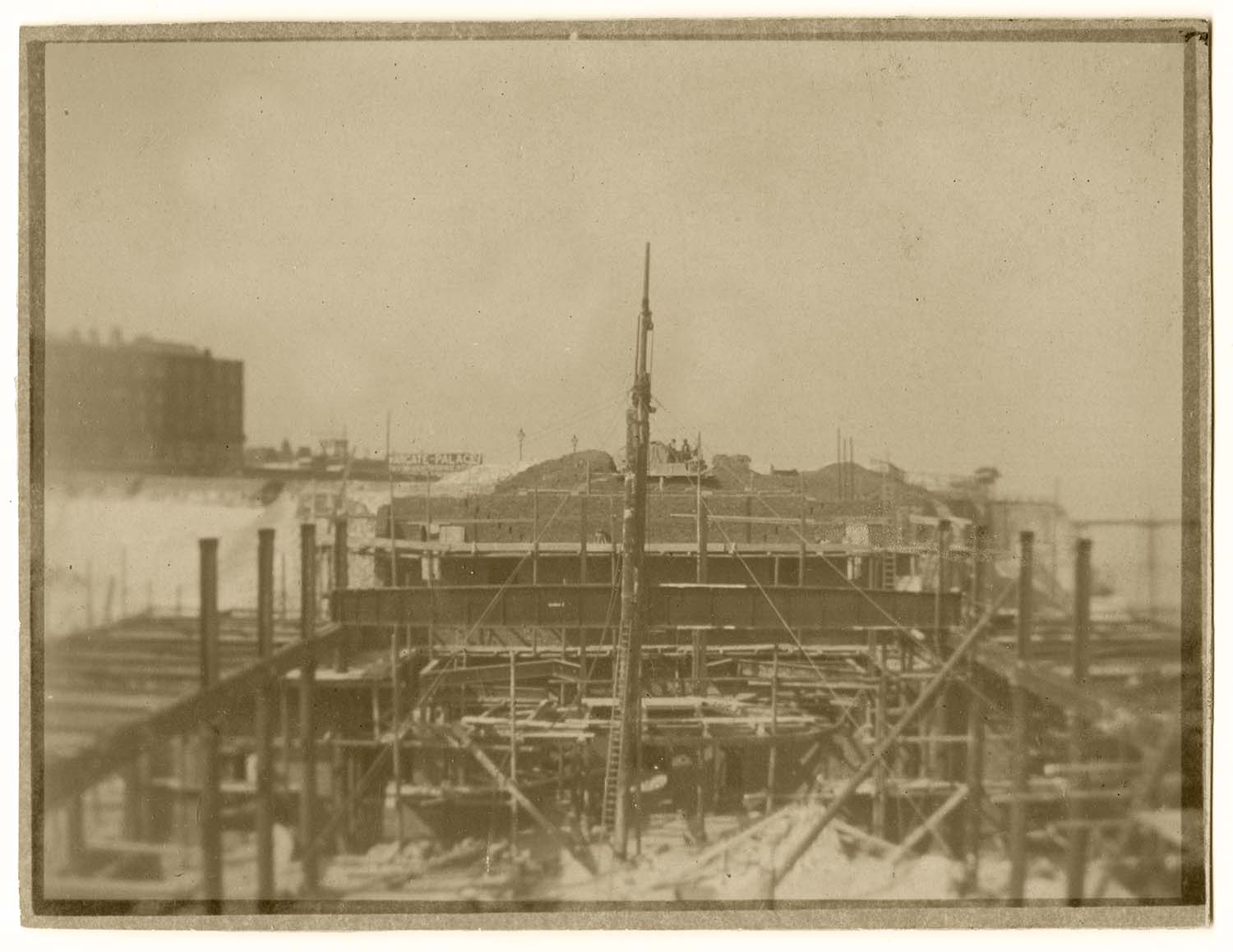
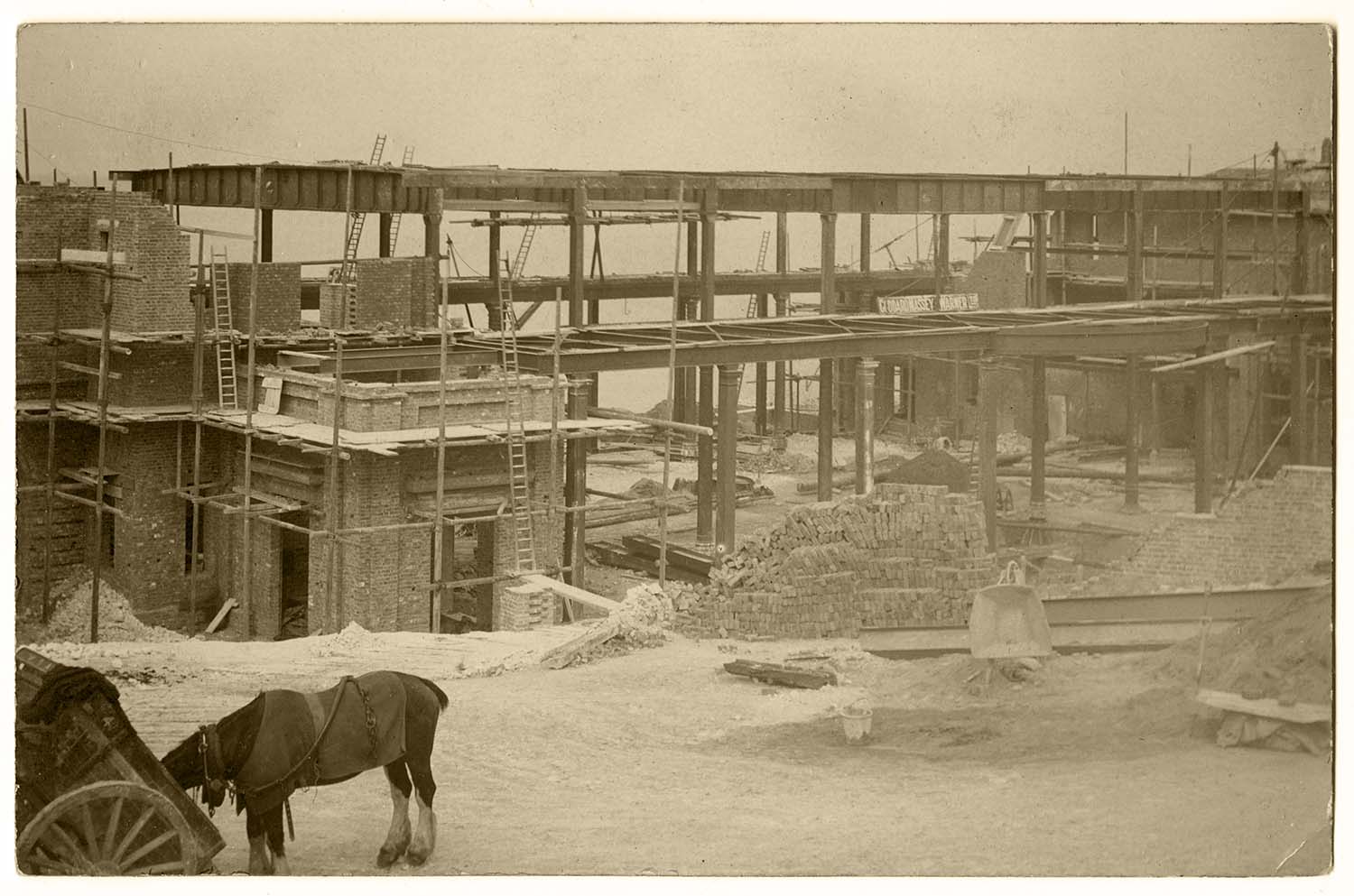
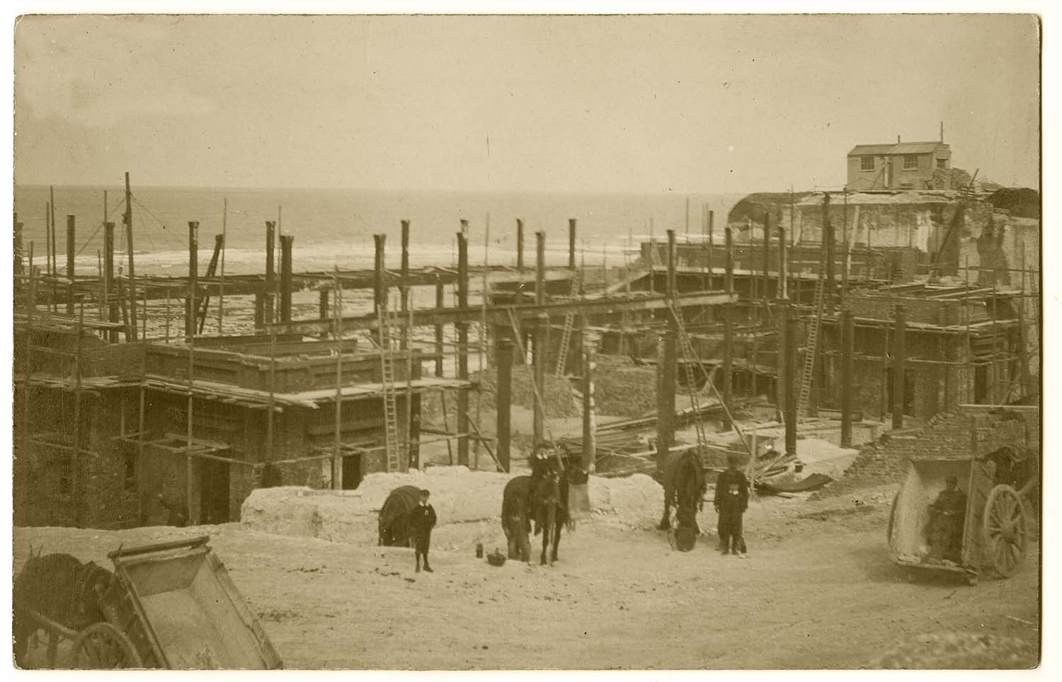
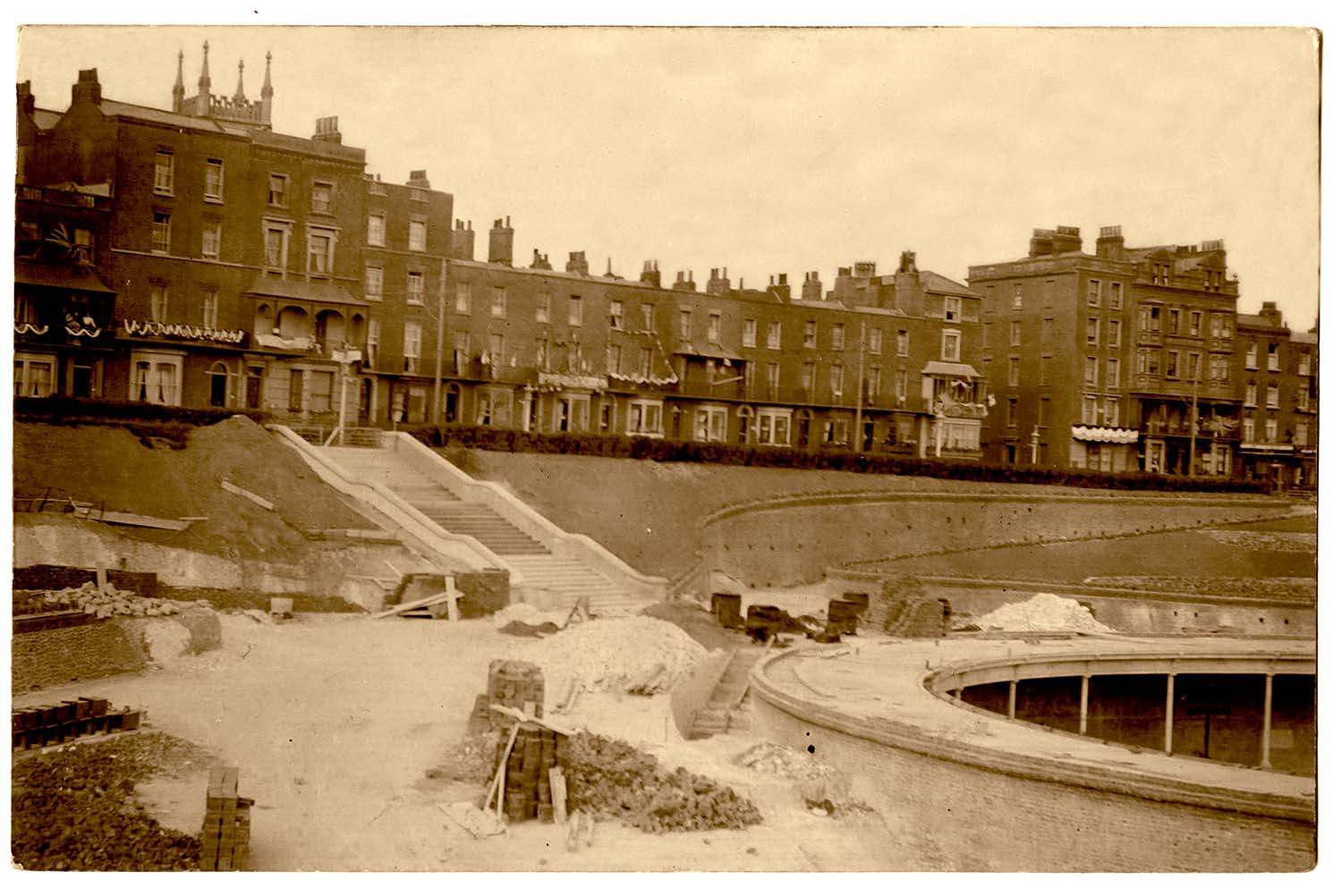
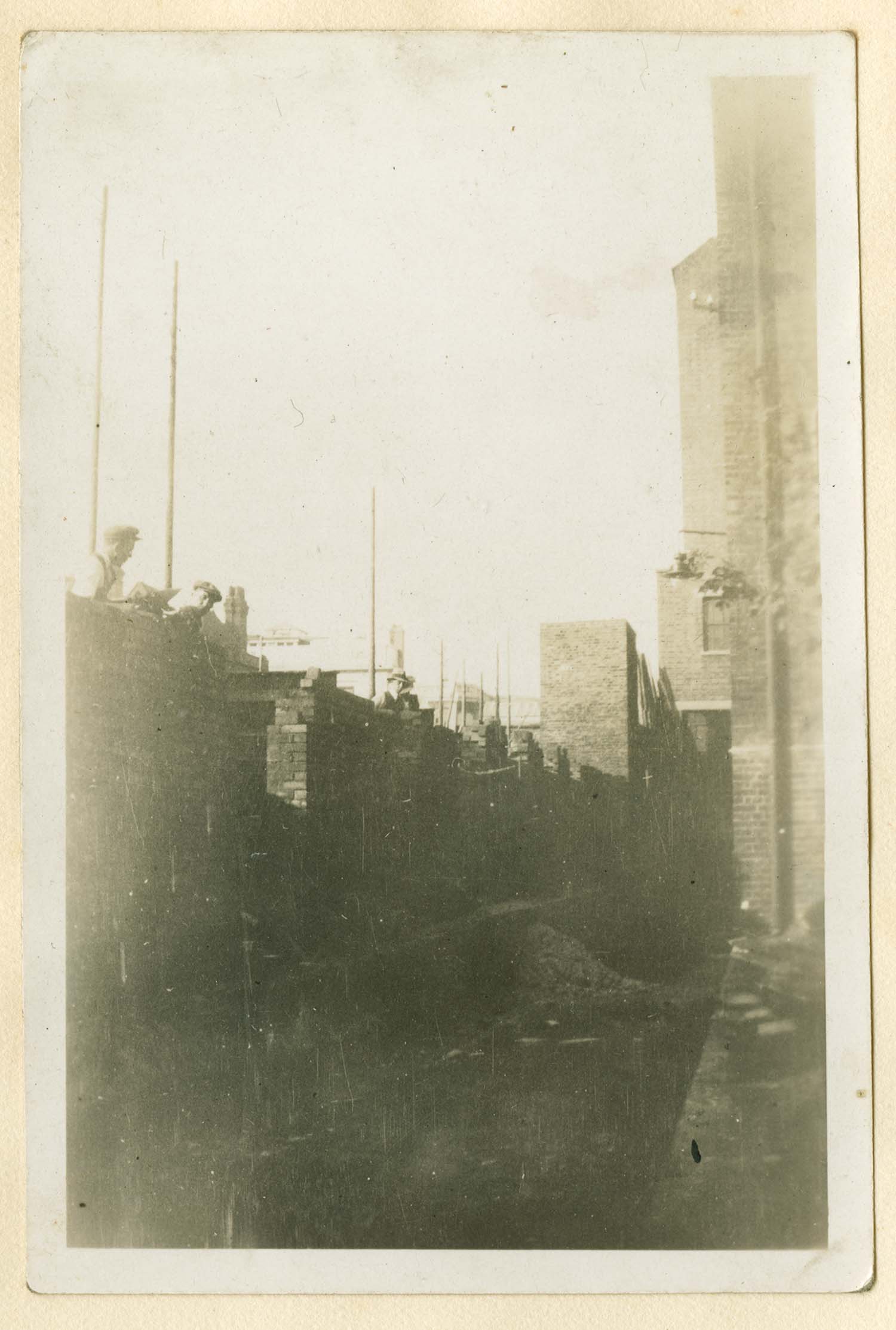
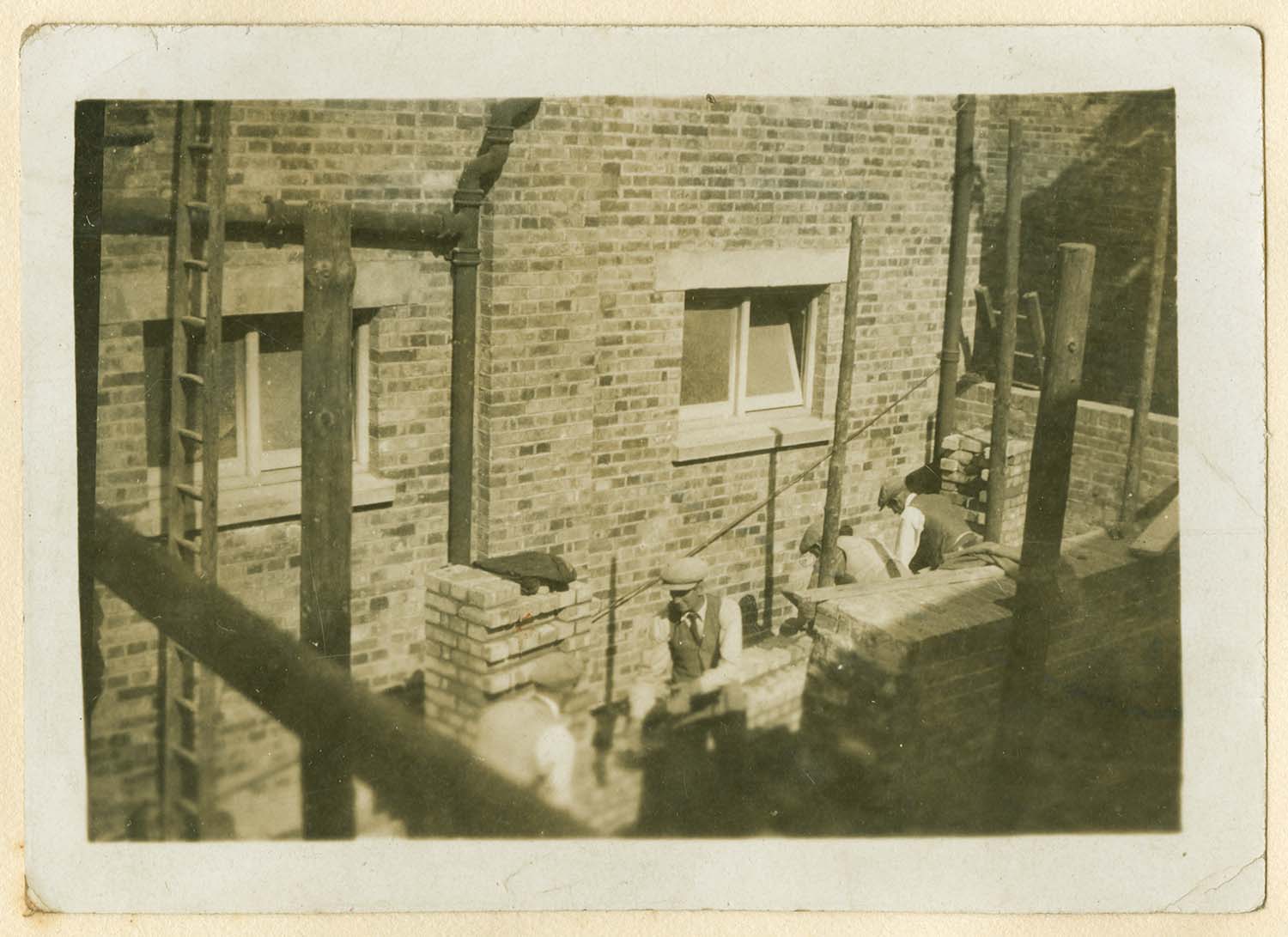
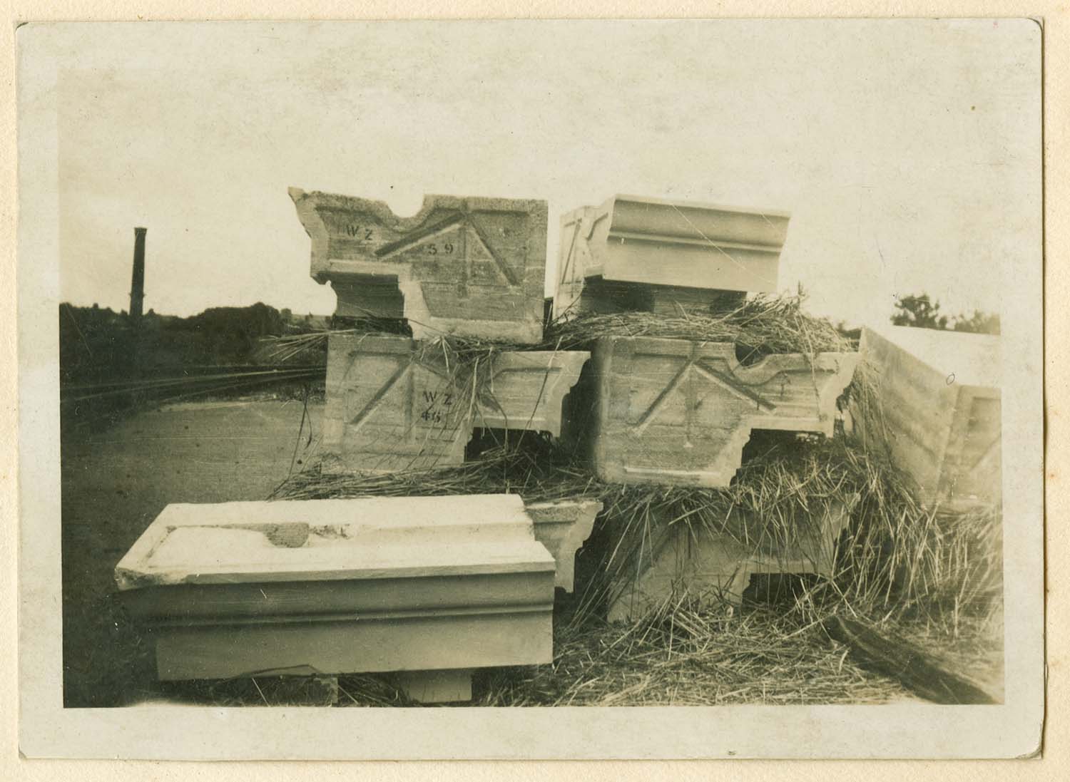
The construction of two Margate Buildings. |
|||
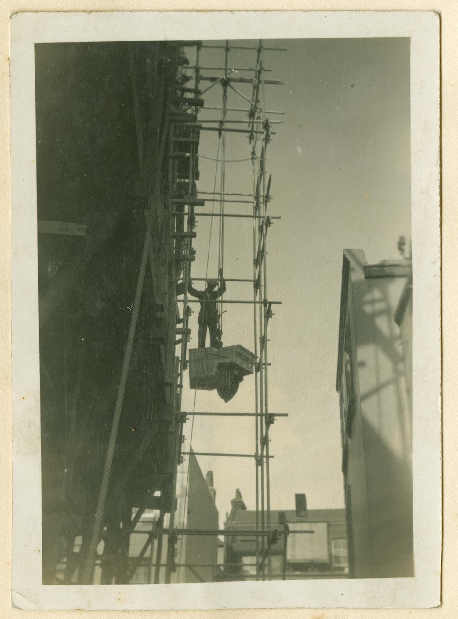
Building the Winter Gardens: Other pictures are available in the Margate Civic Society newsletter No 362 |
|||
 |
 |
 |
 |
|
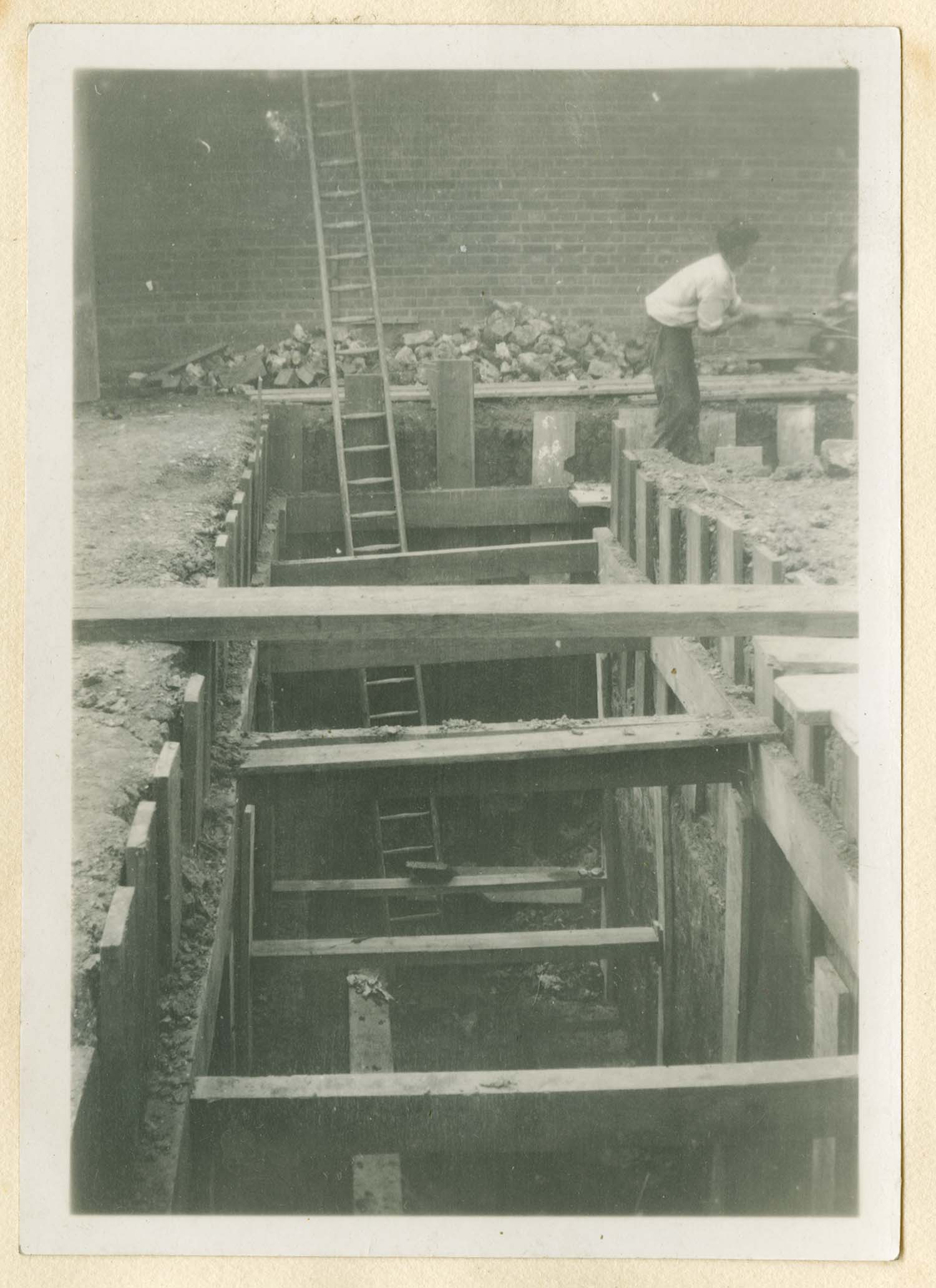
Excavation work Feb 1911 |
Excavation work Feb 1911 |
Excavation work [Twyman collection] |
Excavation work [Twyman collection] |
 |
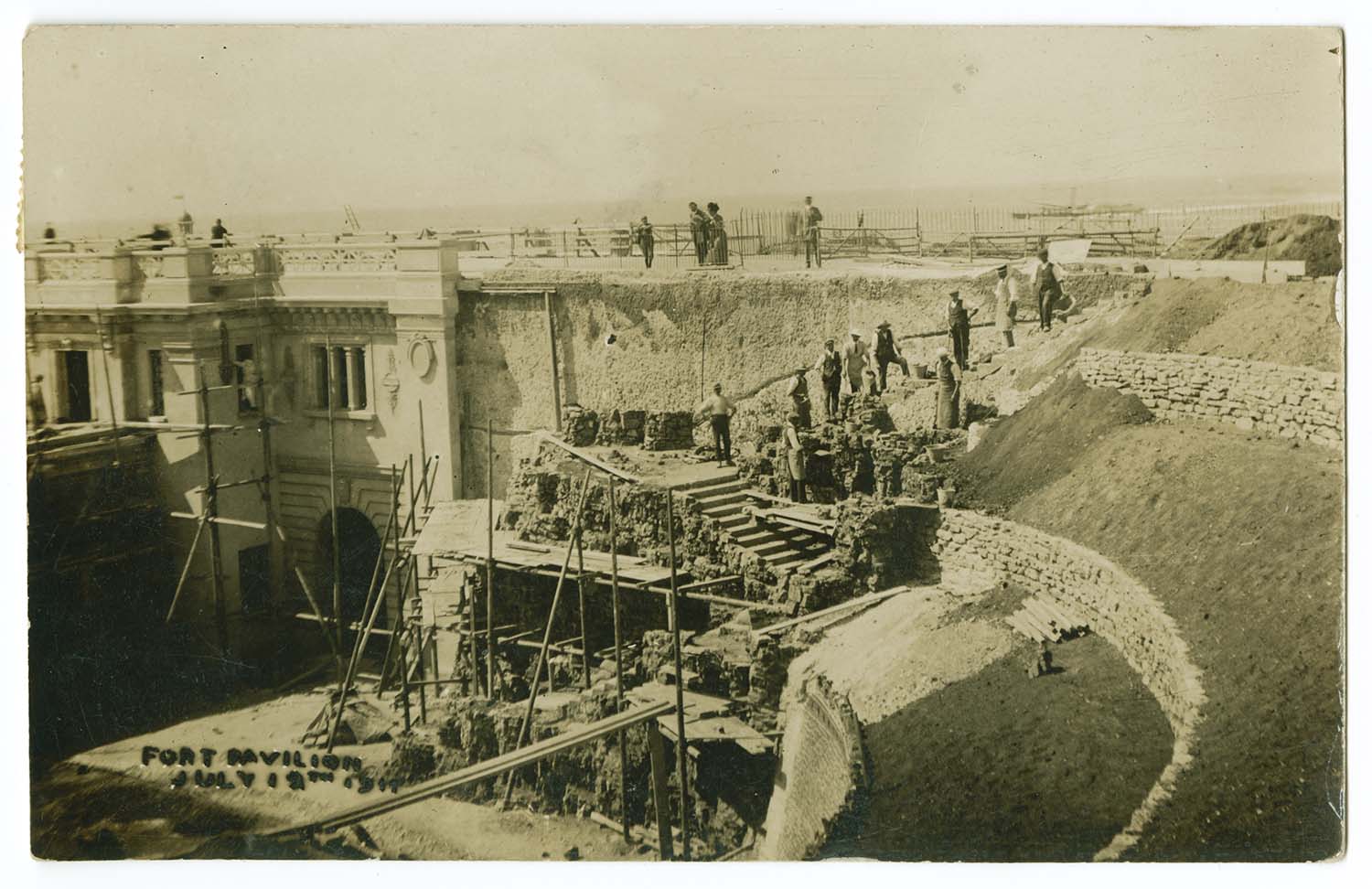
|||
|
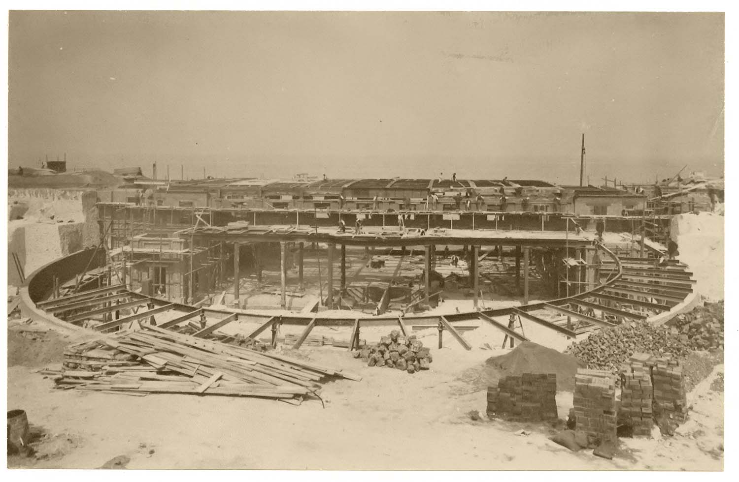
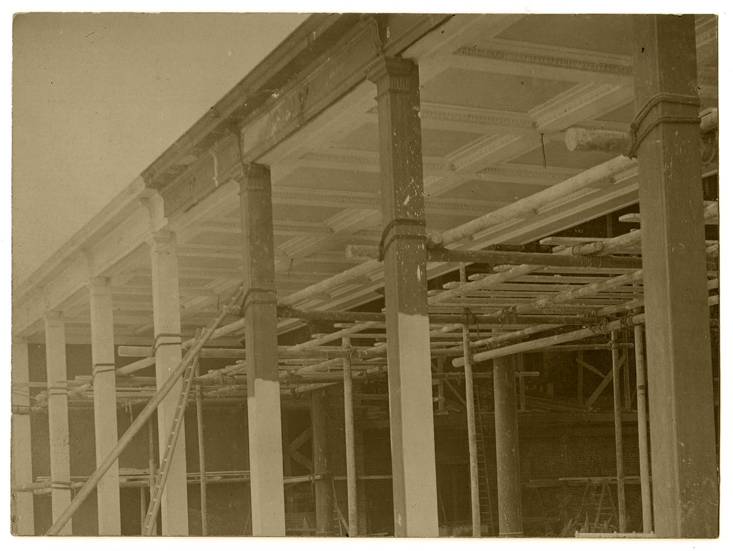
Building the Winter Gardens [Twyman collection] |
|||
 |
 |
 |
 |
|
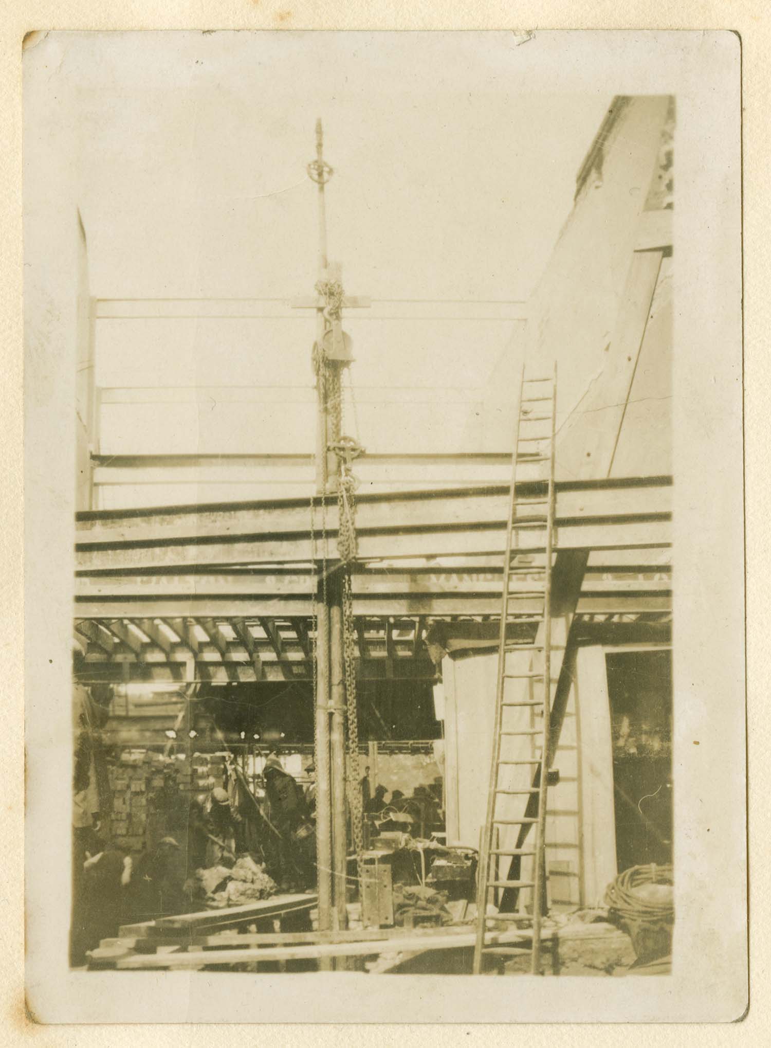
View from promenade showing ceiling of Concert Hall |
Looking from the land. Bandstand position shown in the centre |
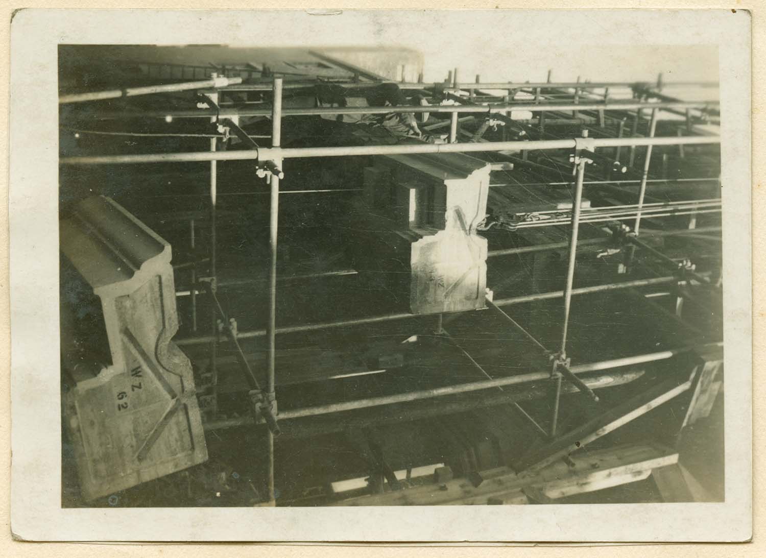
Side view of 10 ton girders |
View from land. Girders in position. |
 |
 |
 |
 |
|
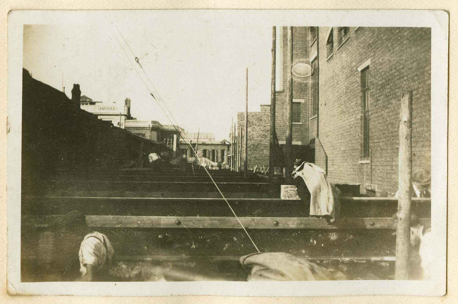
View from land before top girders put in place |
1911 |
Some of the finished work June 22nd 1911 |
July 17 1911 |
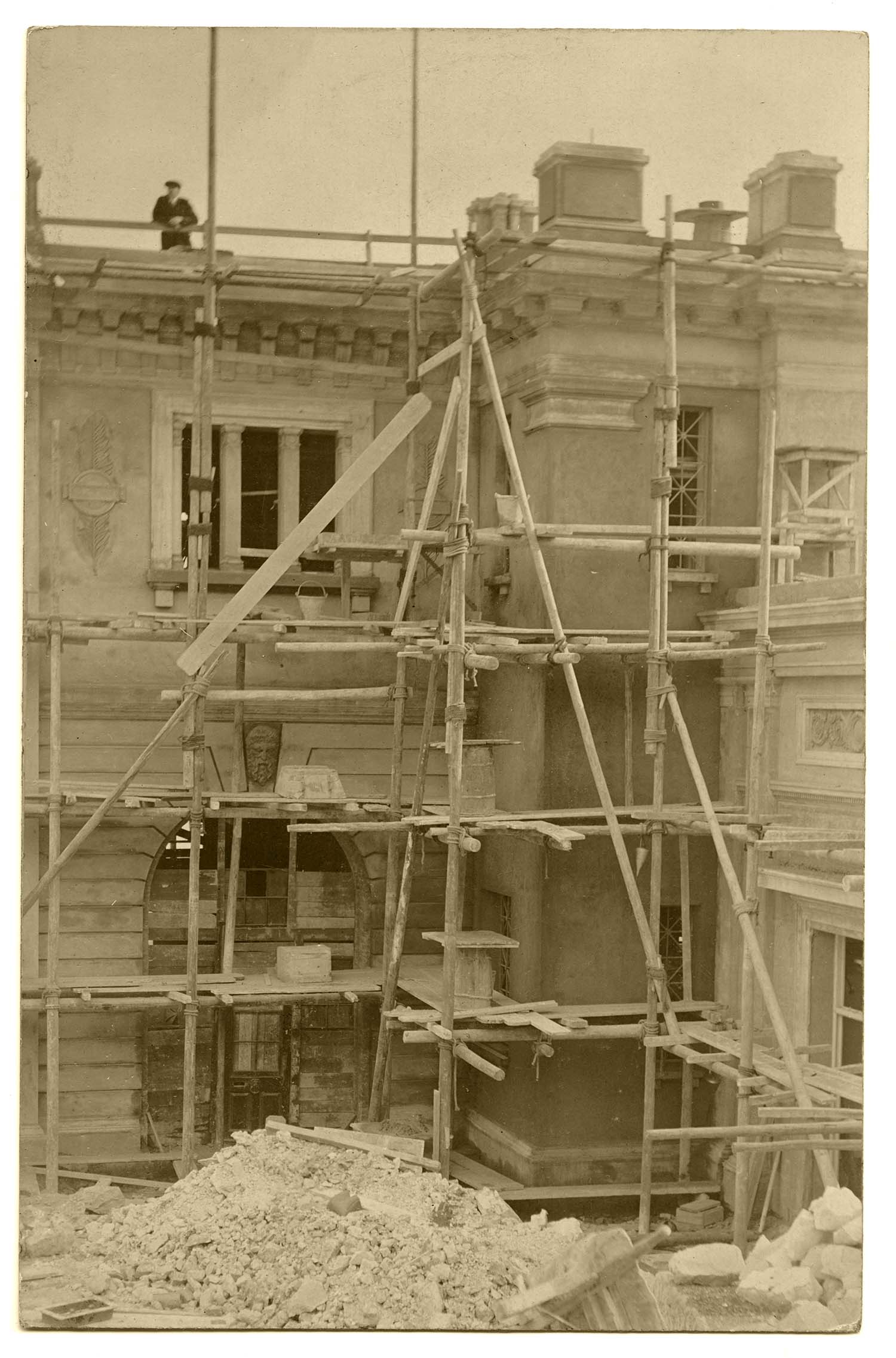
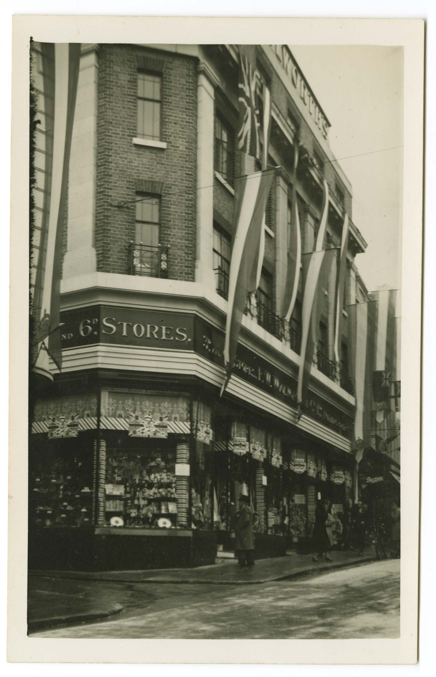
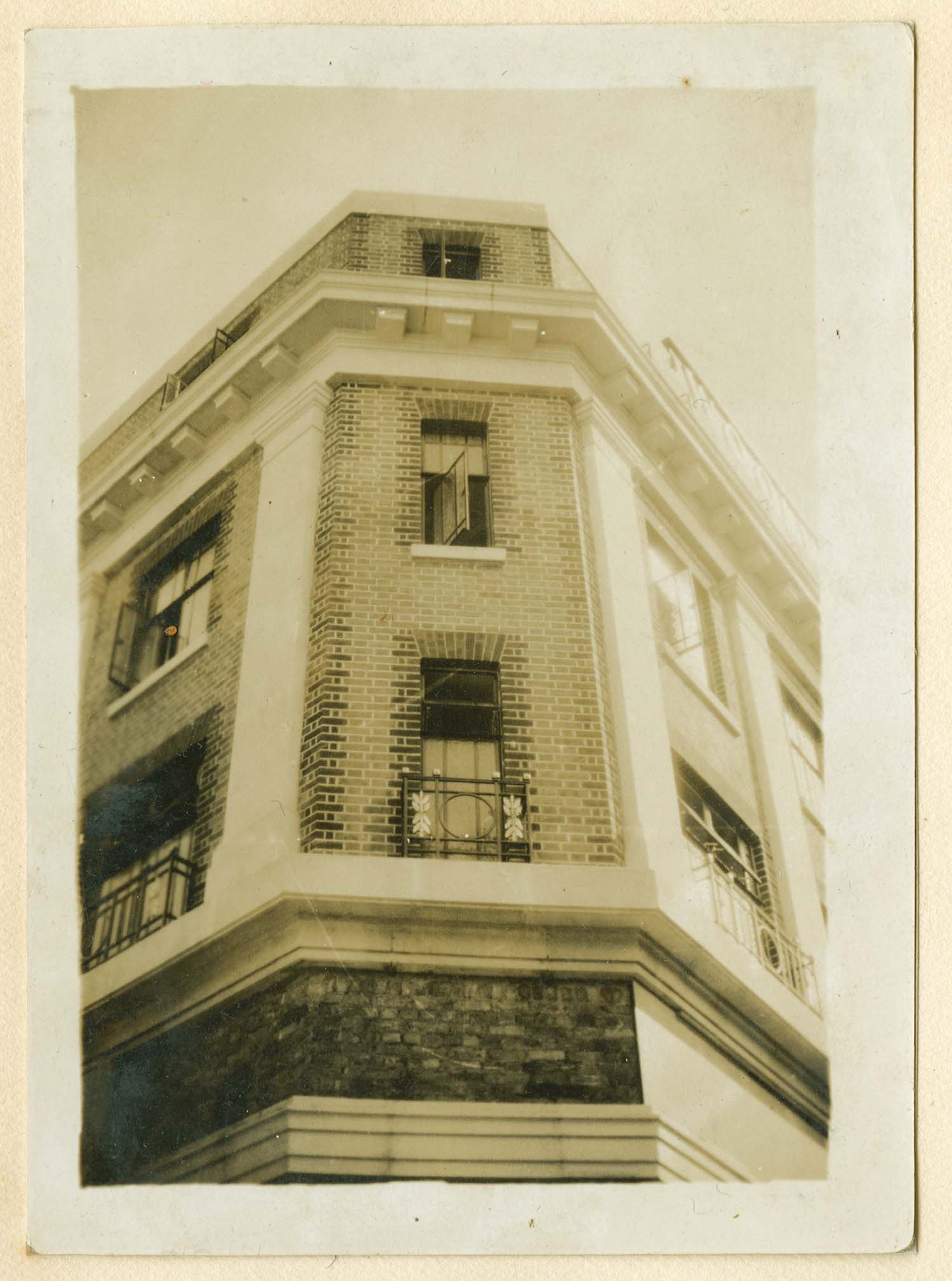
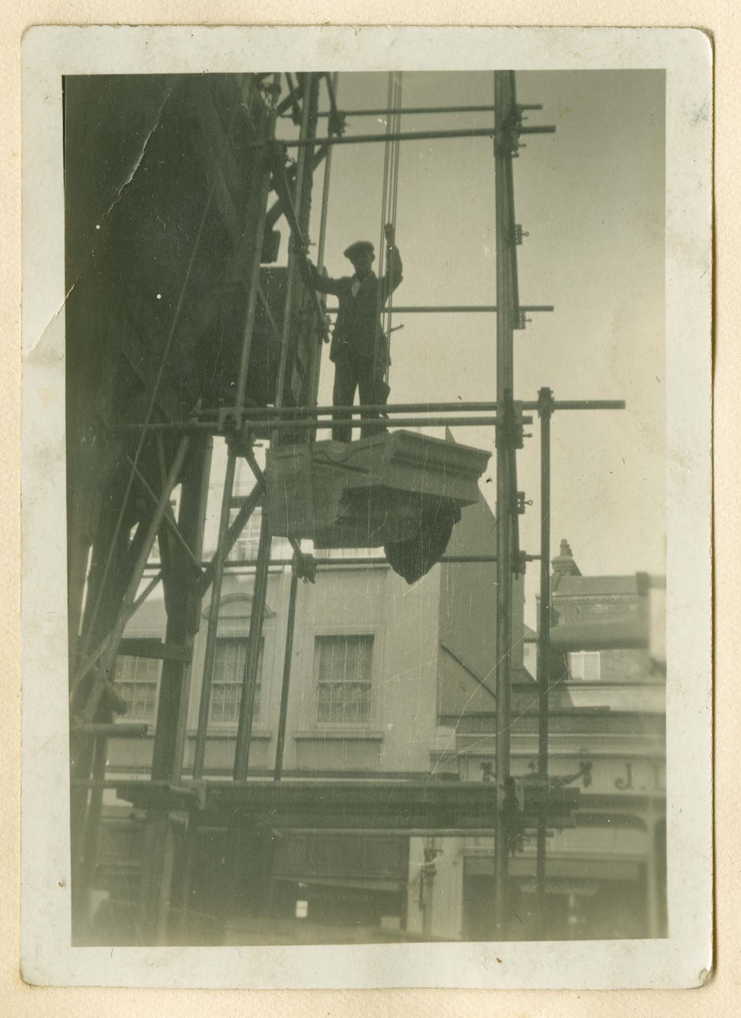
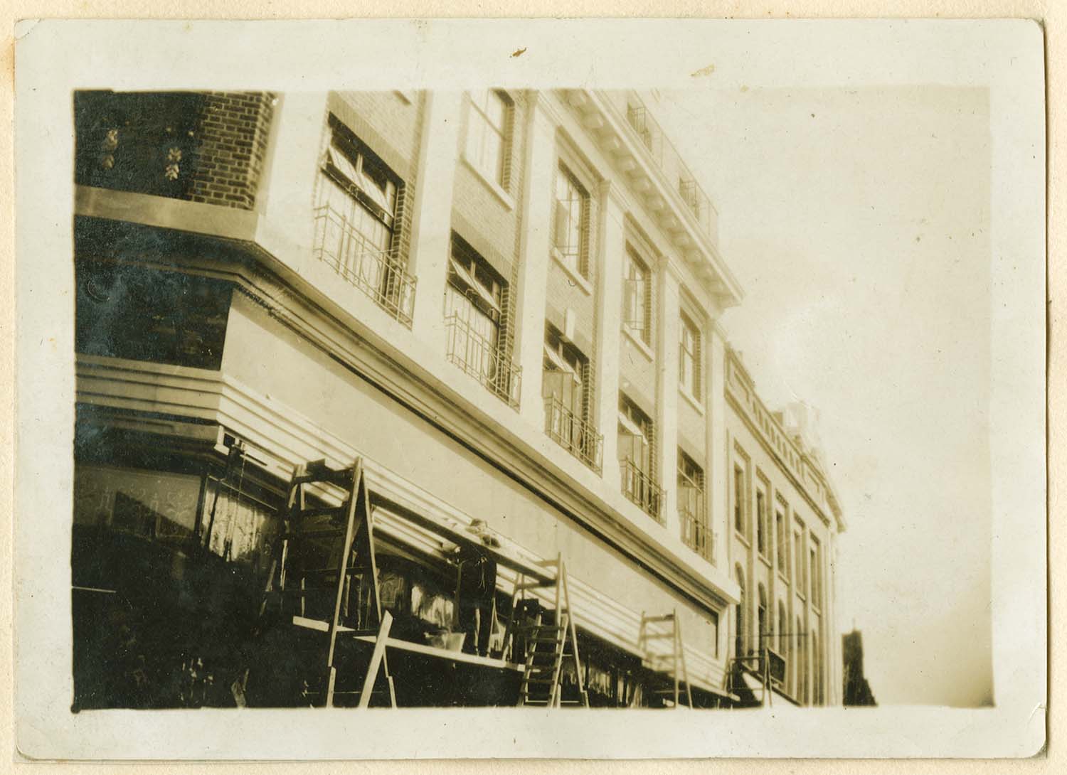
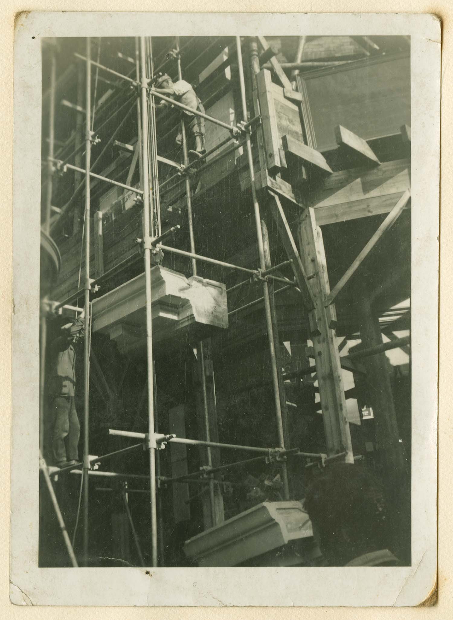
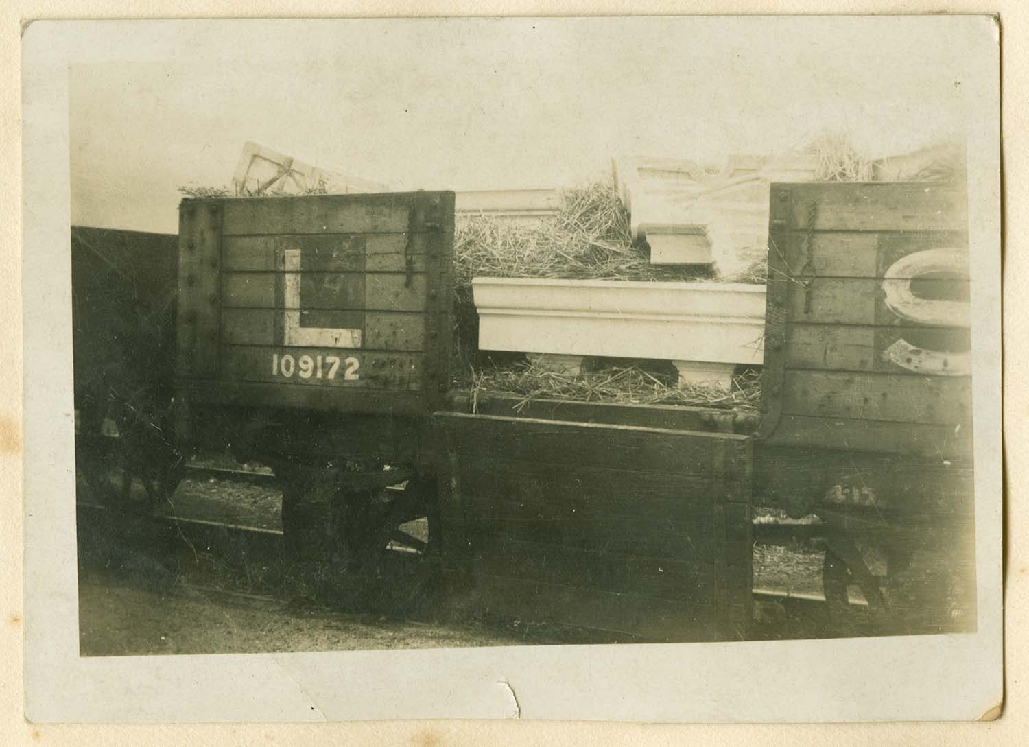
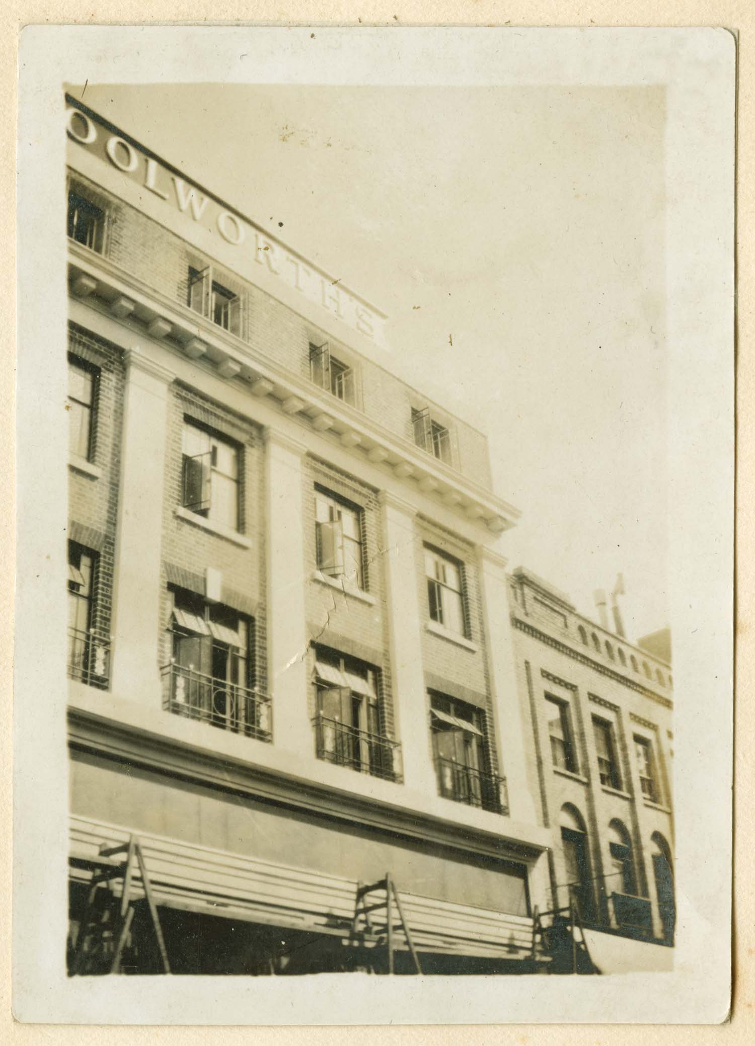
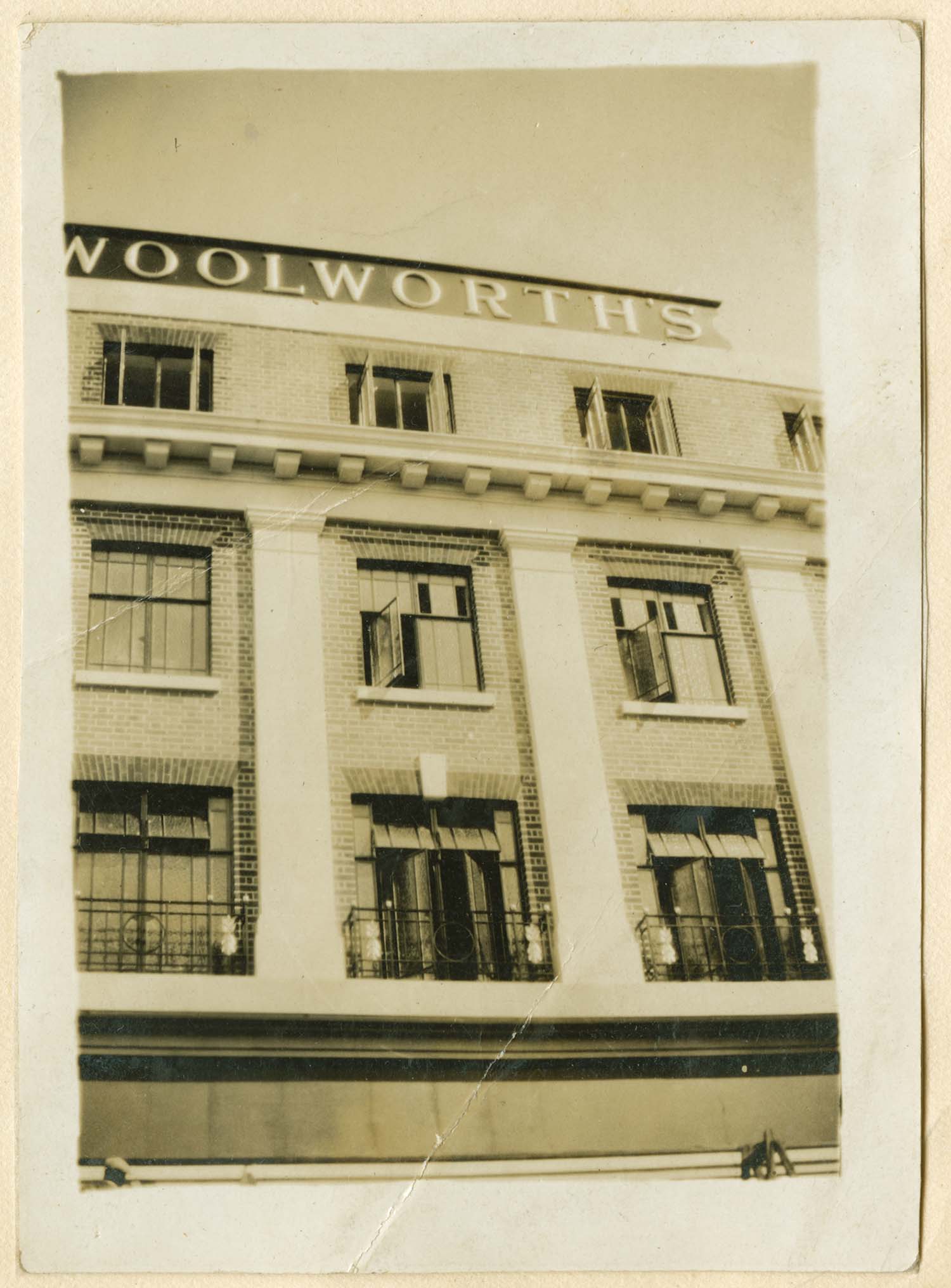
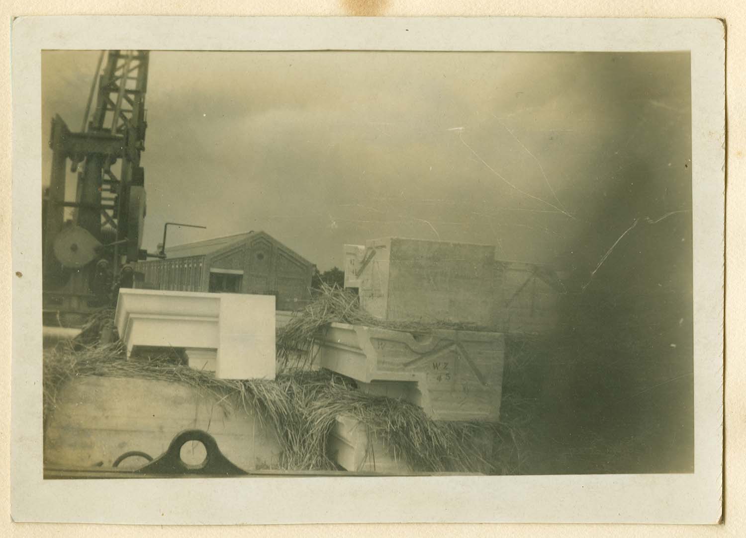
Building Woolworth's store in Margate High Street in 1930 |
|||
 |
 |
 |
 |
 |
 |
 |
 |
 |
 |
 |
 |
 |
 |
 |
 |
 |
|||
|
June 10 2012 |
|||
Postcards added to the 1907 Ordnance Survey Map of Margate. |
|||
 |
 |
![Trams on Parade 1913 [LL PC] | Margate History](../Pictures/Postcards/Parade/Parade Trams LL 1913.jpg) |
 |
|
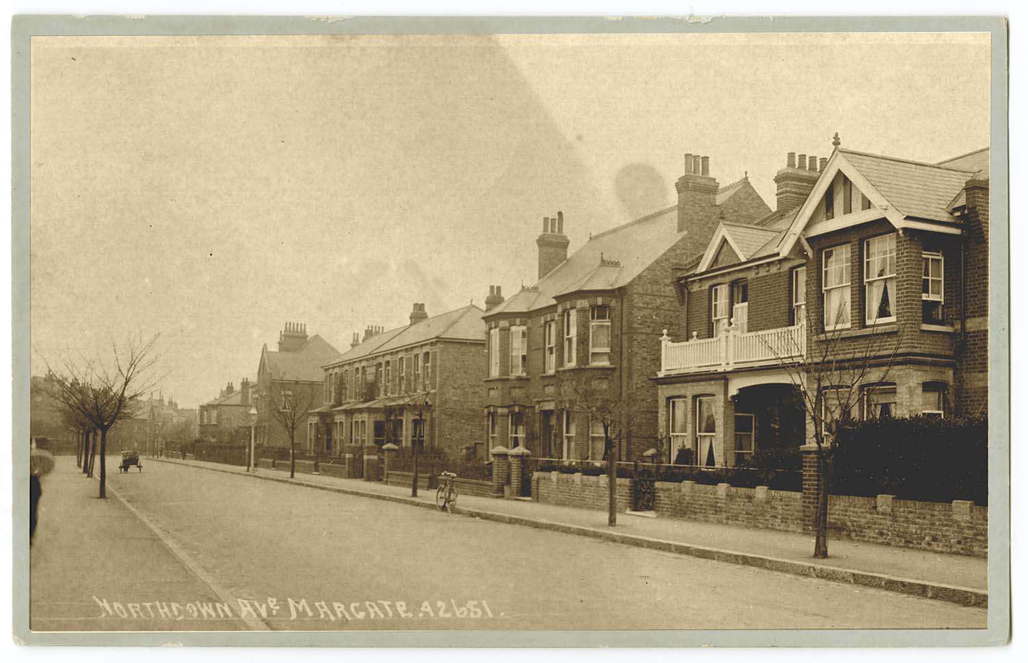
Northdown Avenue |
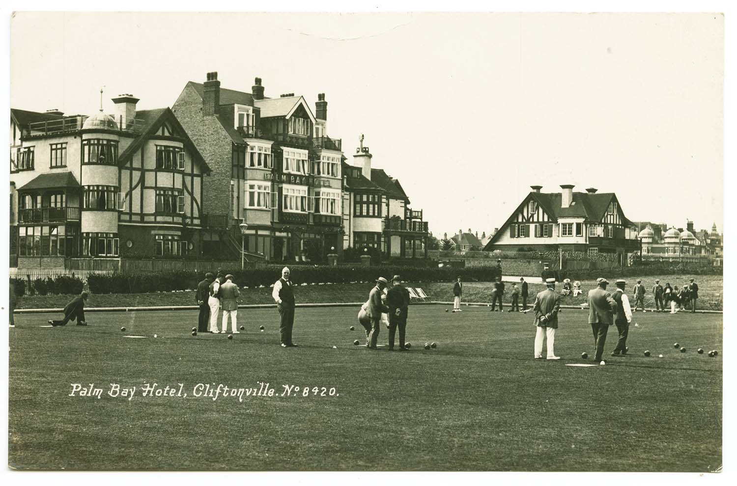
Palm Bay Avenue/Palm Bay Hotel |
Trams on Parade 1913 [LL PC] |
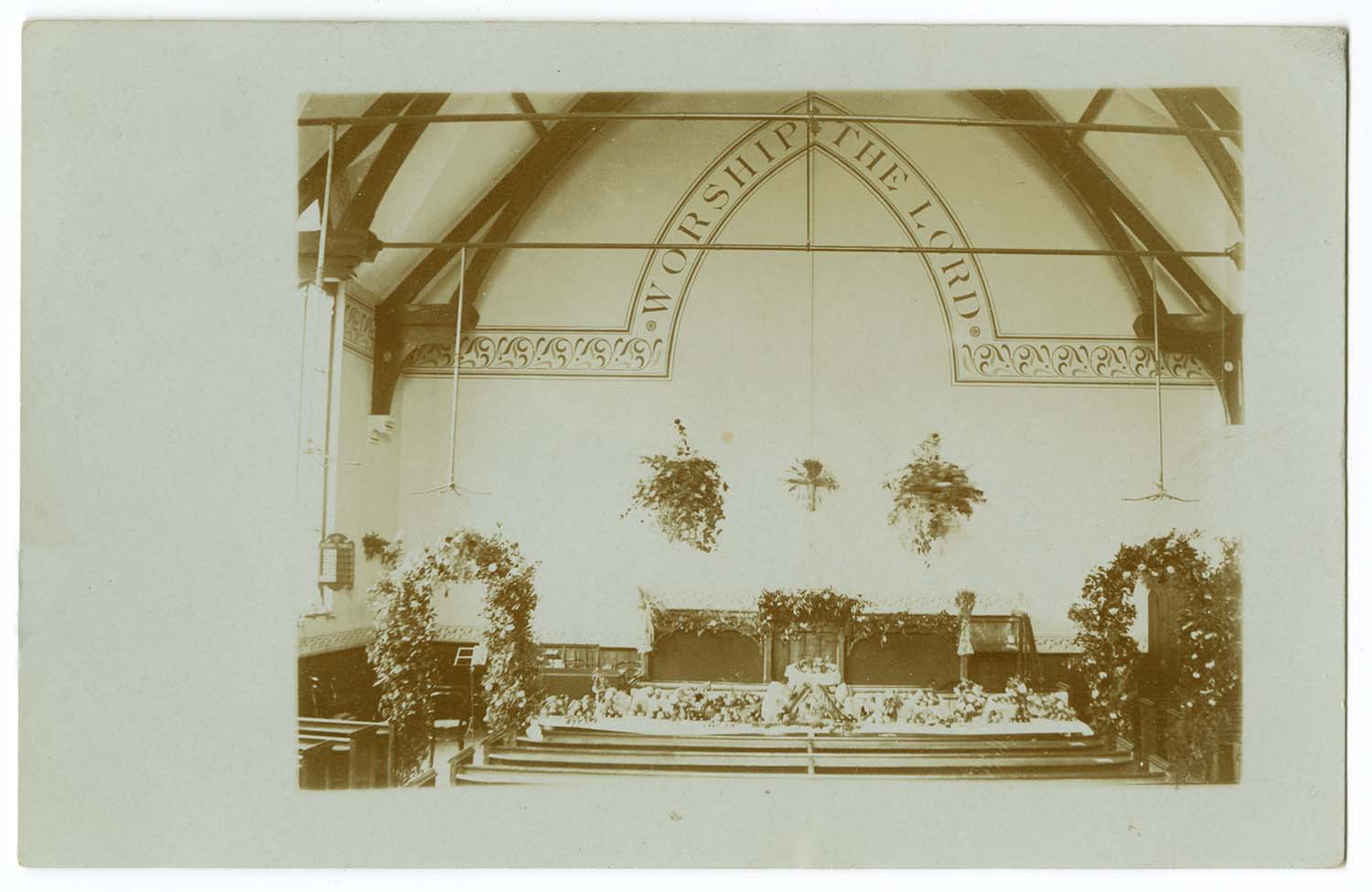
King Street/Primative Methodist Chapel |
 |
 |
 |
 |
|
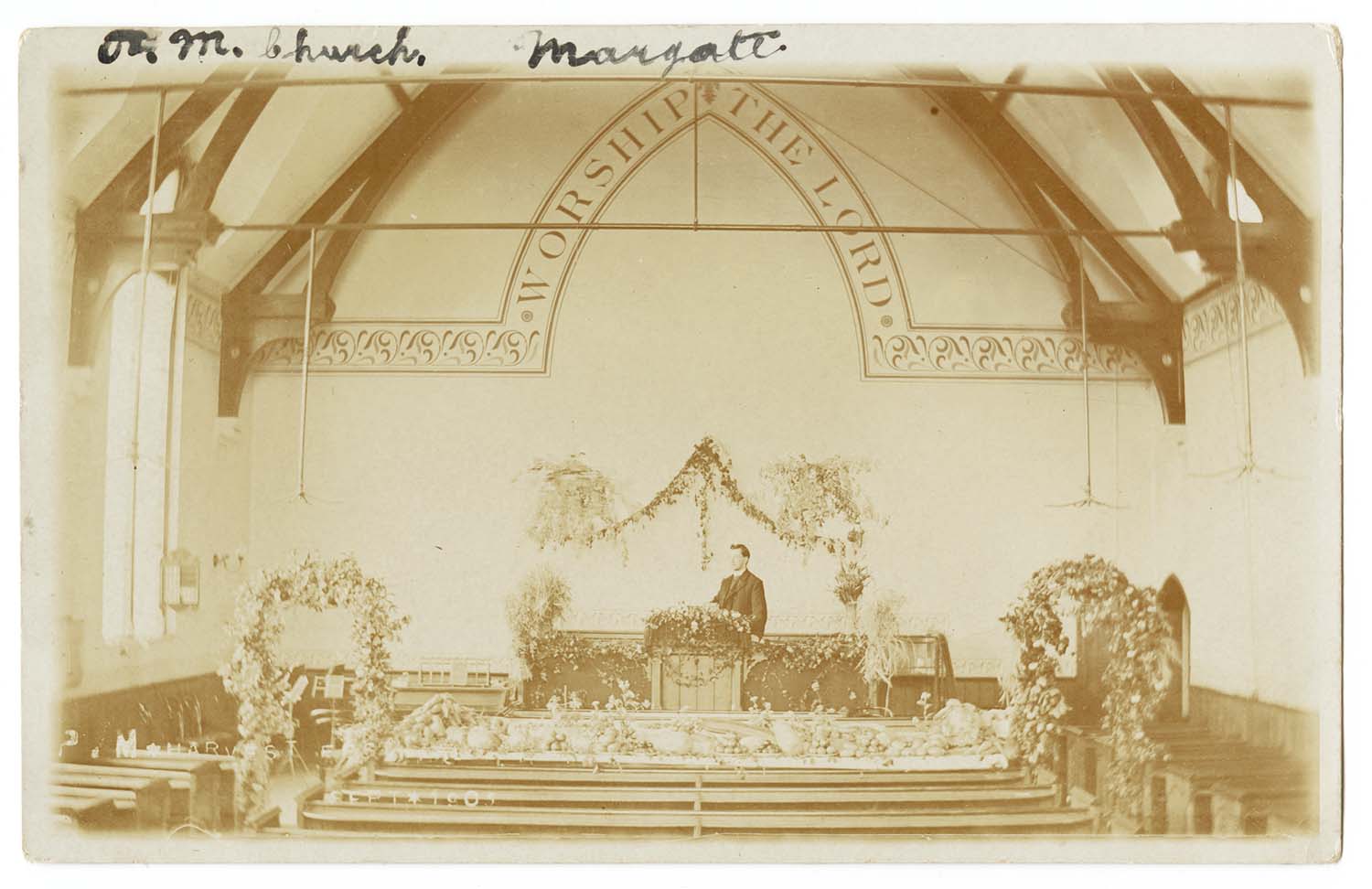
Primative Methodist Harvest Festival 1908 |
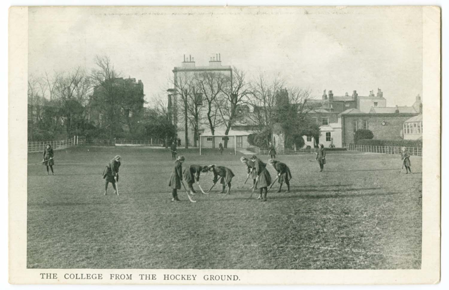
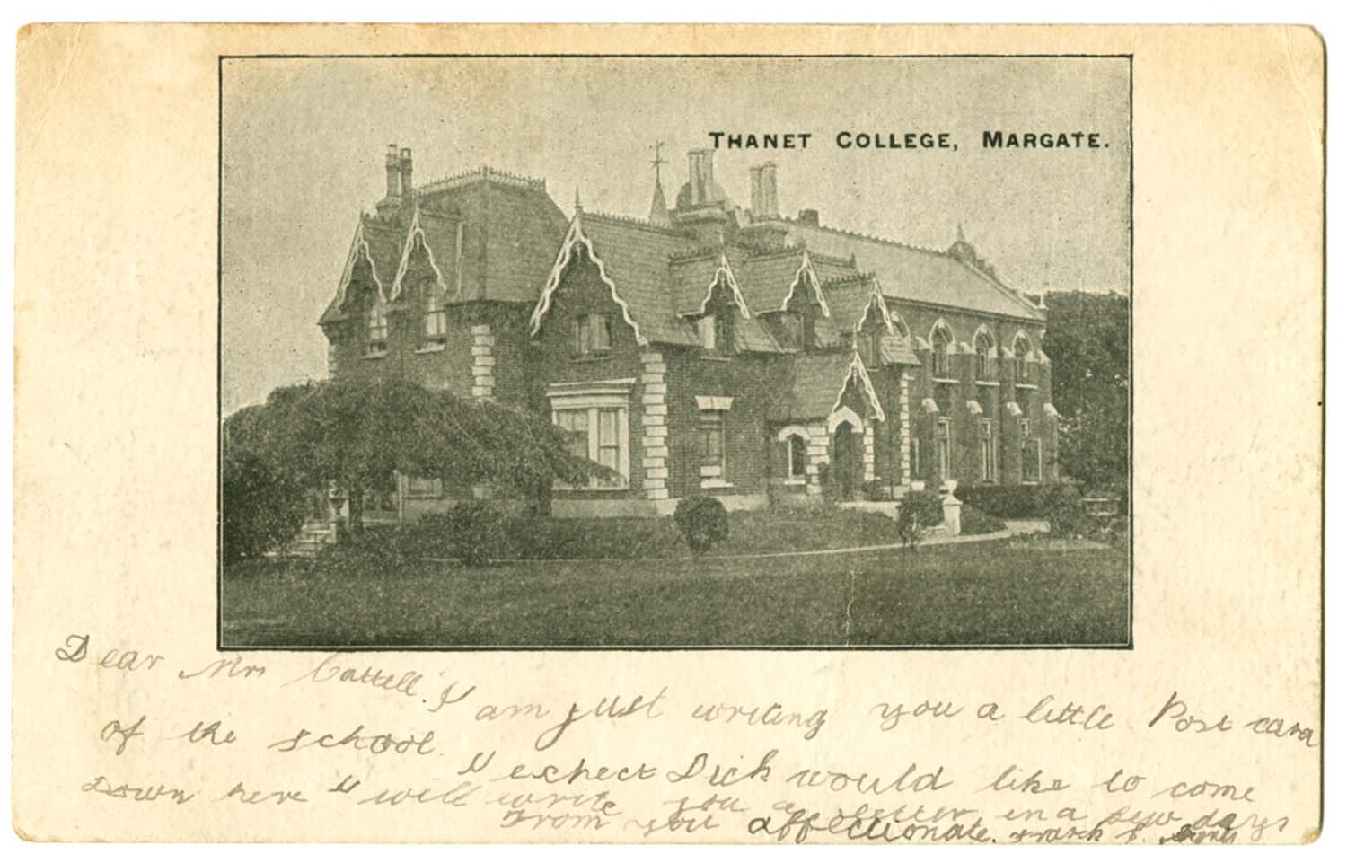
St Peters Footpath/Thanet College 1903 |
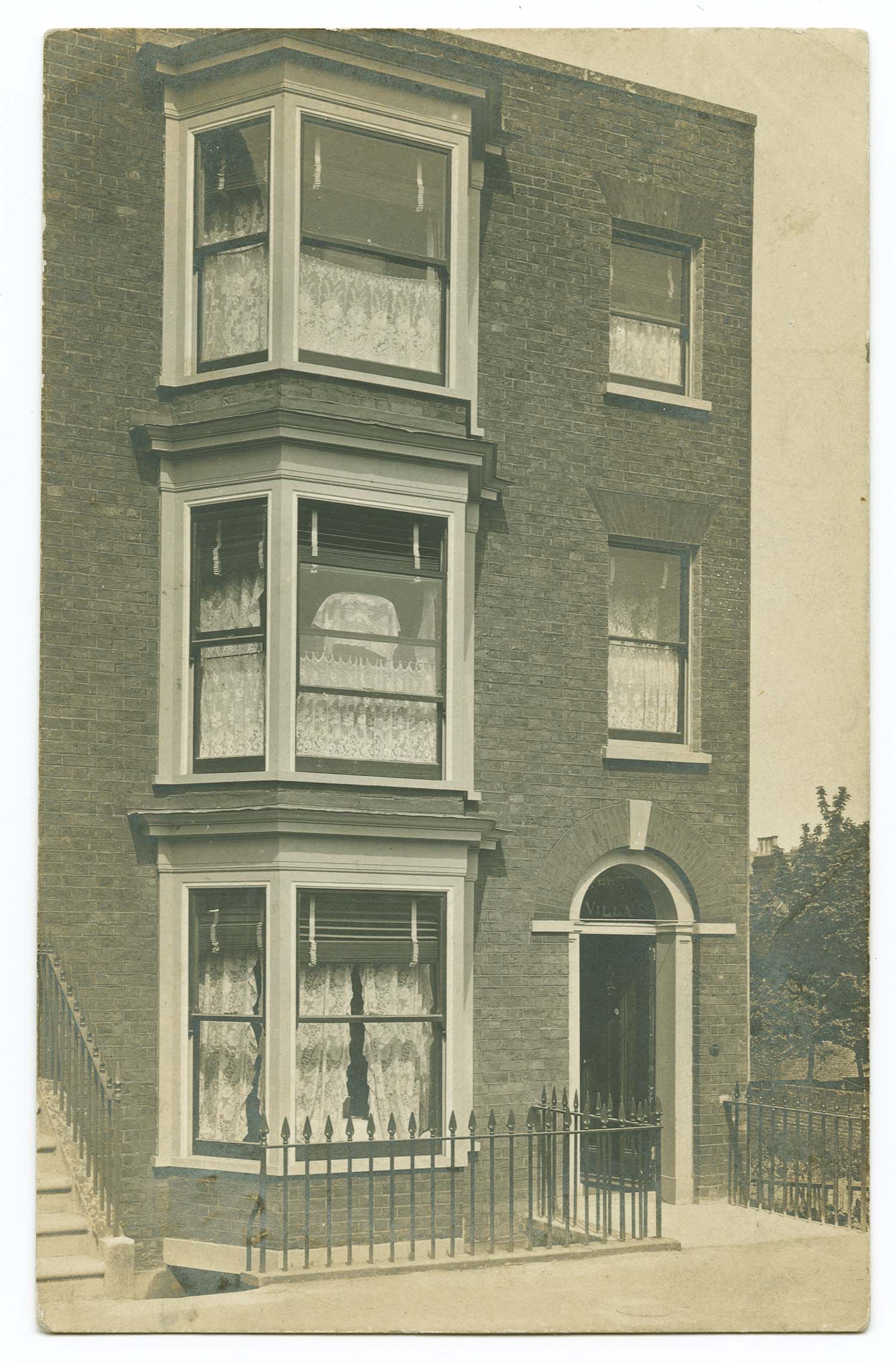
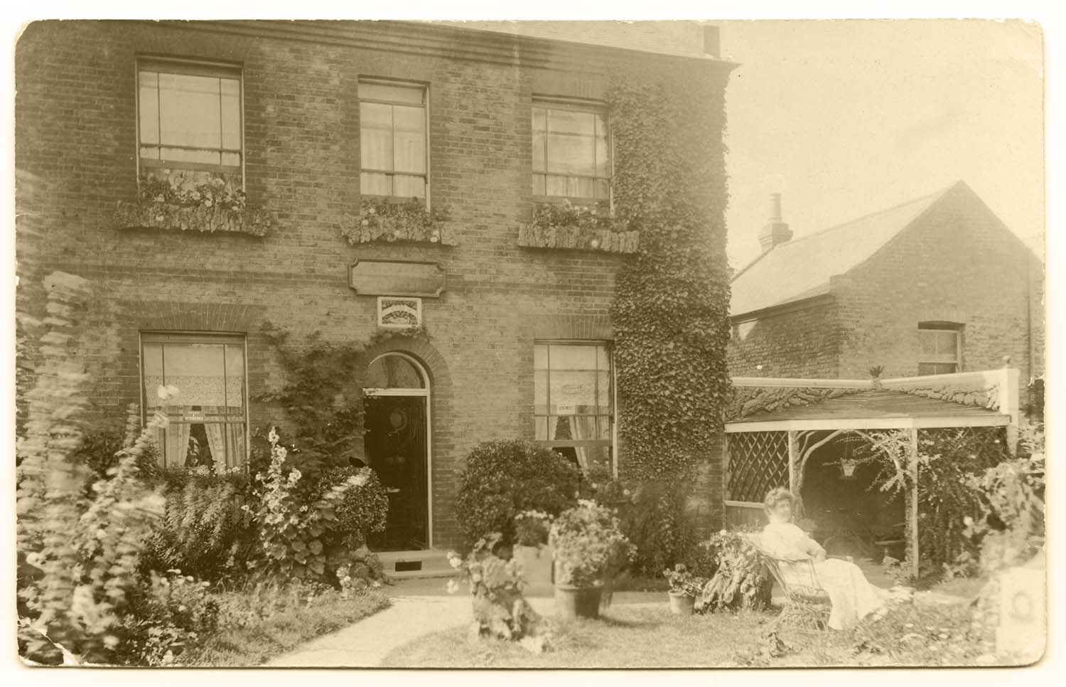
St Peters Road/Catherine Villa 1914 |
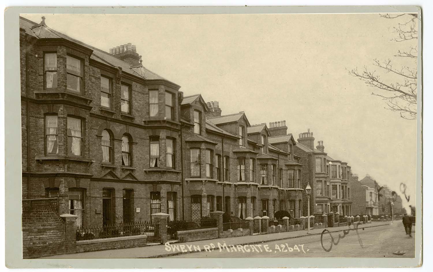
Sweyn Road 1909 |
 |
 |
 |
 |
|
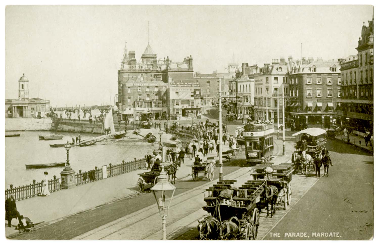
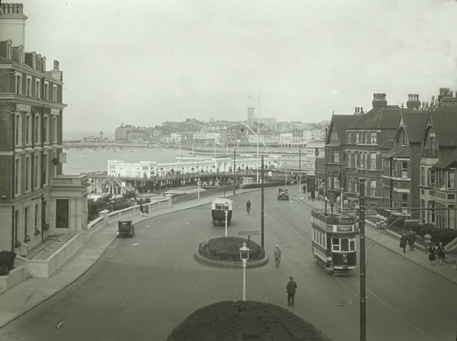
Trams on the Parade |
Trinity Church tower 1909 |
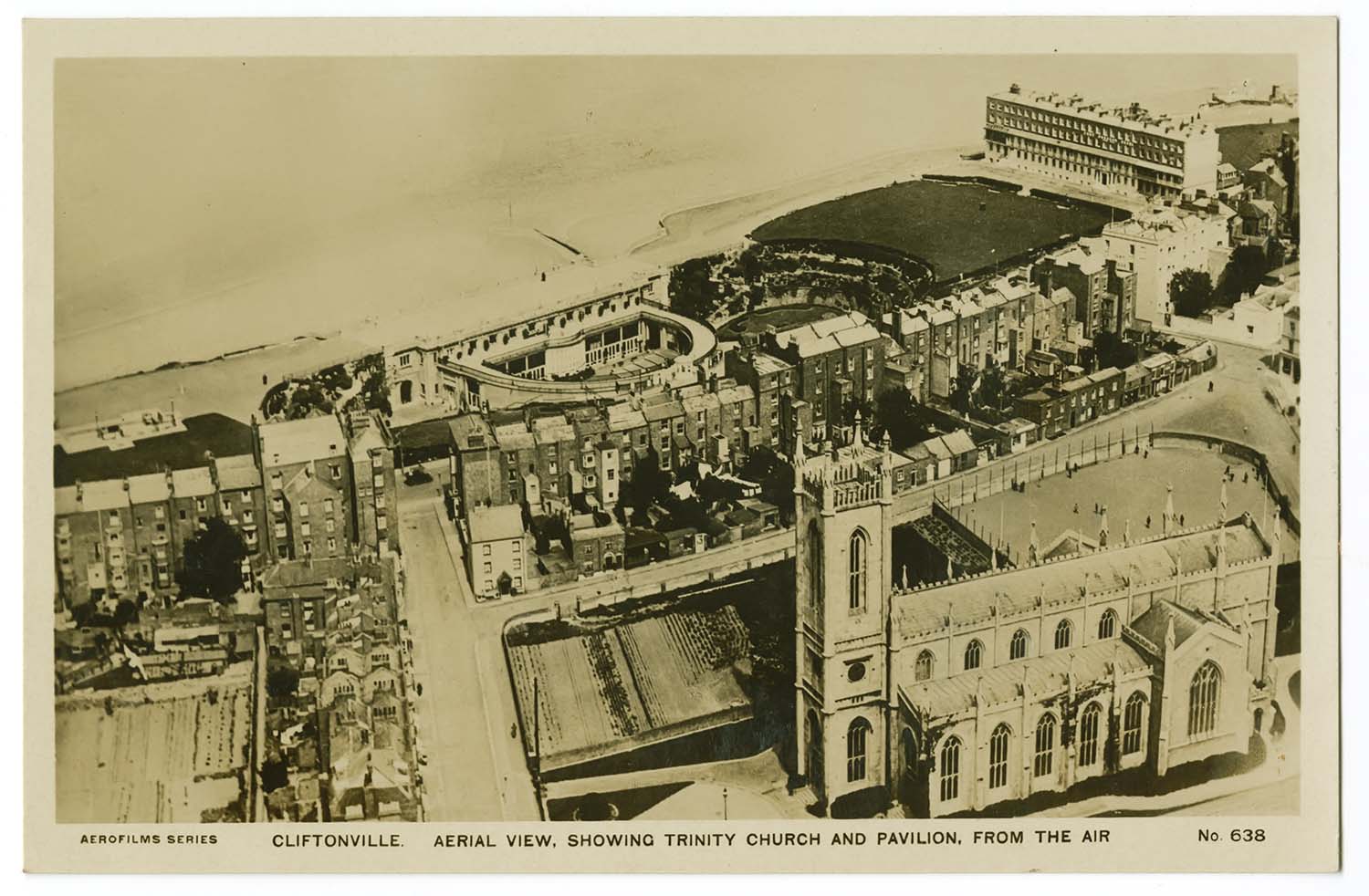
Trinity Square and Winter Gardens aerial view |
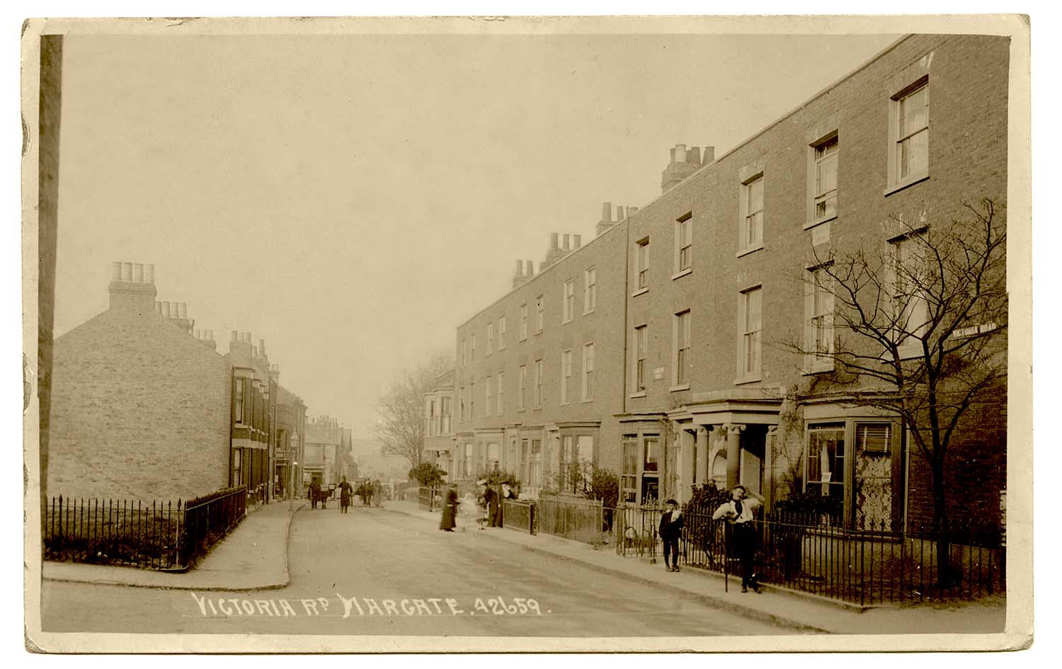
Victoria Road 1907 |
 |
 |
 |
|
|
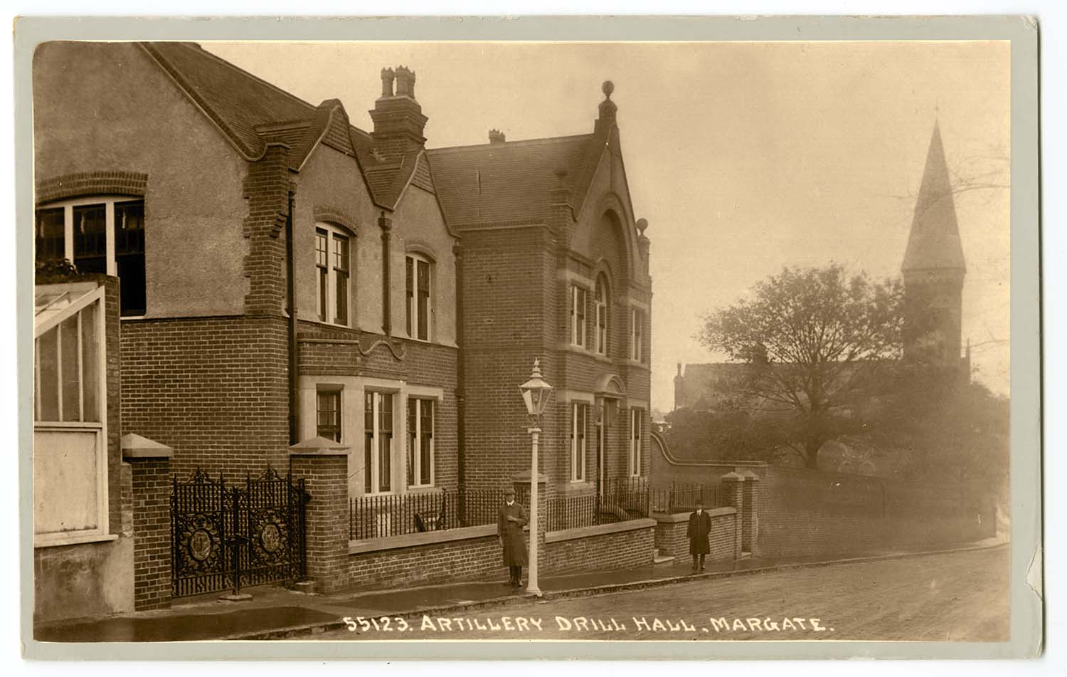
Victoria Road Artillery Drill Hall |
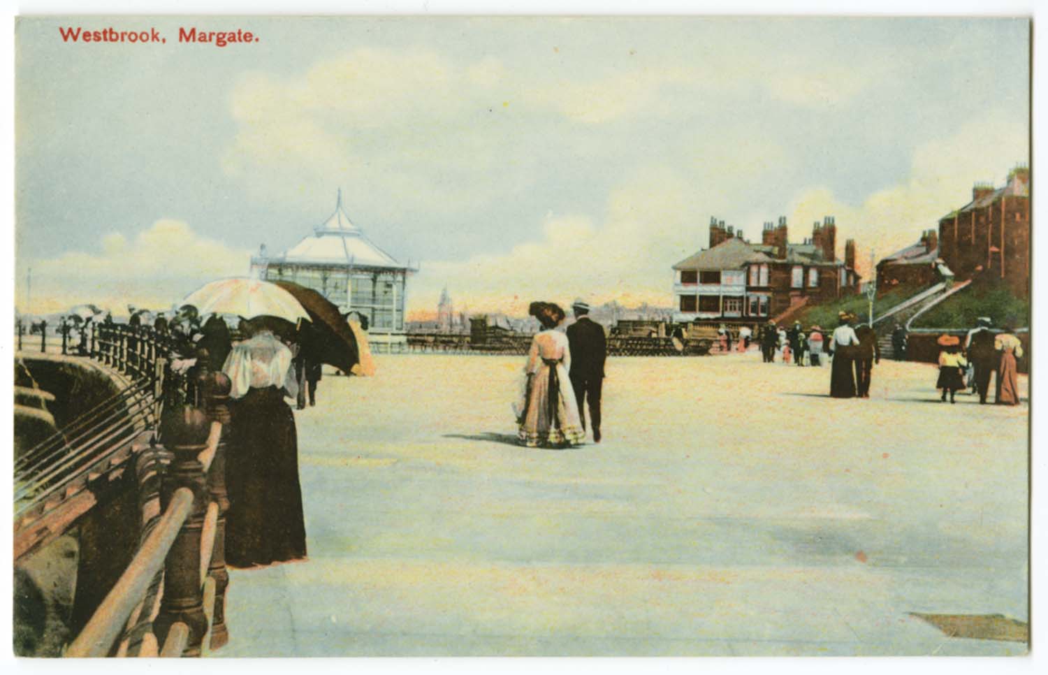
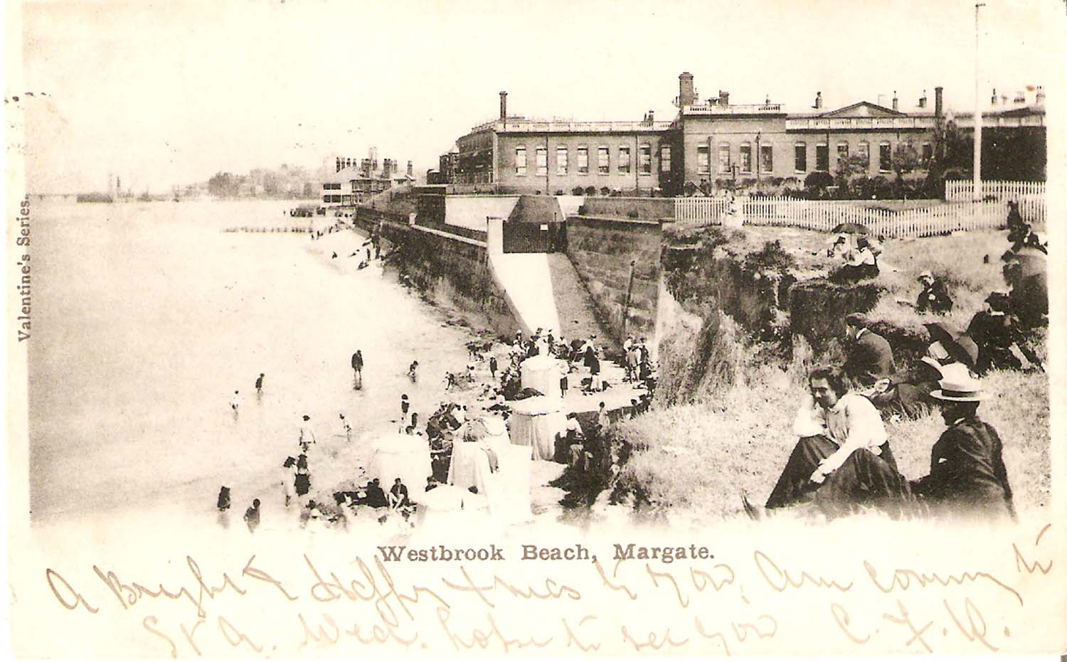
Westbrook Promenade Sands |
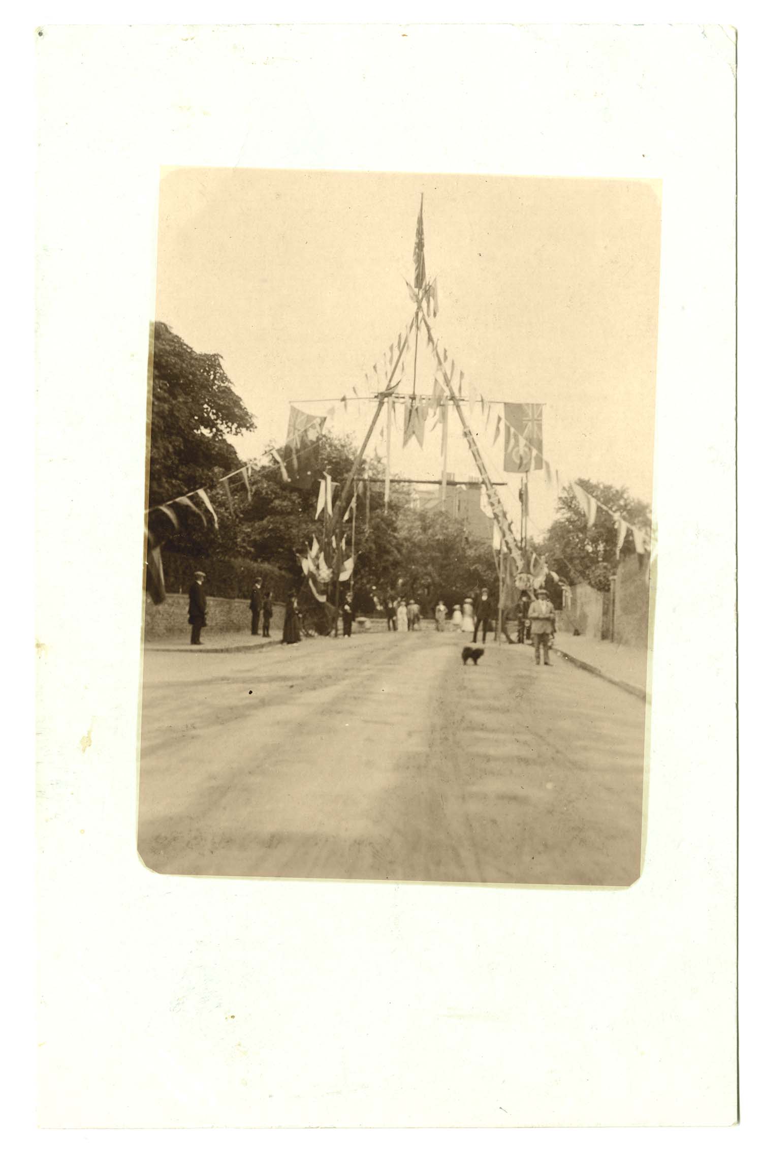
Wildnerness Hill celebratory arch 1913 [Twyman collection] |
Building the Winter Gardens 1911 [Twyman Collection] |
|
June 7 2012 |
|||
Margate Jetty Demolition |
|||
Another photograph from Tony Ovenden, for which many thanks. |
|||
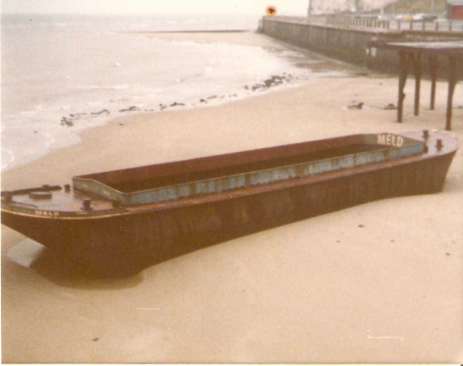
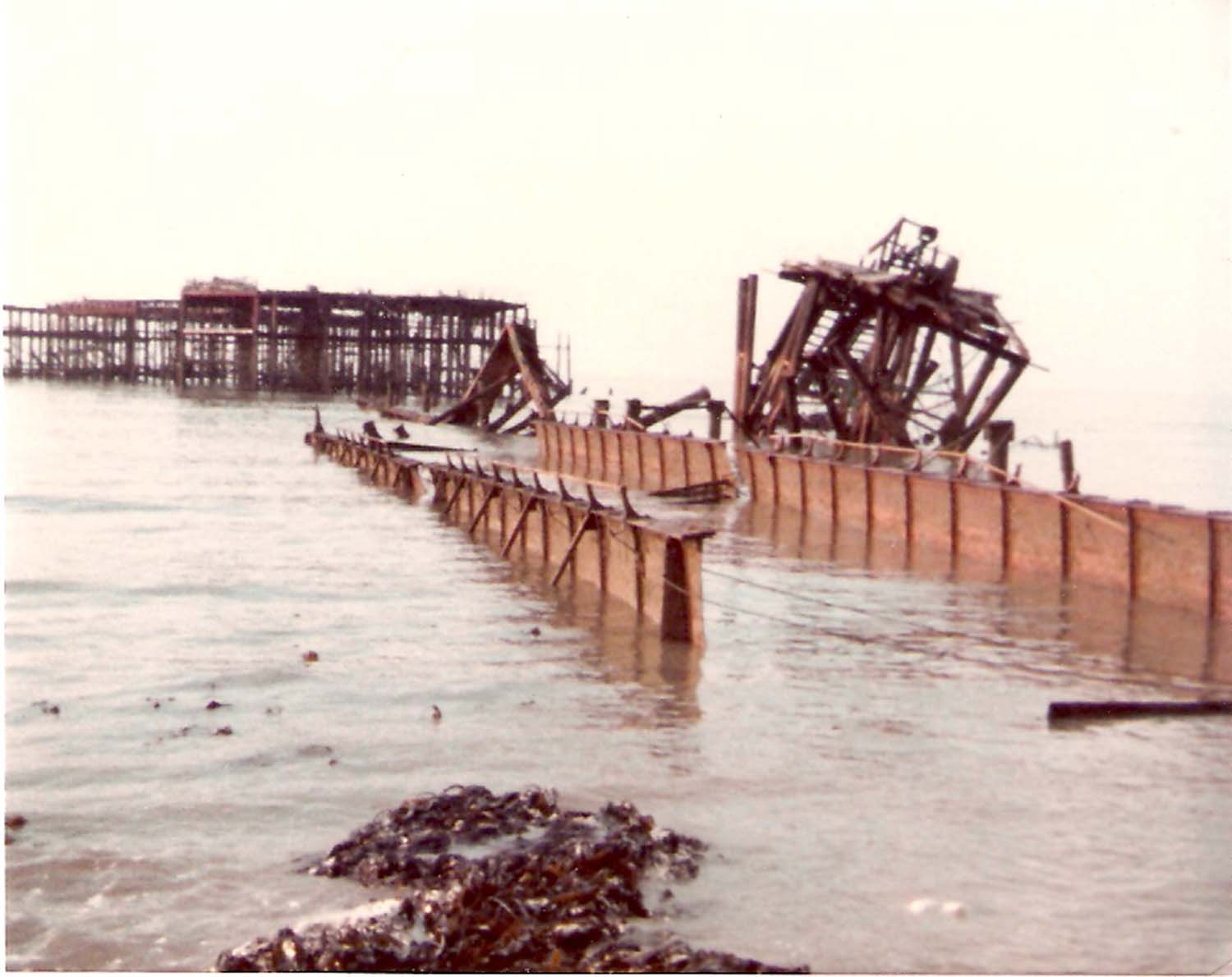
Following the attempt by the Liverpool Salvage and Demolition Company to demolish the lifeboat house and slipway, the demolition contract was awarded to Brown and Mason. All was going well until a North Easterly storm blew up one night when unfortunately the crane barge and lighter was tied up on the east side of the Jetty. The crane barge sank in the storm and the lighter ended up ashore. To prevent the lighter from damaging the stone pier a hole was deliberately cut in the side of the lighter to prevent it from floating. The lighter remained in position for a few years and was finally cut up for scrap. The crane barge was removed during the 1998 demolition. [Information thanks to Tony Ovenden] |
|||
 |
|||
|
The lighter run ashore |
|||
Two photographs from Jim Greaves, also with many thanks. |
|||
 |
 |
||
|
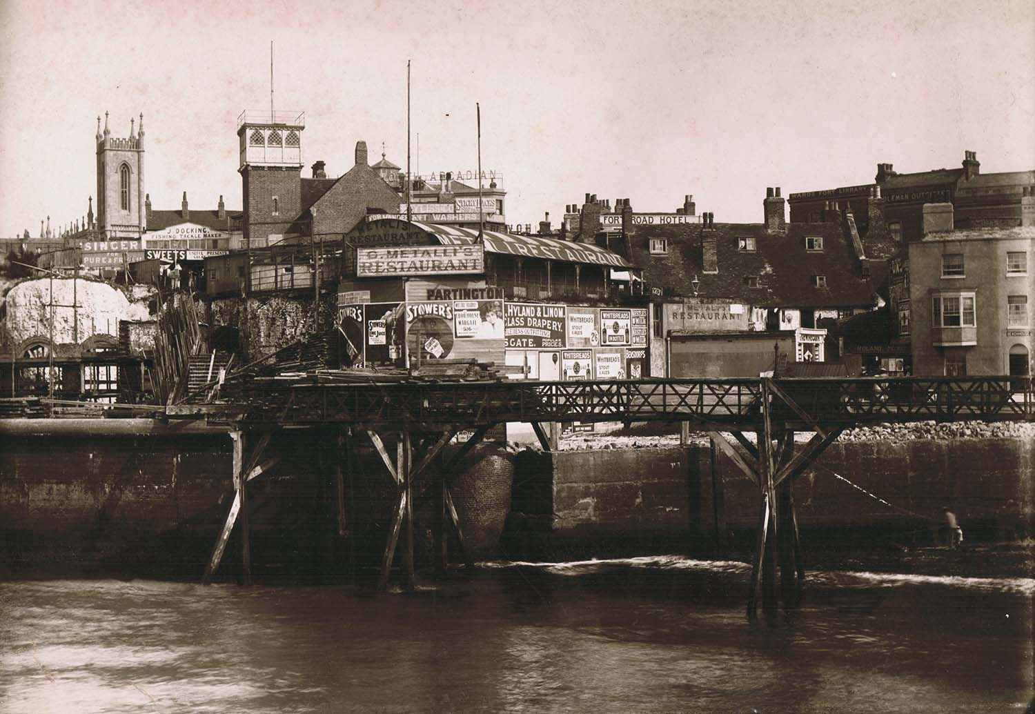
Bankside ca 1880s |
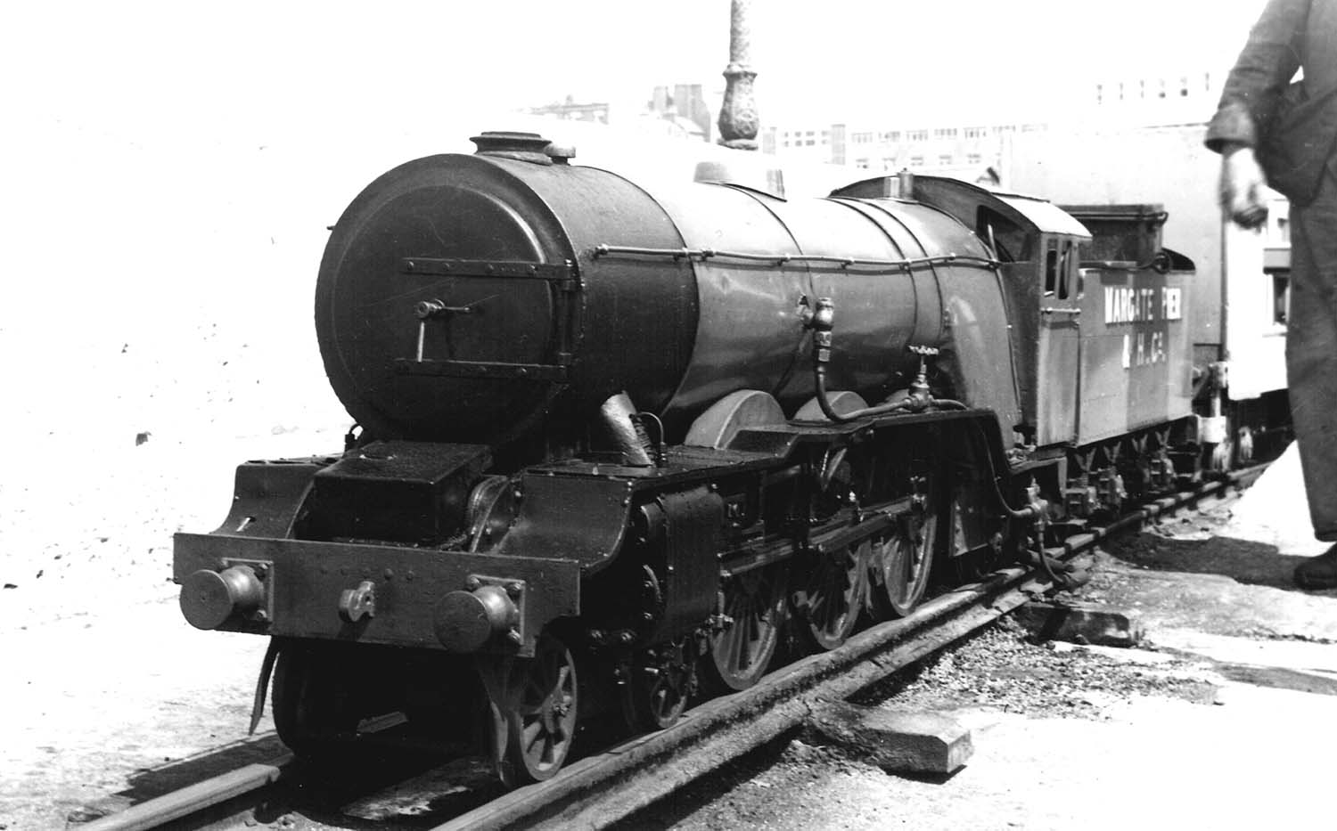
Model loco on Pier 1963 |
||
Postcards added to the 1907 Ordnance Survey Map of Margate. |
|||
 |
 |
 |
 |
|
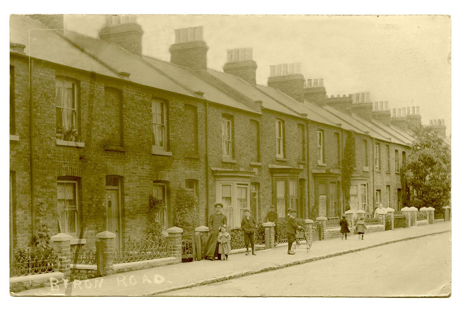
Byron Road |
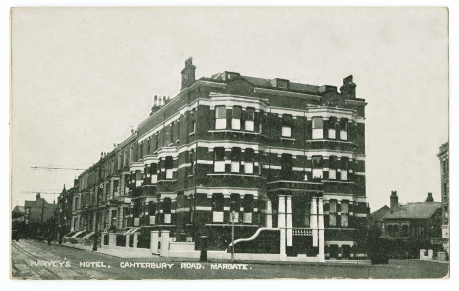
Canterbury Road Harveys Hotel |
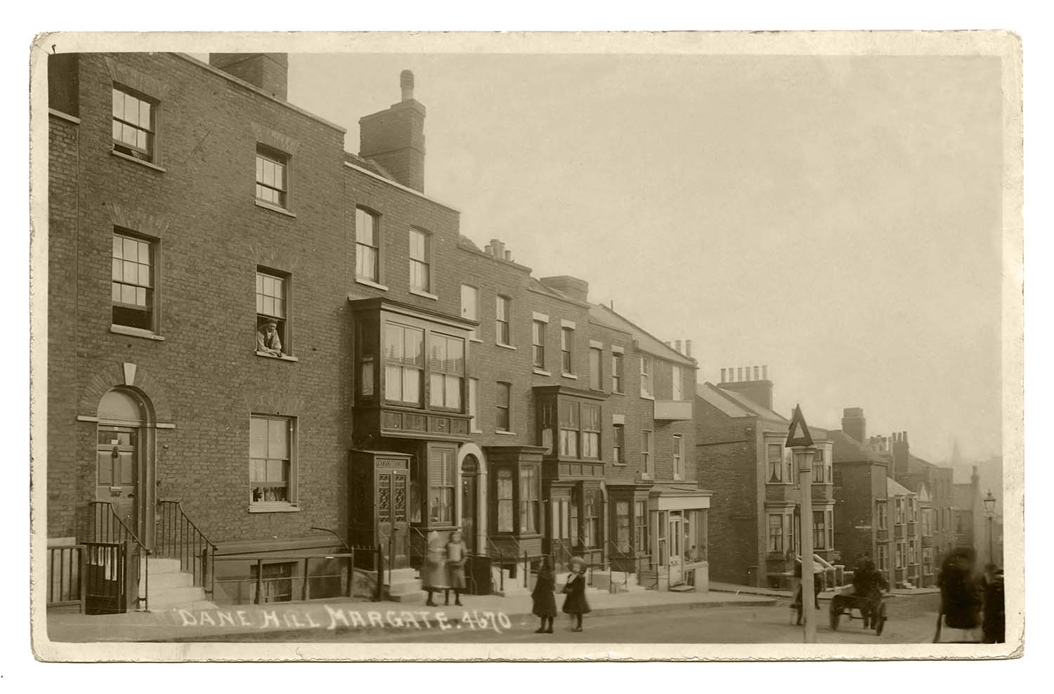
Dane Hill 1911 |
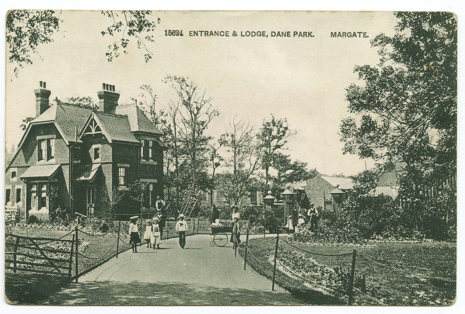
Dane Park Entrance and Lodge 1905 |
 |
 |
 |
 |
|
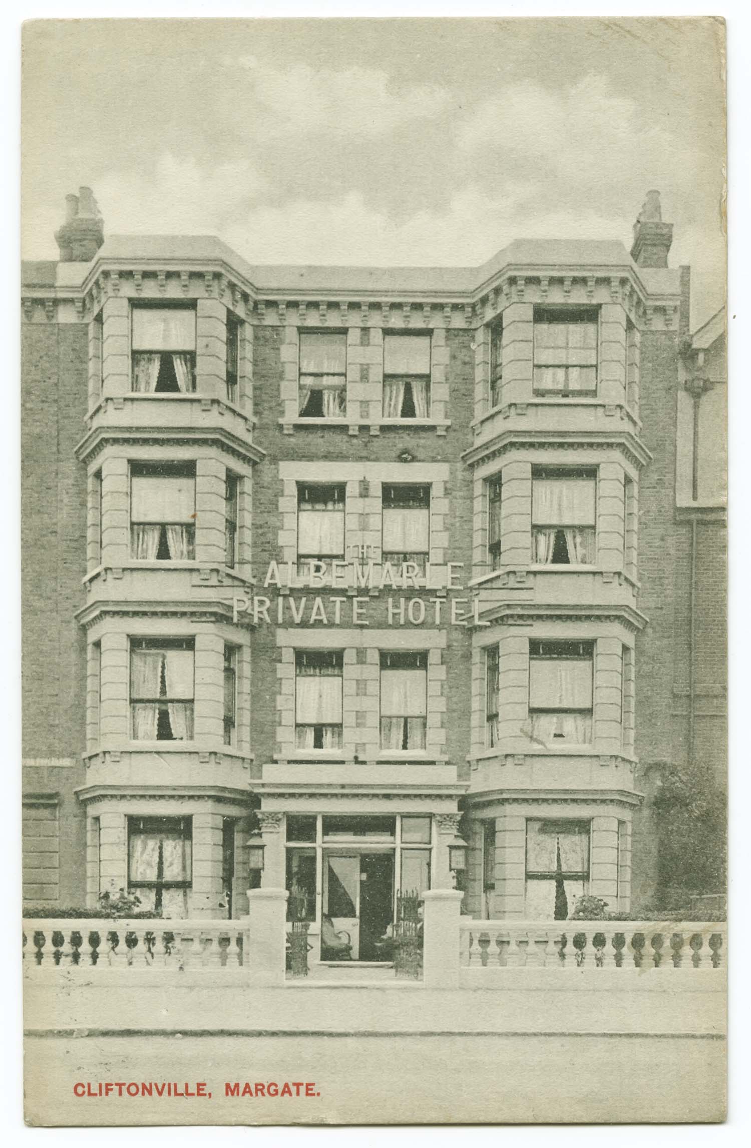
Eastern Esplanade/Albemarle |
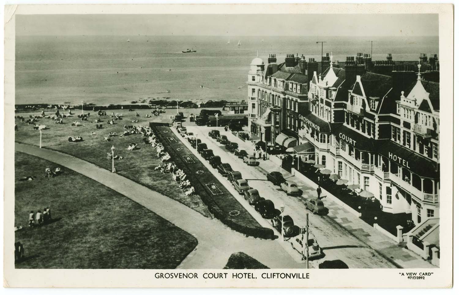
First Avenue/Grosvenor Court 1960 |
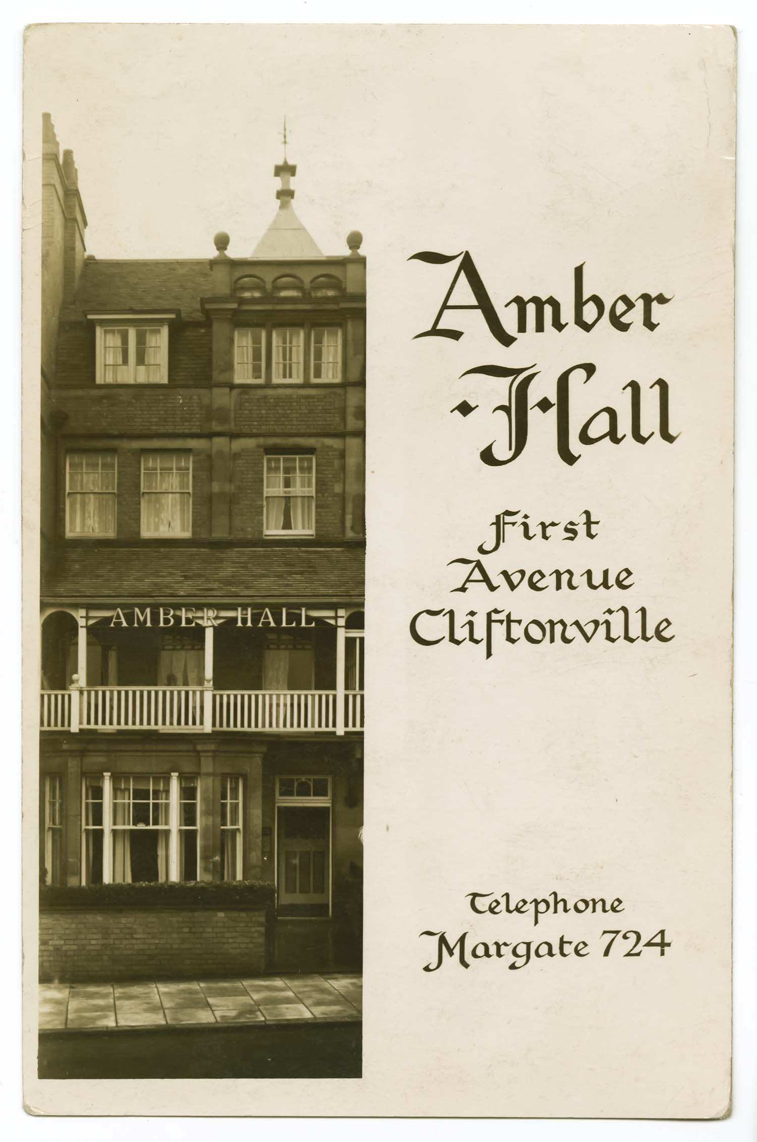
First Avenue/Amber Hall |
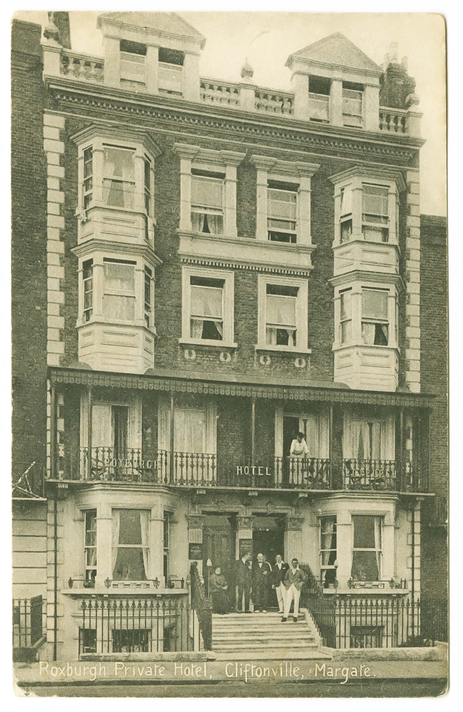
Fort Crescent/Roxburgh Hotel 1928 |
 |
 |
 |
 |
|
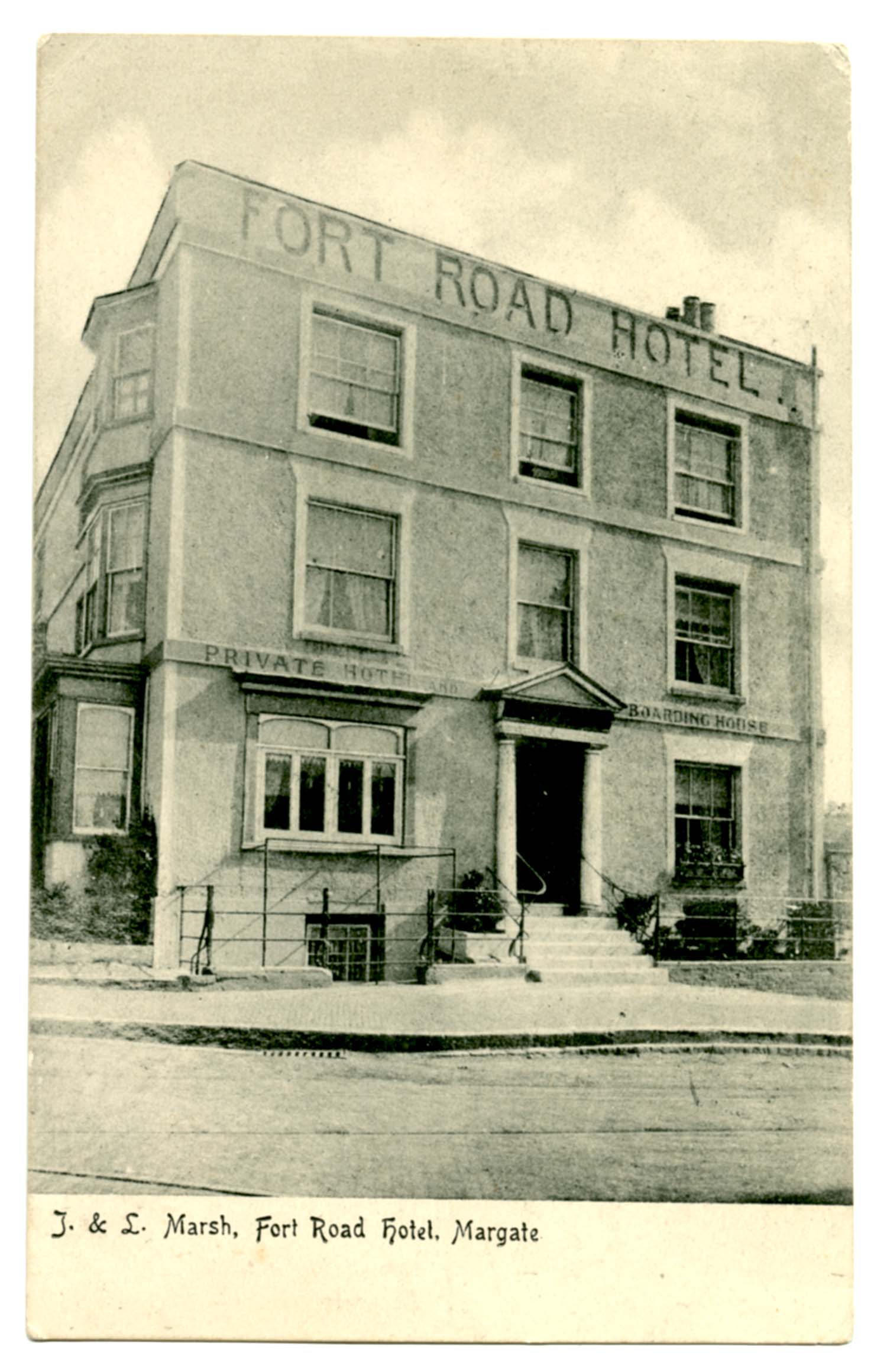
Fort Road/Fort Road Hotel 1906 |
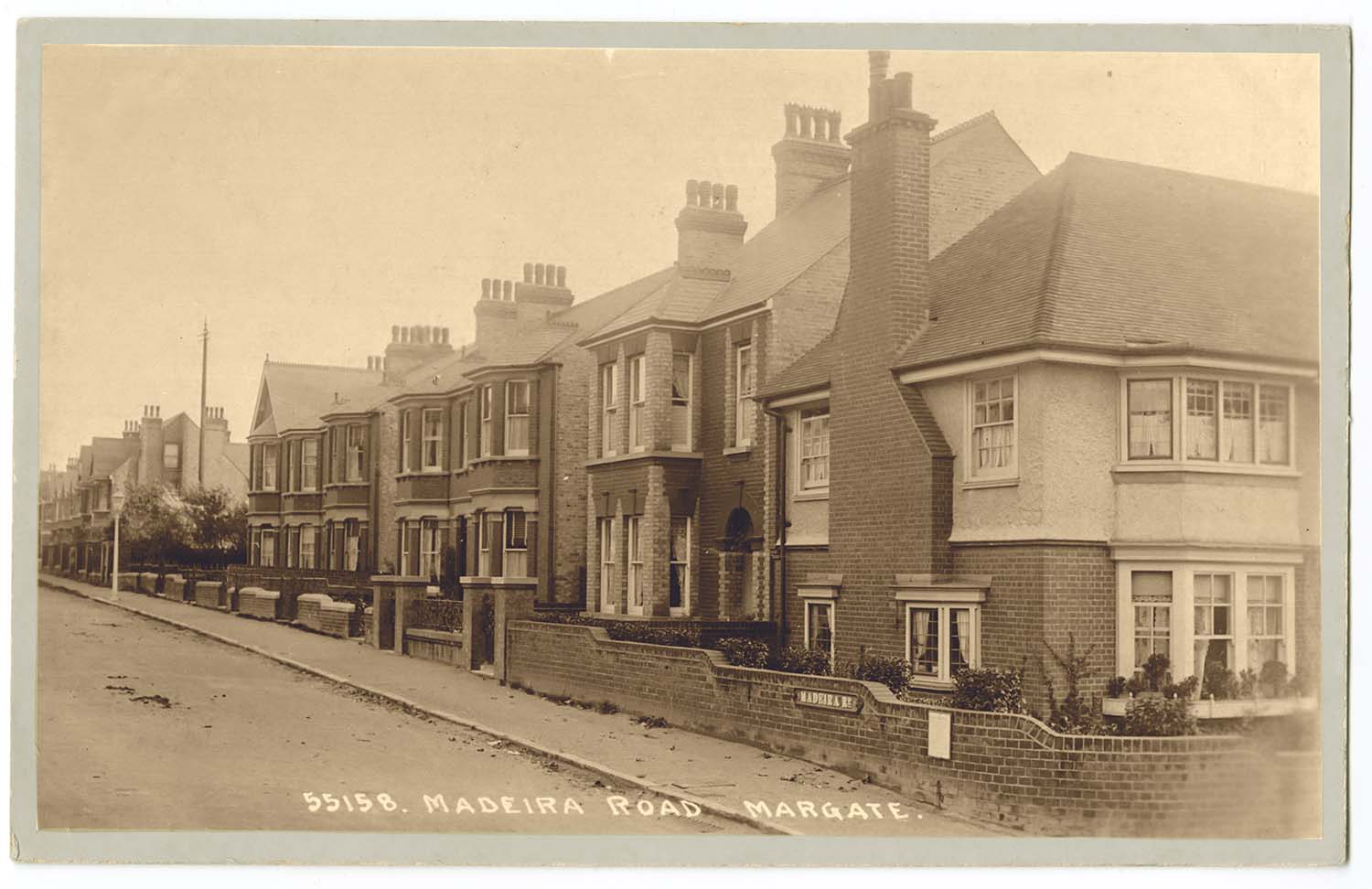
Madeira Road |
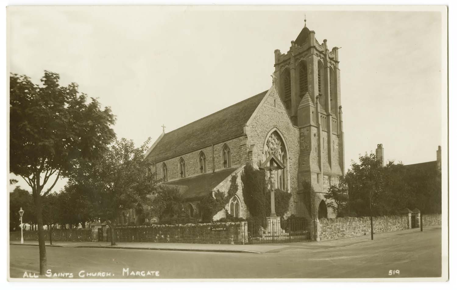
Hartsdown Road All Saints Church |
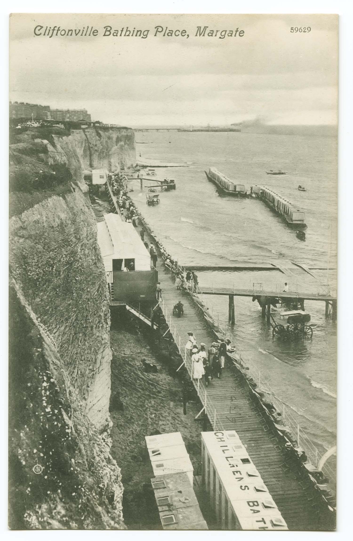
Pettmans Bathing Place/Childrens Bath |
Postcards added to Margate Trams. |
|||
 |
 |
||
|
Marine Terrace repair to tram wires |
clock tower trams 1927 |
||
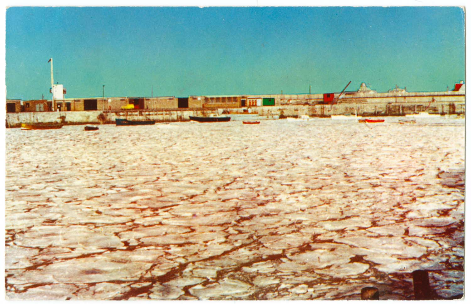
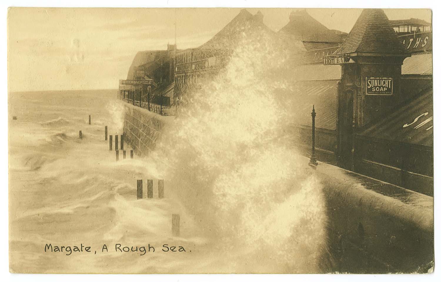
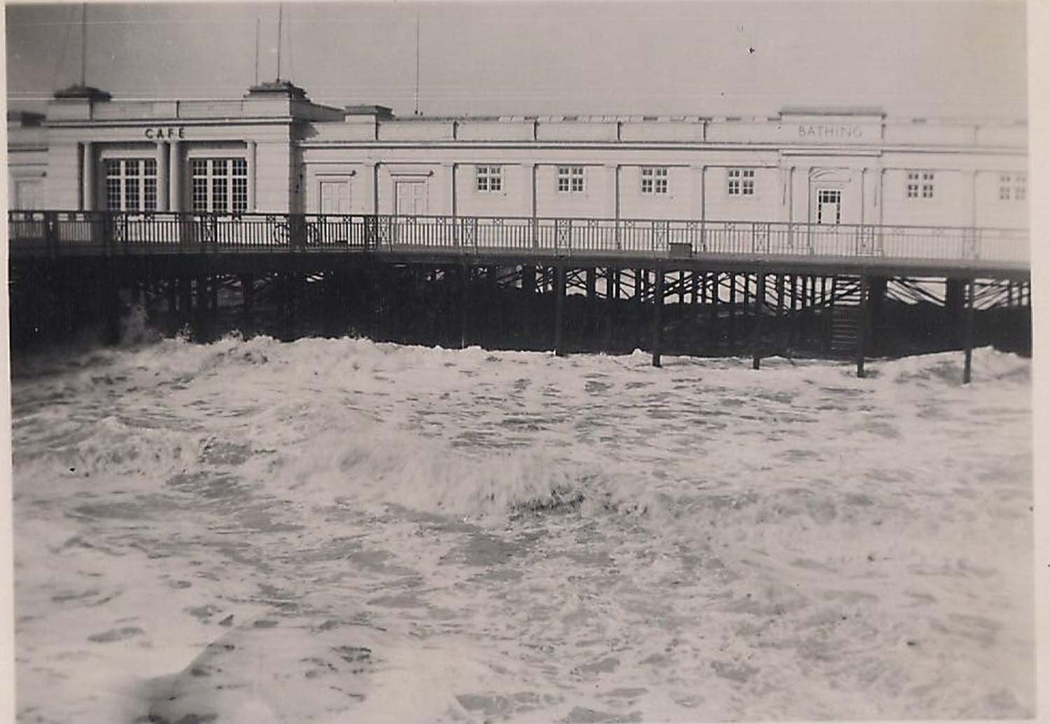
Postcard added to Margate Storms. |
|||
 |
|||
|
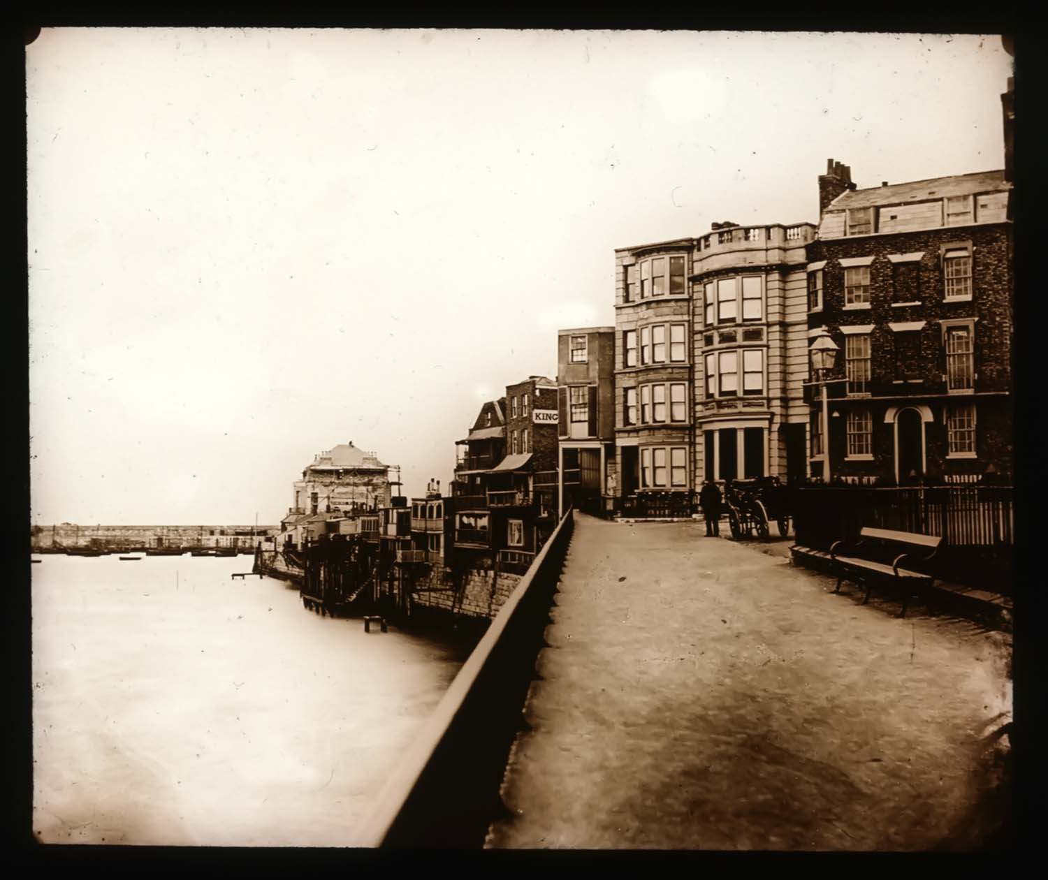
Harbour and Frozen Sea |
|||
|
May 25 2012 |
|||
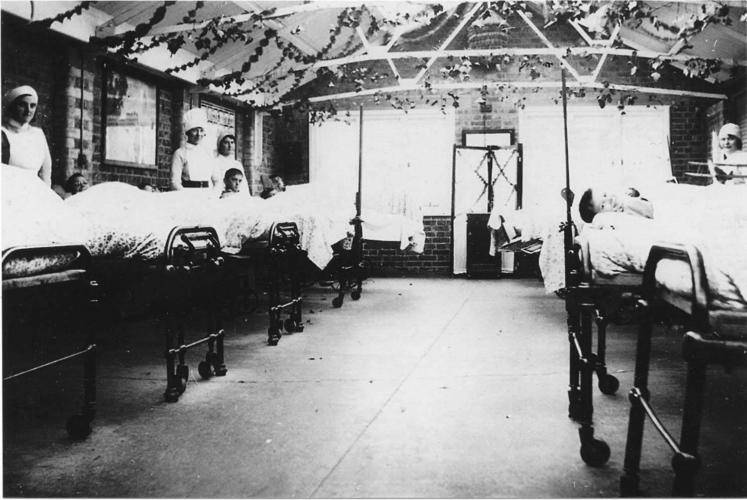
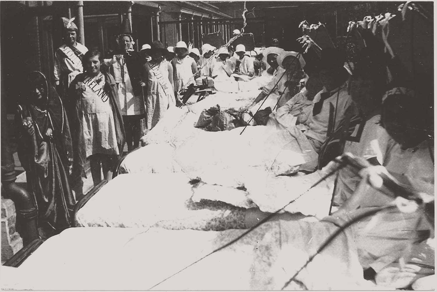
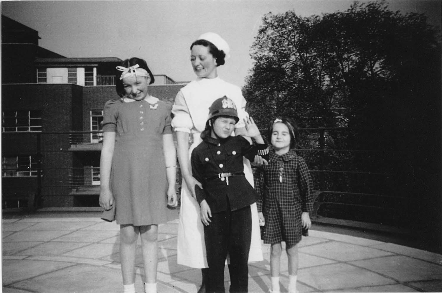
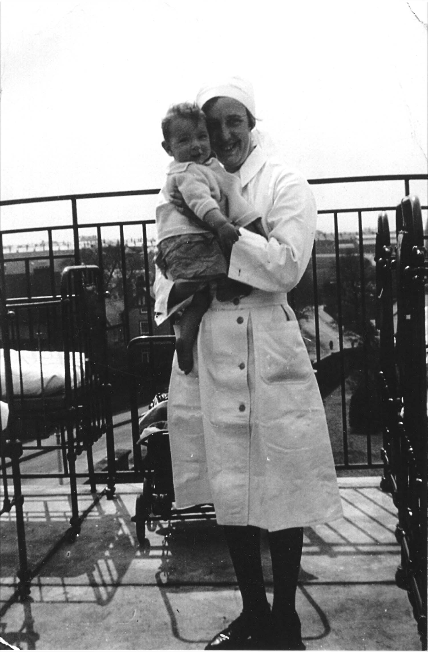
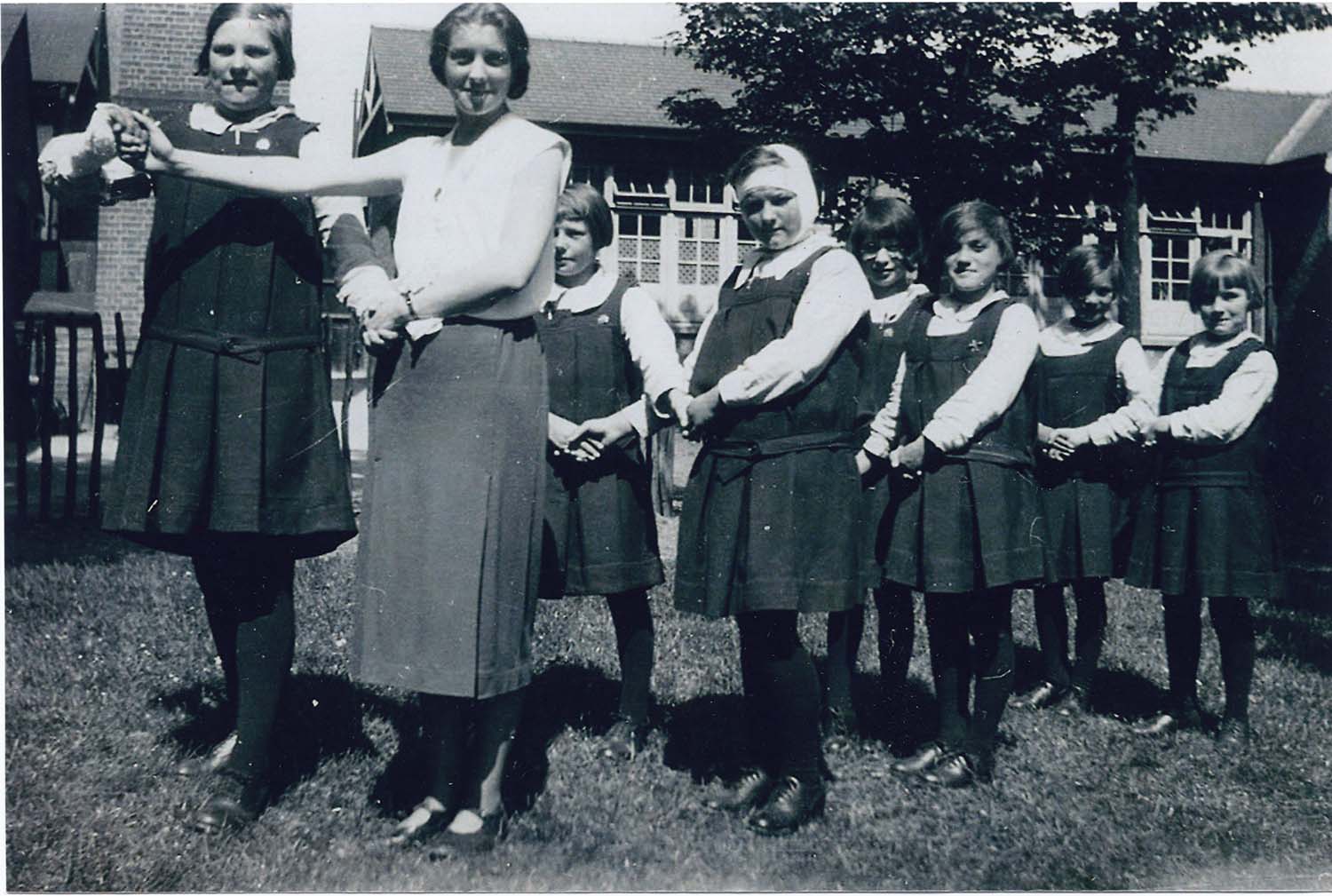
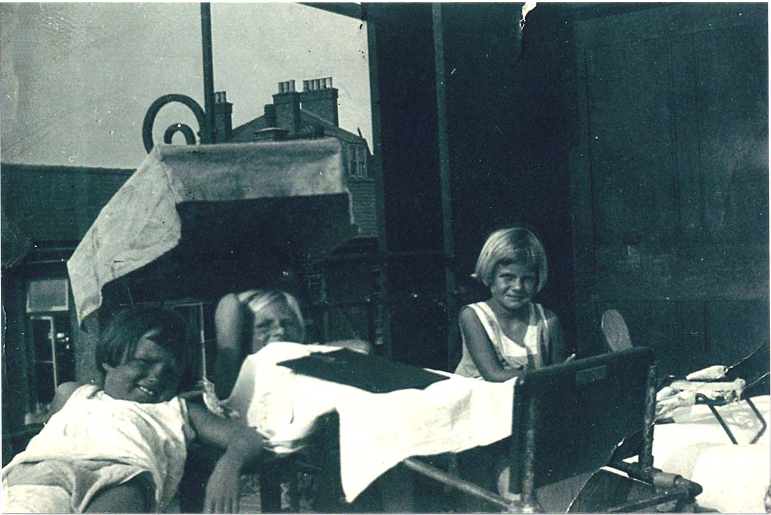
Princess Mary's Hospital for Children, Margate (Metropolitan Asylums Board) |
|||
I thank Janet Royce for these photographs of Princess Mary's Hospital for Children in the early 1930s, when her mother, Bessie Pybus, was a nurse at the Hospital. |
|||
Princess Mary's hospital on Wilderness Hill was previously the East Cliffe House for Convalescent Children (actually on Alexandra Road, now called Northdown Road). This was acquired in 1898 by the Metropolitan Asylums Board as a seaside hospital for London children with tubercular infections of the spine, bones and joints. The hospital was gradually expanded and in 1930, the hospital was taken over by the London County Council. In 1934, it was converted to a hospital for convalescent women under the name of Princess Mary's Convalescent Home; the children's facilities were transferred from Margate to Heatherwood Hospital at Ascot. Eastcliff House was used as a nurses's home. In 1938, a large new convalescent block was added at the south of the site. The hospital later became a rehabilitation hospital but finally closed in around 1981. The 1938 blocks now house a private residential nursing home. |
|||
 |
 |
 |
 |
|
East Ward 1931 |
Empire Day on one of the Wards 1931 |
Helen Bailey with patients 1931 |
Bessie Pybus with Patient 1931 |
 |
 |
 |
|
|
Walking Patients with Miss Townley 1931 |
Patients on terrace |
Walking Patients with Attendant 1931 |
|
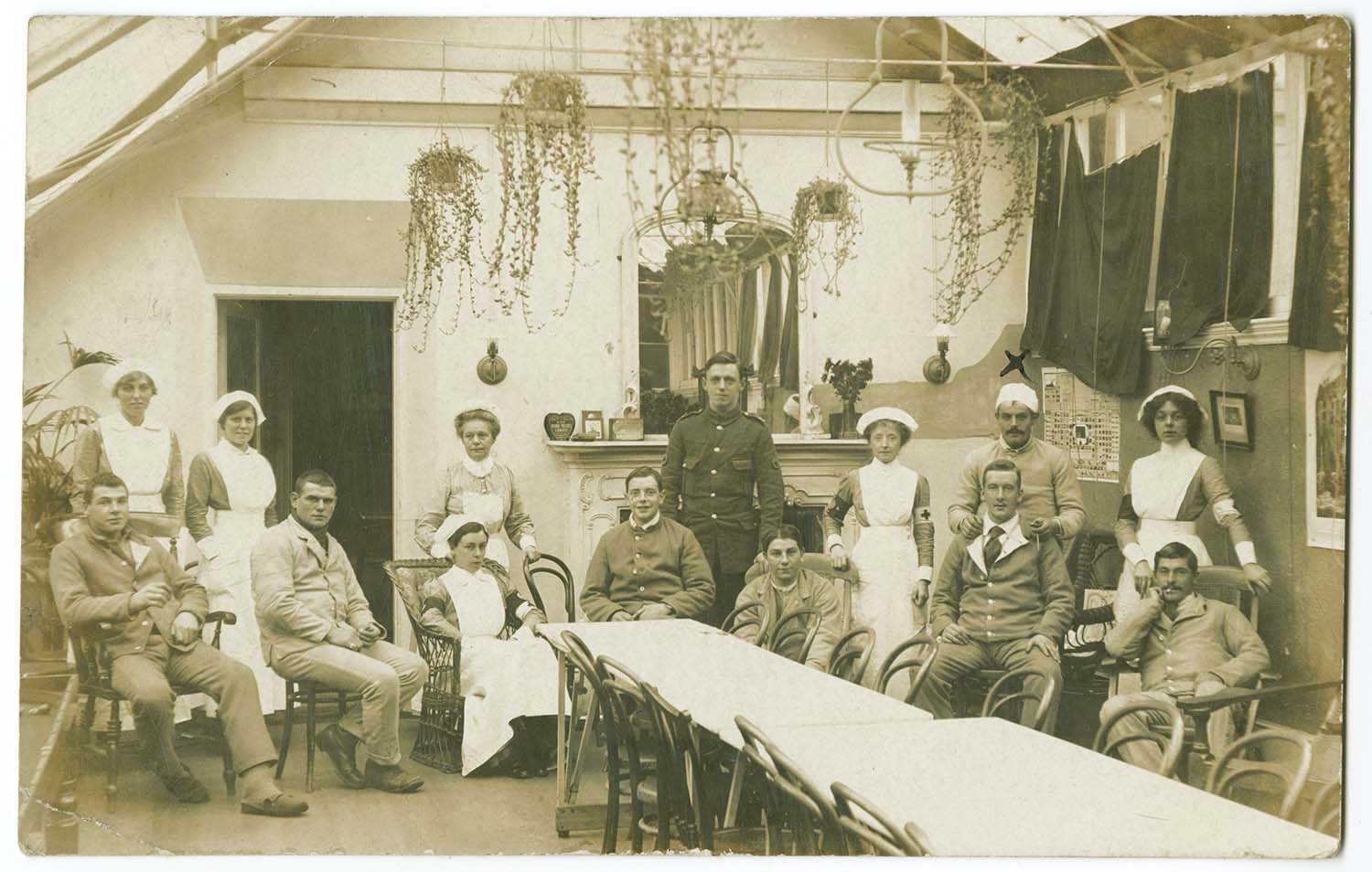
A view of one of the wards in 1916 when occupied by injured soldiers |
|||
 |
|||
|
Princess Mary Hospital - soldiers 1915 |
|||
|
May 18 2012 |
|||
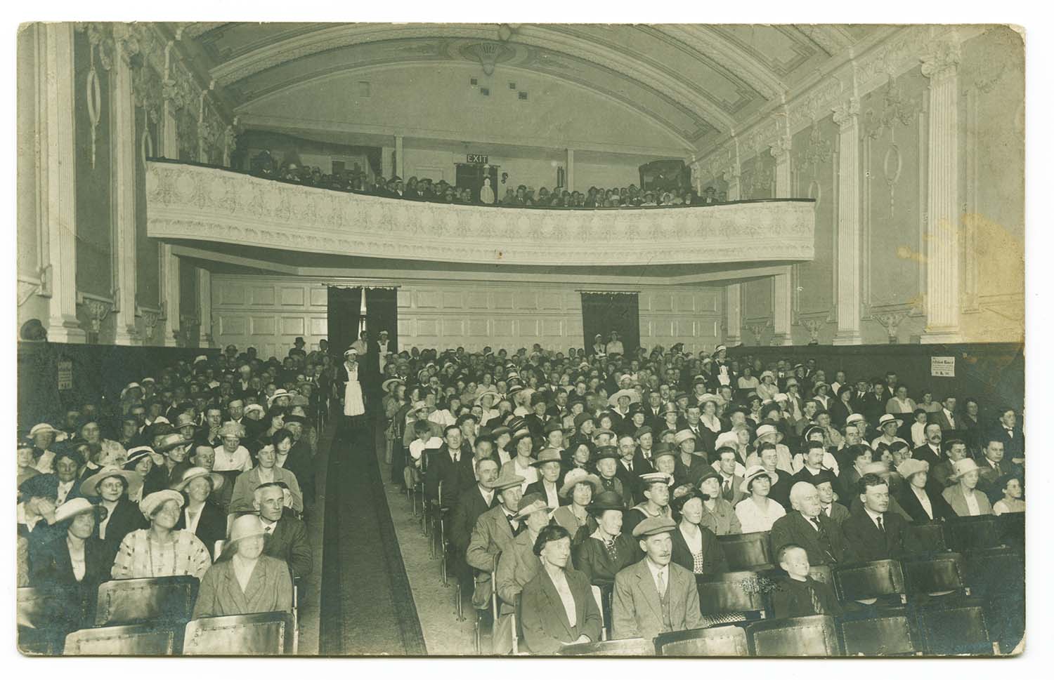
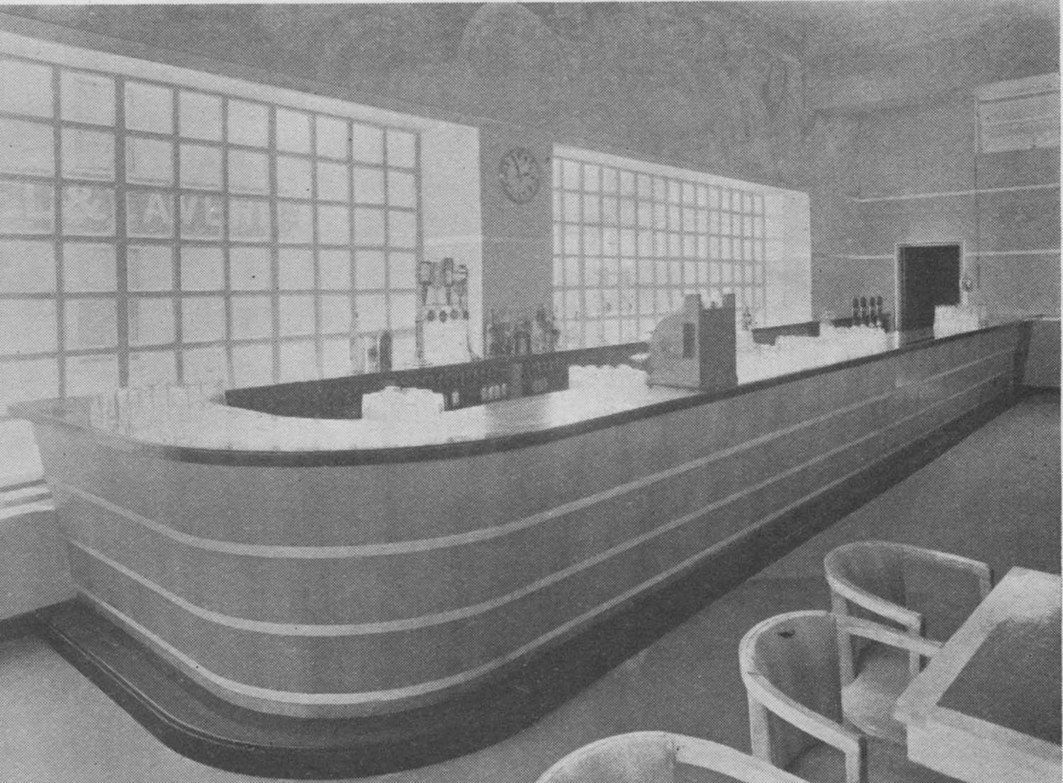
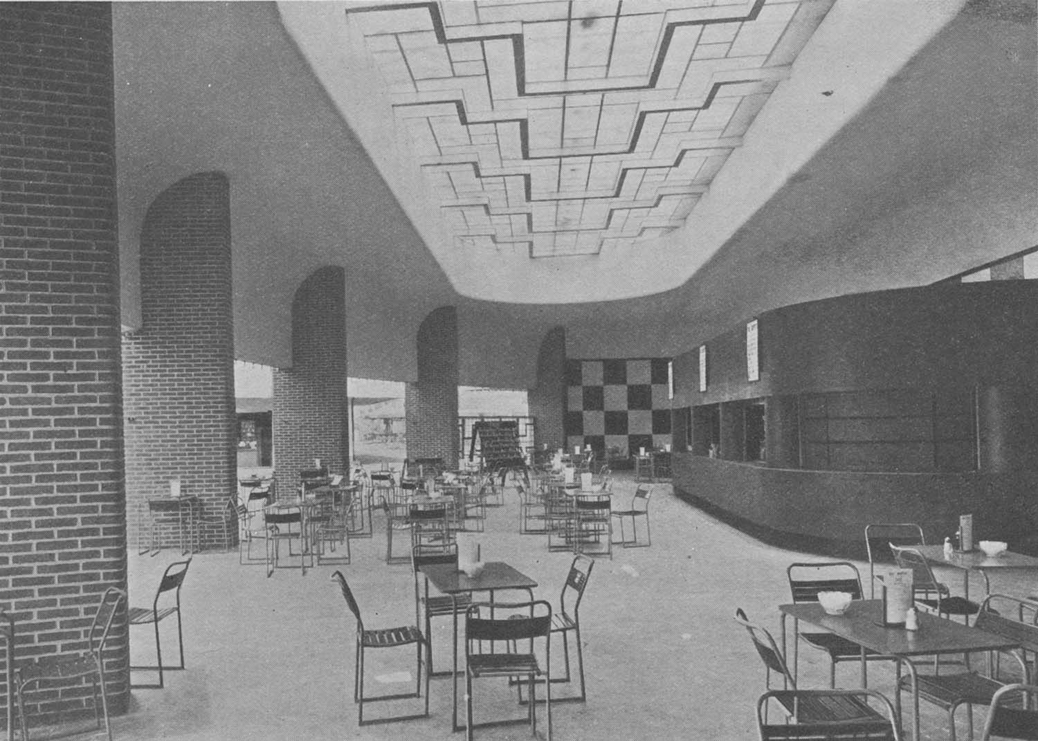
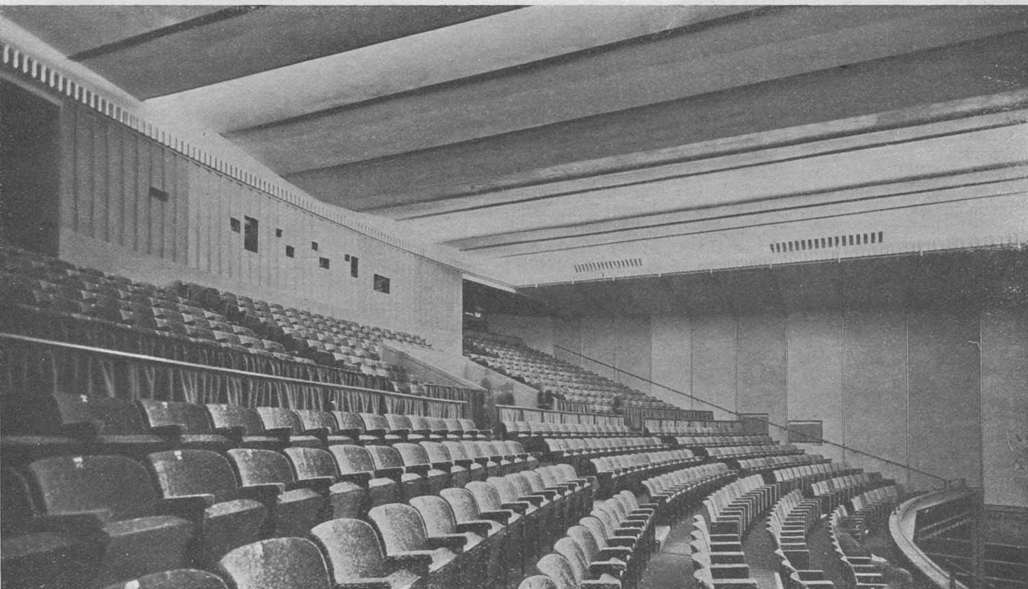
Possibly pictures of the Plaza Cinema and the Hippodrome in Margate |
|||
Does anyone recognize these views? The first is possibly of the Plaza Cinema at the top of the High Street and the remaining two may be of the Hippodrome. I would be grateful for any confirmation, or otherwise. |
|||
 |
 |
 |
|
|
Plaza cinema? [Houghton 1921] |
Hippodrome Interior? [1905] |
Hippodrome Interior? [Goodmans Studio] |
|
|
May 9 2012 |
|||
Lantern Slides added to the 1873 and 1907 Ordnance Survey Maps of Margate |
|||
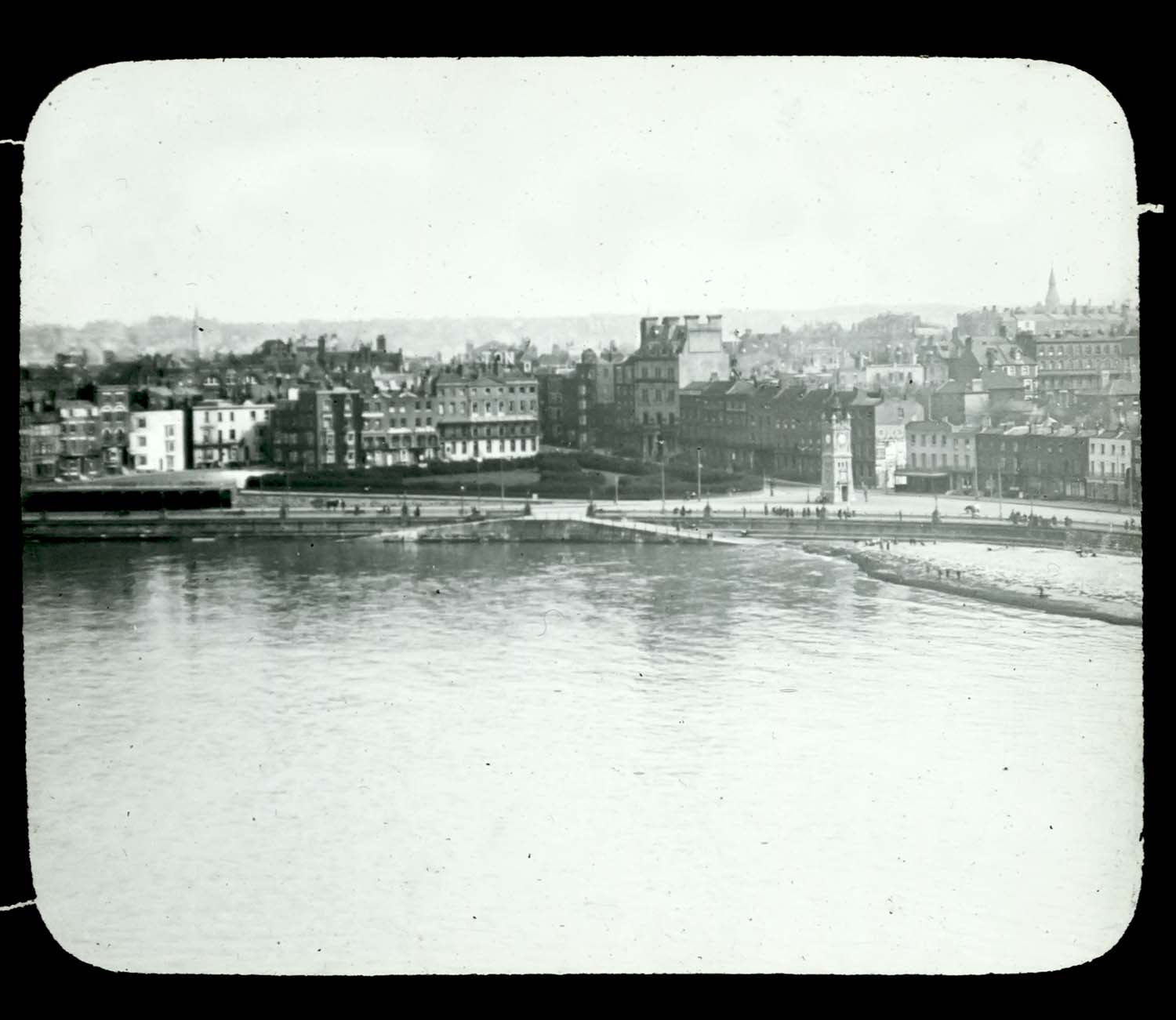
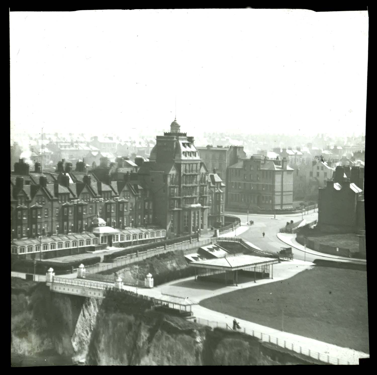
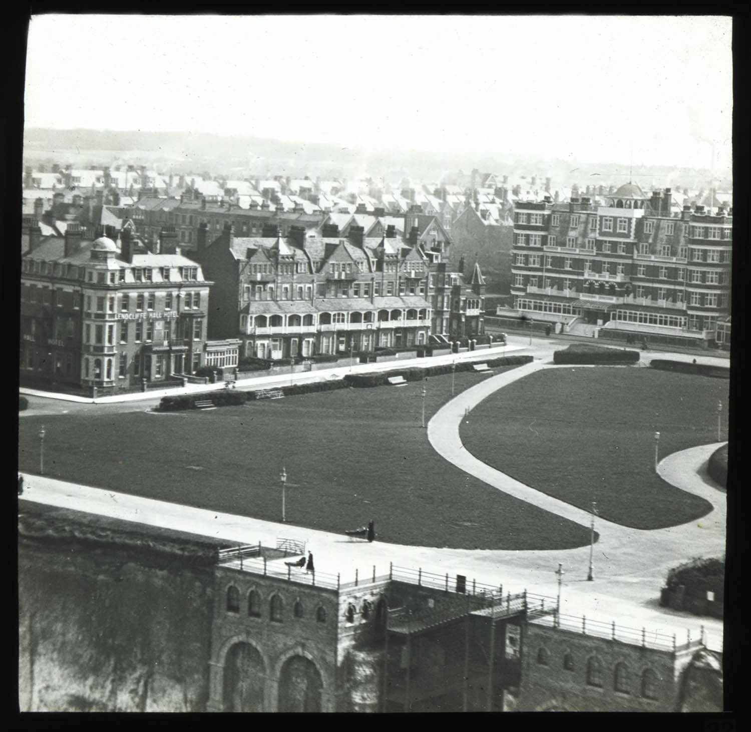
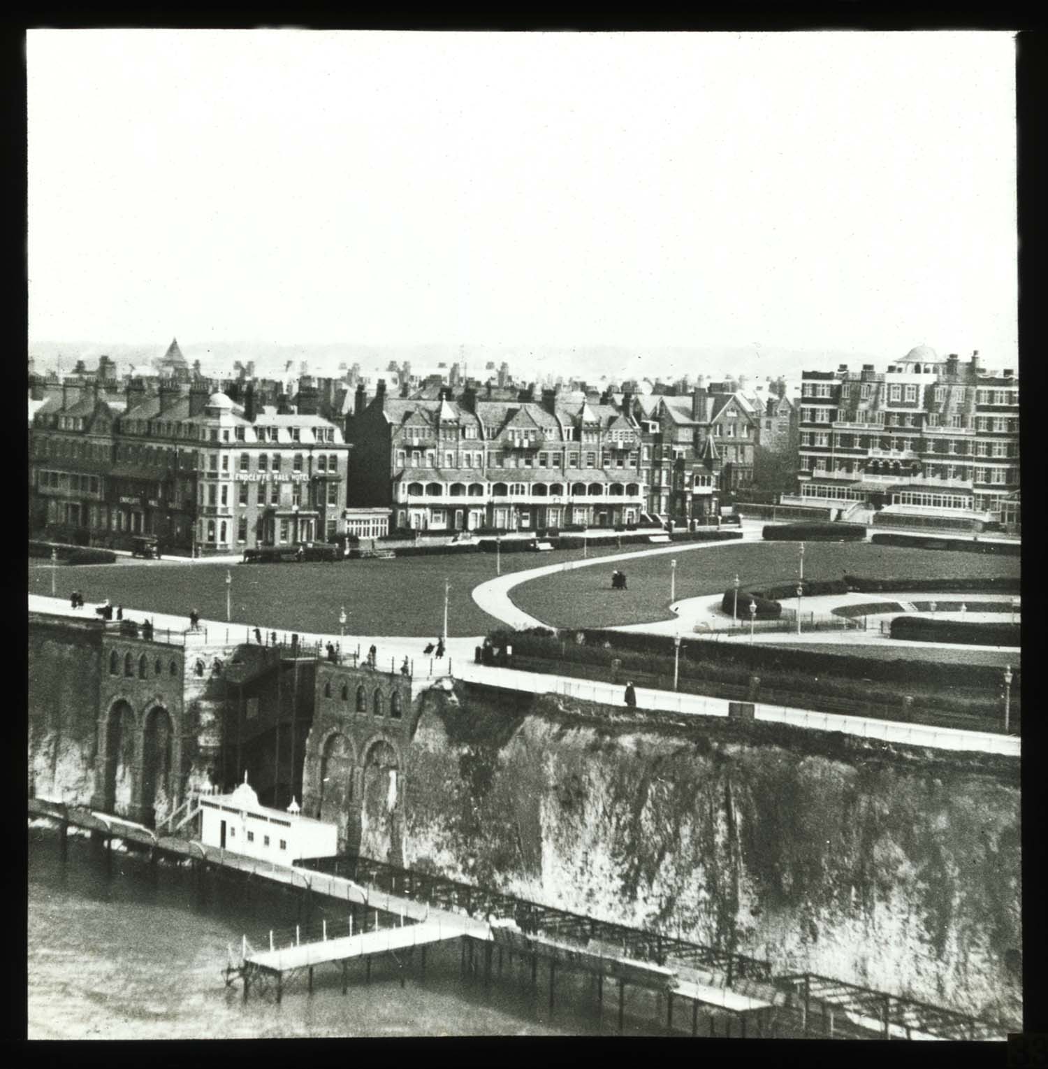
Some early aerial views |
|||
 |
 |
 |
 |
|
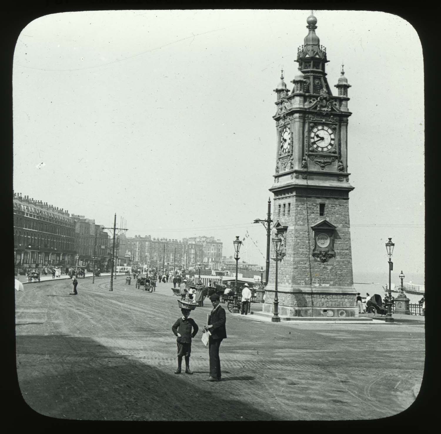
Albert Terrace and Clocktower |
Queens Highcliffe Hotel |
Oval and Endcliffe Hall Hotel |
Oval and Pettman's Bathing Station |
 |
|||
|
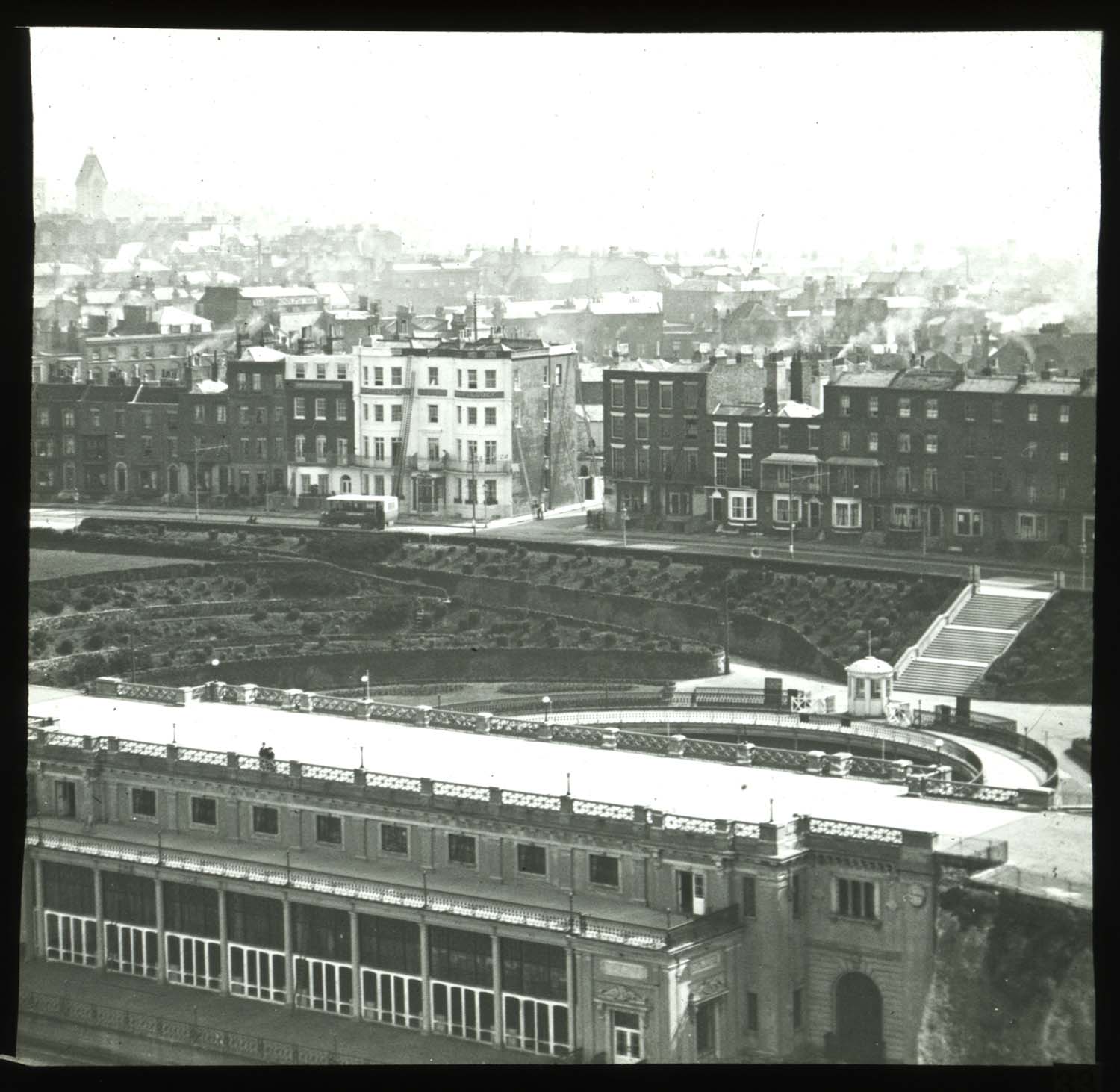
Winter Gardens |
|||
Other views |
|||
 |
 |
 |
 |
|
Westbrook Promenade 1929 |
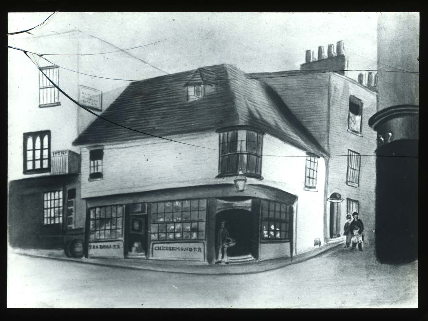
Lombard Street [drawing] |
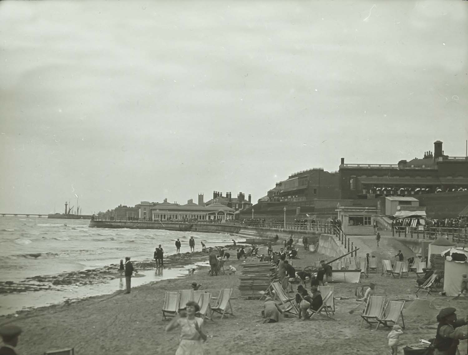
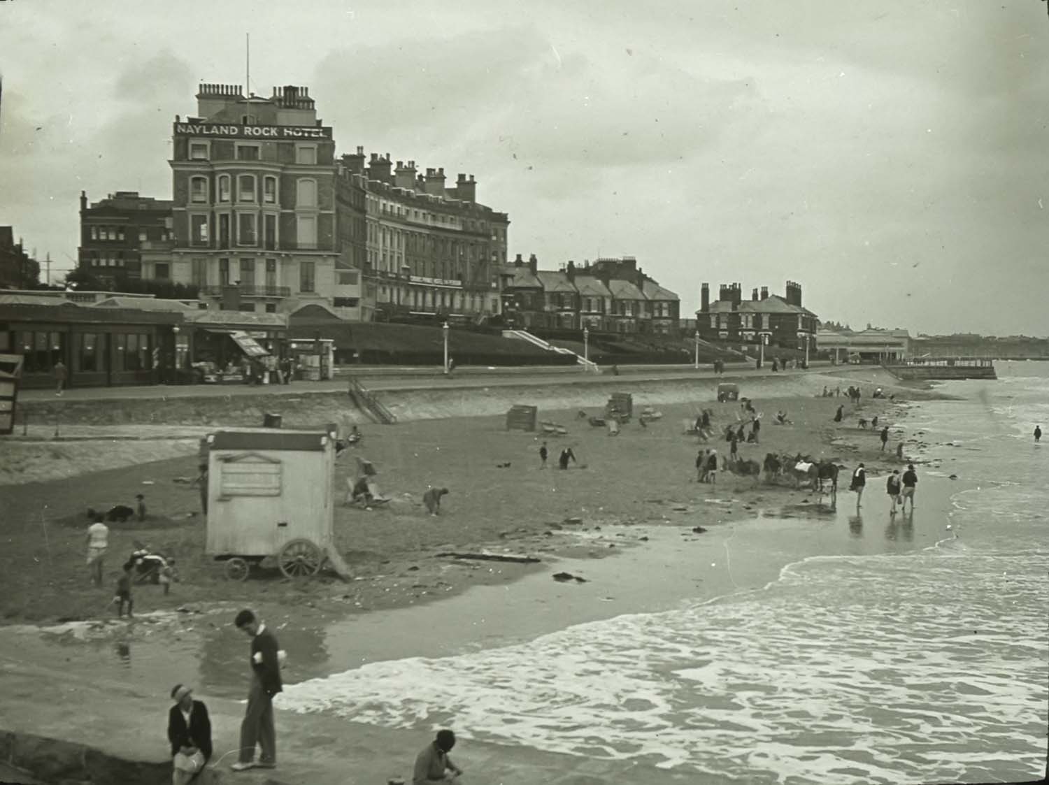
Nayland Rock Hotel |
Nayland Rock and Tram 1929 |
 |
 |
 |
 |
|
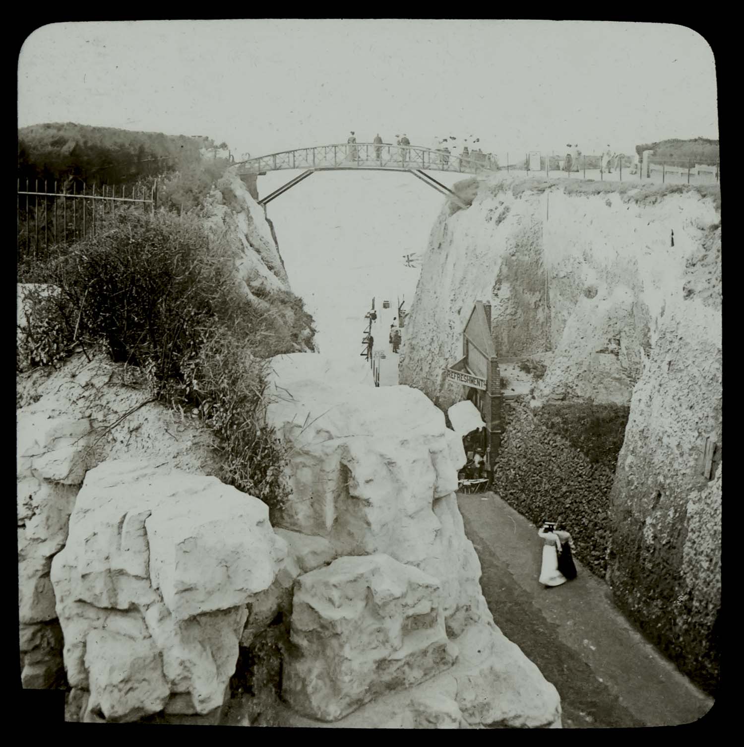
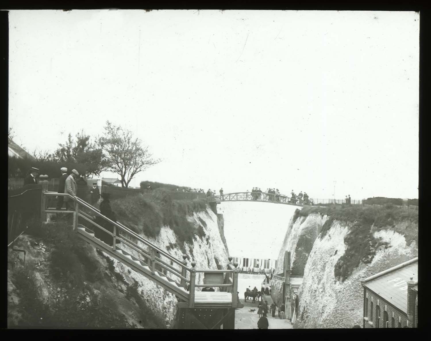
Newgate bridge [Wheeler] |
Newgate Bridge [slide] |
Paradise Street |
Albert terrace [slide] |
 |
 |
![Marine Terrace and Clocktower [Glass stereo] | Margate History](../Pictures/Photos/Lantern Slides/Stereo Glass upper Marine Terrace Clocktower left.jpg) |
|
|
Clifton Baths and Sands ca 1858 |
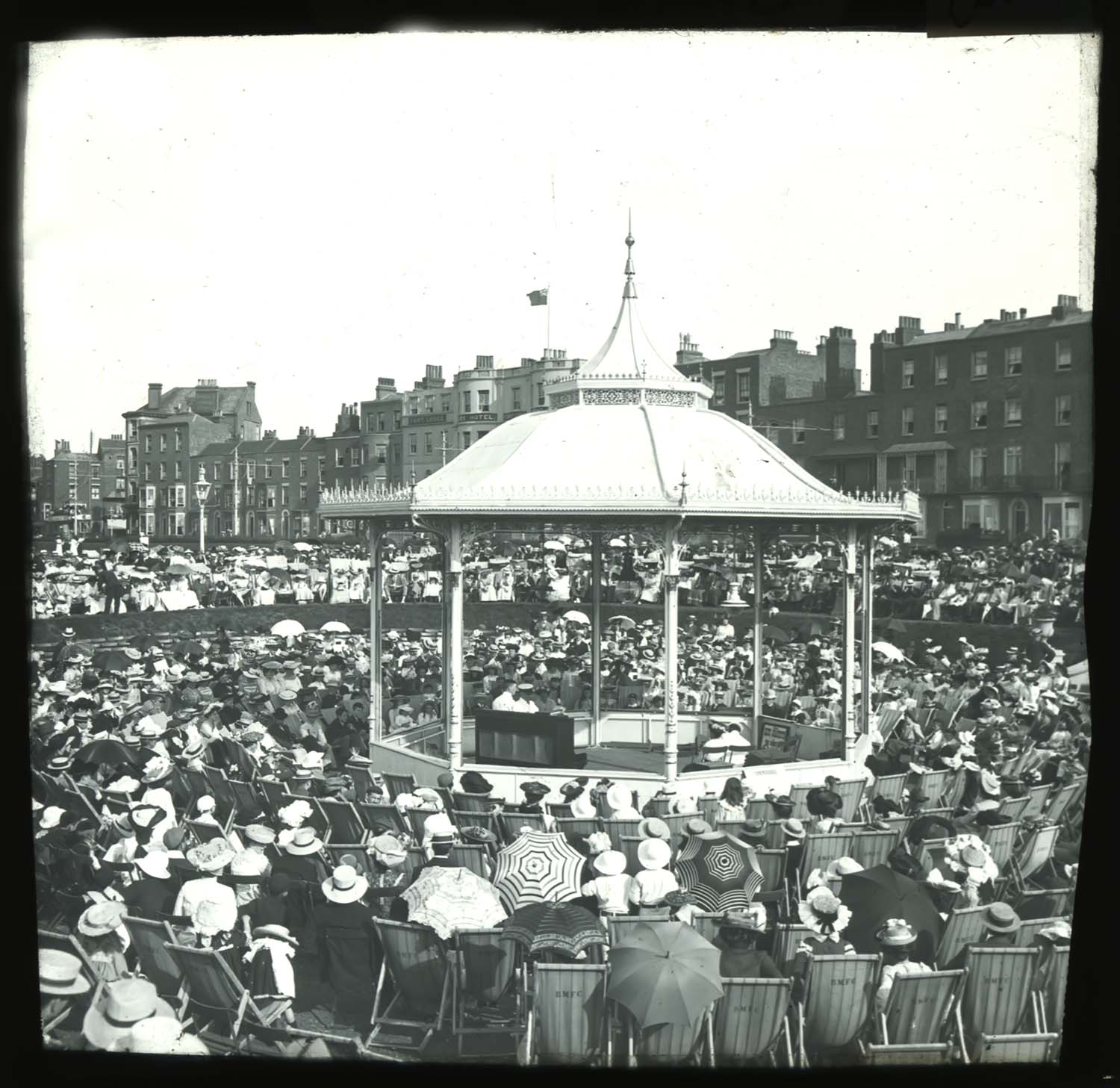
Fort Bandstand |
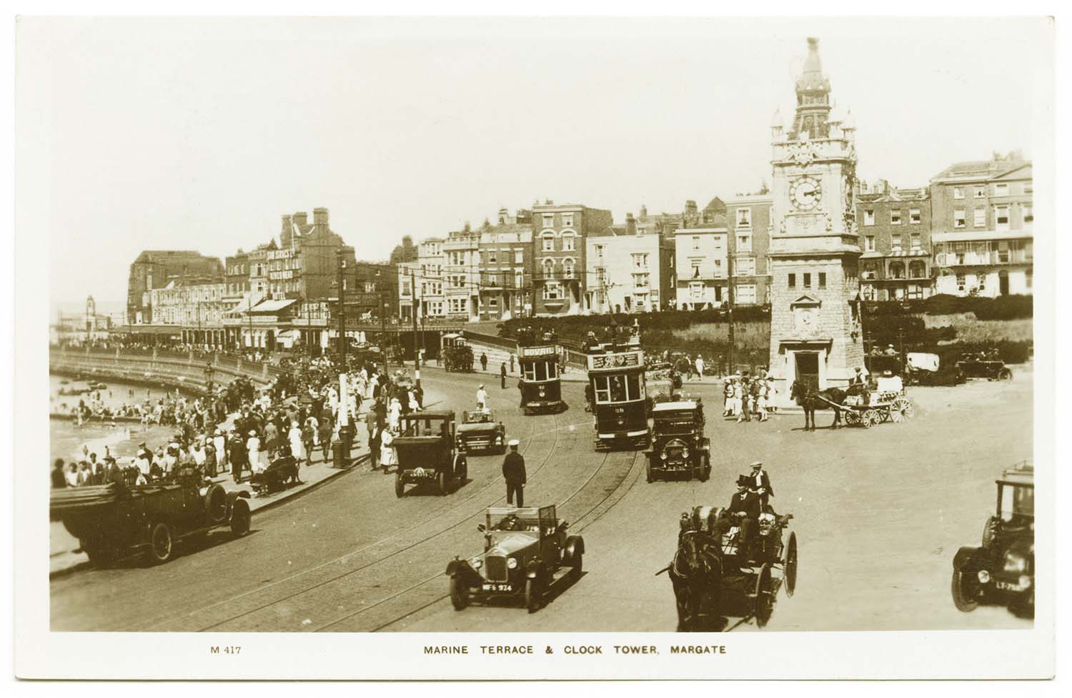
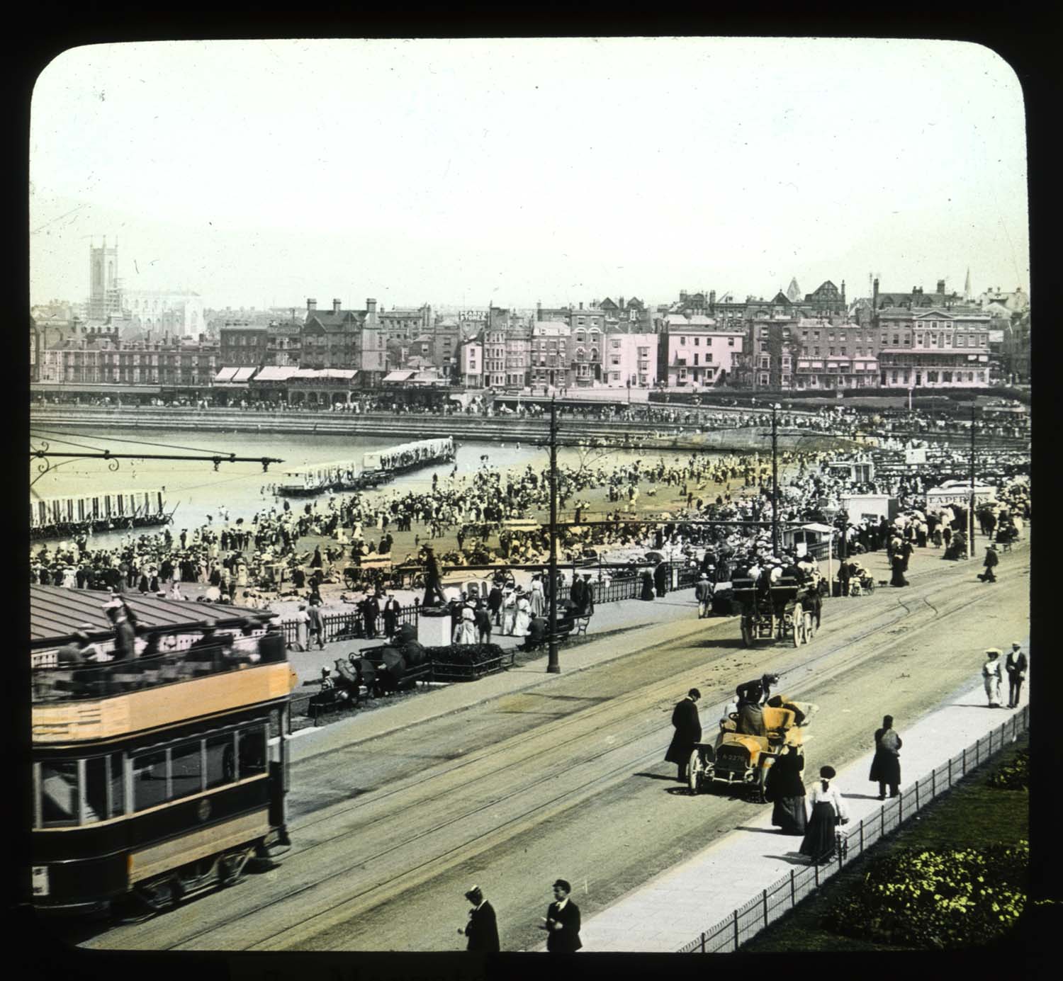
Marine Terrace and Clocktower [glass stereo] |
|
|
May 7 2012 |
|||
Newly added to Edmunds 1821 Map of Margate. |
|||
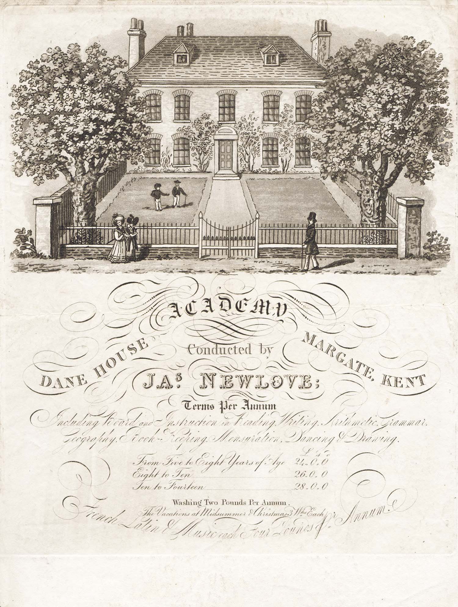
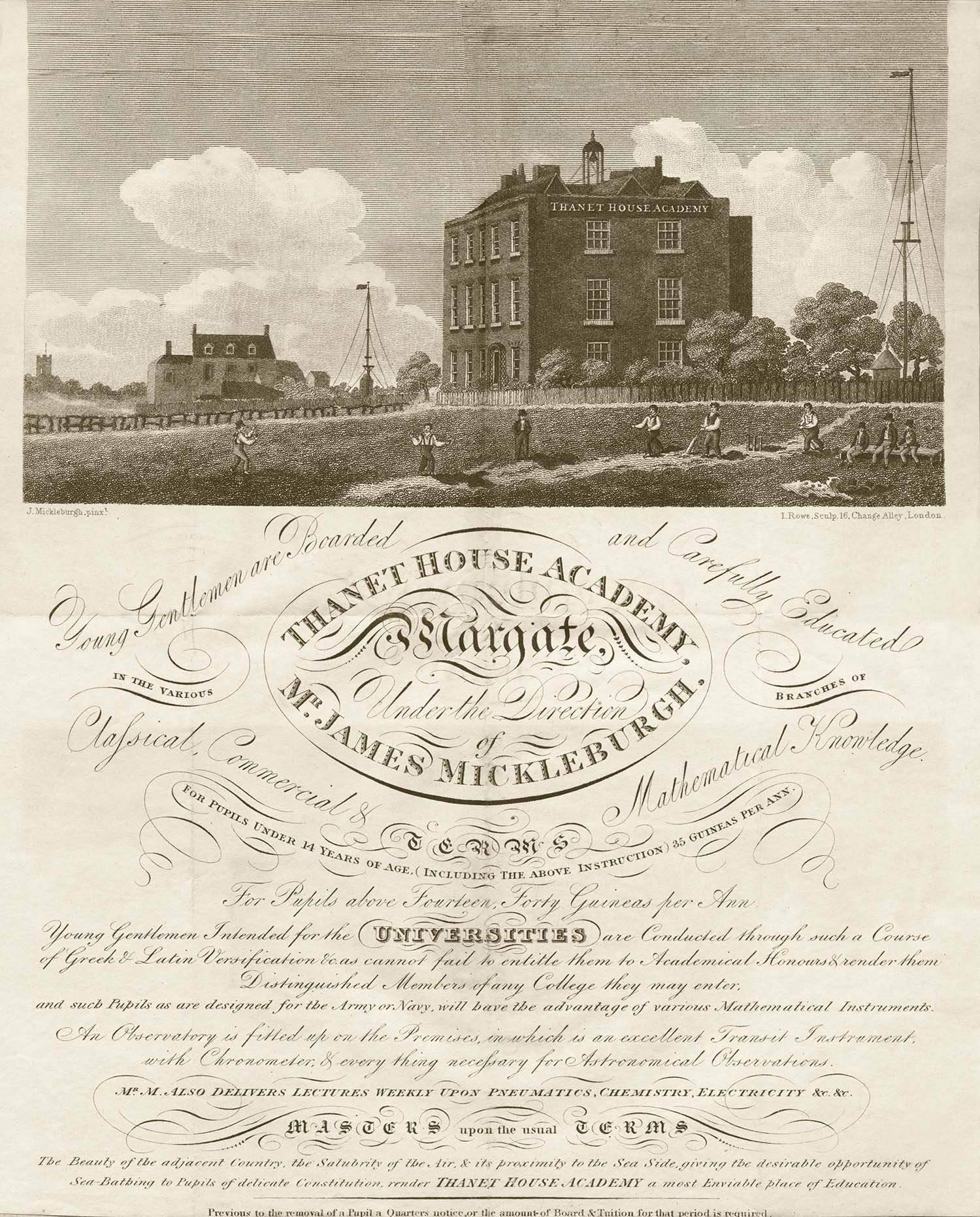
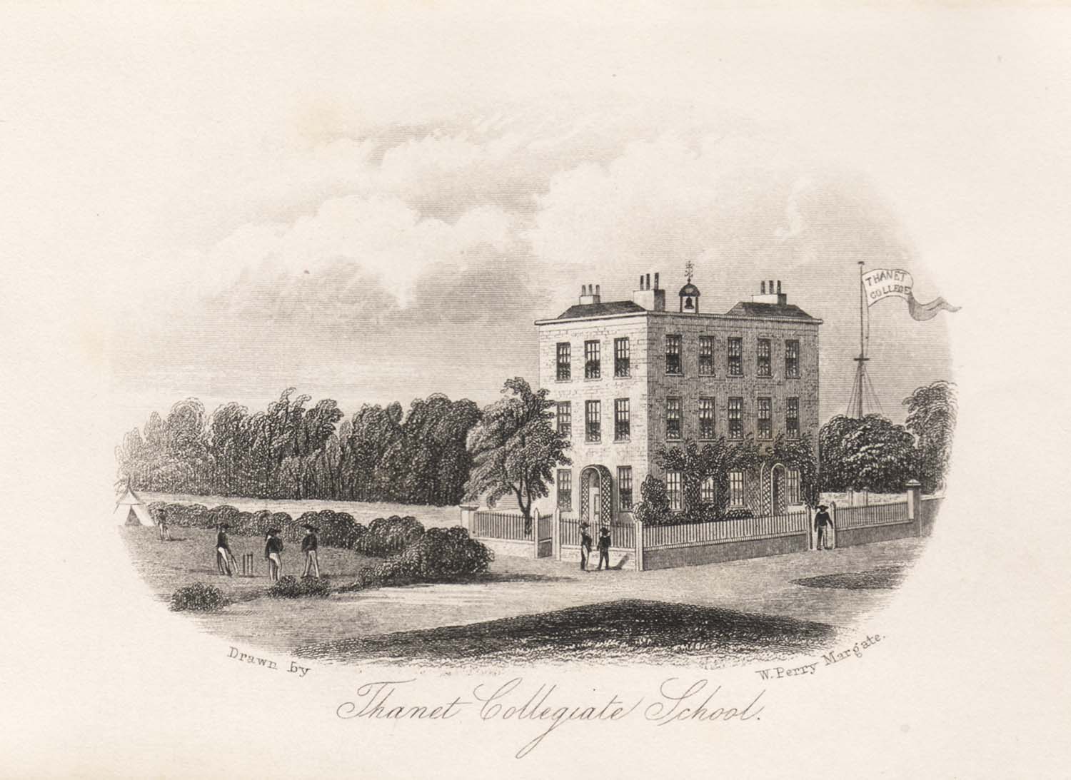
Two early Margate Schools |
|||
 |
 |
 |
|
|
Dane House Academy [advertising flyer] |
Thanet House Academy [advertising flyer] |
Thanet Collegiate School [Perry] |
|
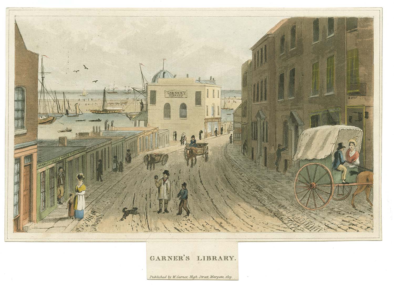
An early local print of Garner's Library |
|||
 |
|||
|
Garner's Library [Garner 1819] |
|||
|
May 3 2012 |
|||
Lantern Slides added to the 1907 Ordnance Survey Map. |
|||
 |
 |
 |
 |
|
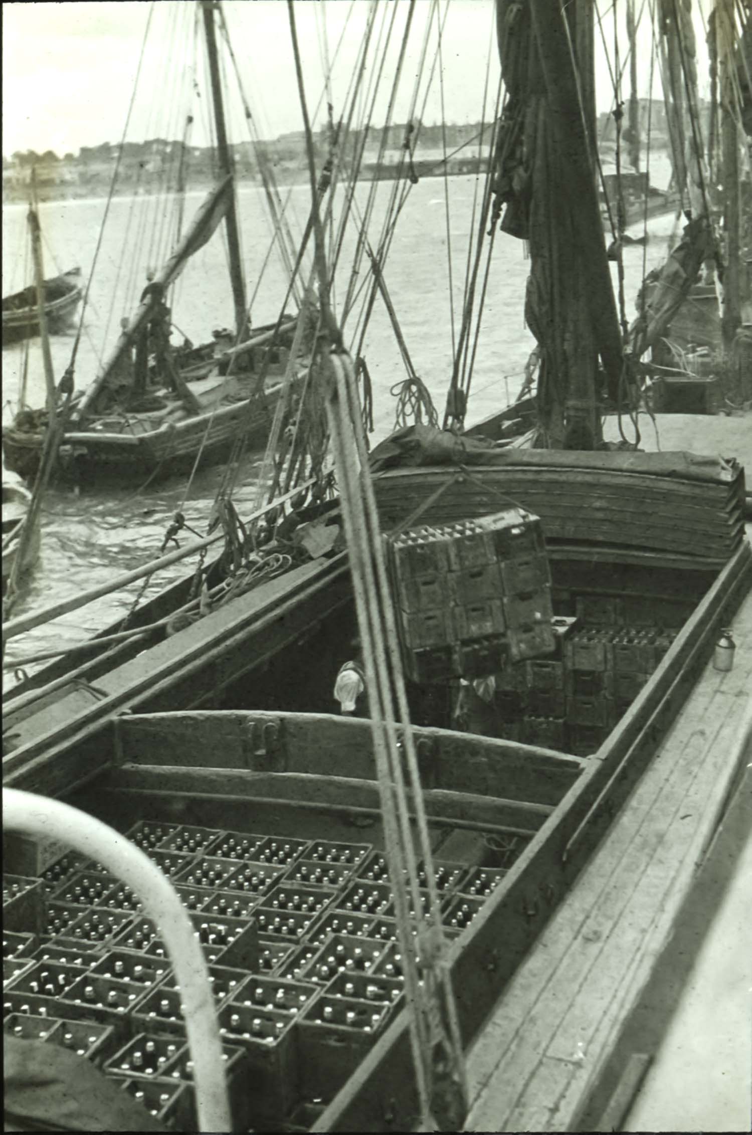
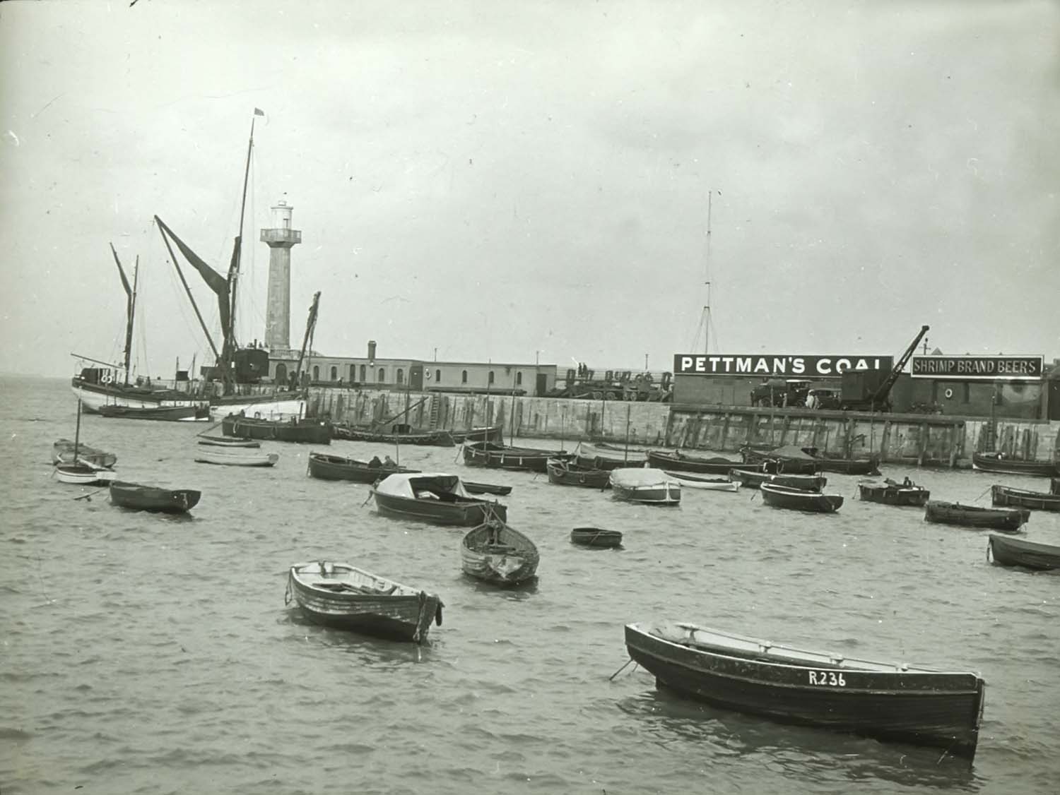
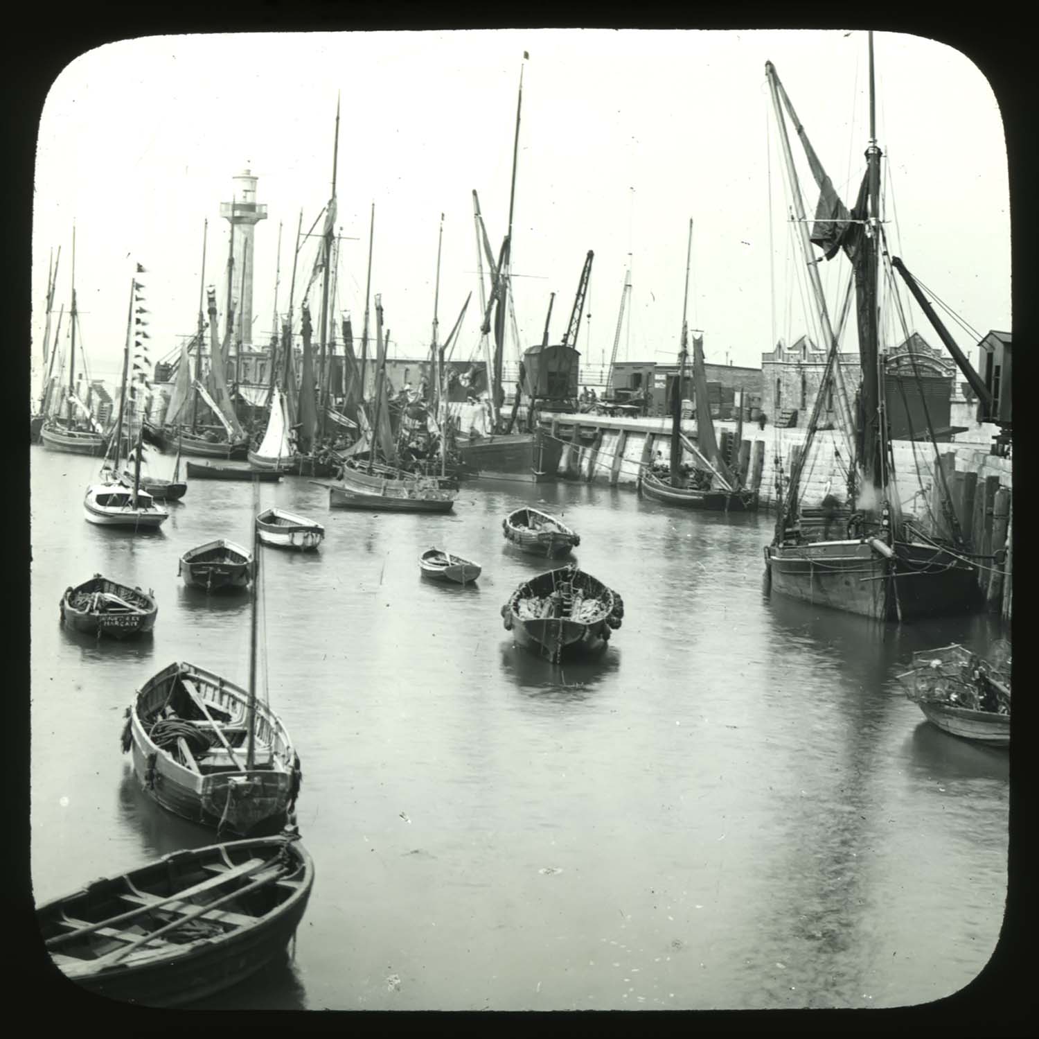
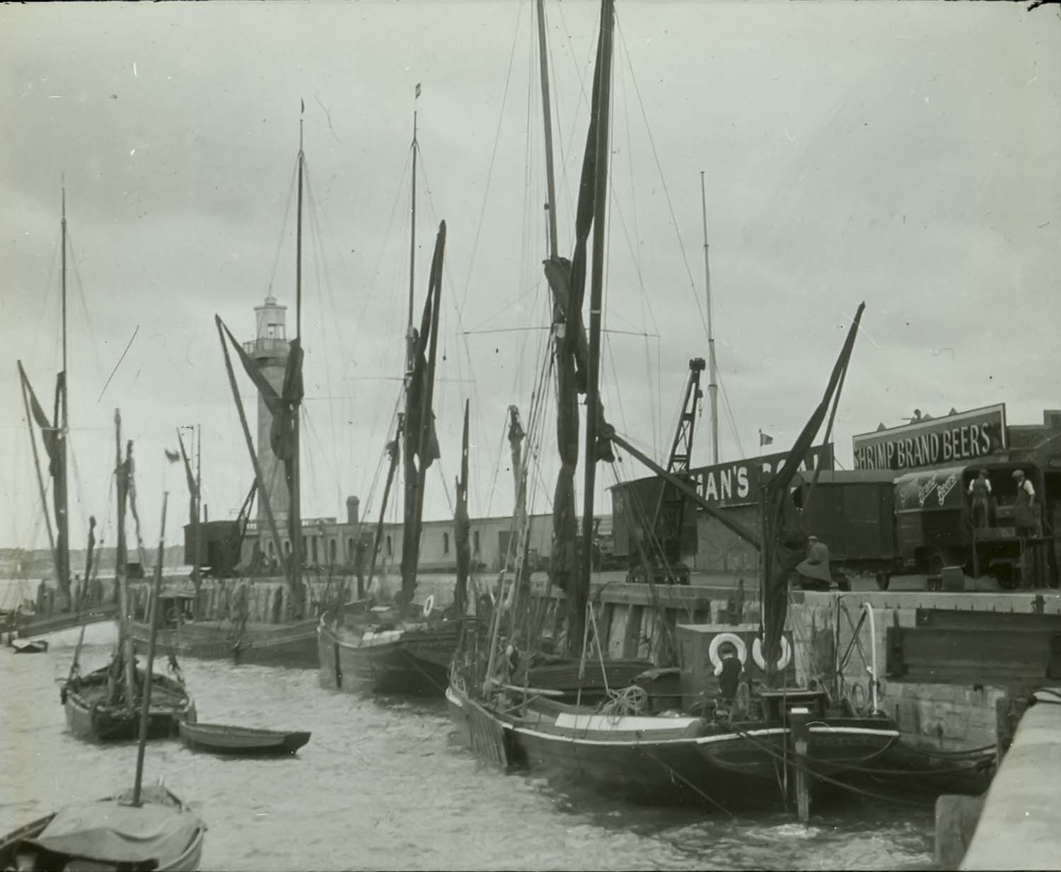
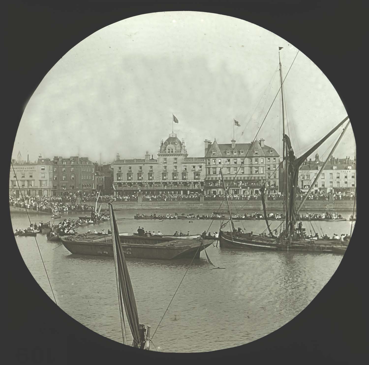
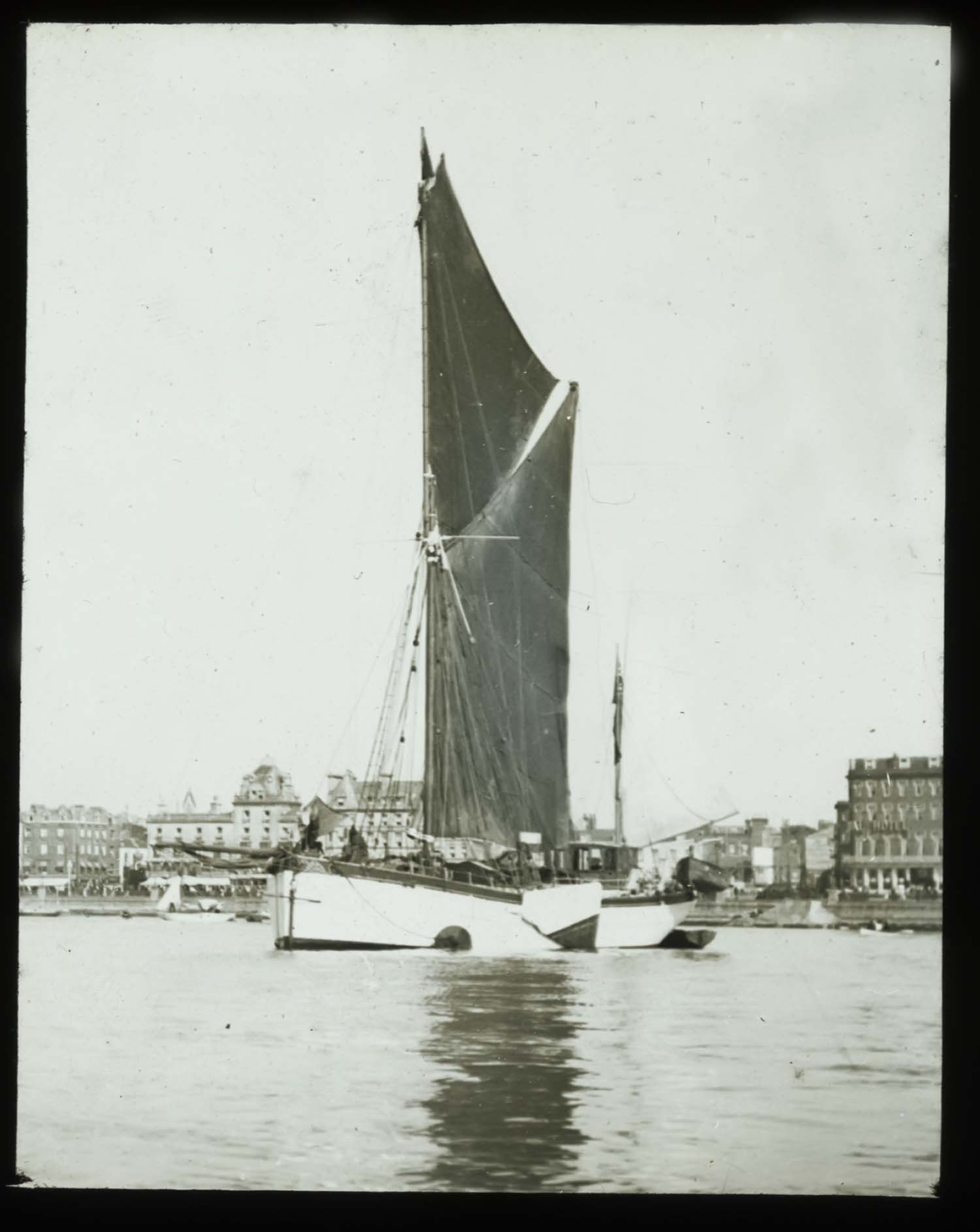
Harbour 1929 - loading barge |
Harbour 1929 |
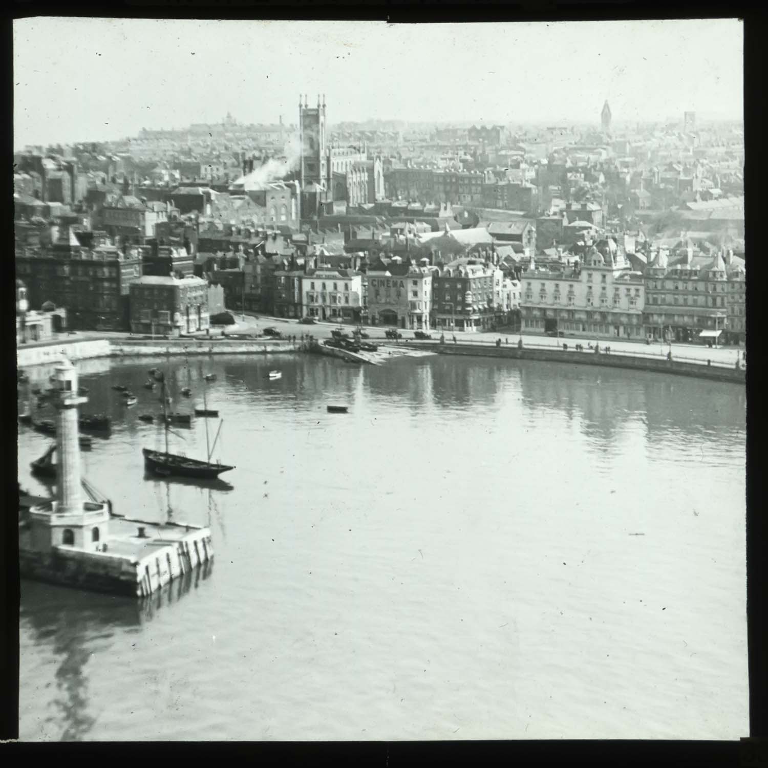
Harbour from the air |
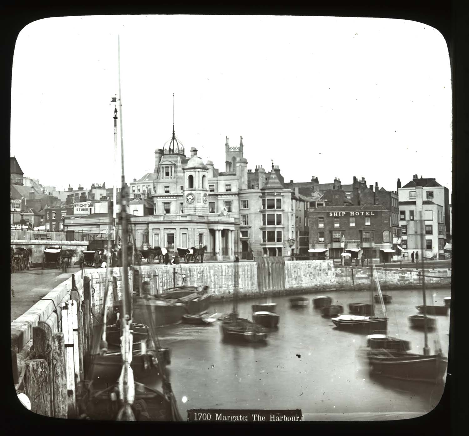
Harbour |
 |
 |
 |
 |
|
Harbour 1929 |
Harbour 1929 |
Harbour from the air |
Harbour |
 |
 |
 |
 |
|
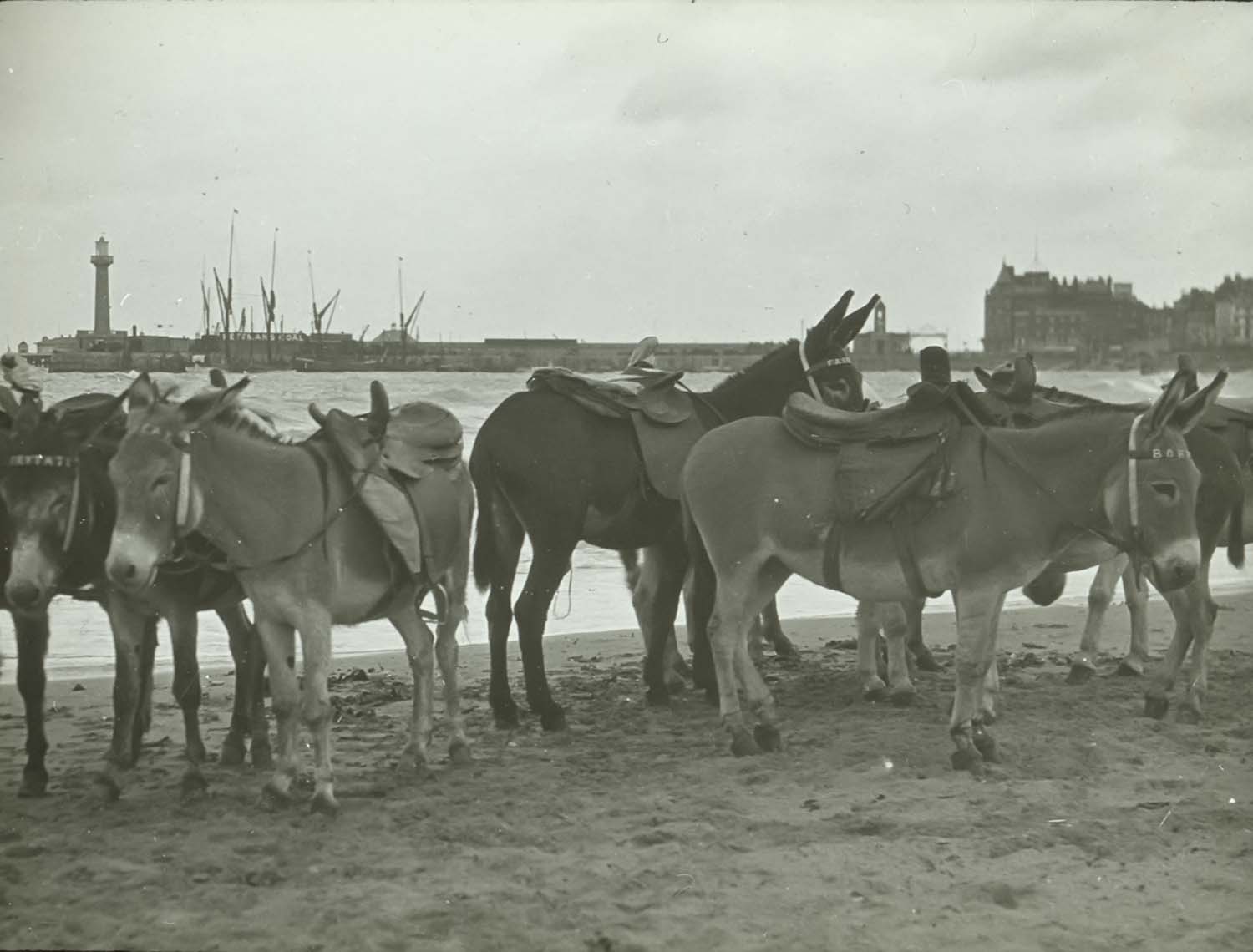
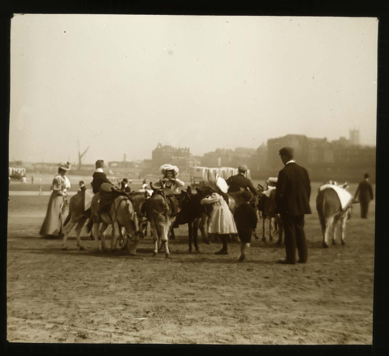
Donkies on Marine Terrace sands |
Donkies on Marine Terrace sands |
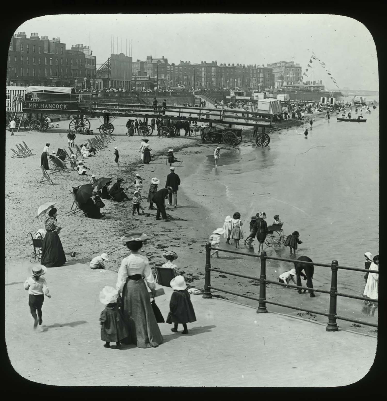
Marine Terrace sands |
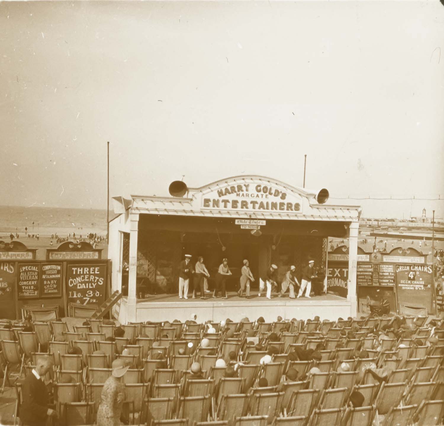
Golds entertainers on beach |
 |
 |
 |
 |
|
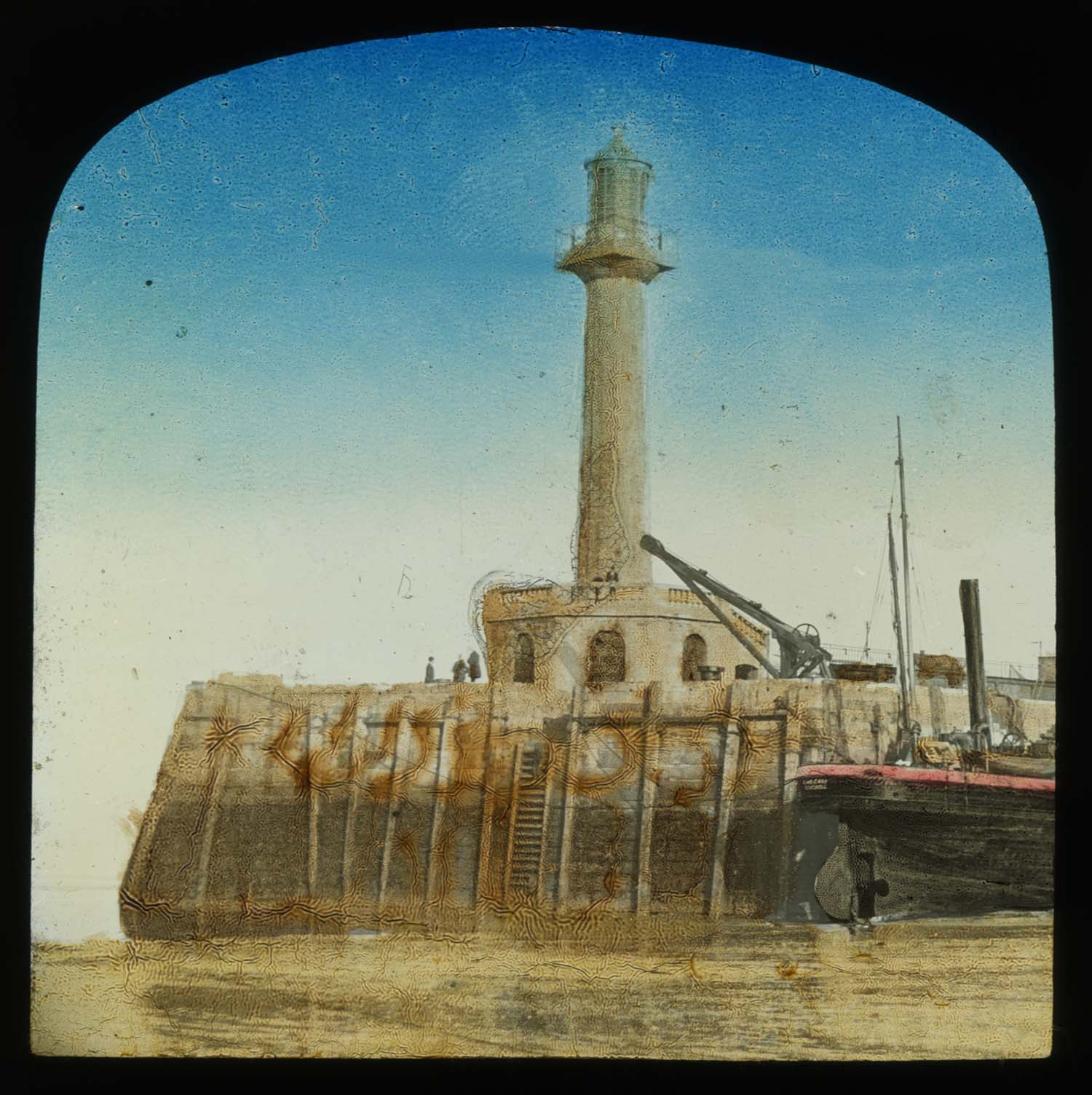
Pier and Lighhouse hand coloured slide |
Clocktower and Marine Terrace [slide] |
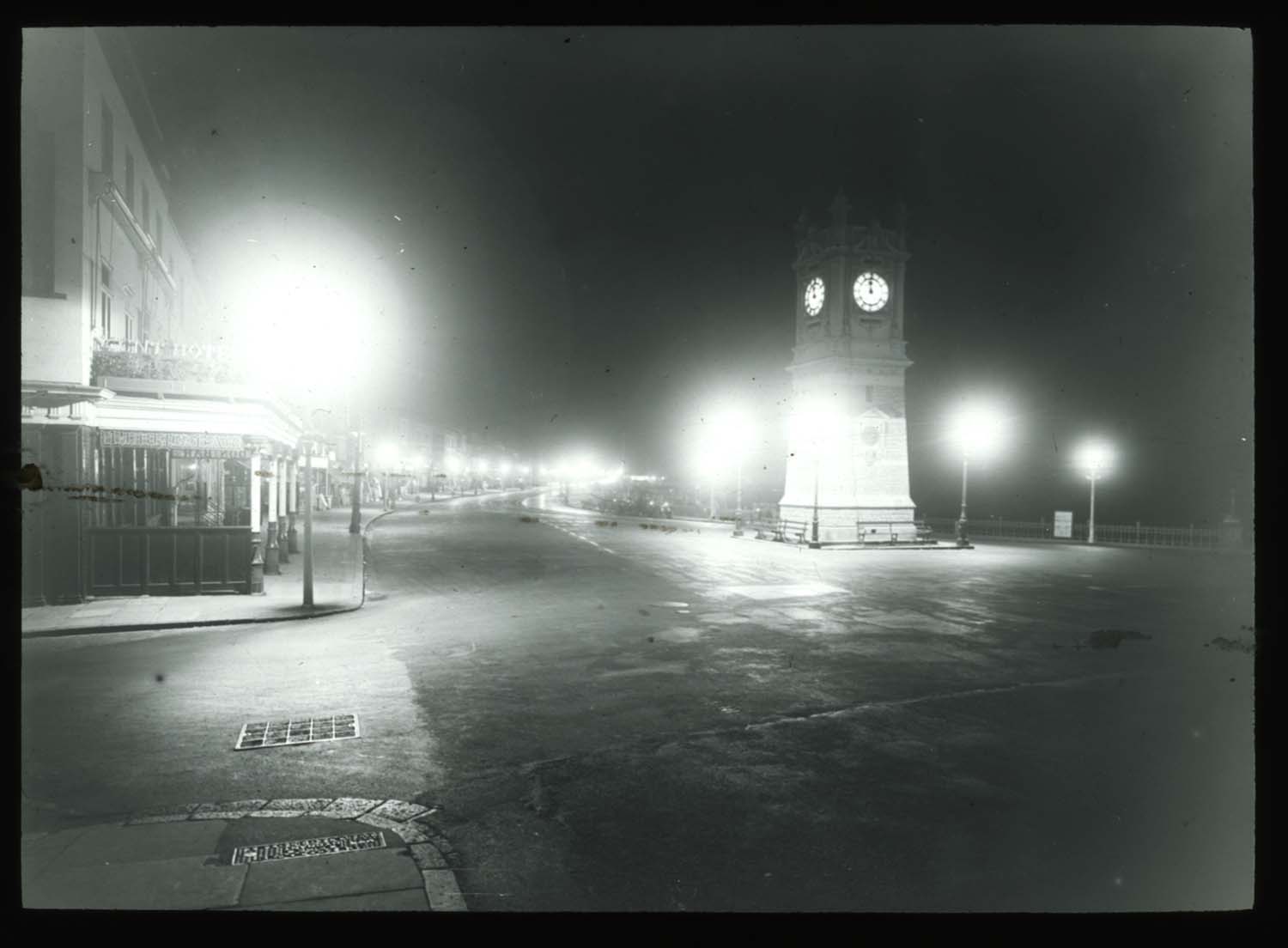
Marine Terrace and Clocktower by night [slide] |
Marine Terrace and tram |
 |
 |
 |
|
|
Marine Drive on Regatta Day |
Regatta Day Hotel Metropole |
Marine Drive under construction |
Marine Terrace and tram |
|
April 29 2012 |
|||
Prints of Margate added to Margate prints/London Publishers |
|||
|
|
||
|
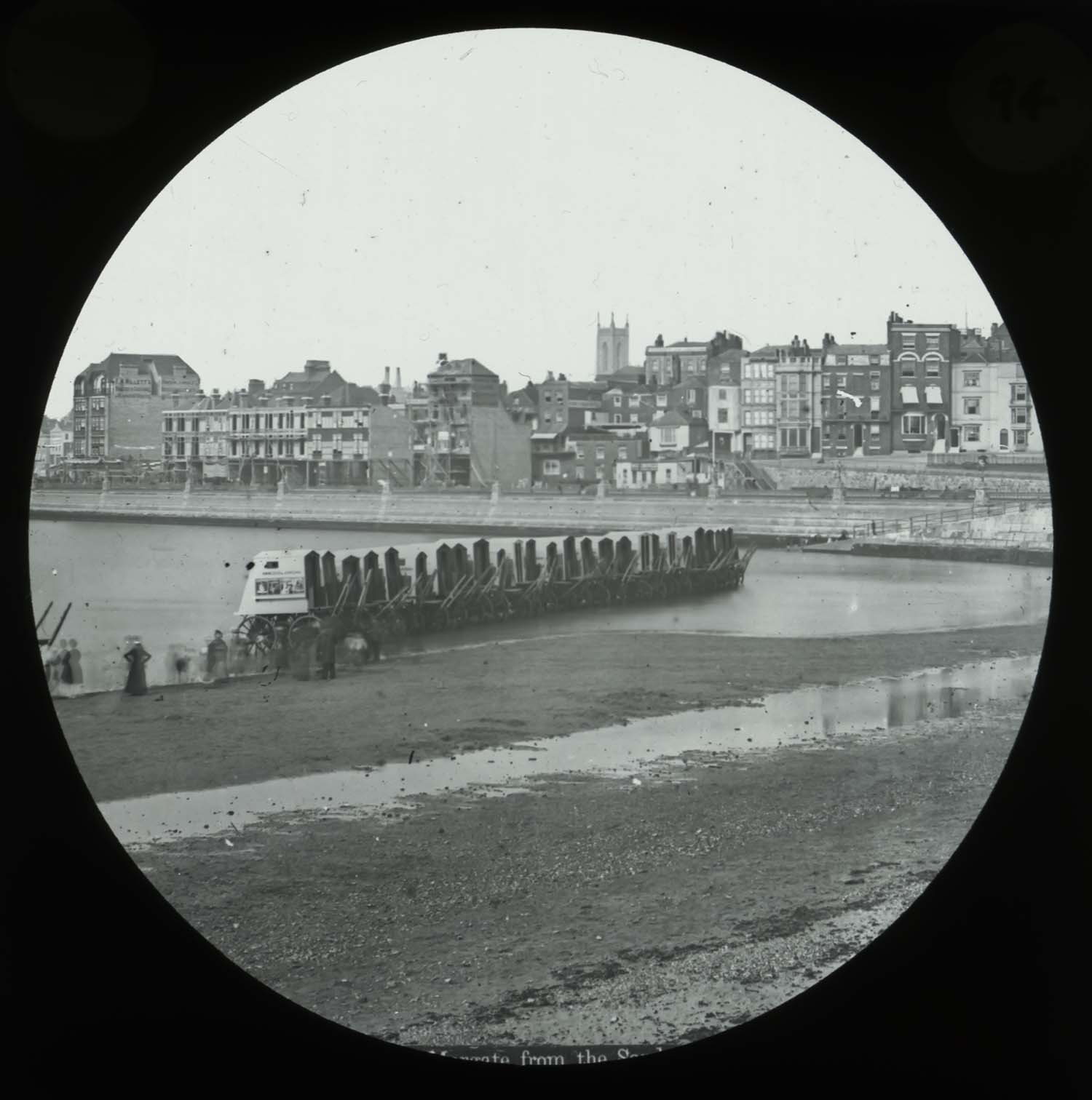
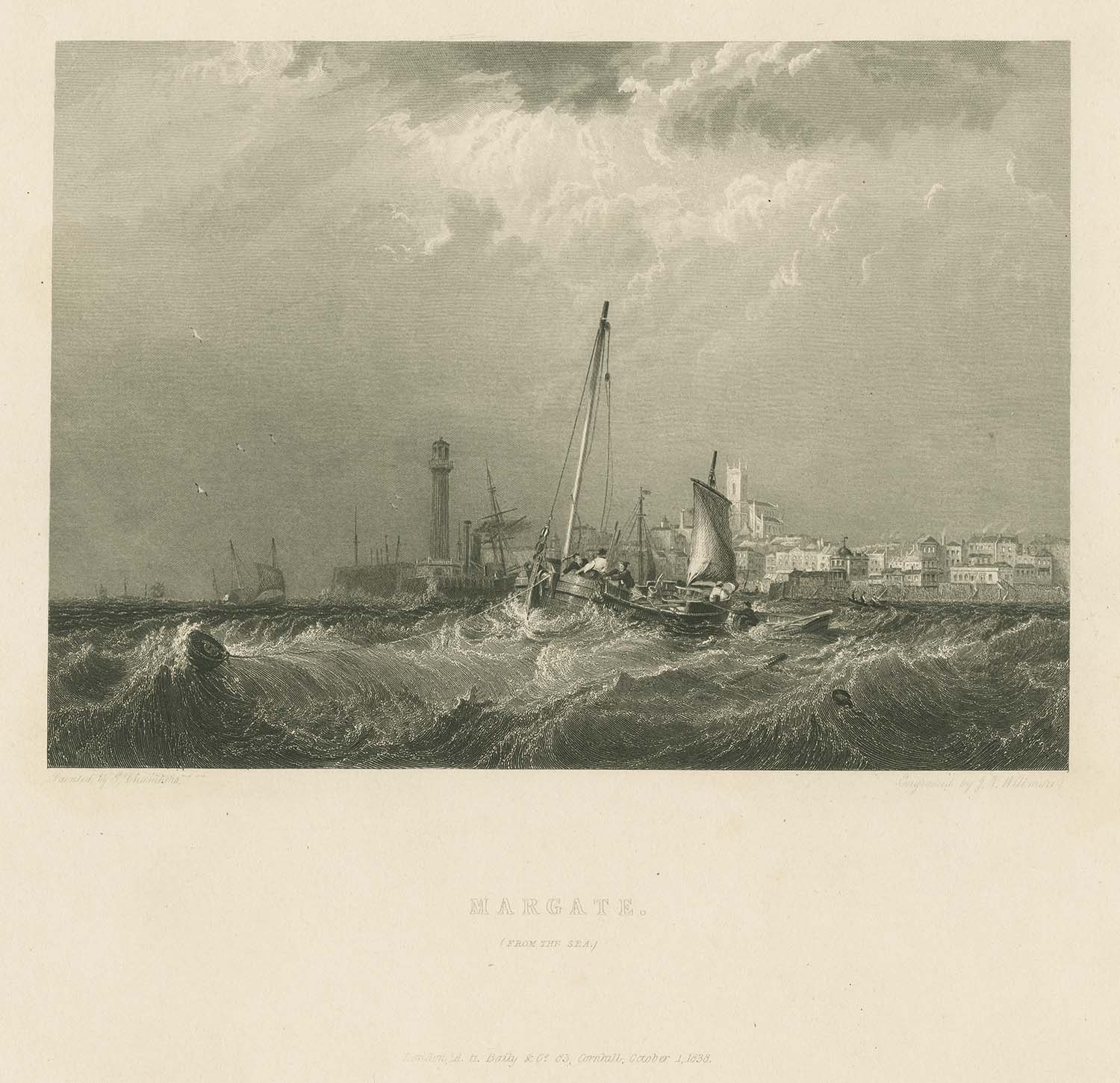
Margate from the Sea 1838 |
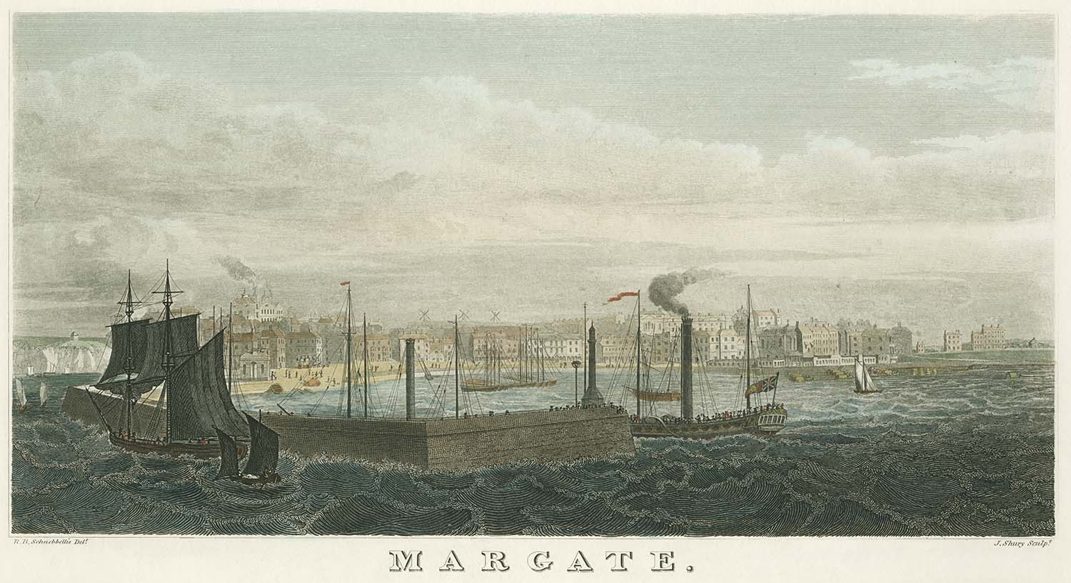
Margate Harbour 1830s |
||
![Tivoli Gardens [C Hullmandel 1830s] | Margate History](../Pictures/Prints/London-Prints/Tivoli Gardens C Hullmandel.jpg)
|
|
||
|
Tivoli Gardens 1830s |
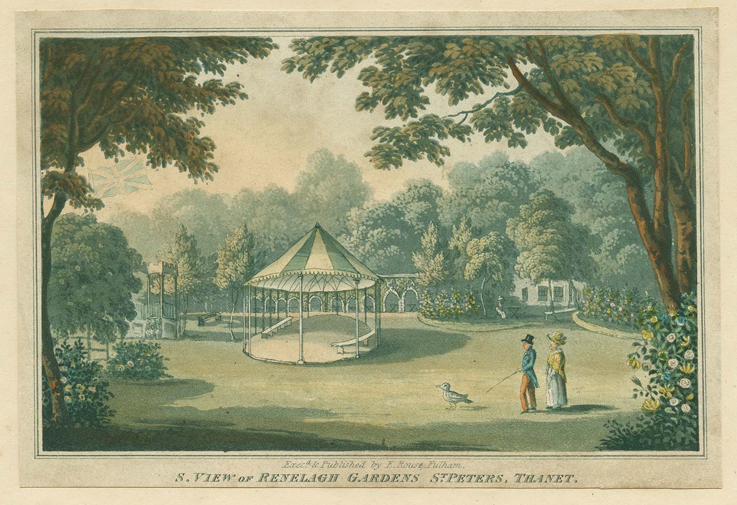
South View of Renelagh Gardens 1830s |
||
|
|
||
|
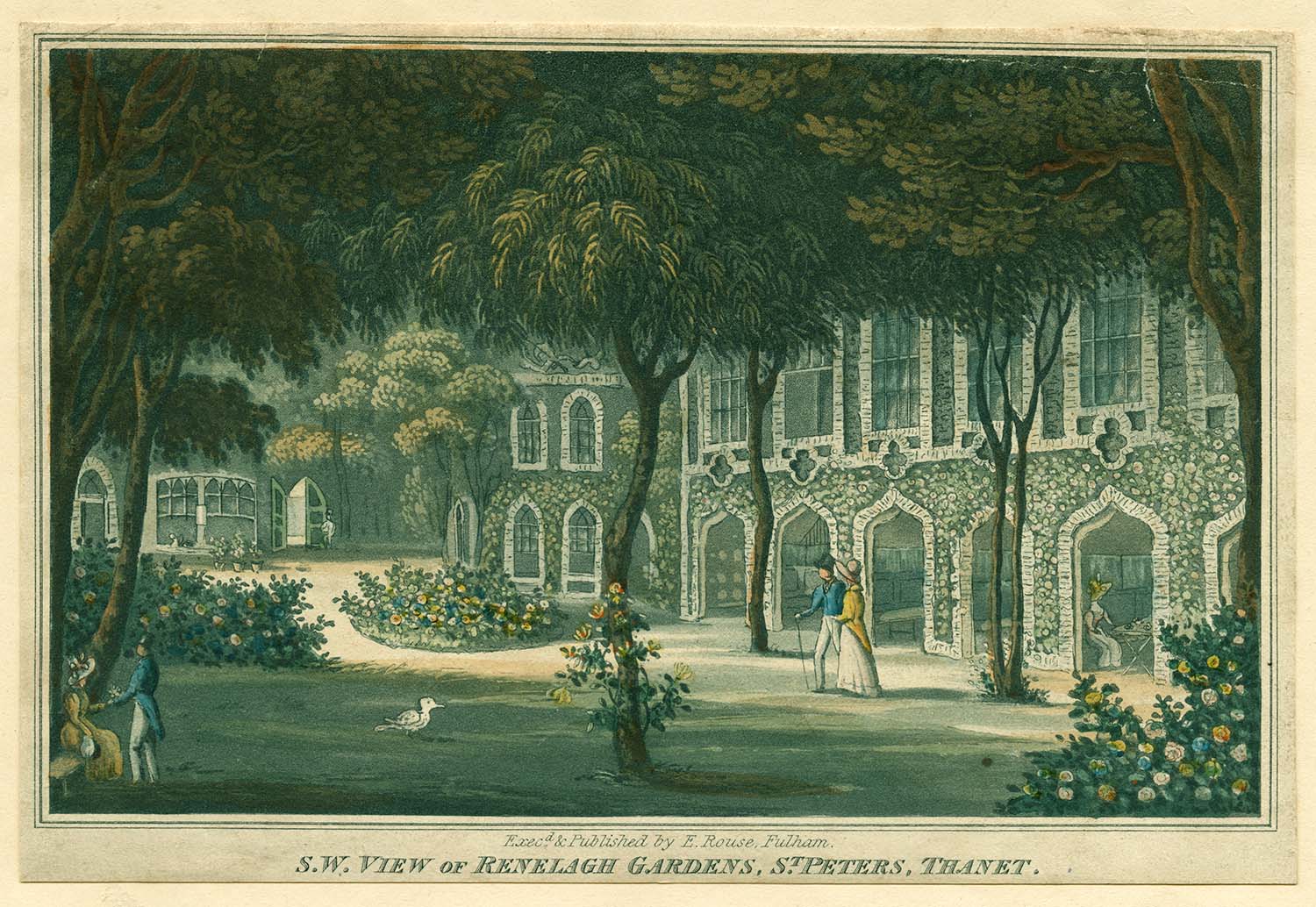
South West View of Renelagh Gardens 1830s |
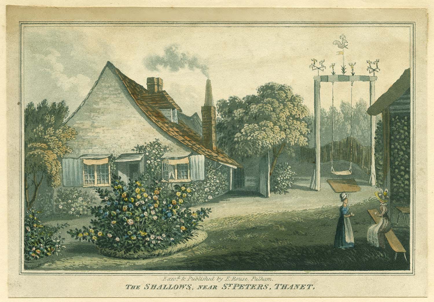
The Shallows, near St. Peter's Thanet 1830s |
||
|
|||
|
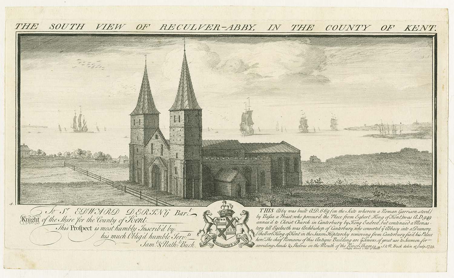
South View of Reculver Abby [1735] |
|||
|
April 27 2012 |
|||
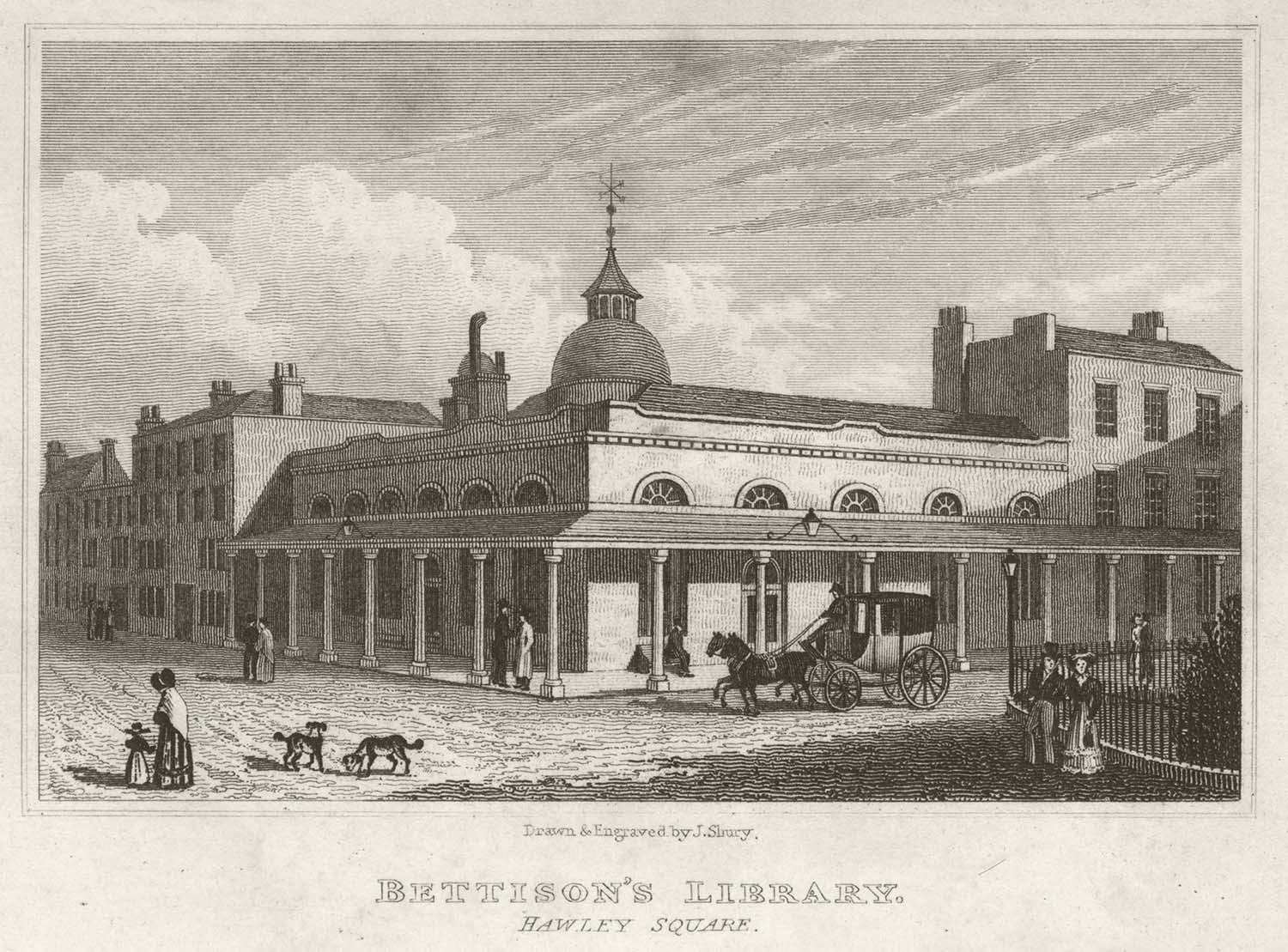
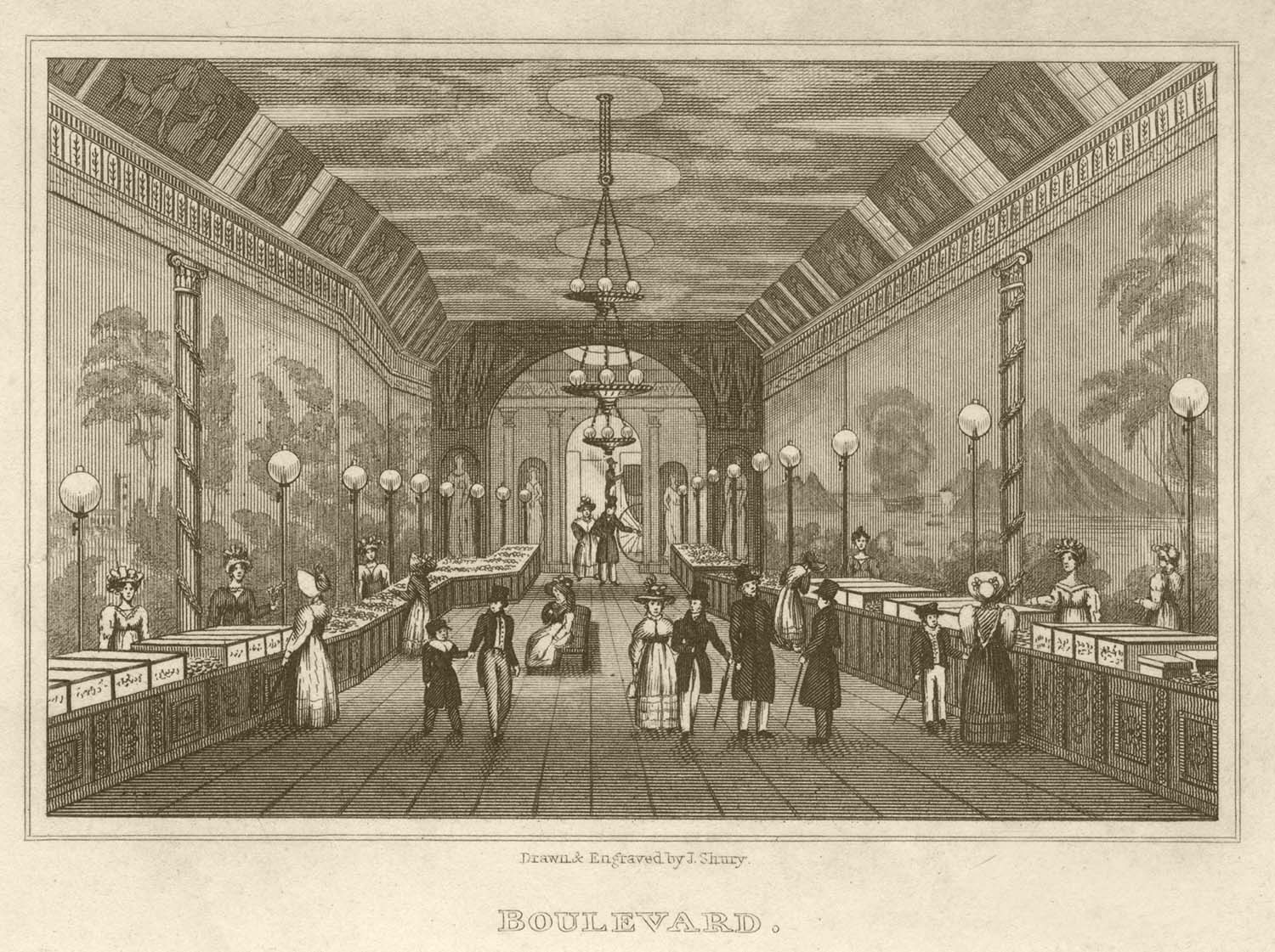
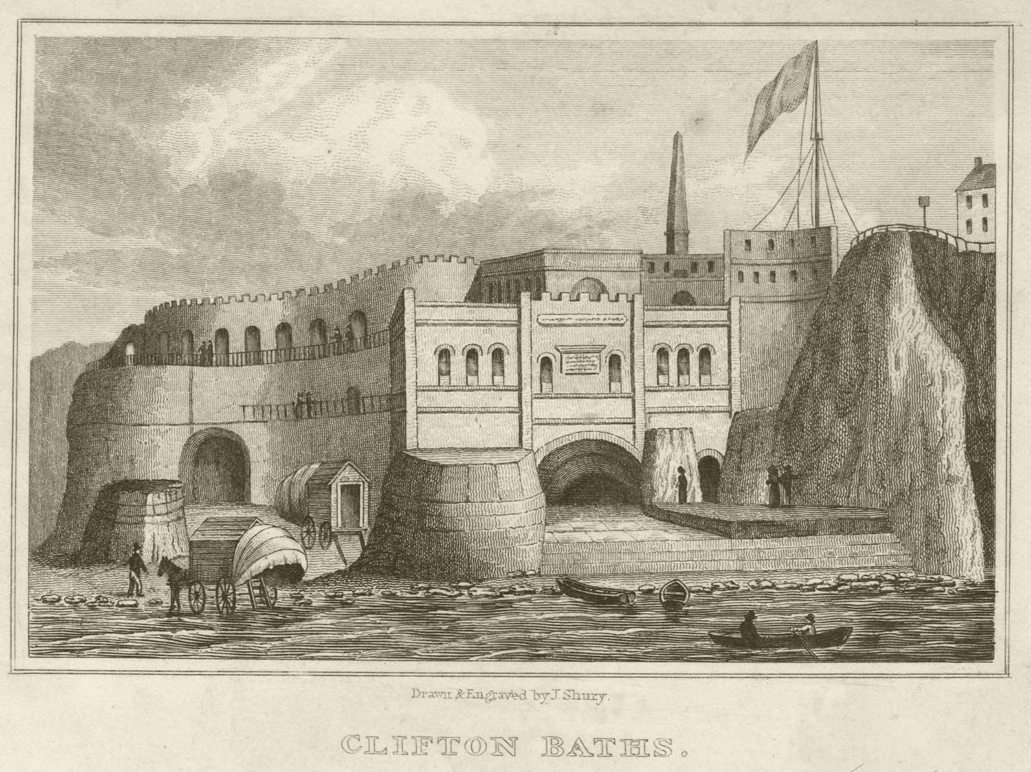
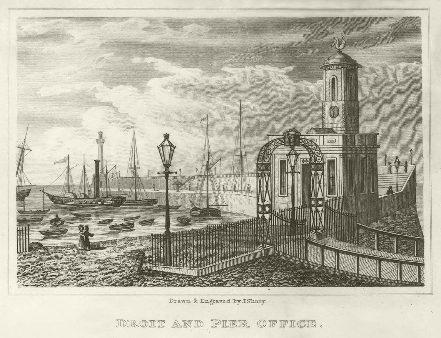
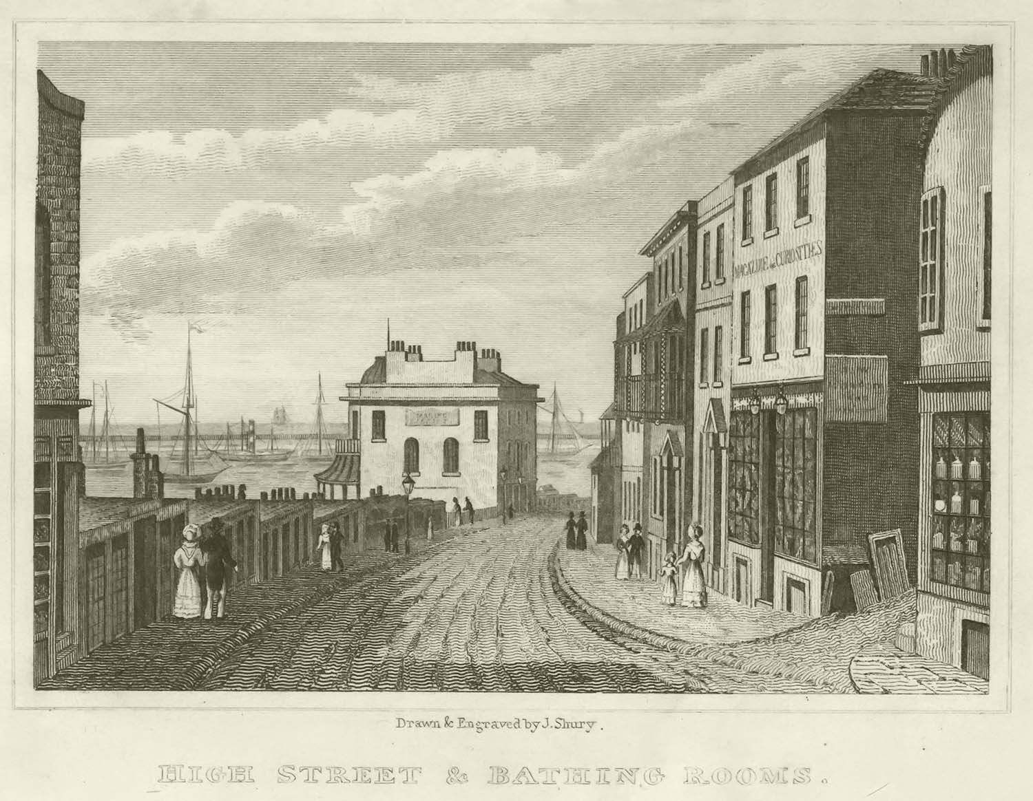
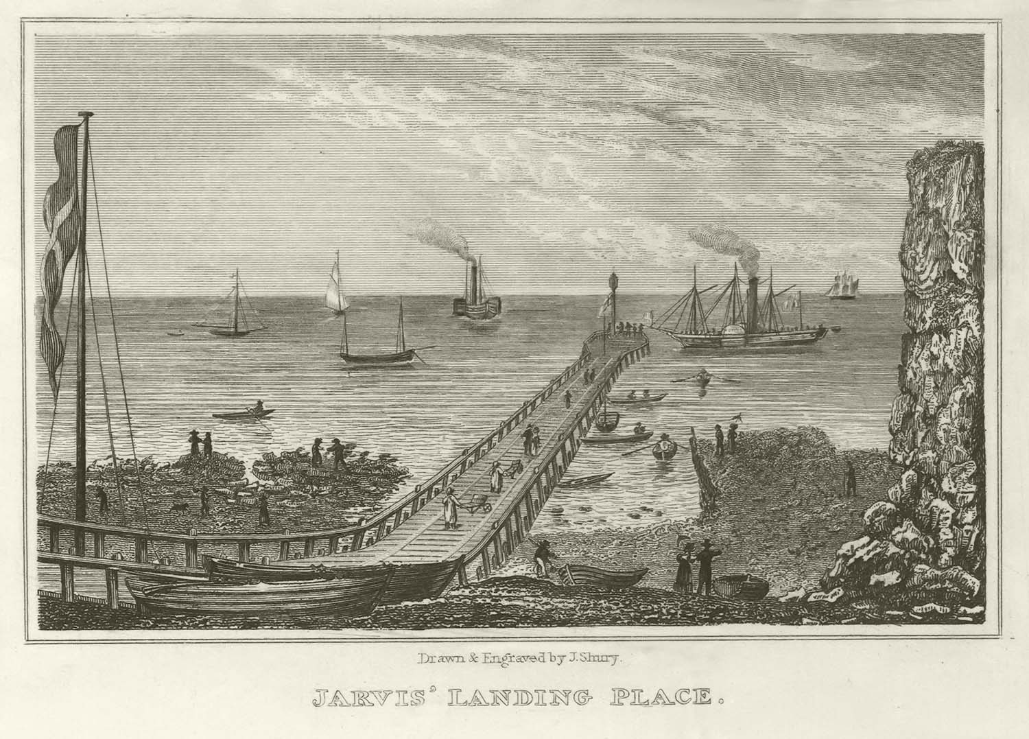
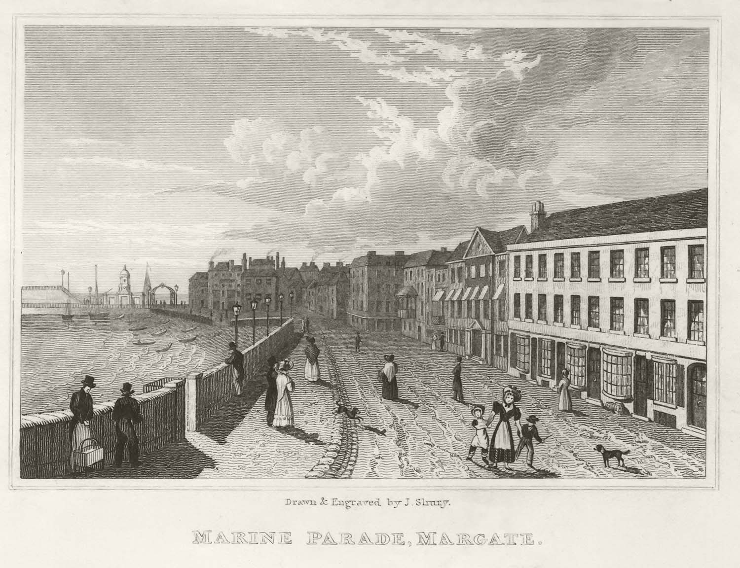
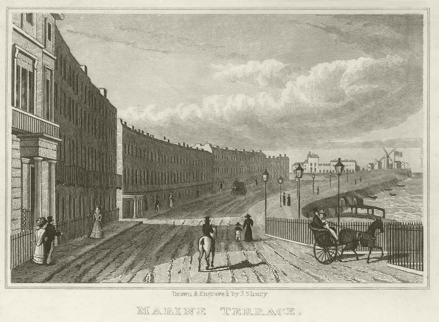
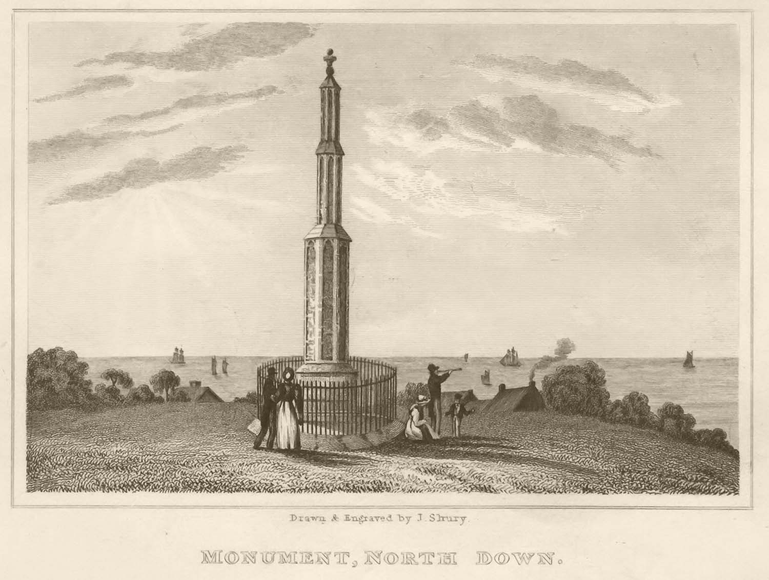
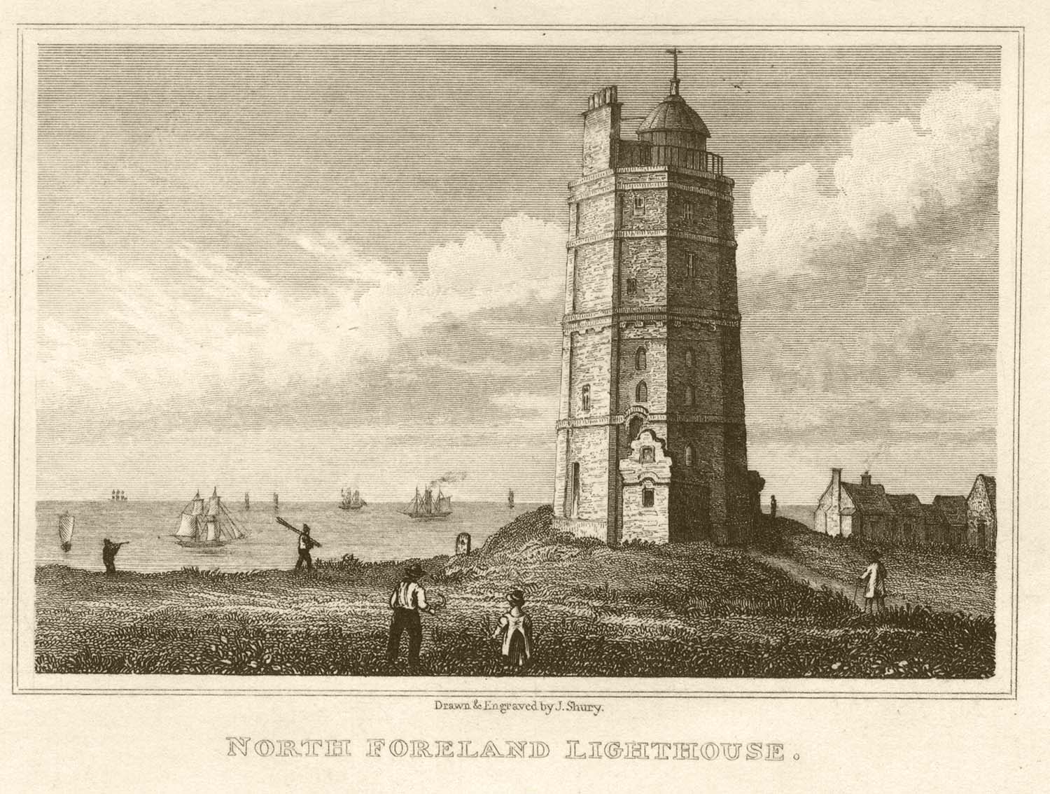
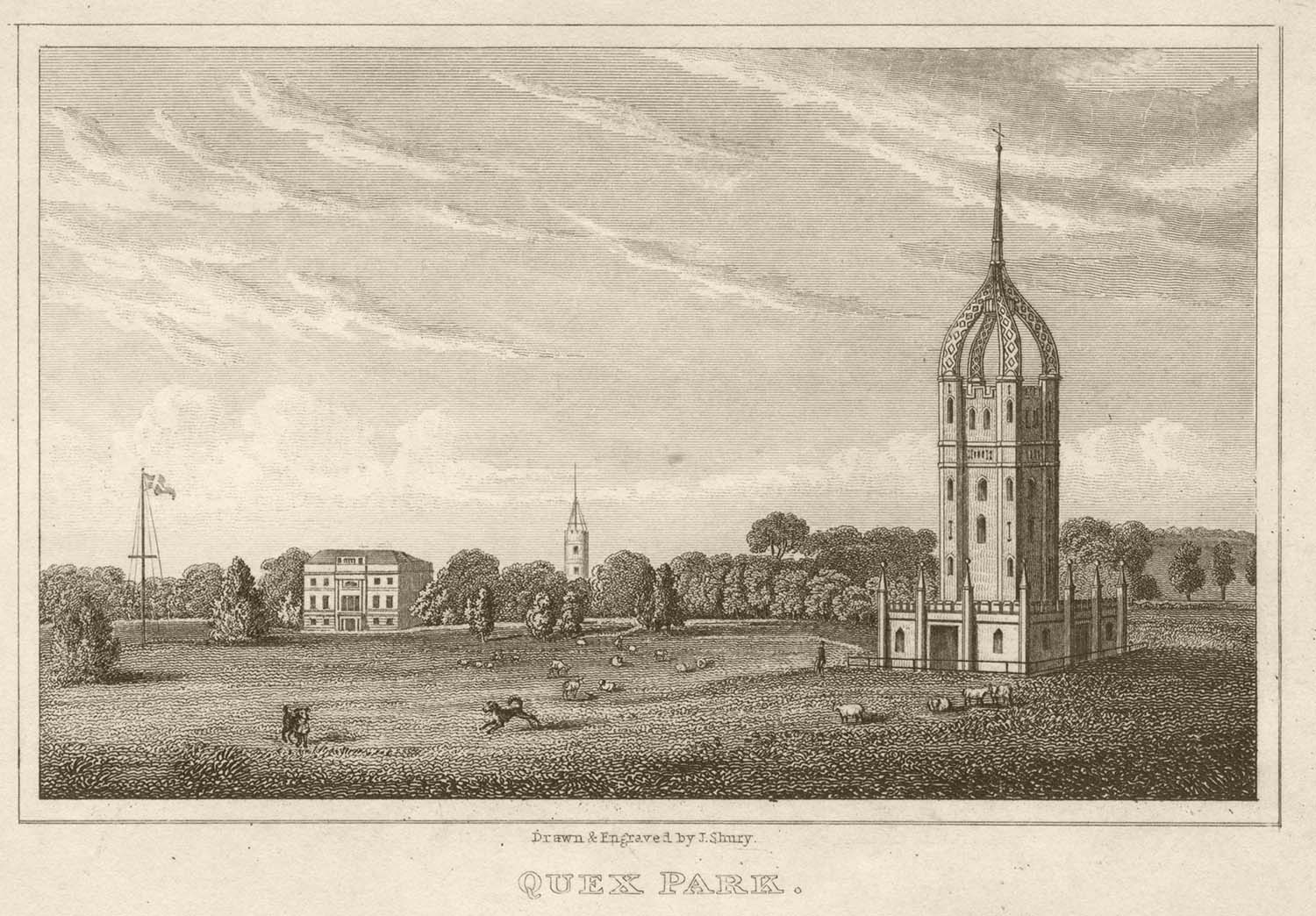
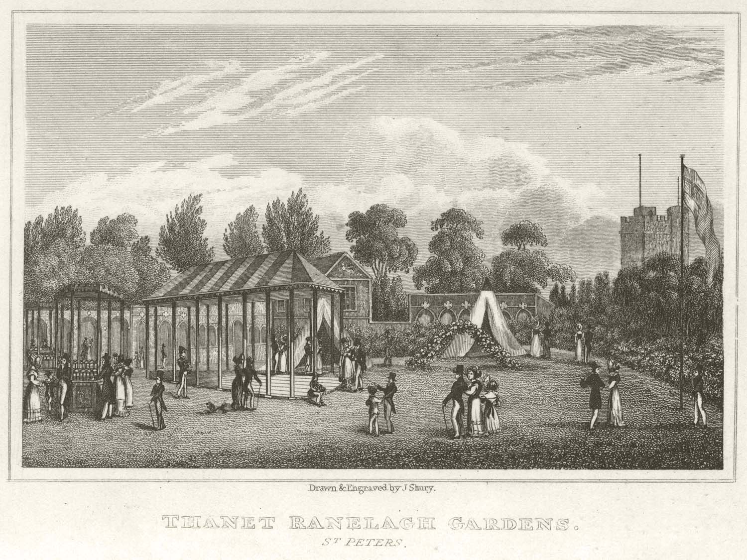
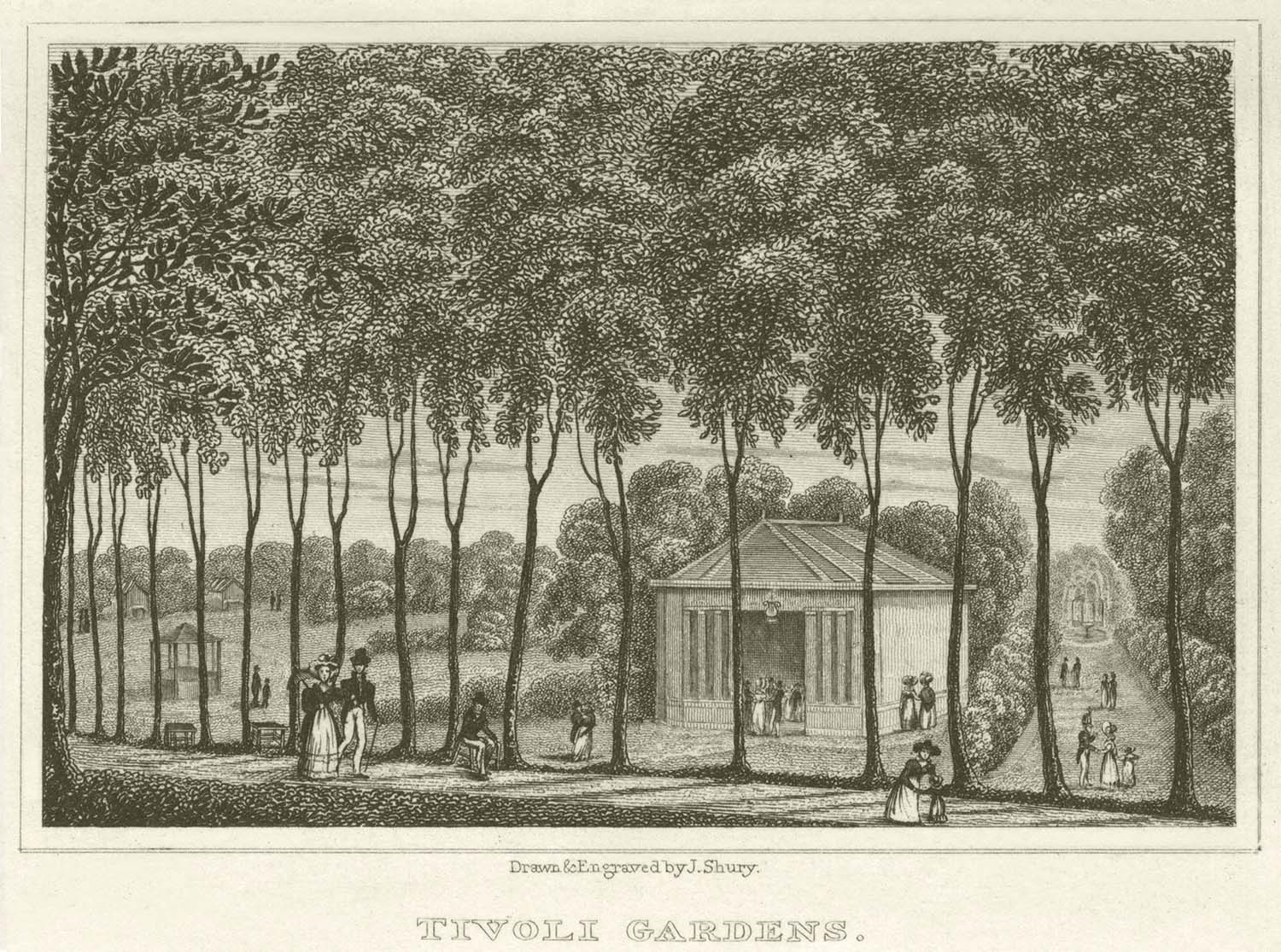
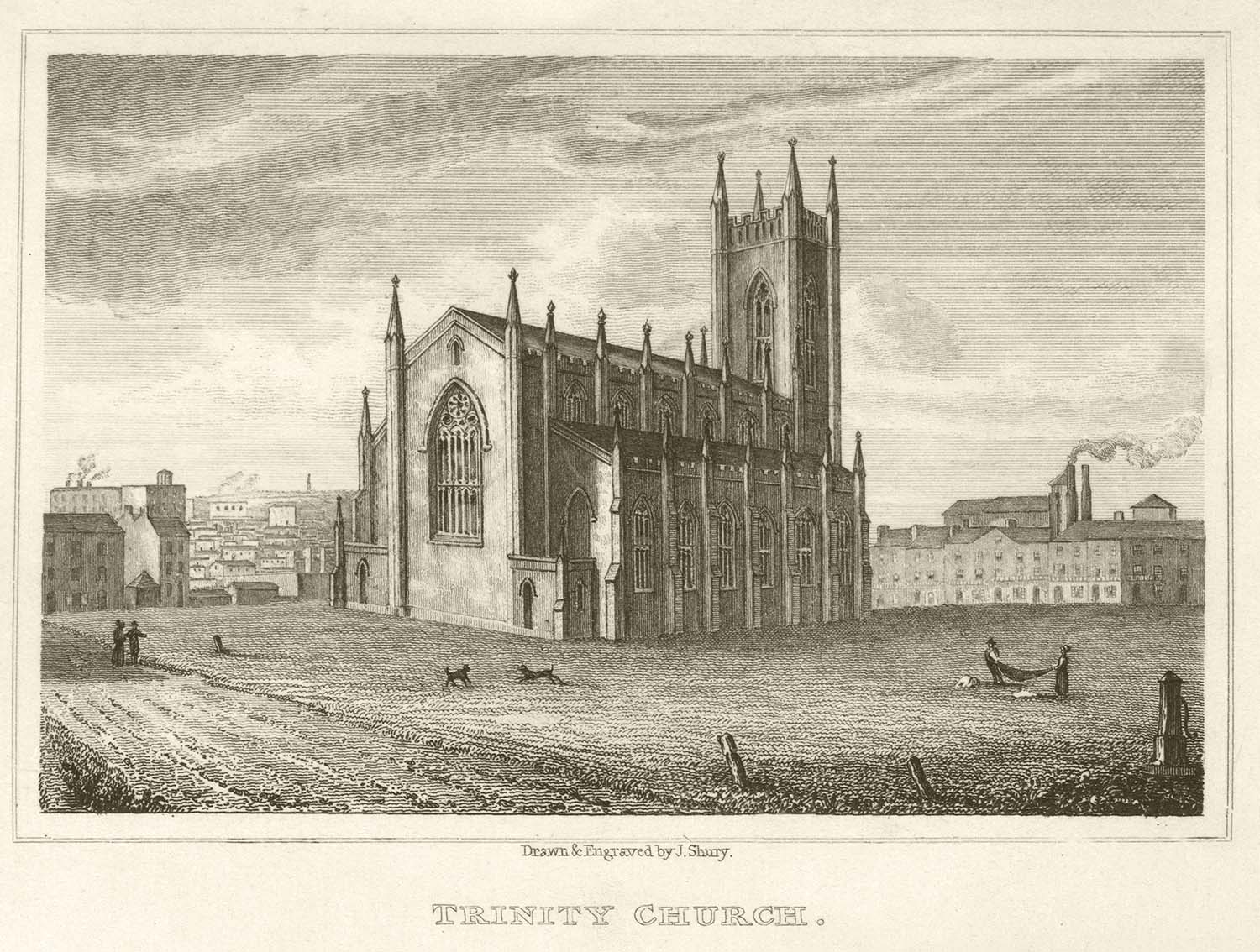
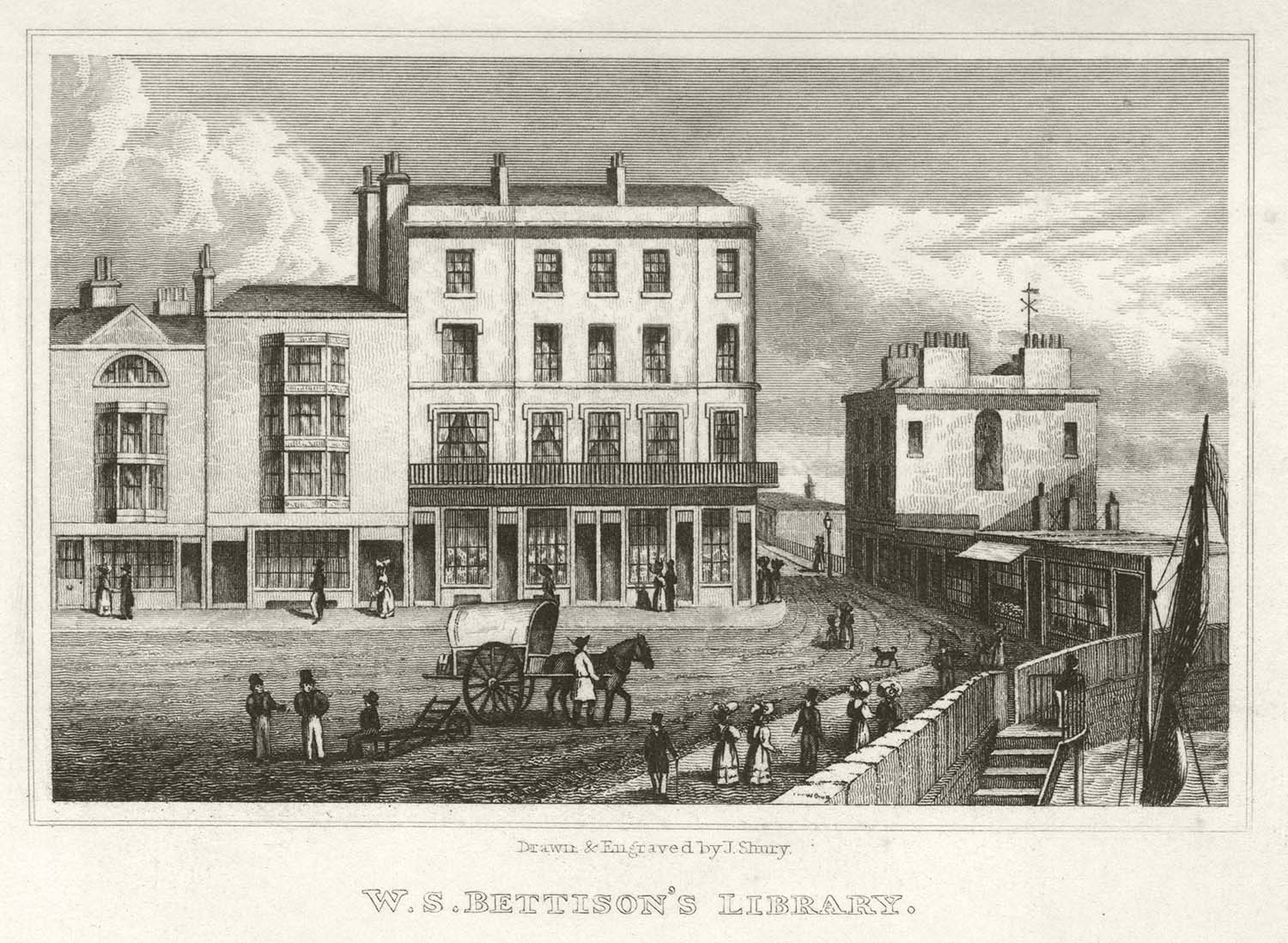
Engravings Added to Margate Prints/Books: Guide Books and to Edmund's 1821 map of Margate, taken from Margate Ramsgate and Broadstairs Illustrated, by J. Shury [ca 1834] |
|||
|
|
|
|
|
Bettison Library Hawley Square [ca 1834] |
Boulevard [ca 1834] |
Clifton Baths [ca 1834] |
Droit and Pier Office [ca 1834] |
|
|
|
|
|
High street and Bathing Rooms [ca 1834] |
Jarvis landing place [ca 1834] |
Marine Parade [ca 1834] |
Marine Terrace [ca 1834] |
|

|
|
|
|
Monument North Down [ca 1834] |
No mans land [ca 1834] |
North Foreland [ca 1834] |
Quex Park [ca 1834] |
|
|
|
|
|
Ranelagh Gardens [ca 1834] |
Tivoli Gardens [ca 1834] |
Trinity Church [ca 1834] |
WS Bettison Library [ca 1834] |
|
April 22 2012 |
|||
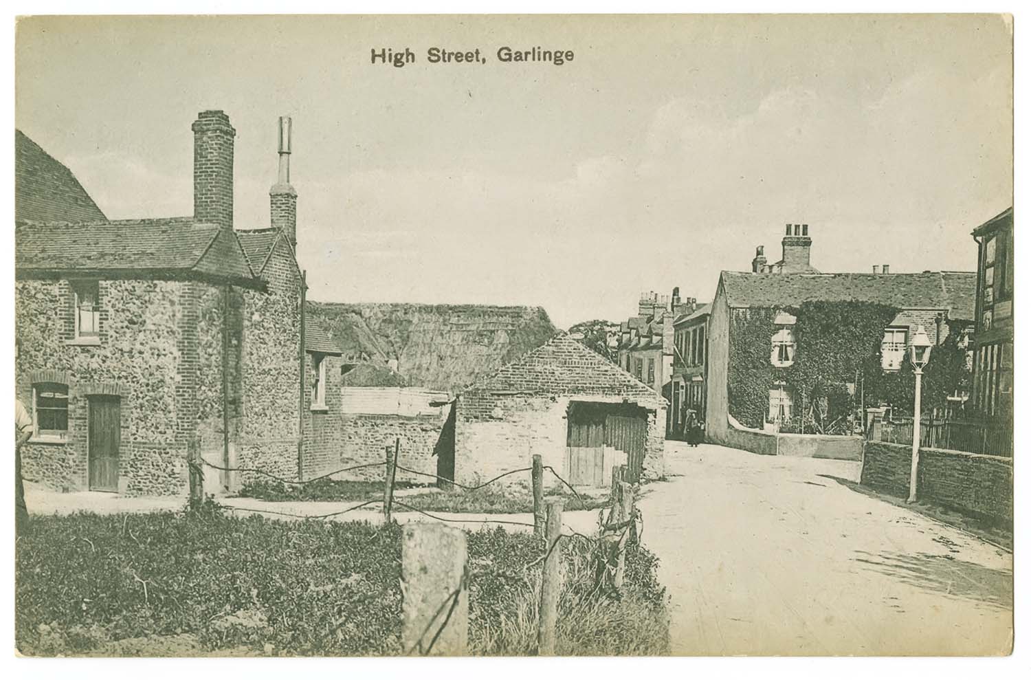
Postcards of Garlinge/Westgate added to the 1907 Ordnance Survey Map of Margate. |
|||
 |
 |
 |
 |
|
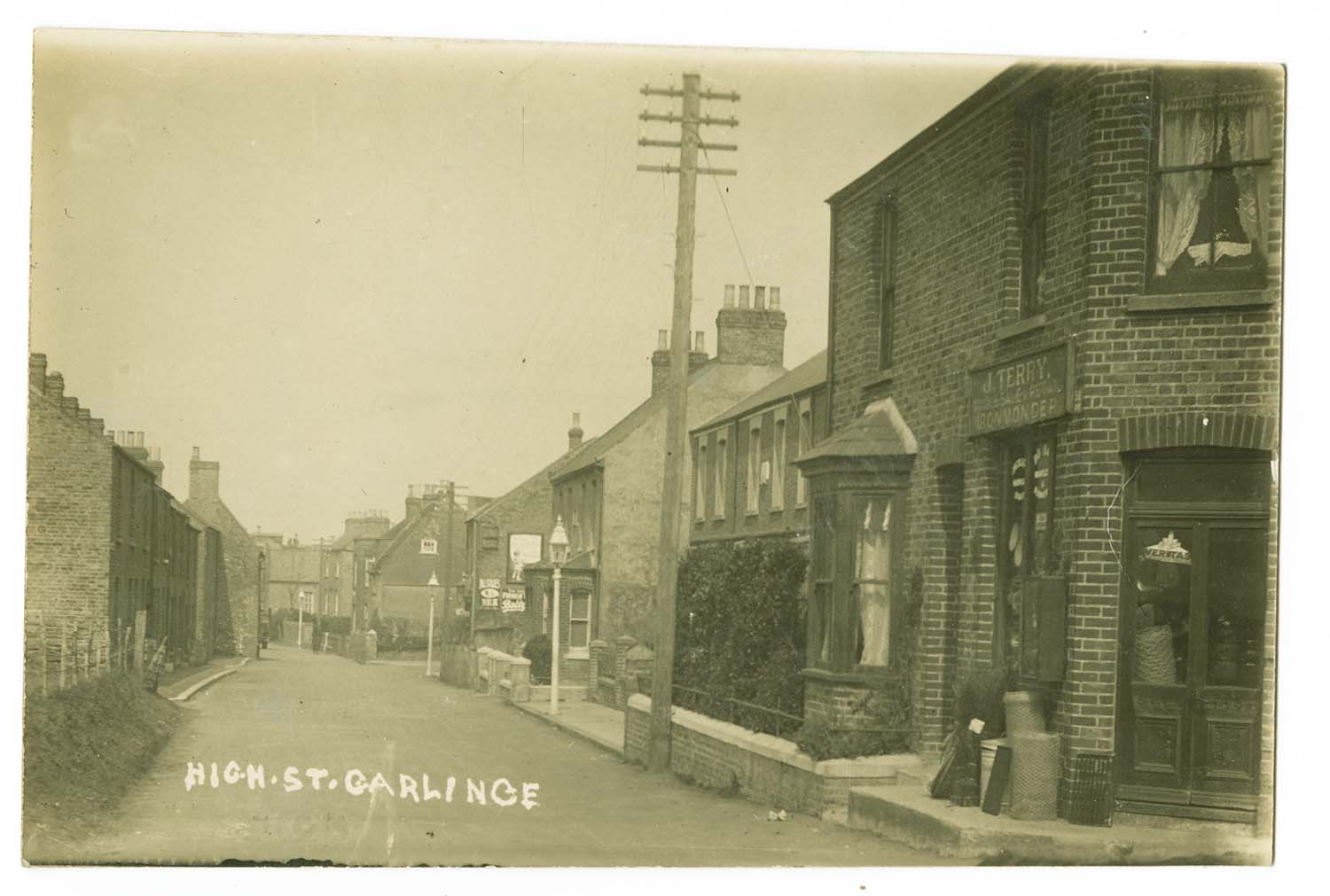
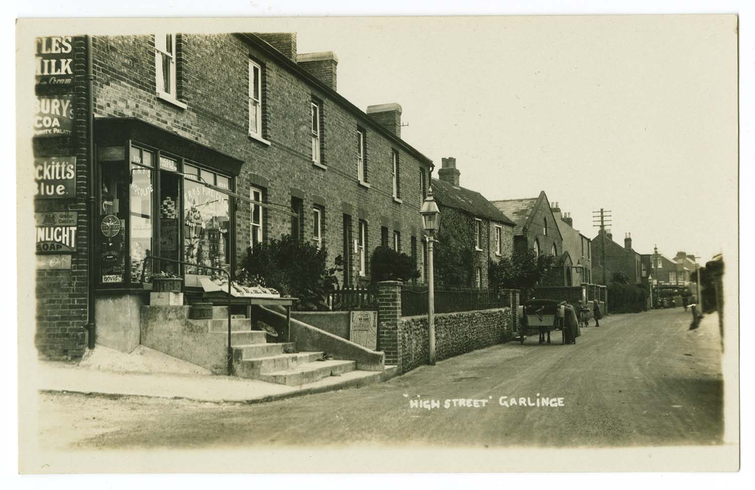
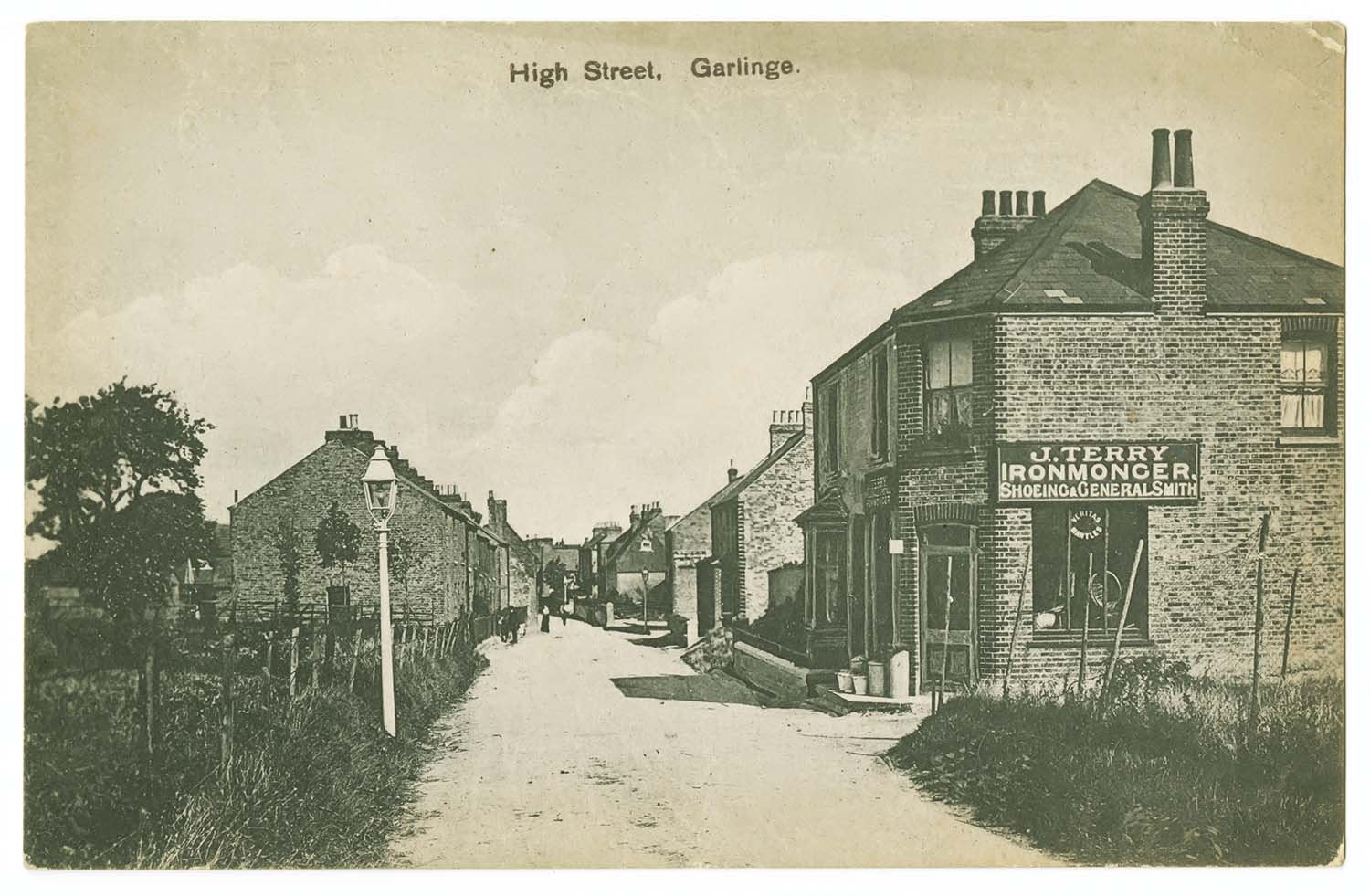
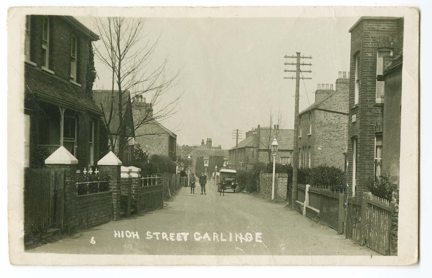
High Street |
High Street |
High Street |
High Street |
 |
 |
 |
 |
|
High Street 1932 |
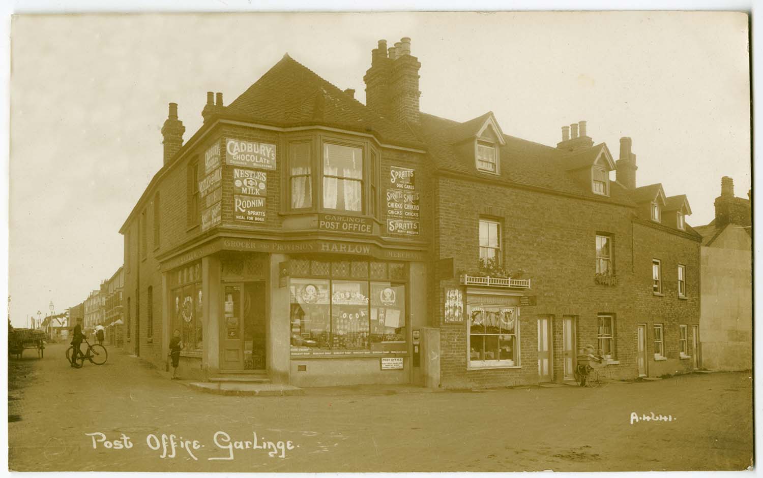
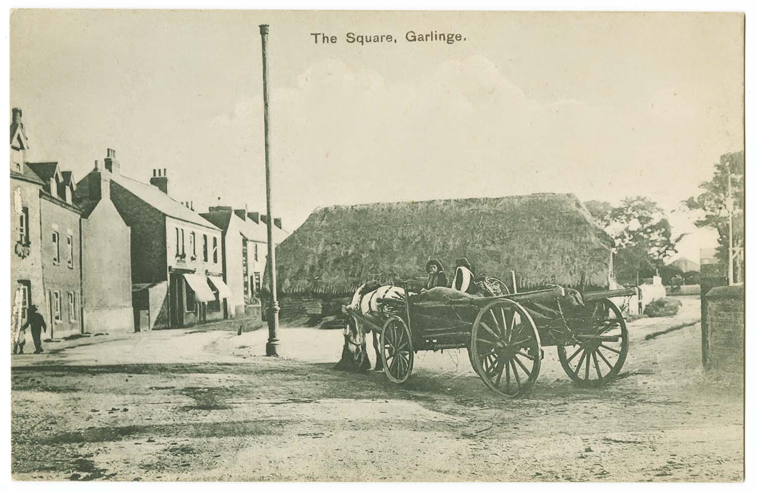
The Square/Post Office 1914 |
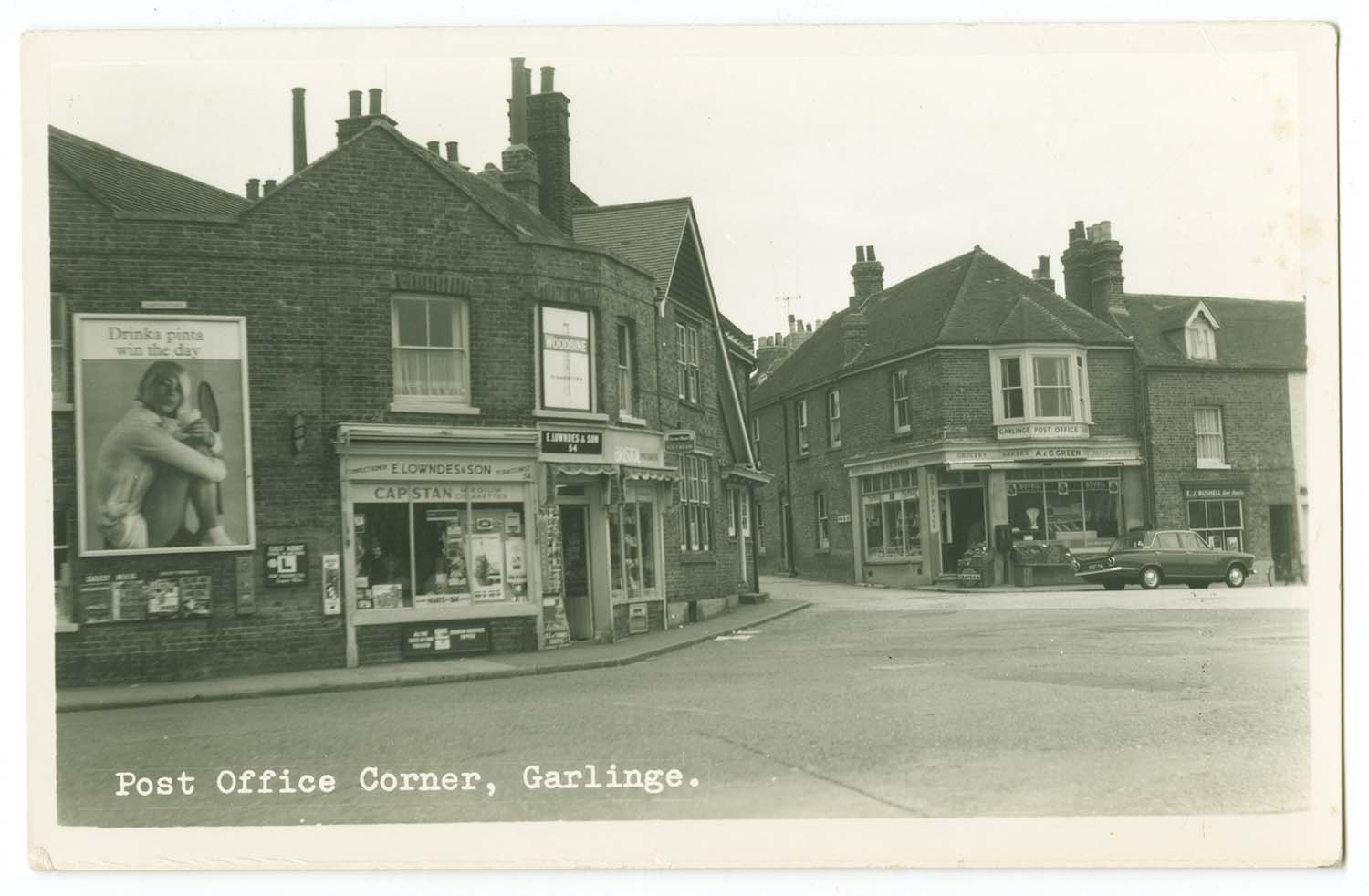
Post Office Corner |
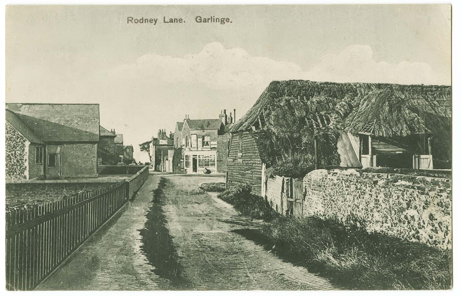
Rodney Lane 1912 |
 |
 |
 |
 |
|
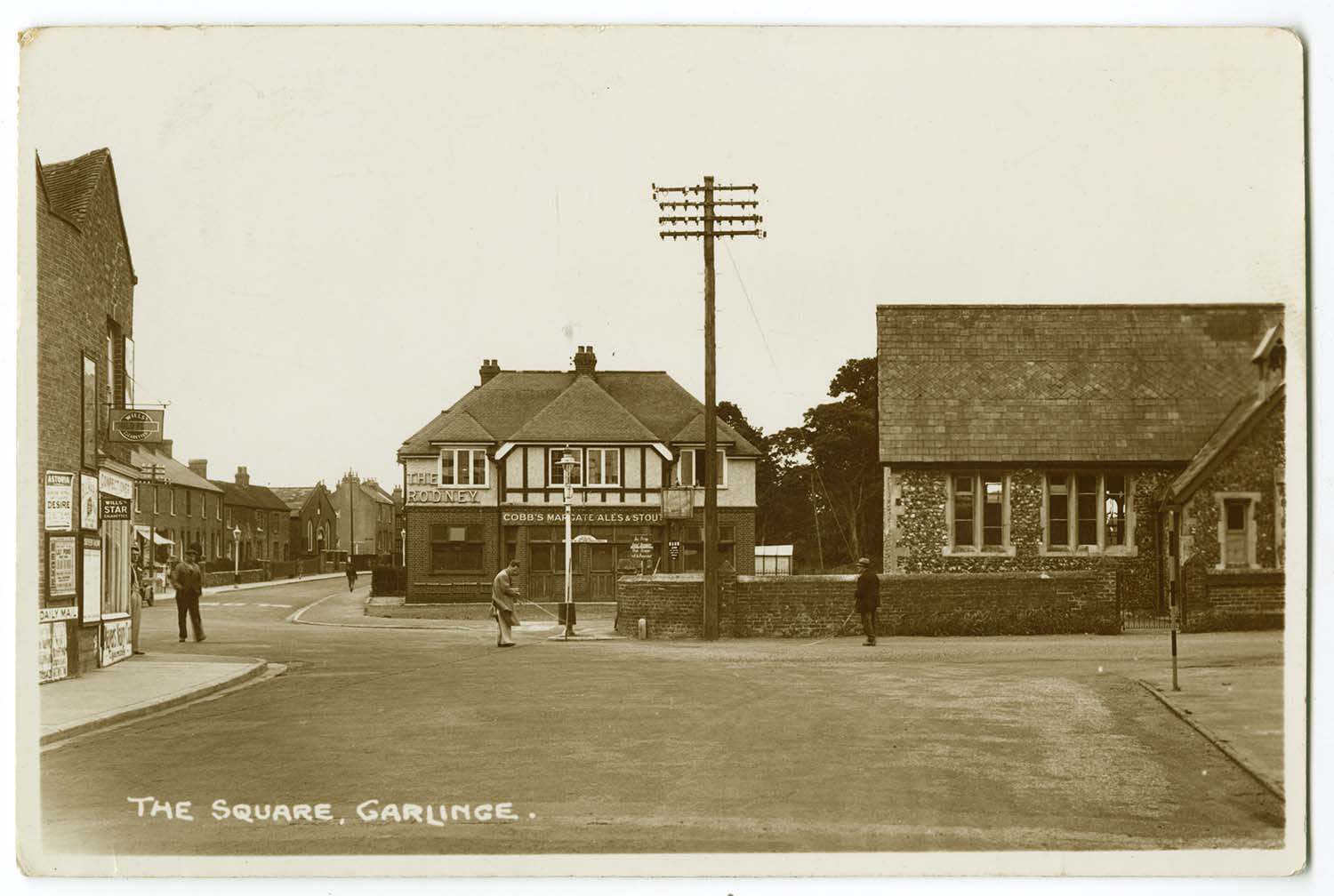
The Square/The Rodney |
The Square |
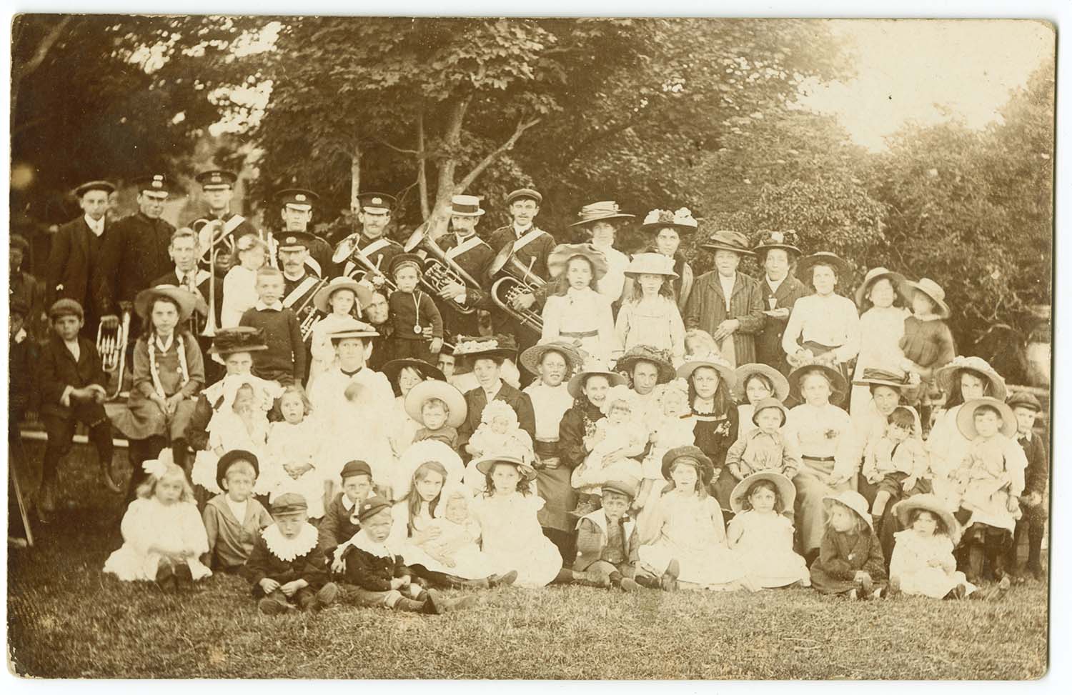
Garlinge Band |
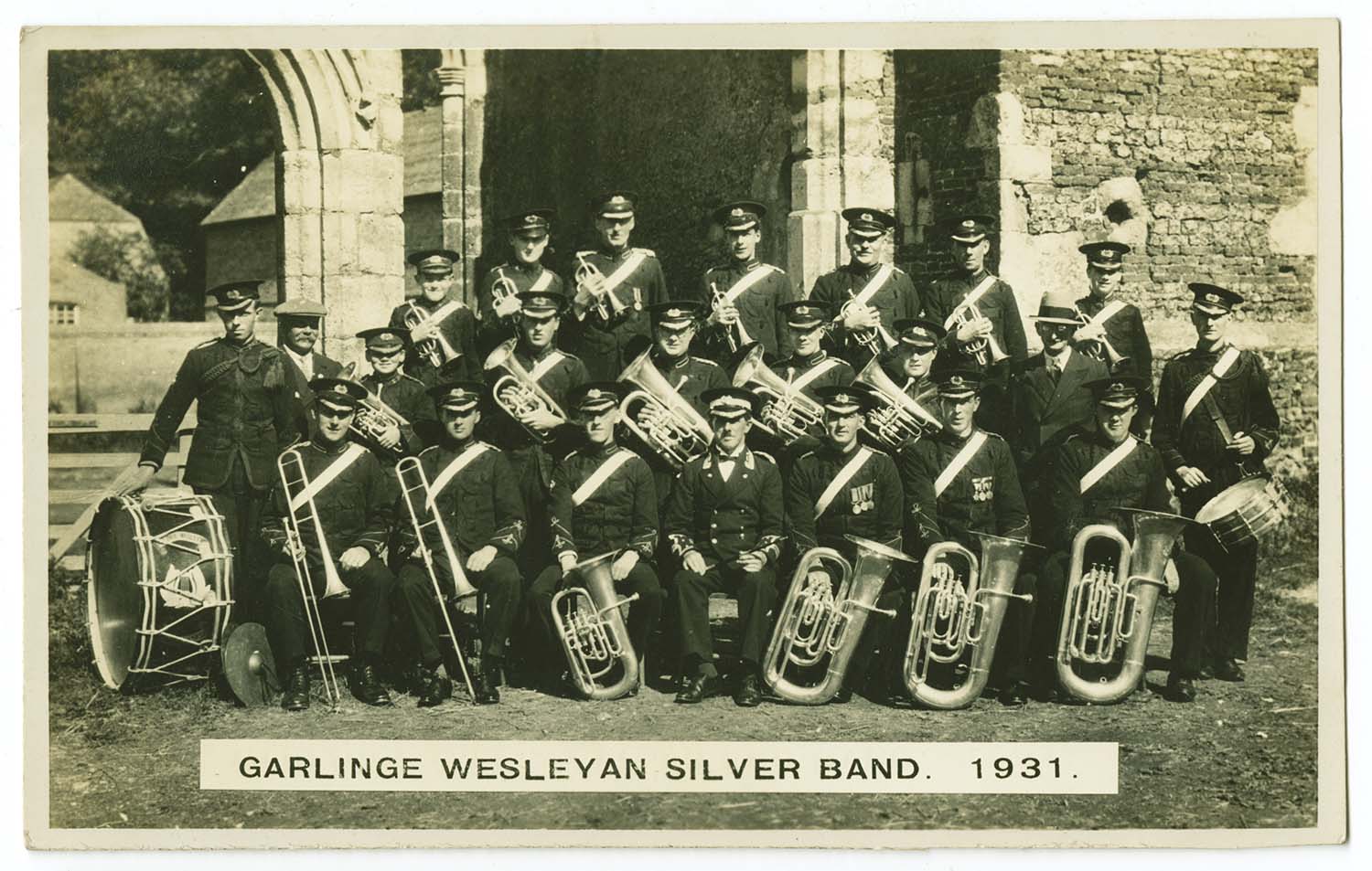
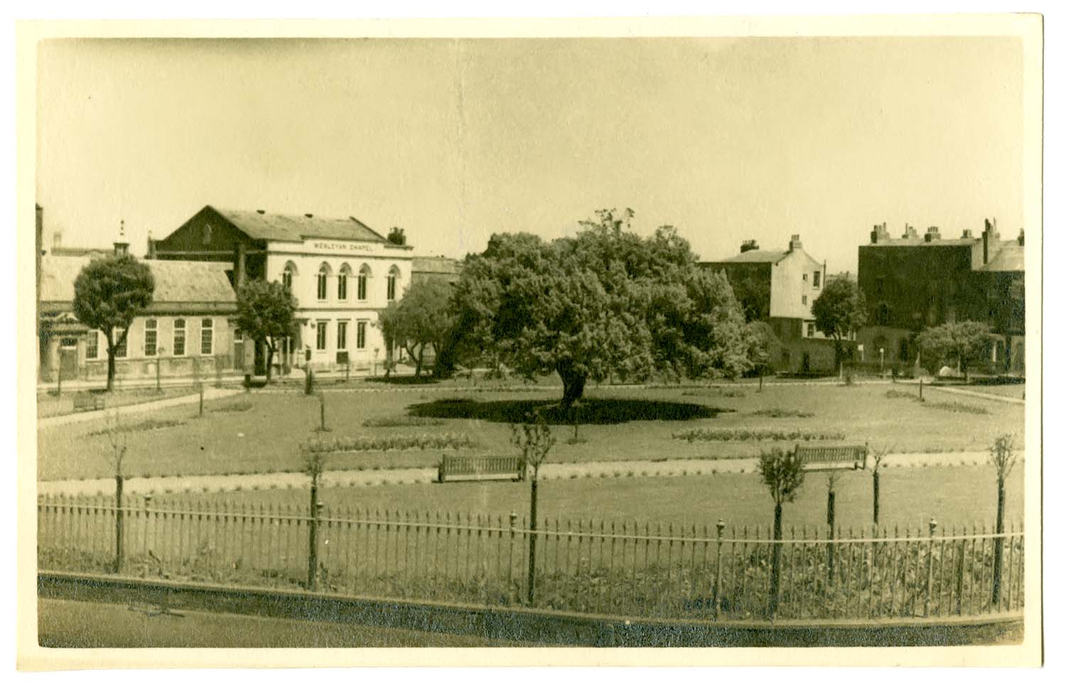
Wesleyan Band 1931 |
 |
 |
 |
|
|
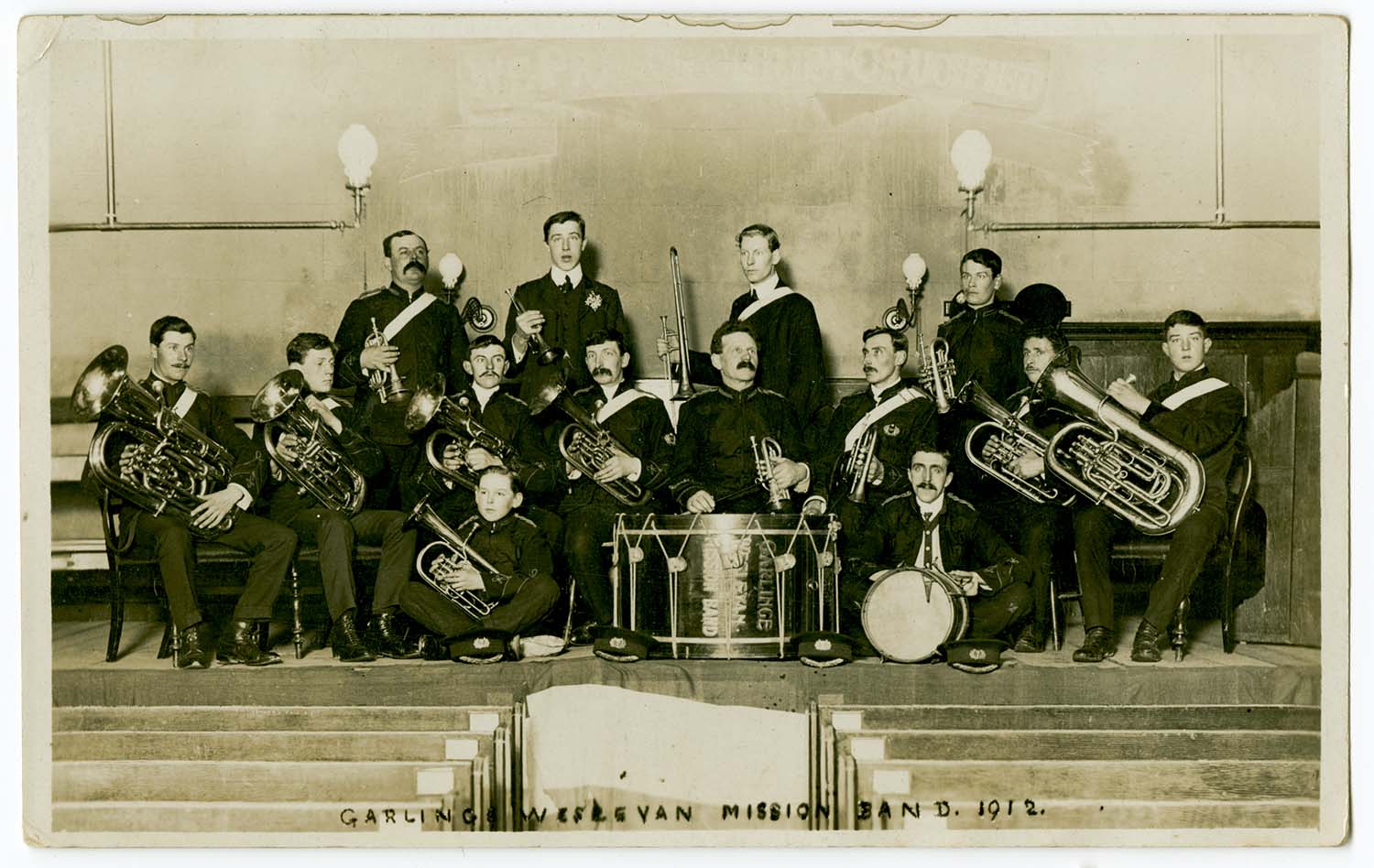
Wesleyan Mission Band 1912 |
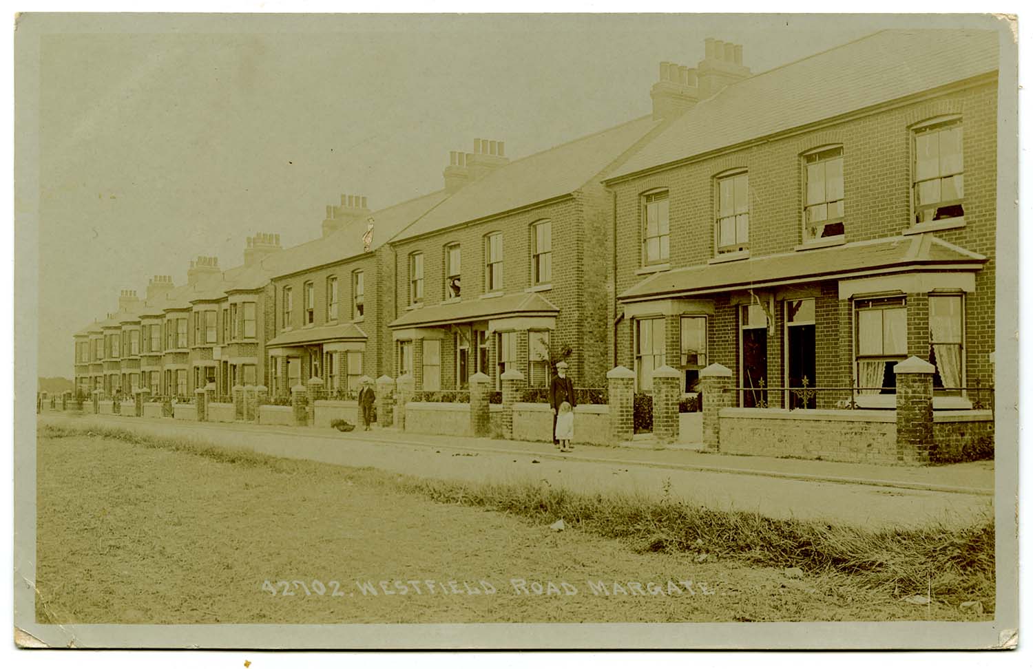
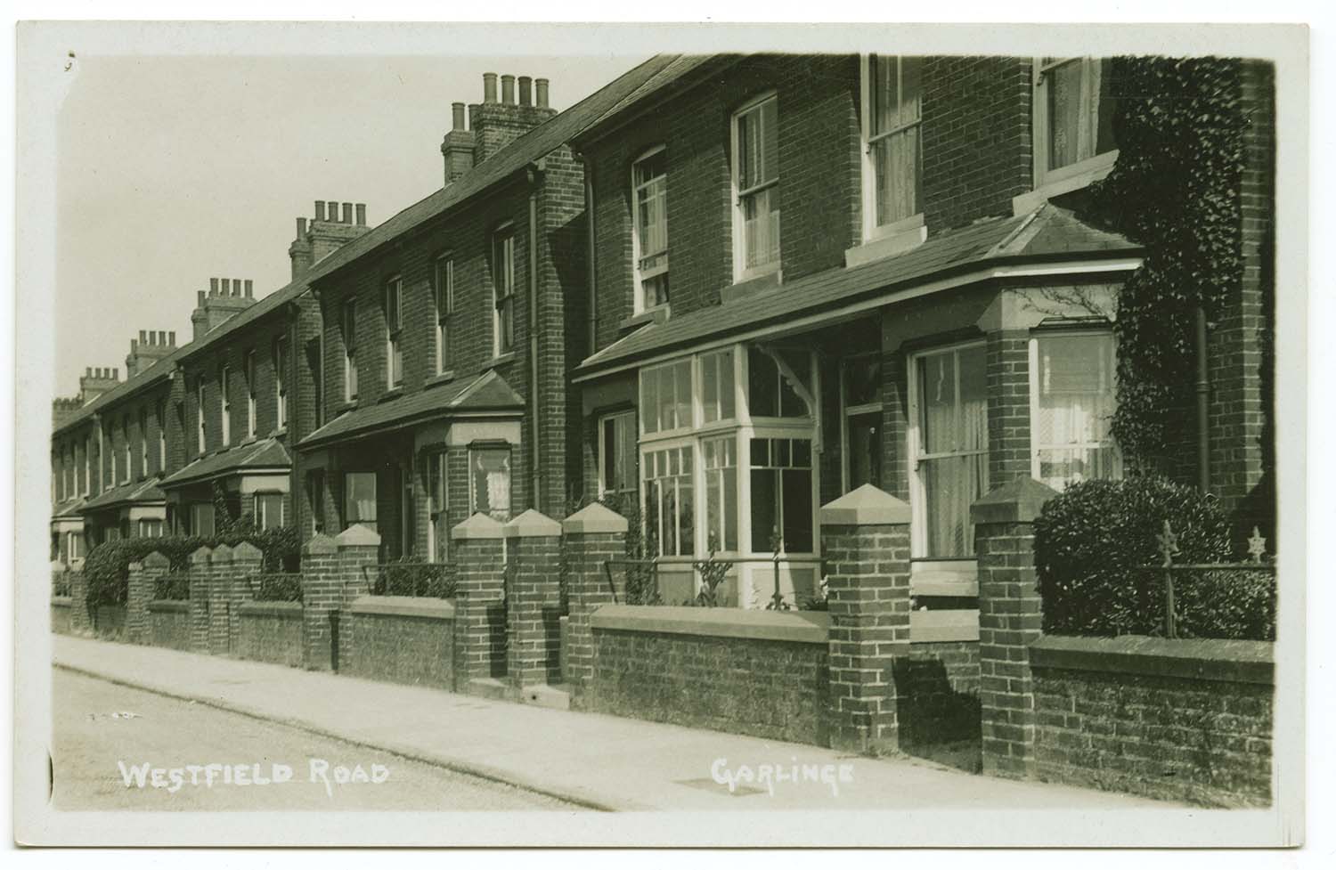
Westfield Road [Bell Photos] |
Westfield Road |
|
|
April 20 2012 |
|||
Postcards added to the 1907 Ordnance Survey Map of Margate. |
|||
 |
 |
 |
 |
|
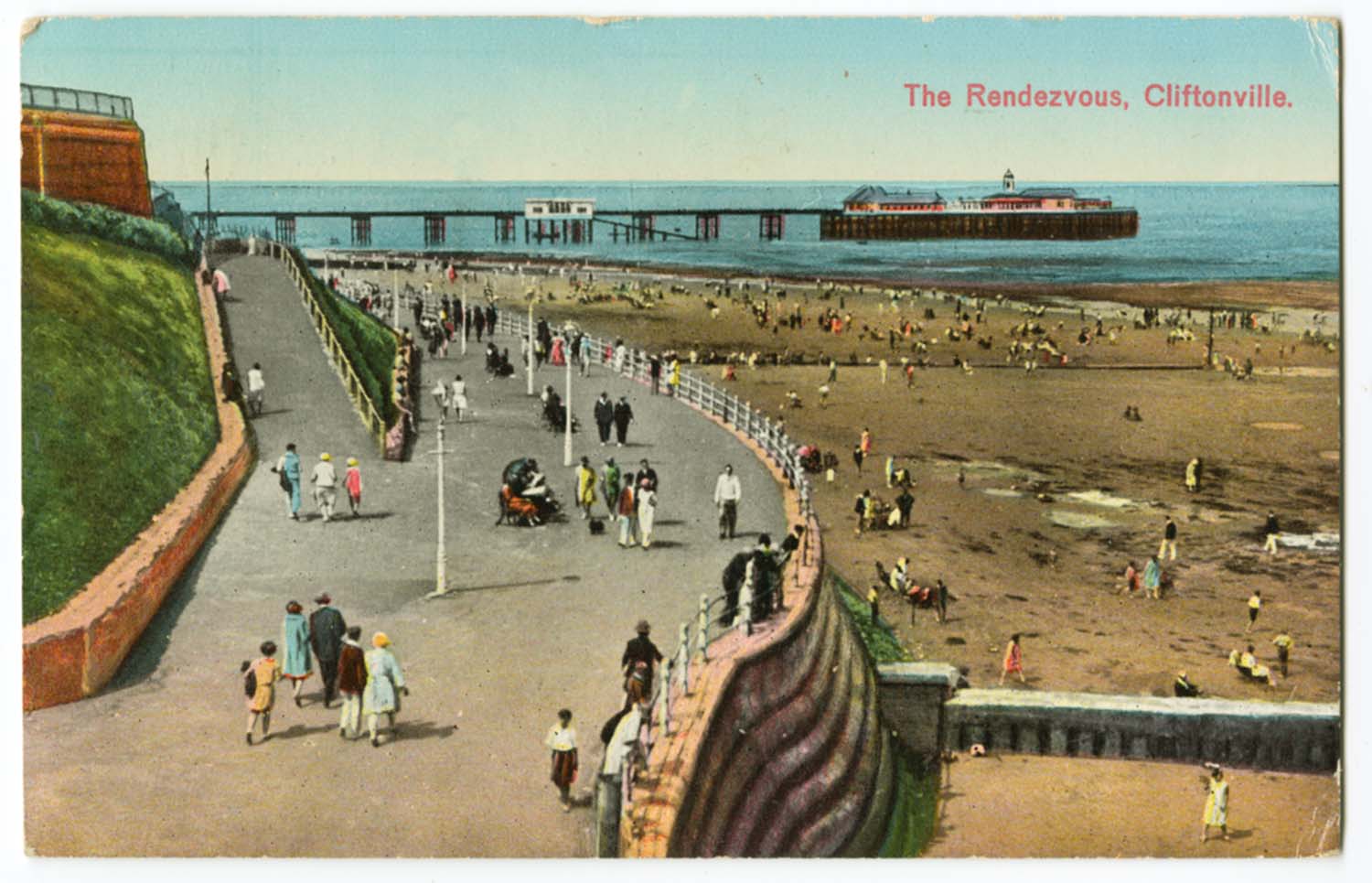
Rendezvous 1932 |
Marine Palace with sign for Switchback [posted 1913] |
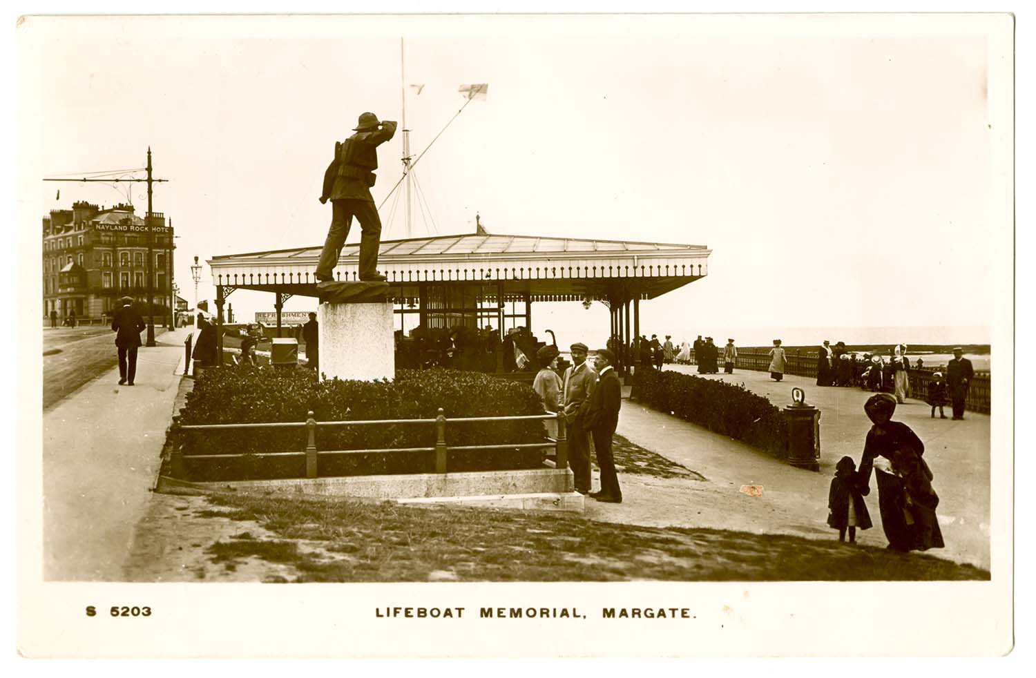
Marine Terrace Lifeboat Memorial Shelter 1915 |
Newgate Gap/Pettmans Bathing Huts |
 |
 |
 |
 |
|
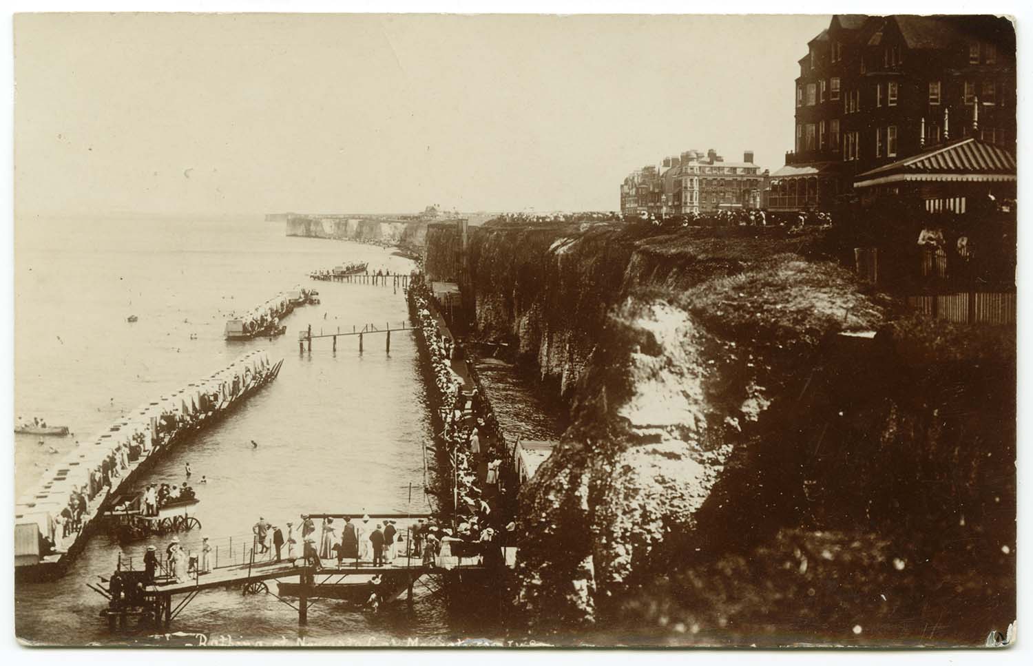
Newgate gap Bathing station 1905 |
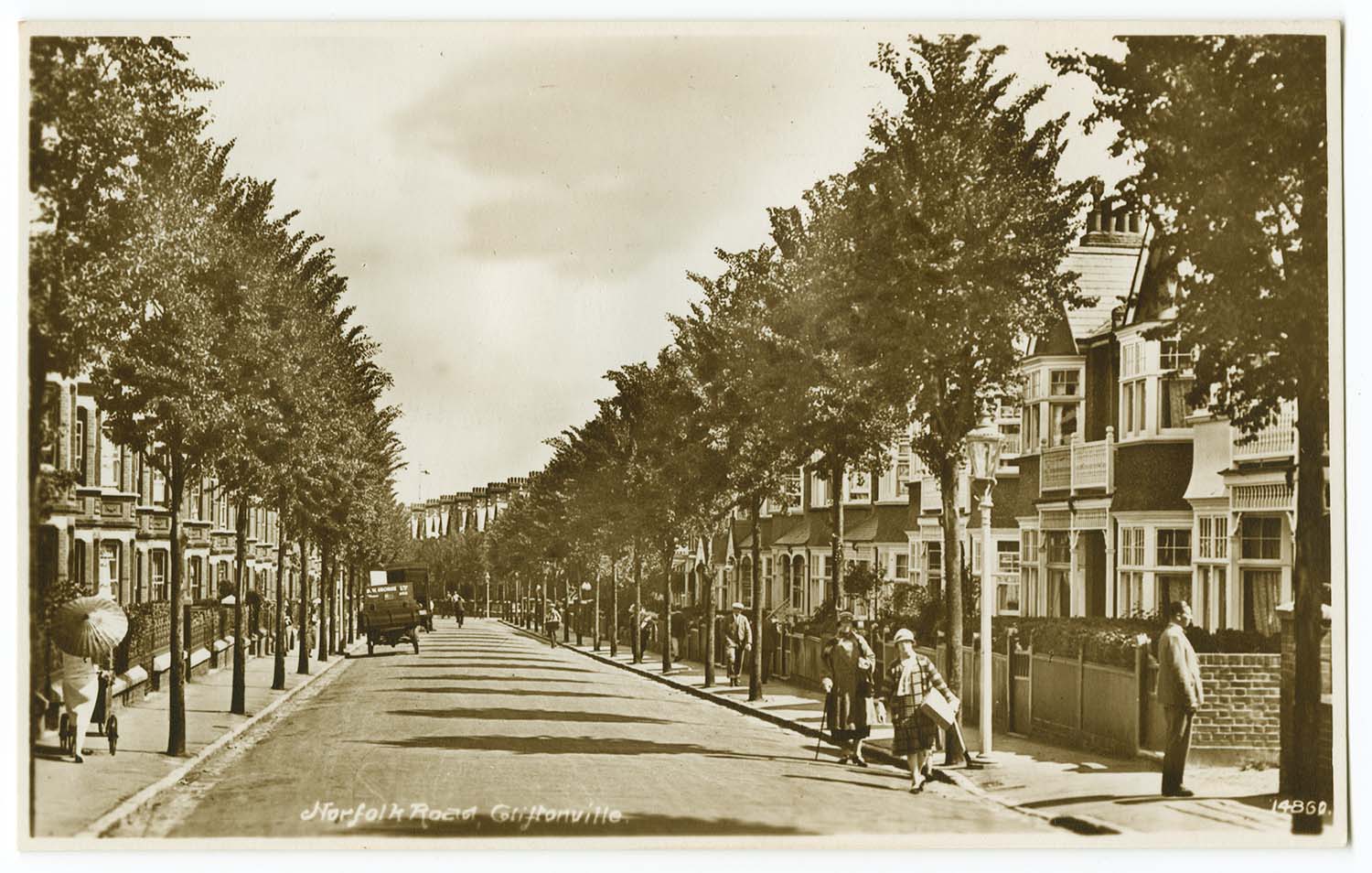
Norfolk Road |
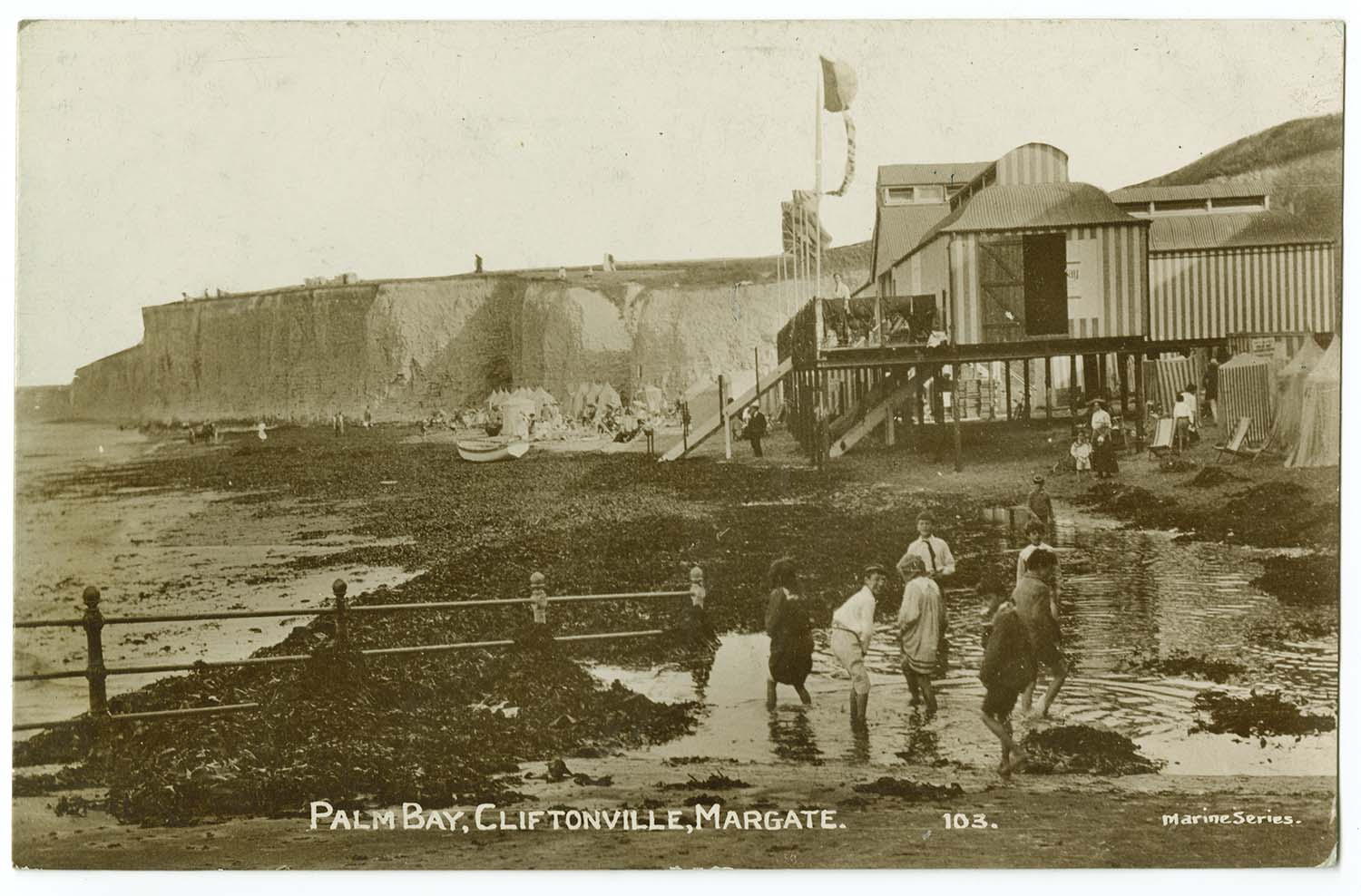
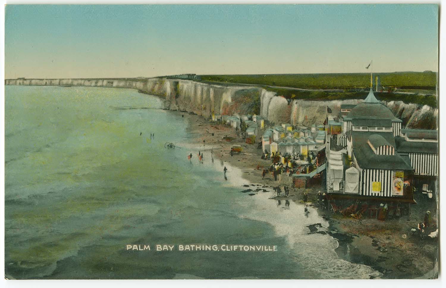
Palm Bay 1912 |
Palm Bay |
 |
 |
 |
 |
|
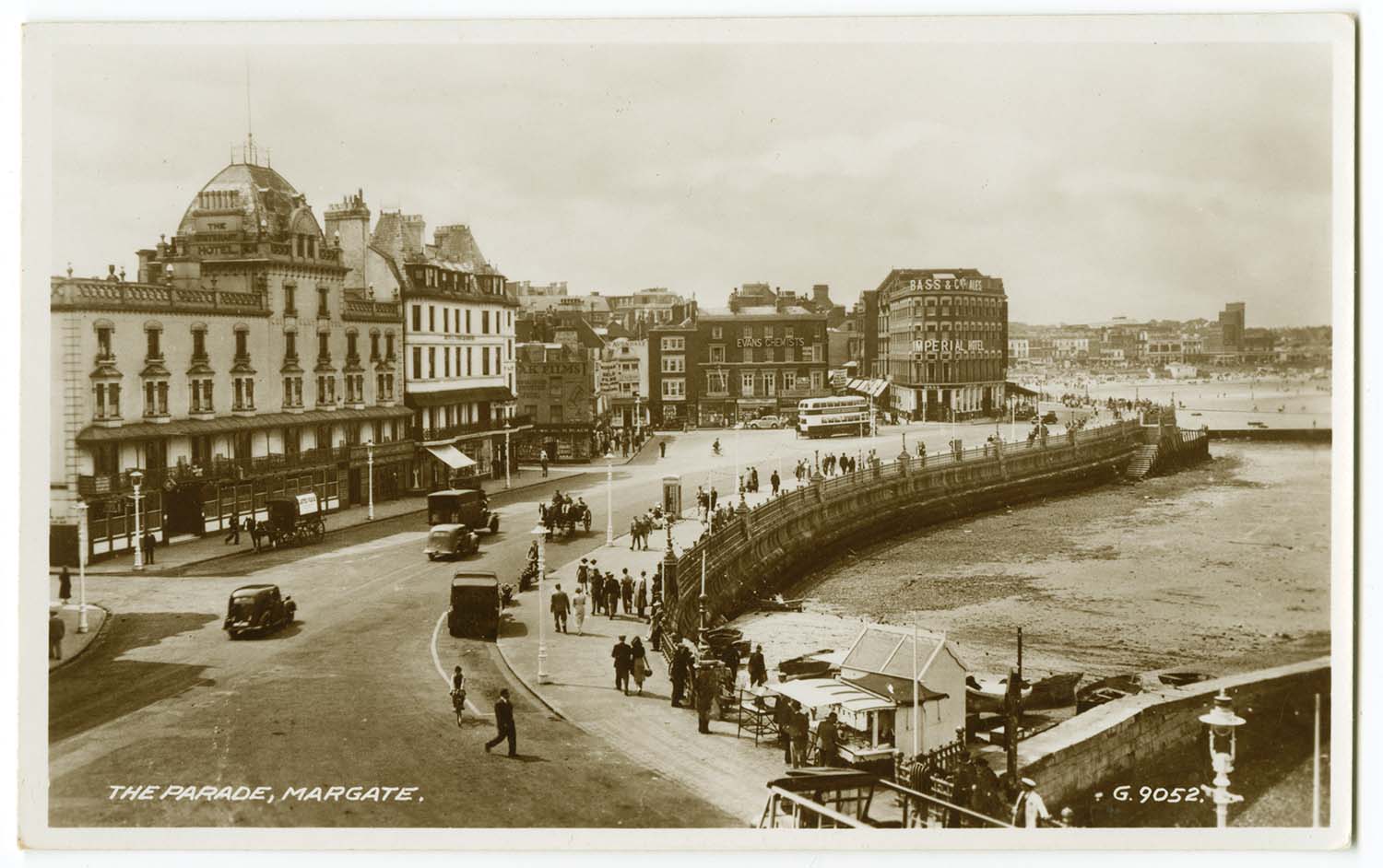
Parade c1950s |
Queens Promenade 1963 |
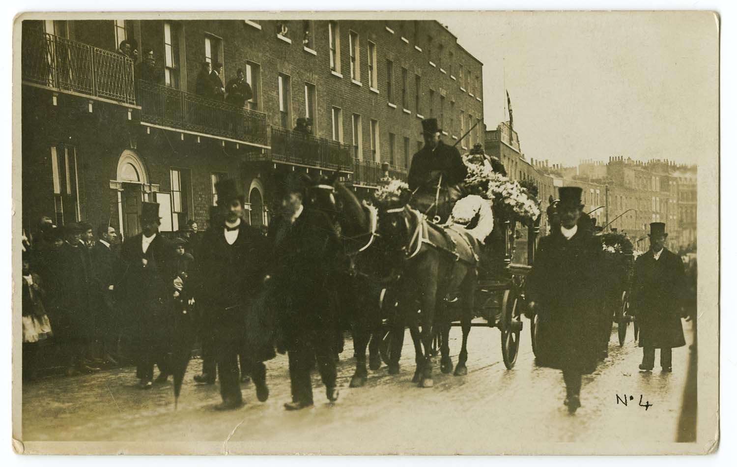
Sangers Funeral Marine Terrace |
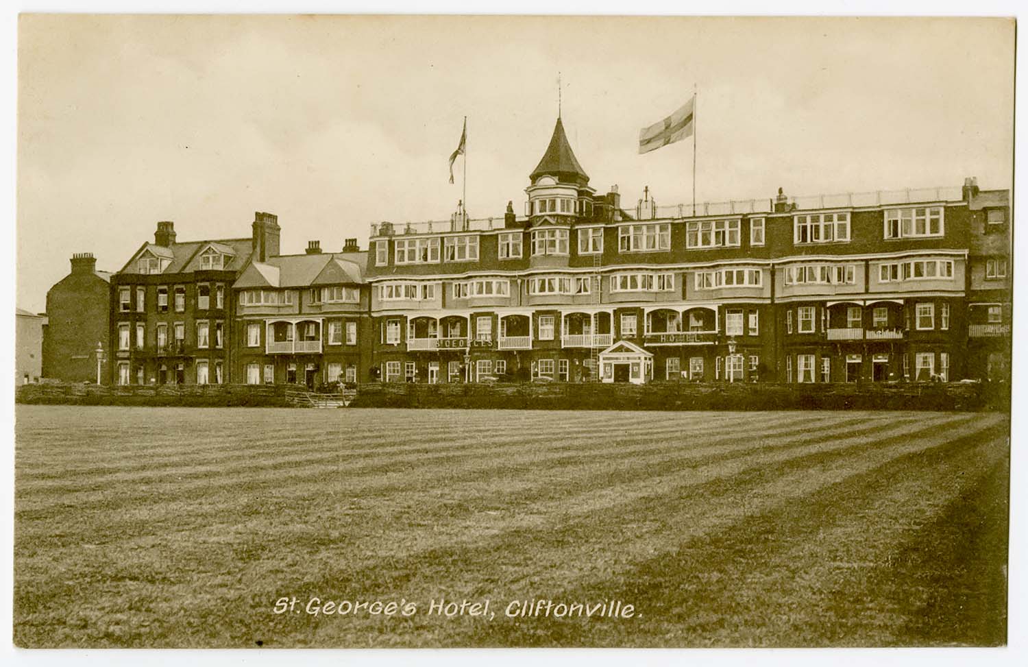
St Georges Hotel |
 |
 |
||
|
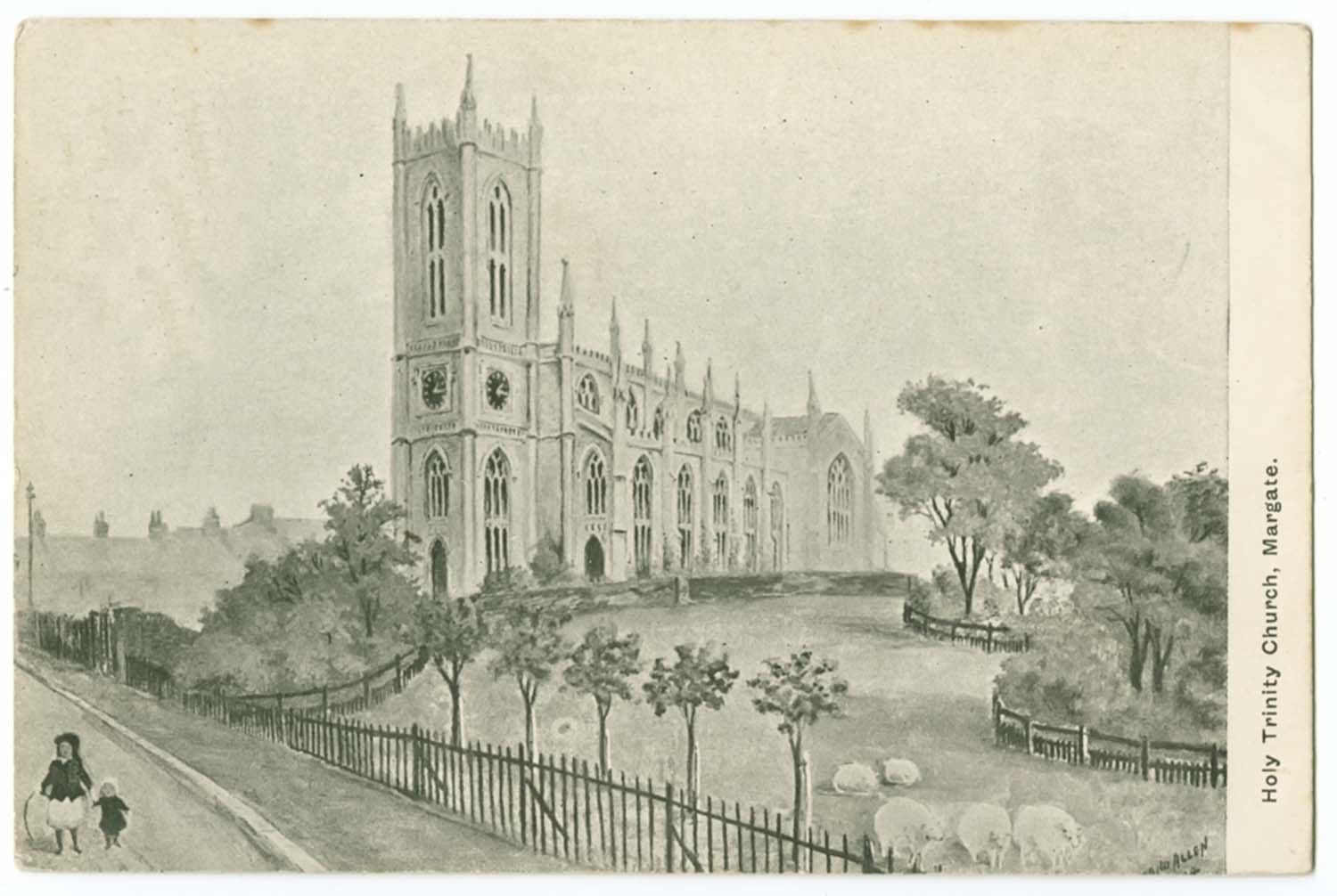
Trinity Church 1908 |
Westbrook Promenade Bandstand |
||
|
April 15 2012 |
|||
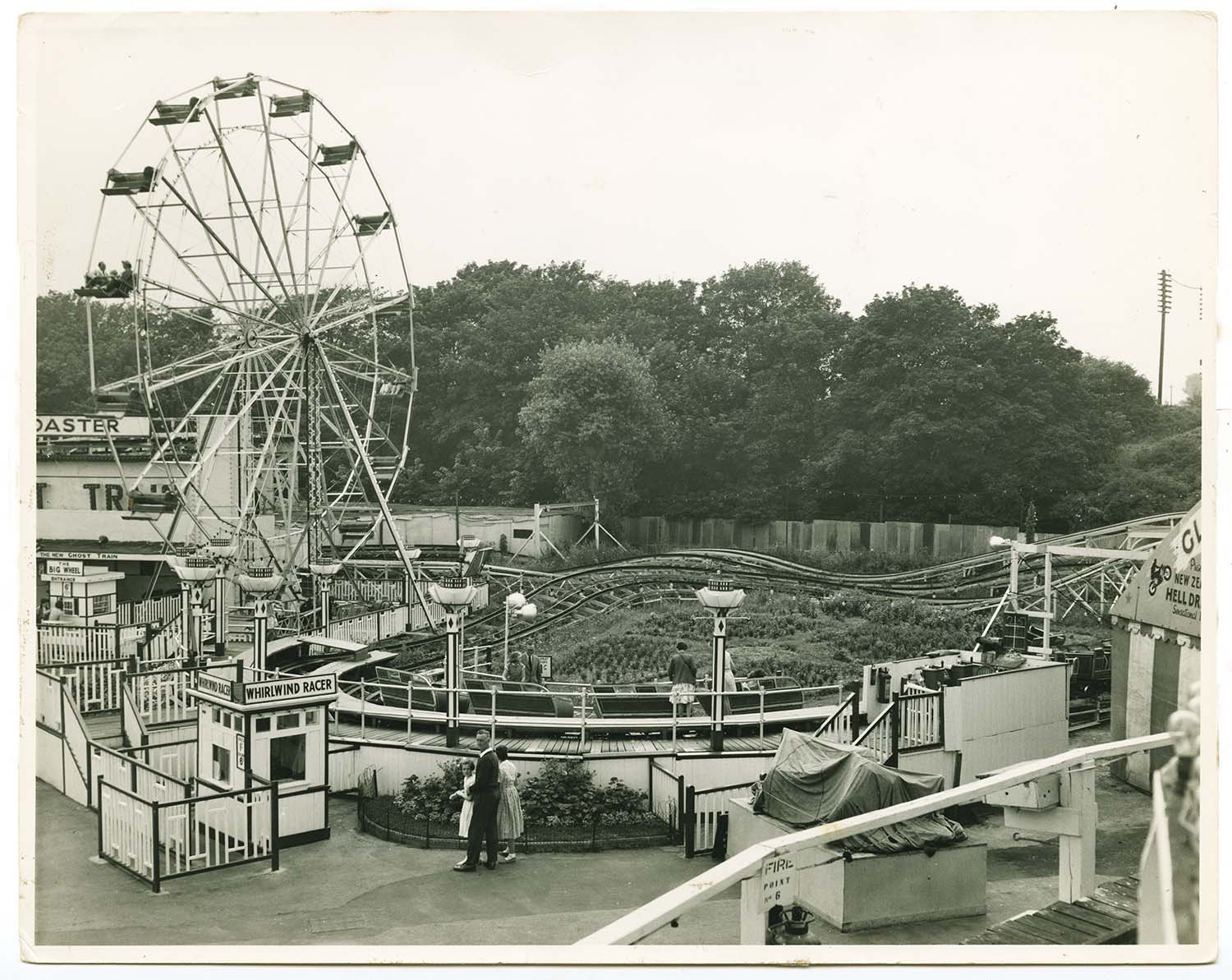
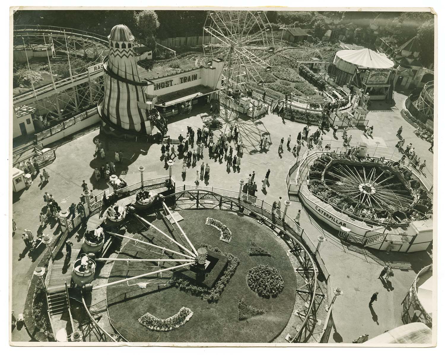
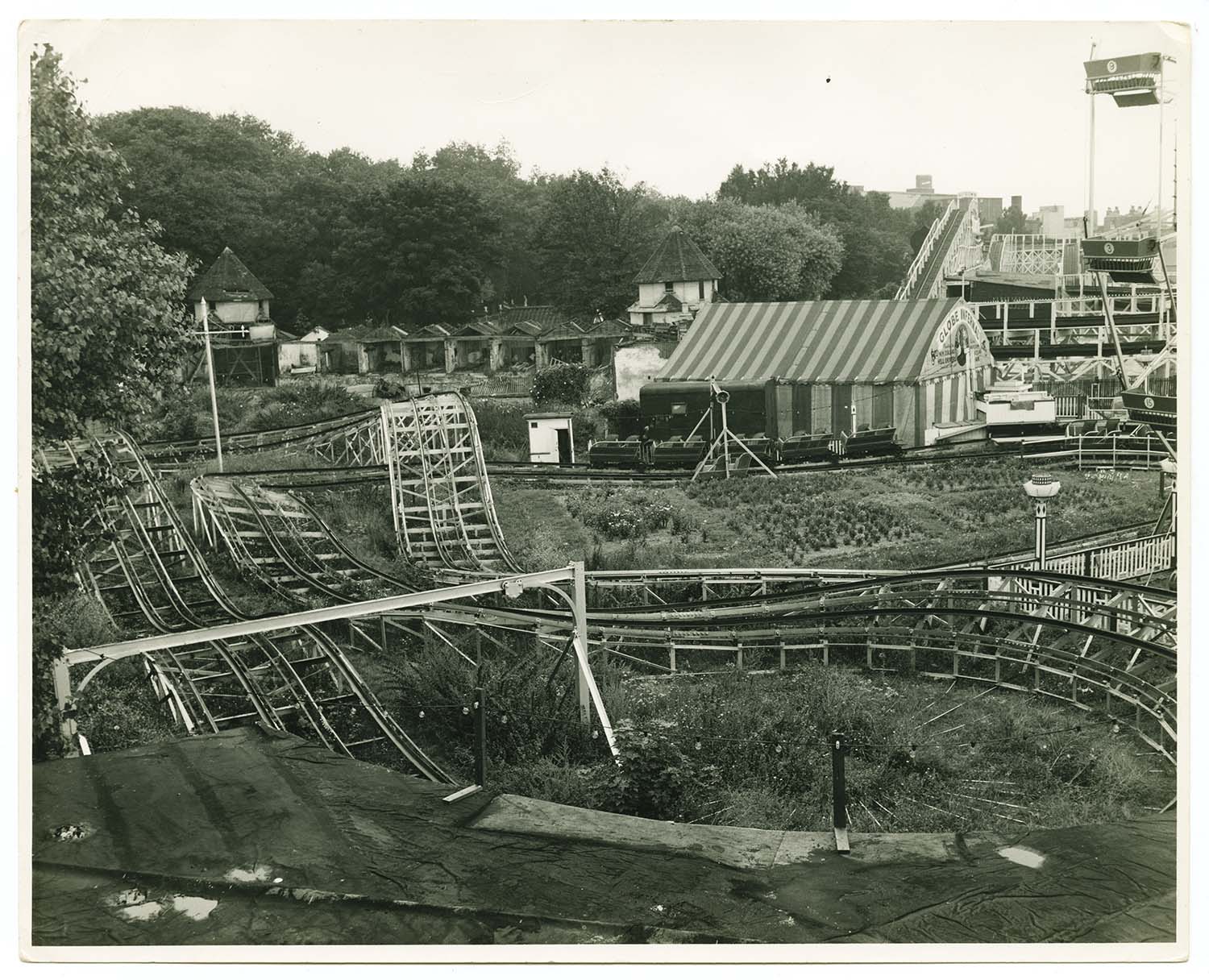
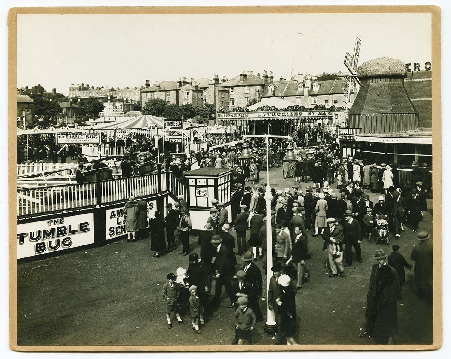
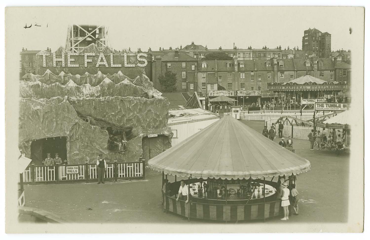
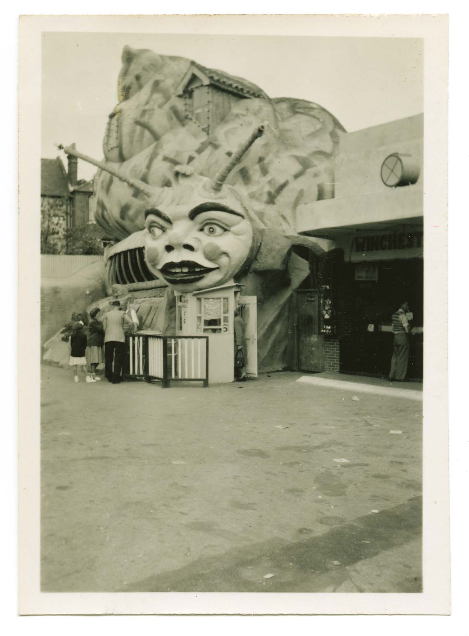
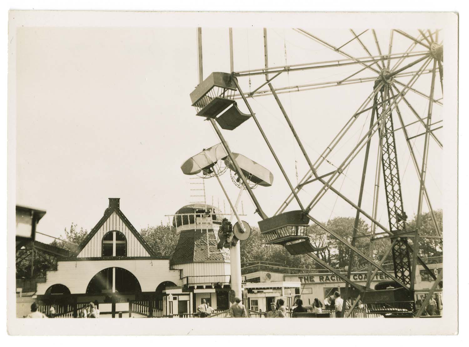
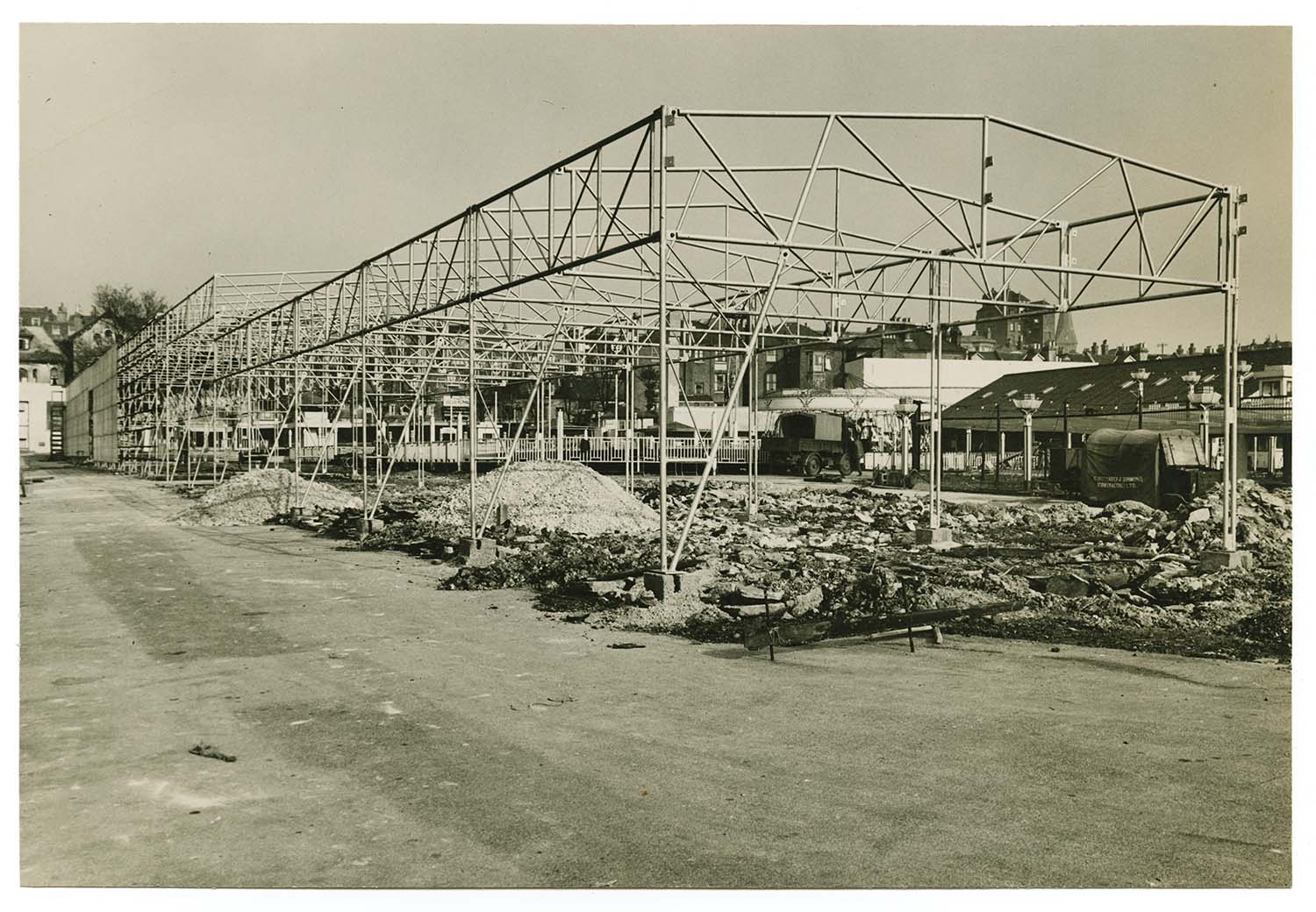
Newly added pictures of the Dreamland amusement park and the Dreamland Cinema, mostly from the 1930s to 1950s, in a new Dreamland section (access from the left-hand menu). |
|||
|
|
|
|
|
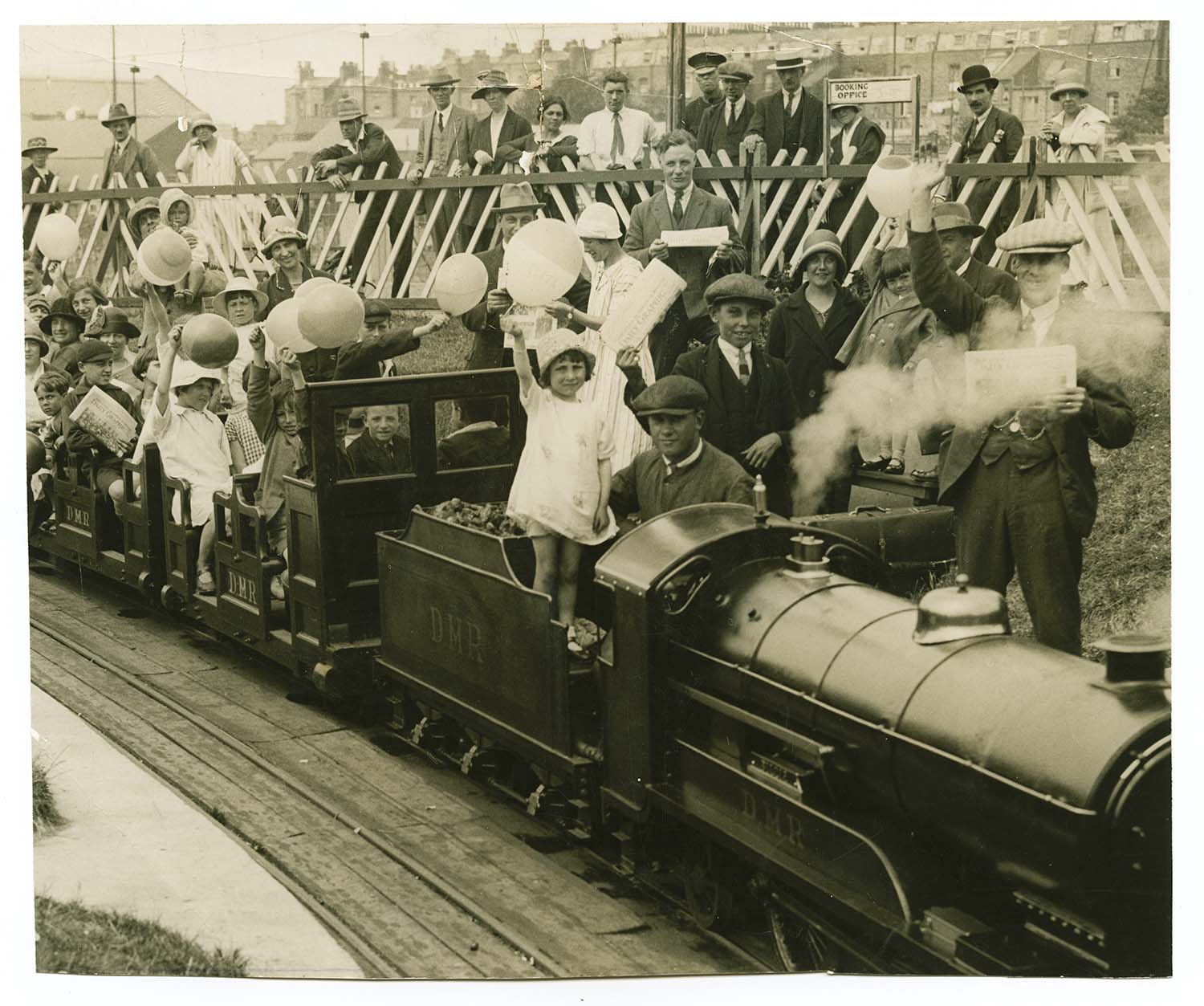
Miniature Railway July 9 1926 |
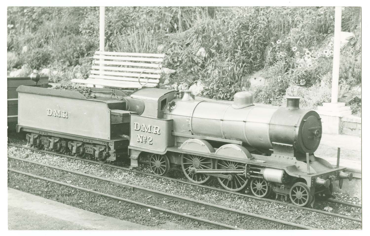
Miniature Railway ca 1937 |
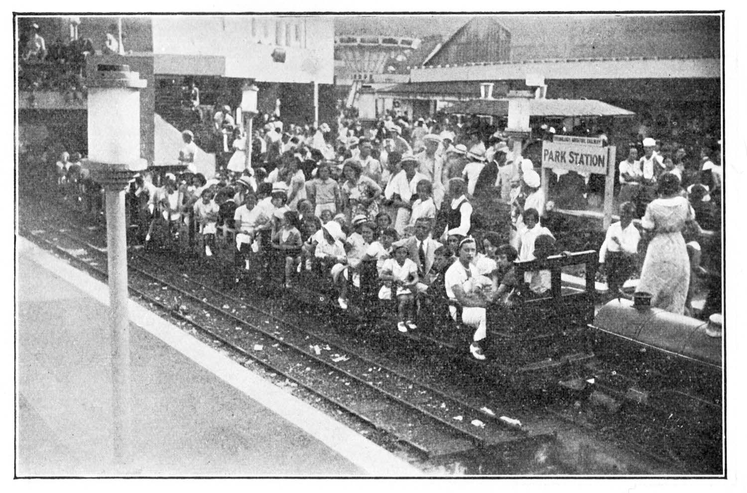
Dreamland Miniature Railway 1953 |
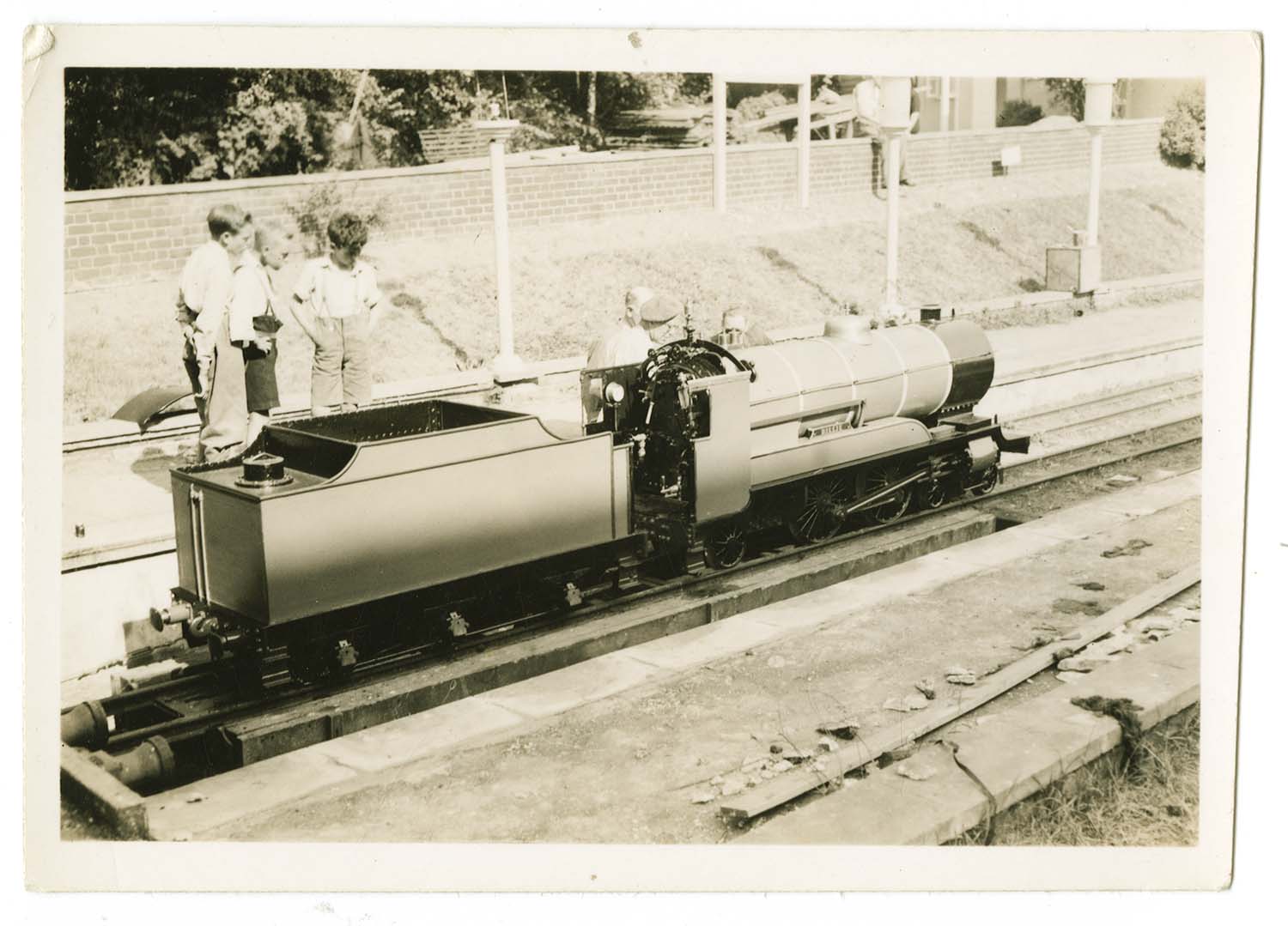
Miniature Railway July 1946 |
|
|
|
|
|
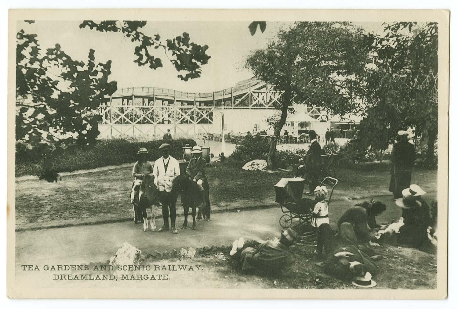
Tea Gardens and Scenic Railways 1920s |
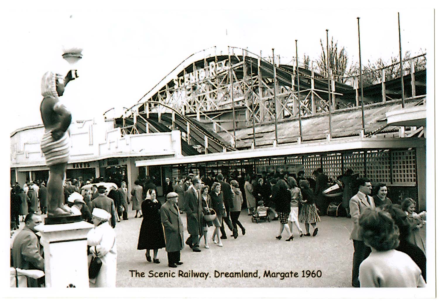
Scenic Railway 1960 |
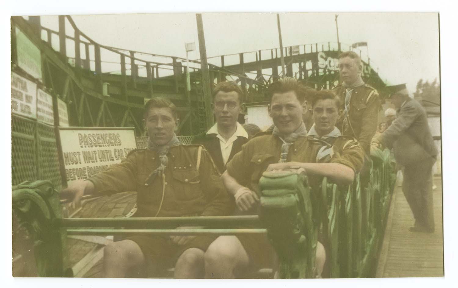
Scenic Railway 1929 |
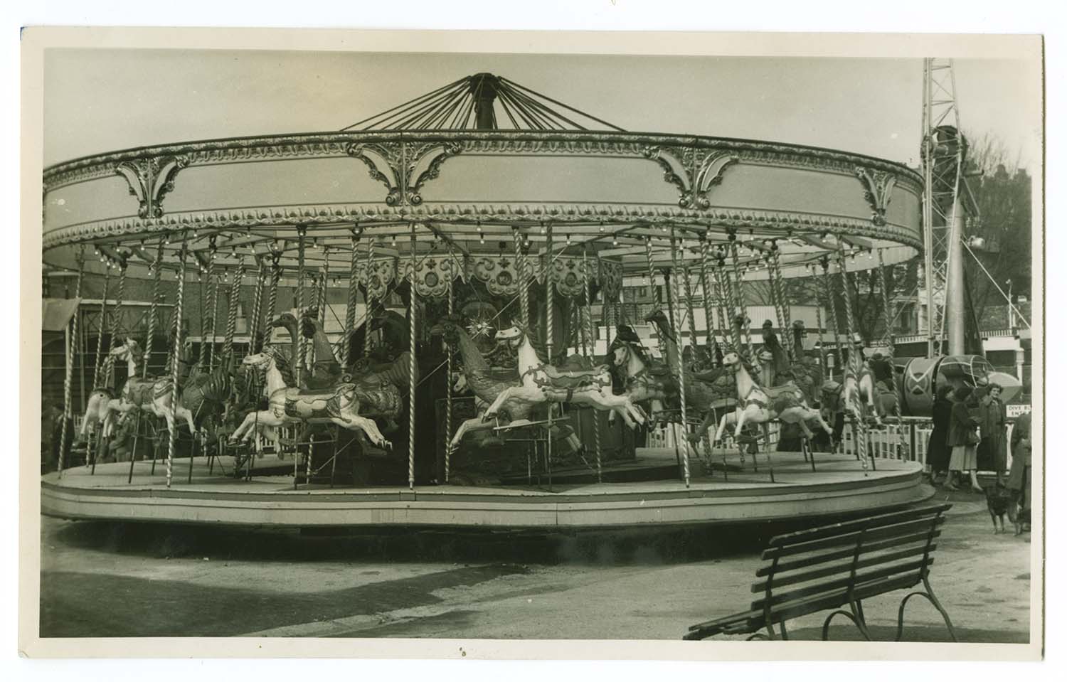
Roundabout (late Pettrigroves) 1951 |

|
|
 |
 |
|
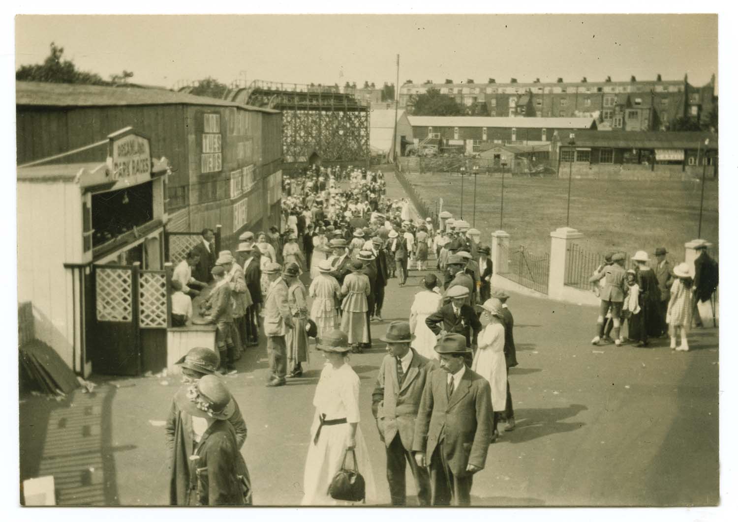
Park from top of Scenic Railway Aug 1953 |
Park 1955 |
Park from top of Skye Wheel August 1953 |
West side of Park 1955 |
|
|
 |
 |
|
West side of Park |
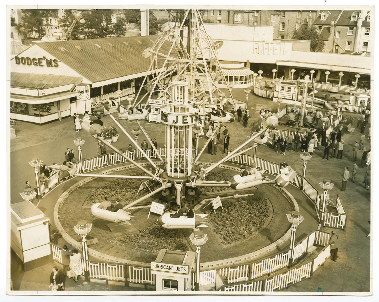
Hurricane Jets ride 20 May 1956 |
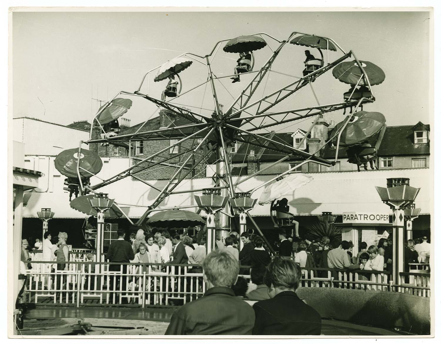
Paratrooper ride |
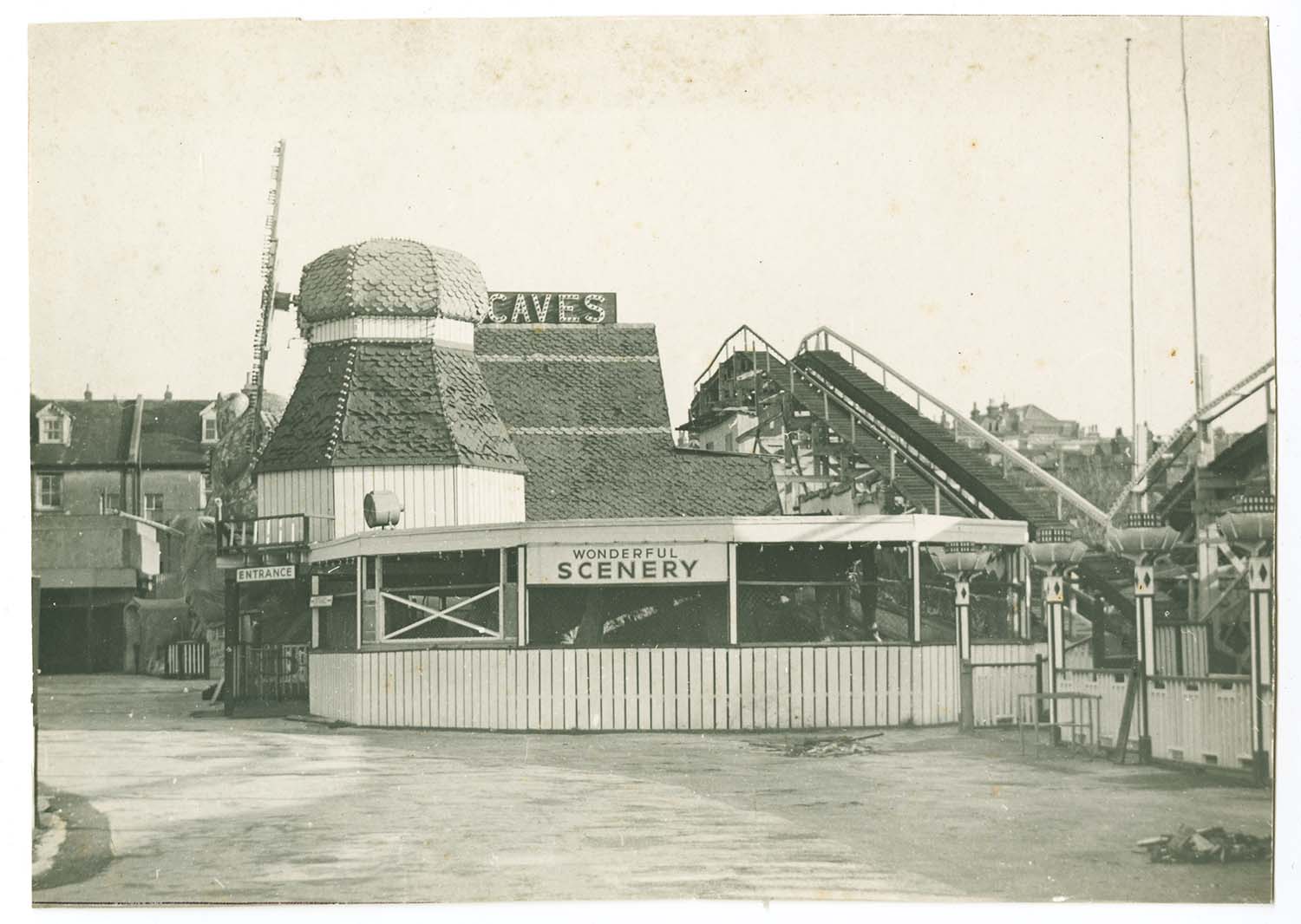
The Caves |
|
|
 |
 |
|
Dreamland Park |
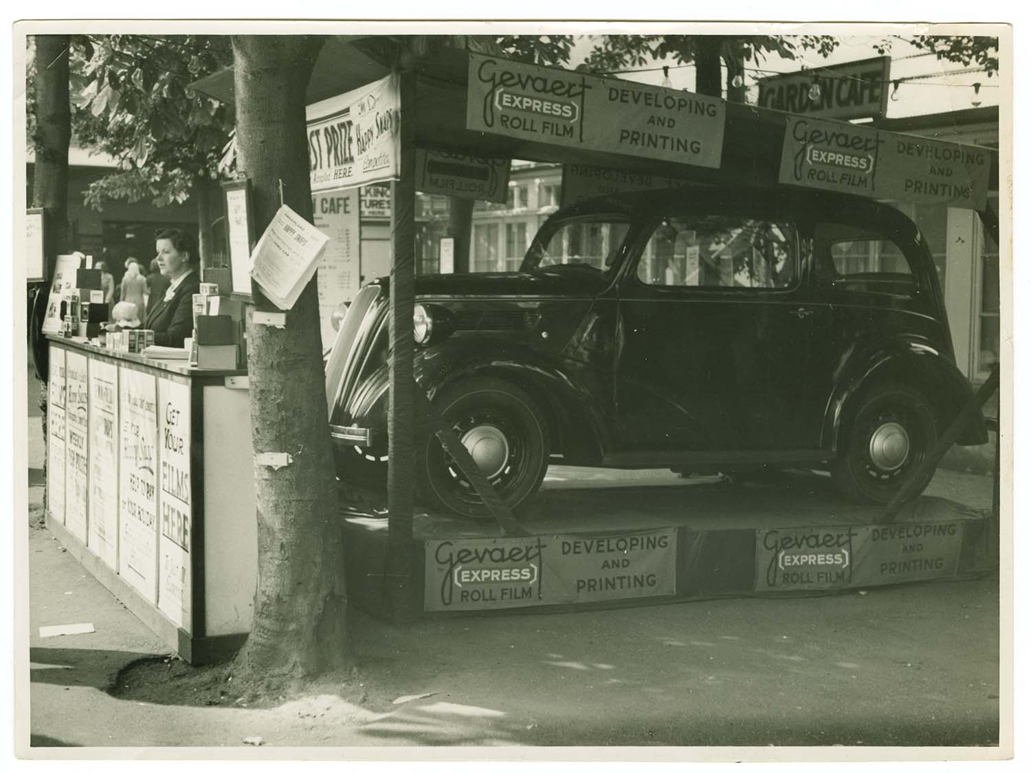
Prize Car at Dreamland |
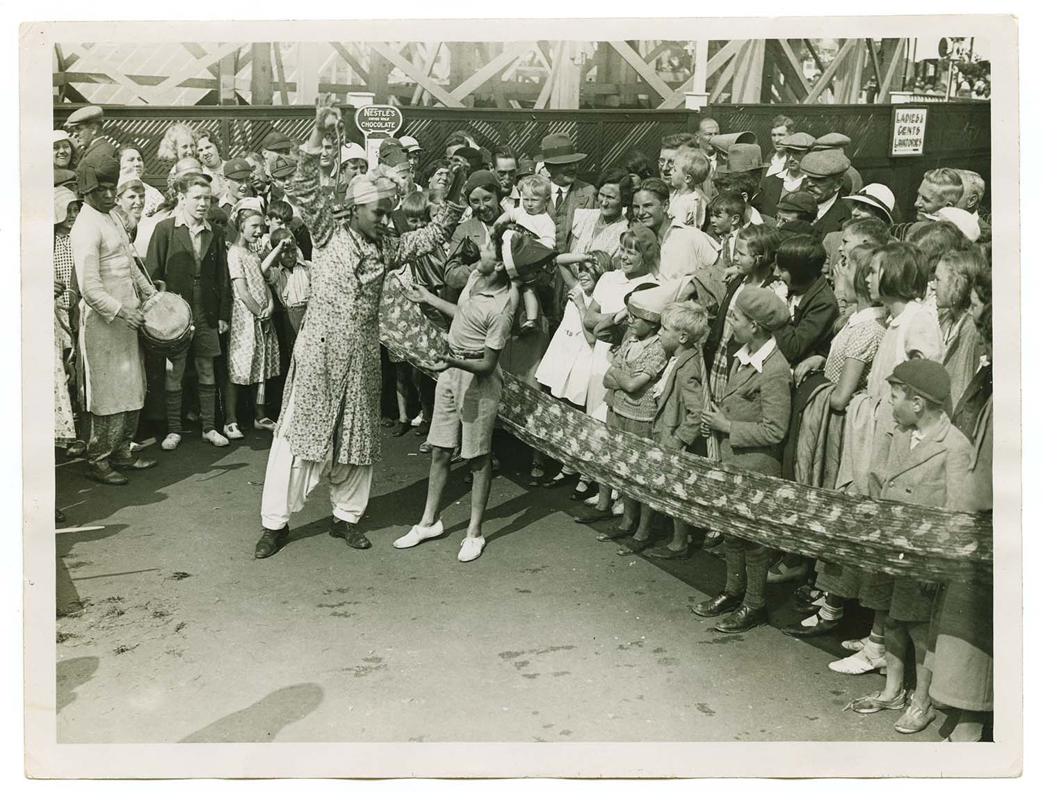
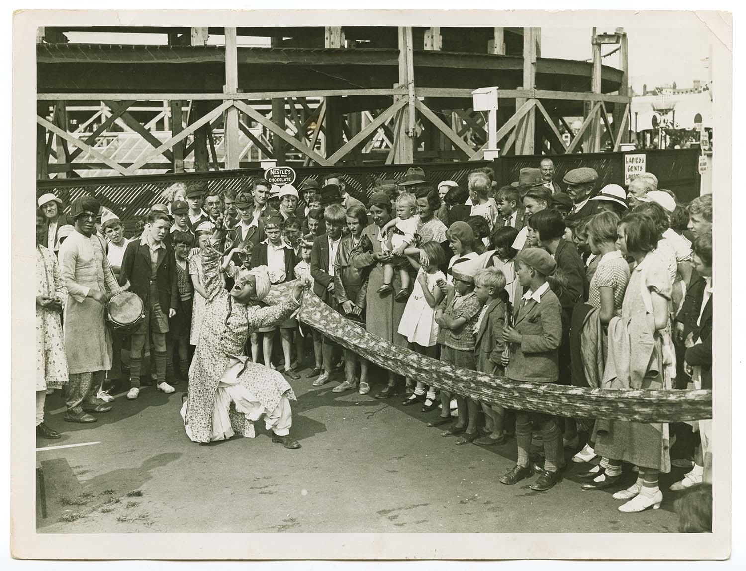
Kiddies Day 1 Oct 1934 - Indian magician |
Kiddies Day 1 Oct 1934 - Indian magician |
|

|
|
|
|
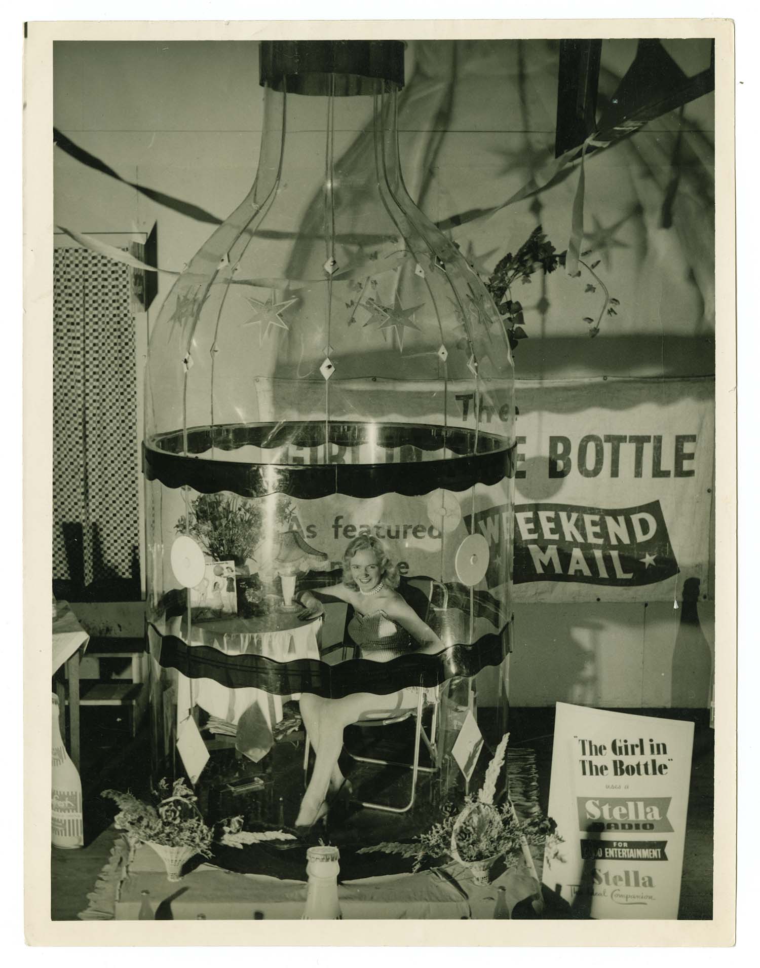
Publicity material for Girl in Bottle |
Publicity material for Girl in Bottle |
The Falls |
|
|
|
||
|
Haunted Snail June 1950 |
Dreamland July 1946 |
||
|
|||
|
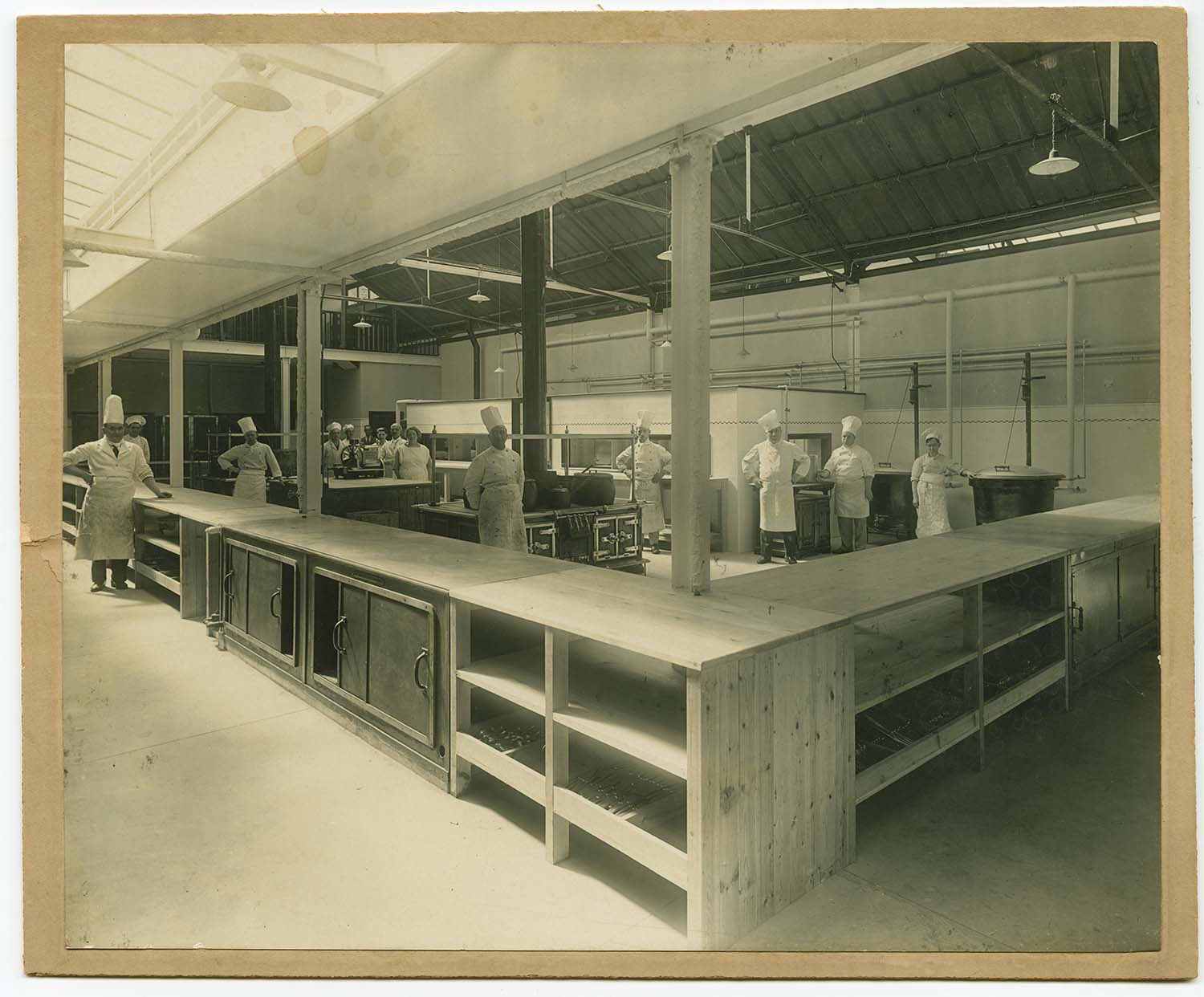
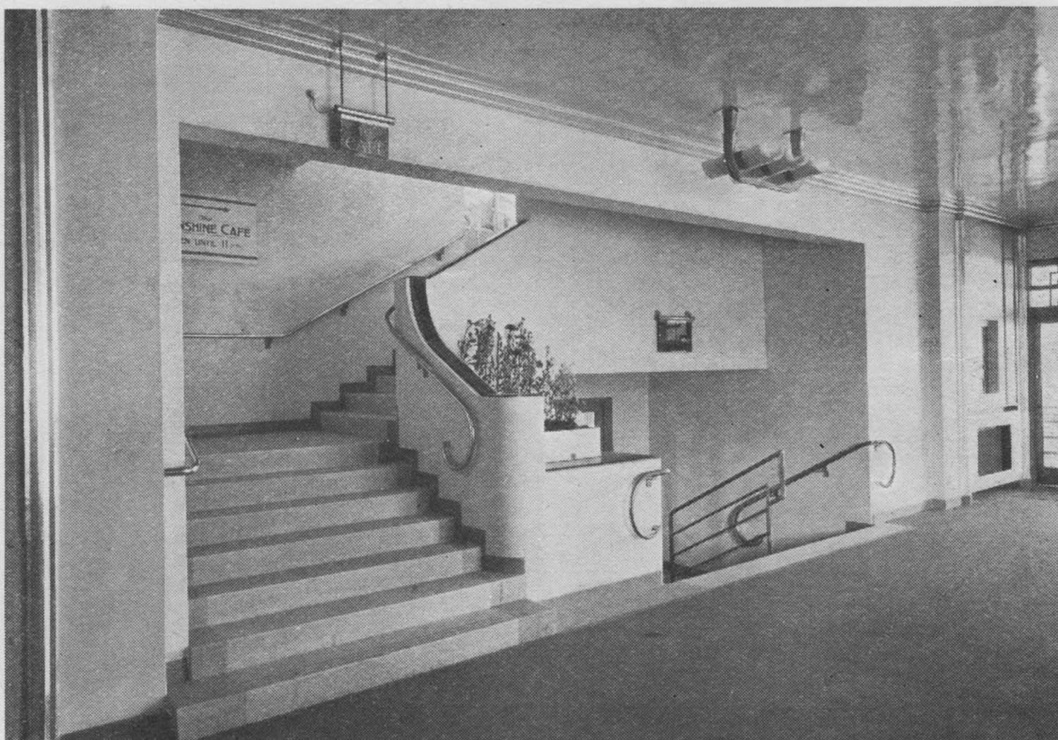
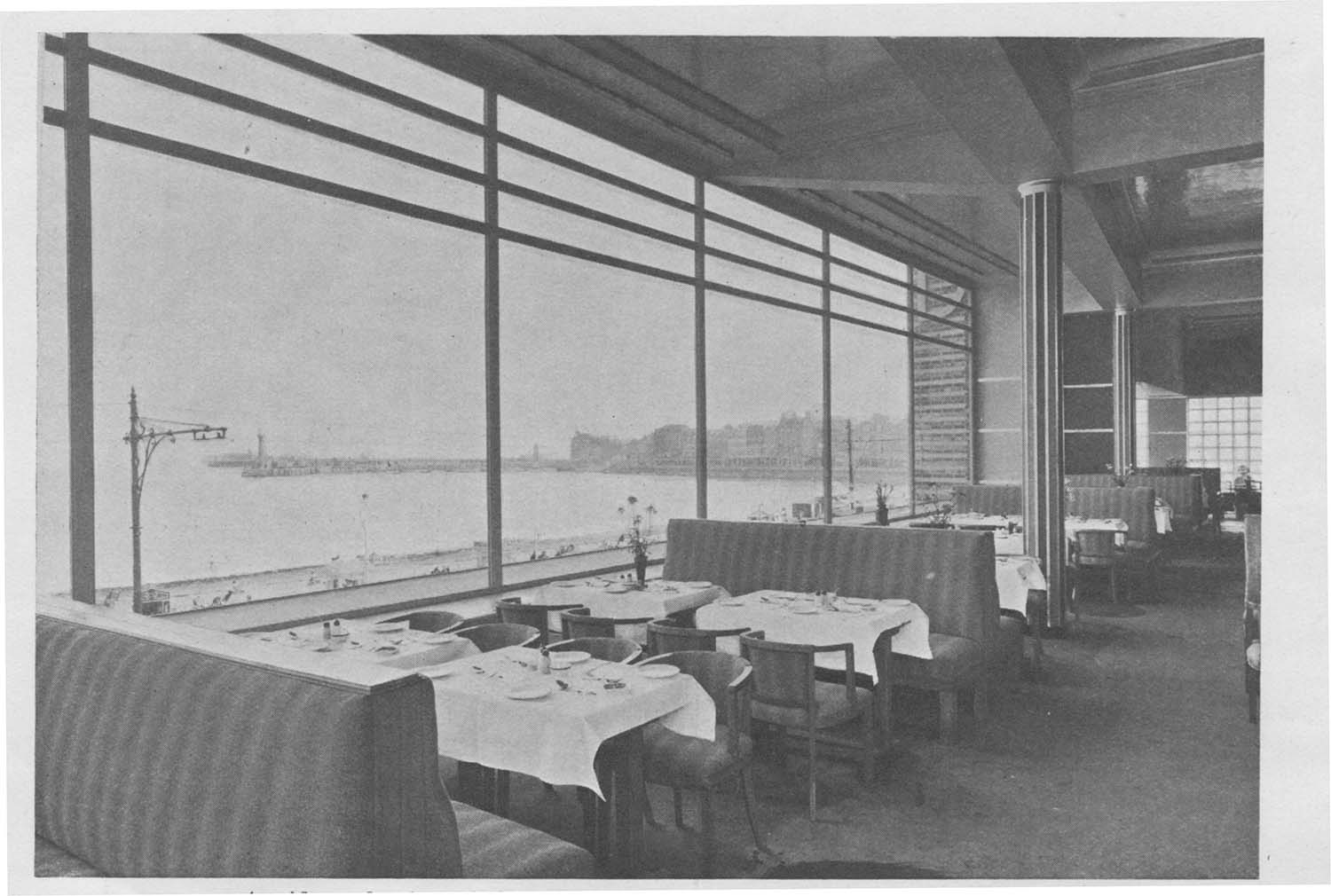
Construction of the replica of the Queen Mary in 1951 |
|||
|
|
 |
 |
|
Kitchen for Garden Cafe |
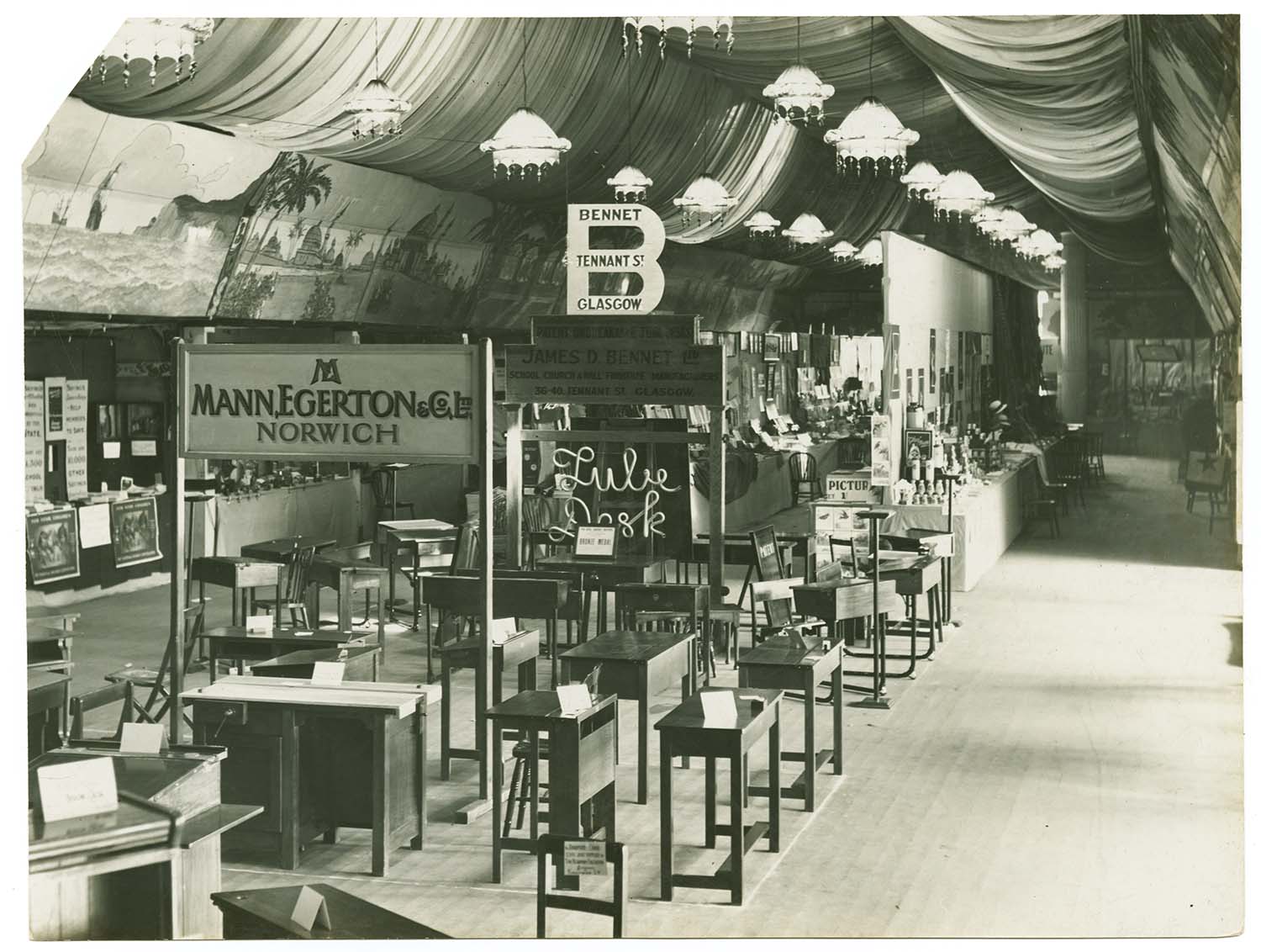
Garden Cafe |
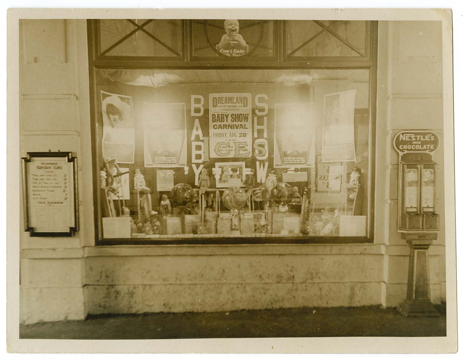
Garden Cafe window |
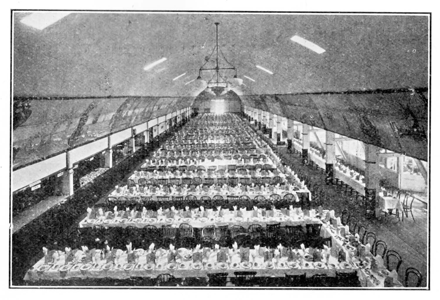
Garden Cafe ca 1937 |
 |
|||
|
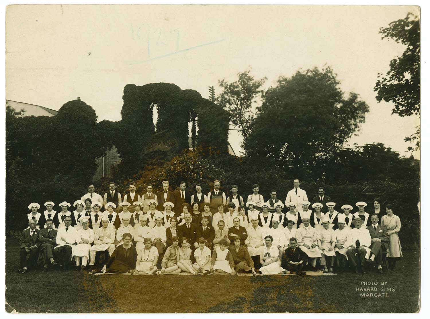
Staff at Dreamland 1927 in front of Abbey Ruins |
|||
|
|
|
|
|
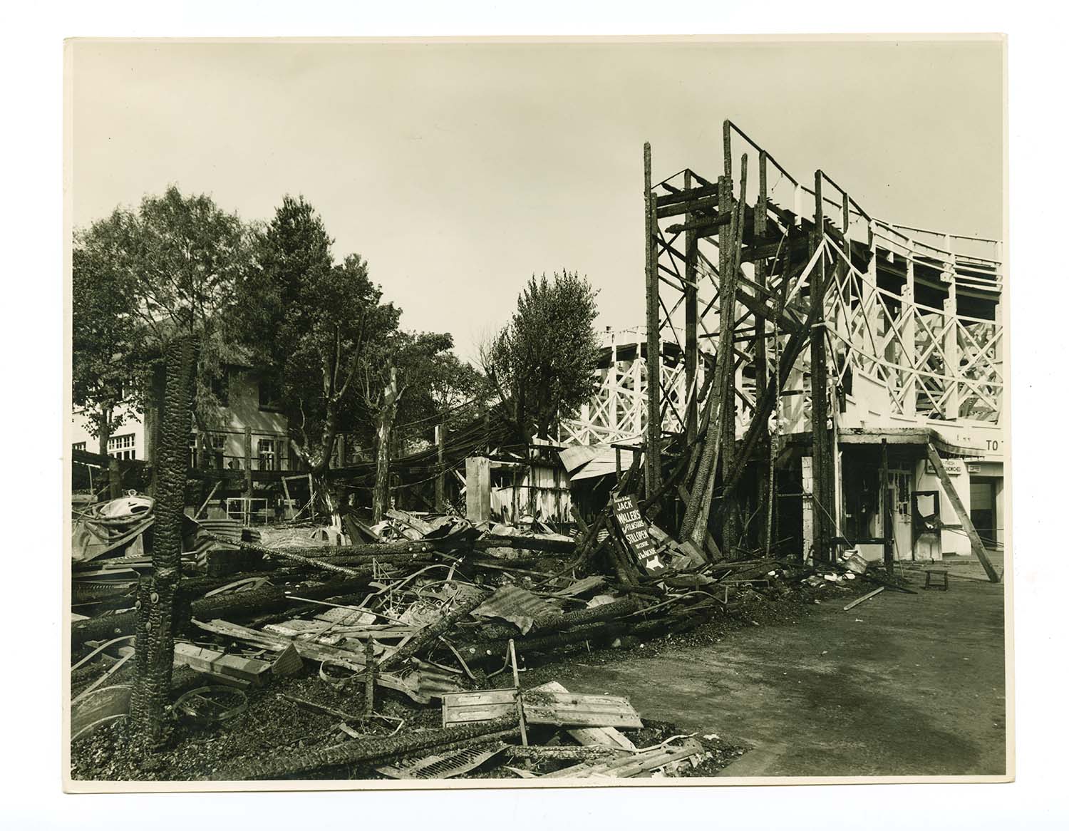
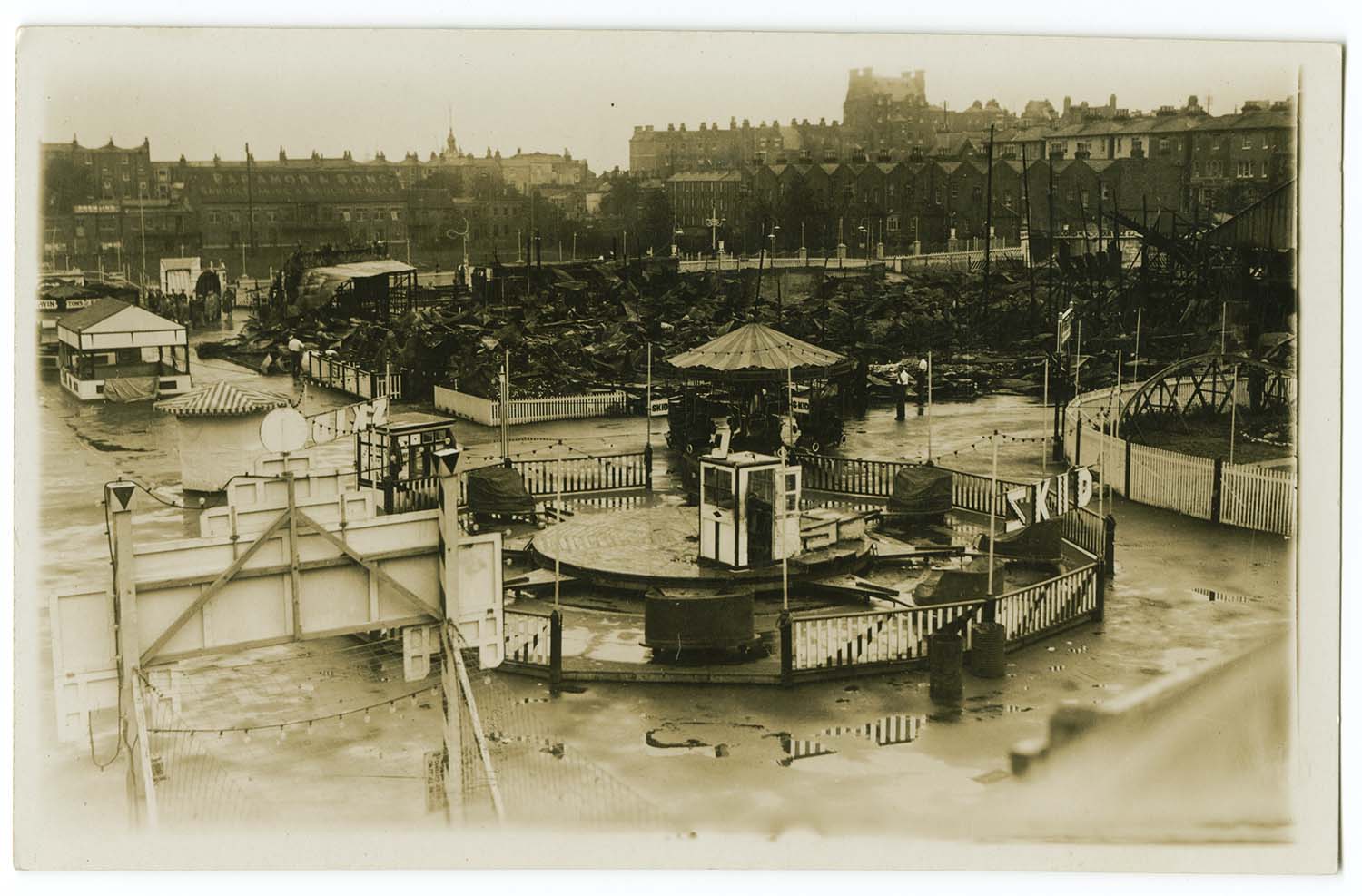
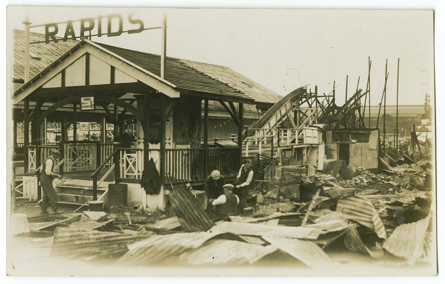
Damage to Scenic Railway due to Fire 21 August 1949 |
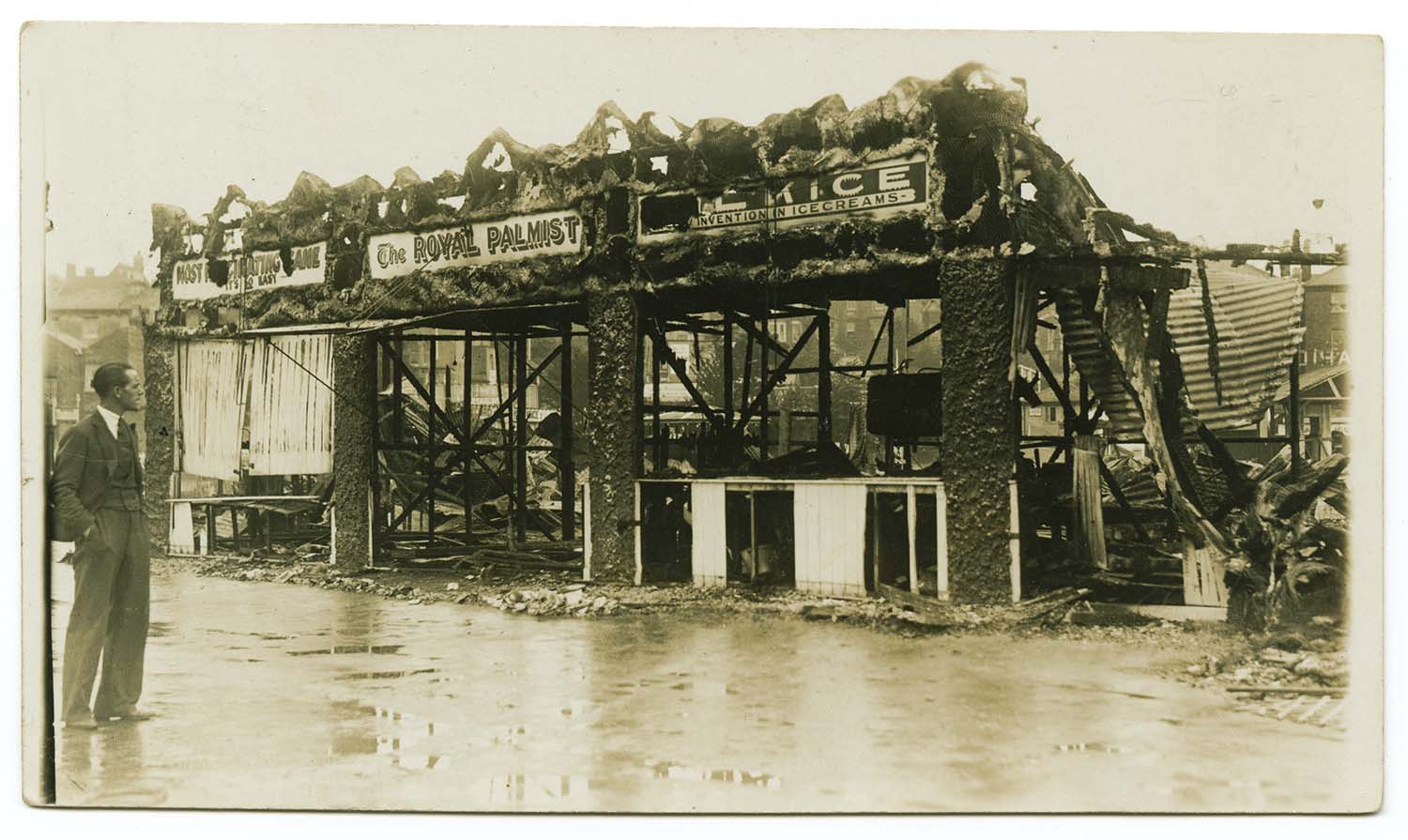
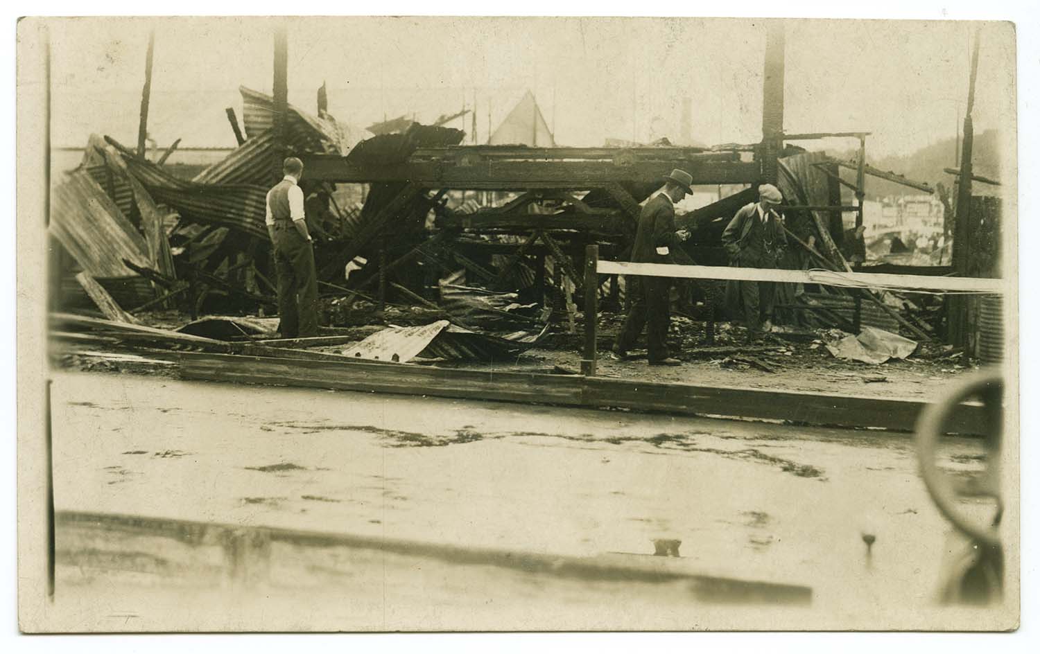
Fire damage 1930 |
Fire damage 1930 |
Fire damage 1930 |
|
|||
|
Fire damage 1930 |
|||
|

|

|
|
|
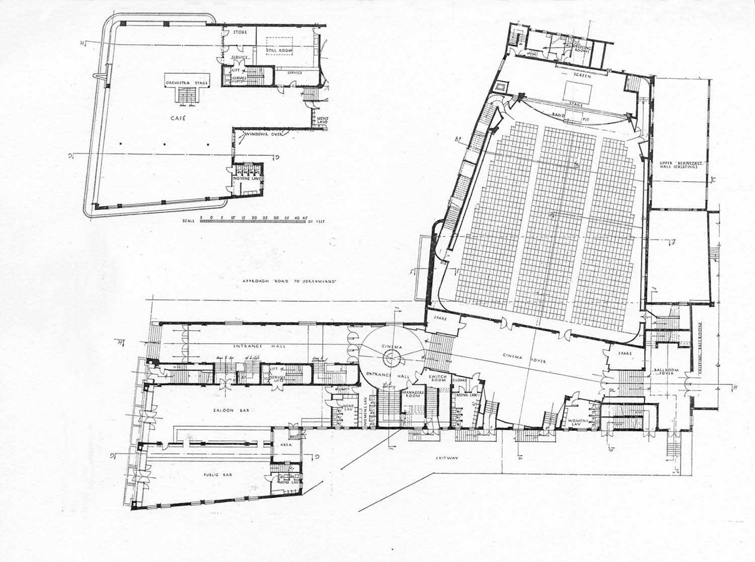
Dreamland floor plan 1934 |
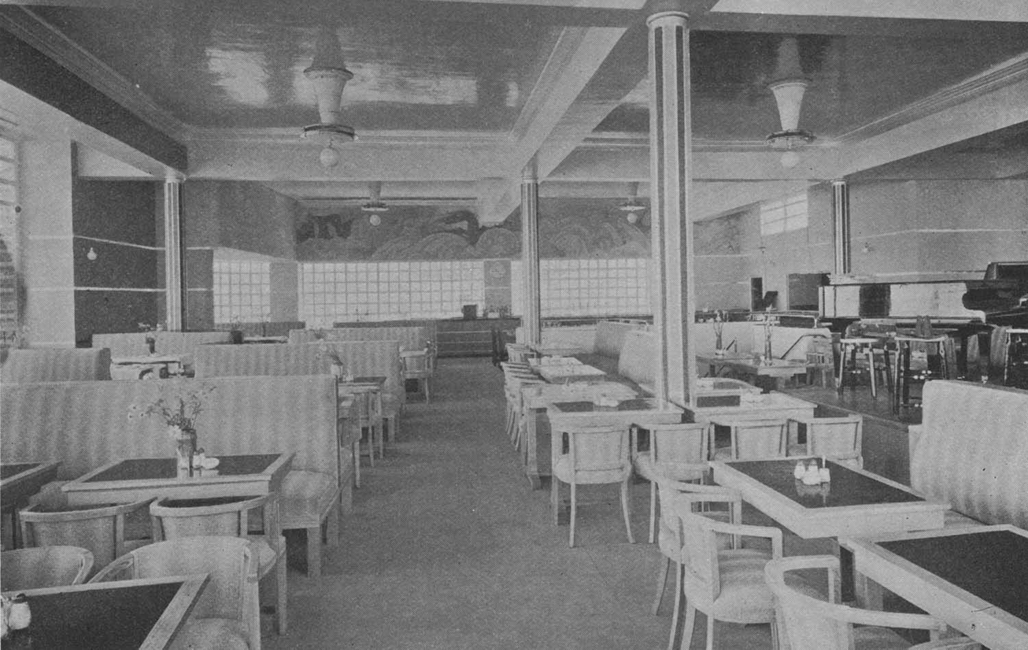
Dreamland Buffett 1934 |
Dreamland cinema booking foyer 1935 |
Dreamland Cafe 1934 |
|
|
|
|
|
Dreamland Cafe bar 1934 |
Dreamland cafeteria 1934 |
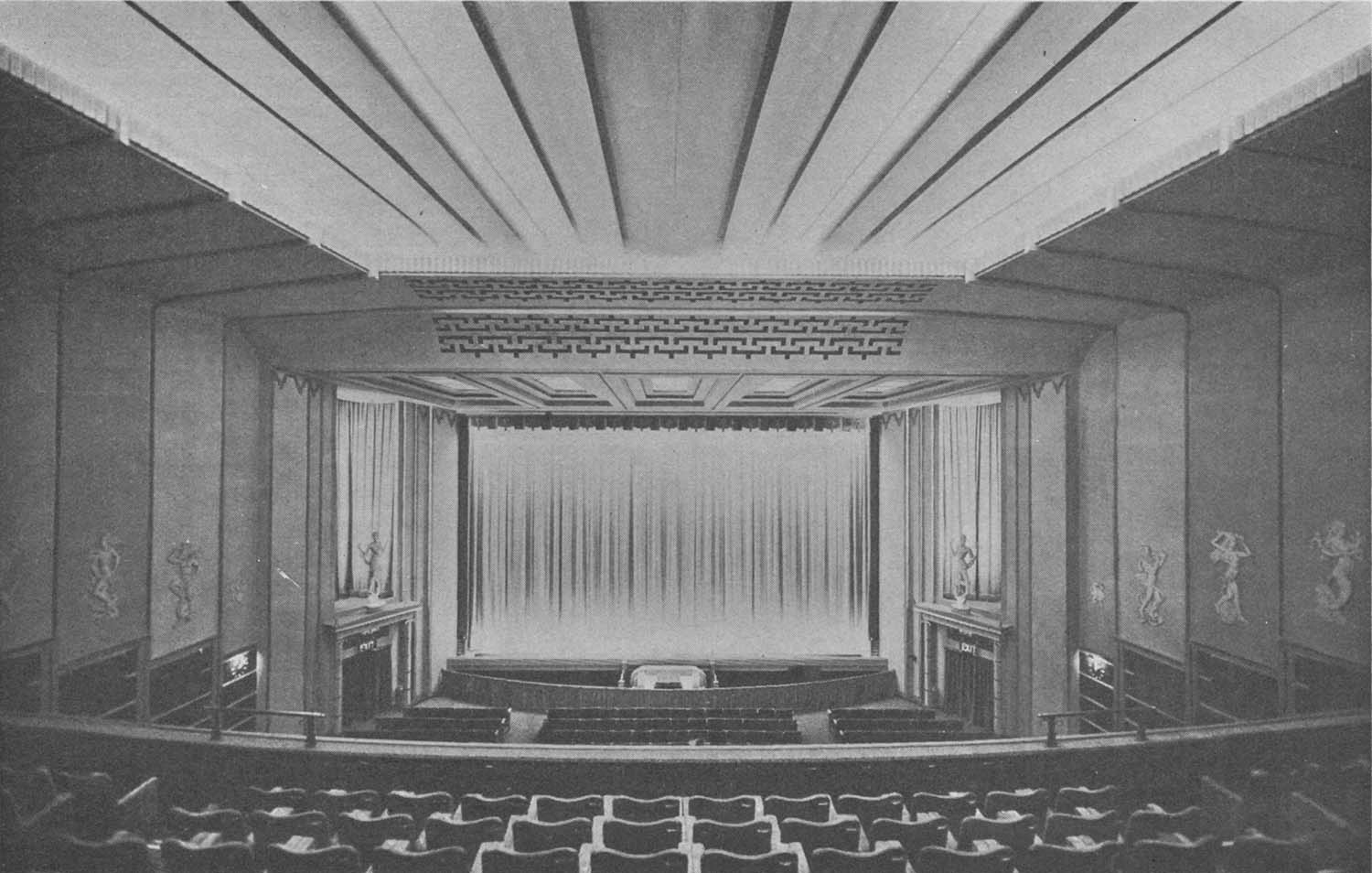
Dreamland cinema inside 1935 |
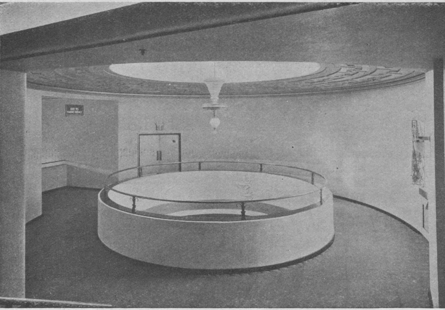
Dreamland cinema main foyer 1935 |
|
|
|
|
|
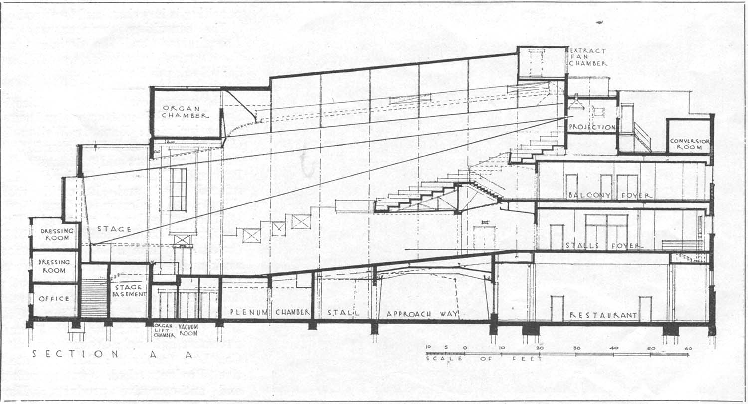
Dreamland cinema section plan |
Dreamland cinema side entrance 1935 |
Dreamland cinema staircase 1935 |
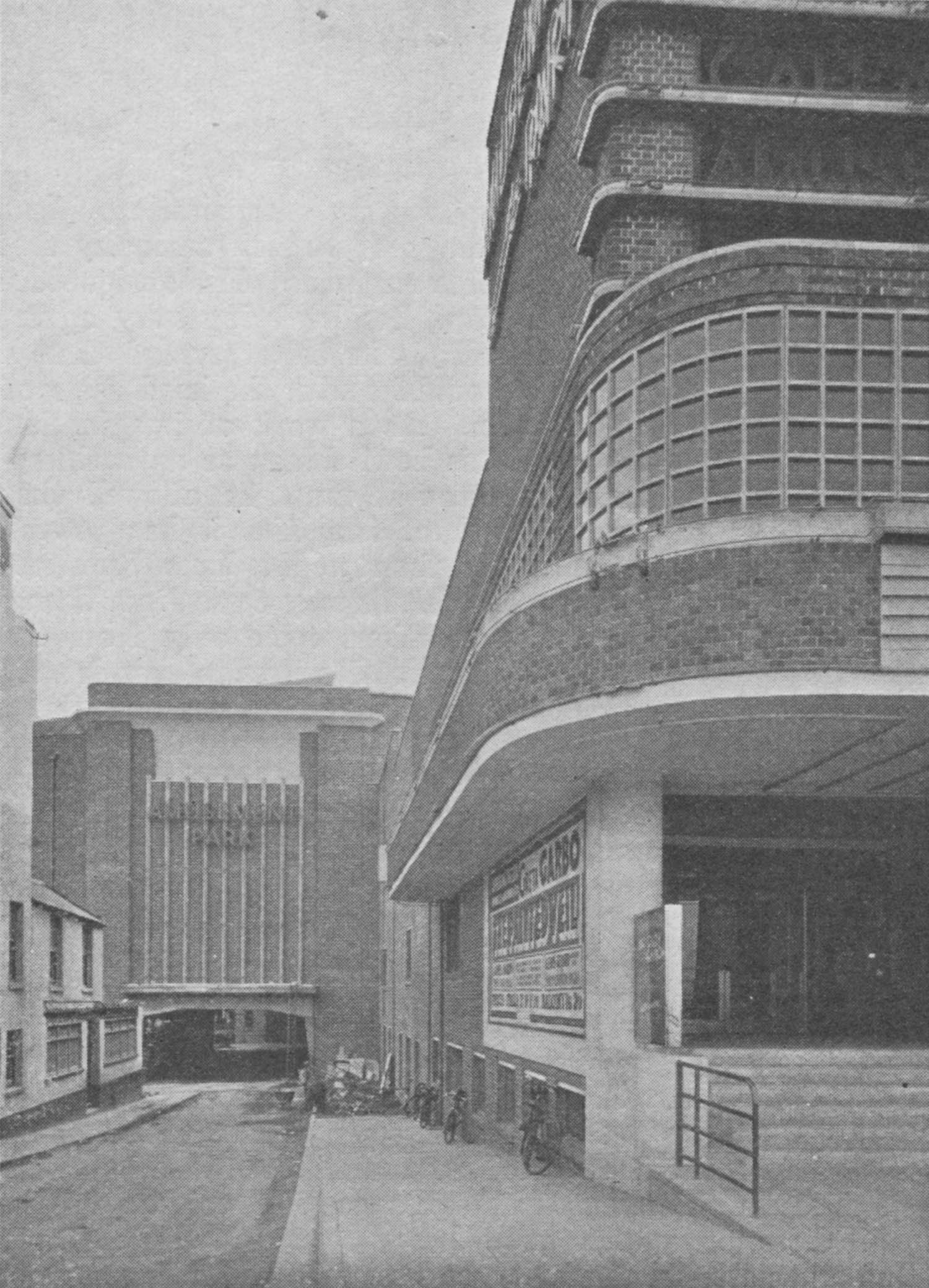
Dreamland Cinema 1935 |
|
|
|
|
|
Dreamland Entrance hall 1934 |
Dreamland view from cafe 1934 |
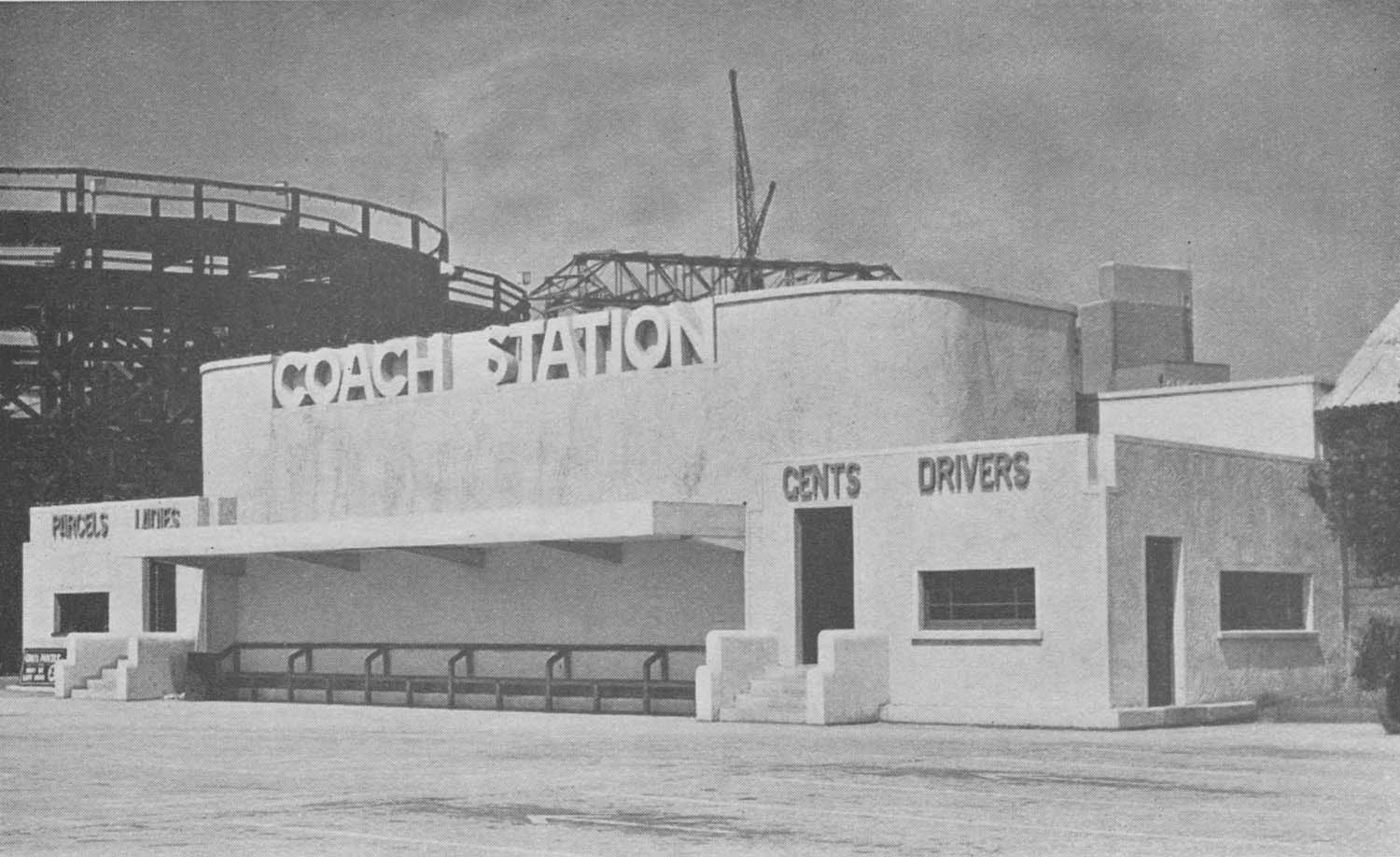
Dreamland Coach station 1934 |
|
|
April 12 2012 |
|||
Photograph added to Margate Storms - Demolition of Jetty. Thanks to Tony Ovenden for the photograph and information |
|||
 |
|||
|
Demolition of Jetty at shore end 1979 |
|||
Postcard added to 'Parade' on OS 1907 Map [Thanks to Tony Ovenden] |
|||
 |
|||
|
The Parade with charabanc |
|||
Postcards of Garlinge/Westgate added to the 1907 Ordnance Survey Map of Margate. |
|||
 |
 |
 |
 |
|
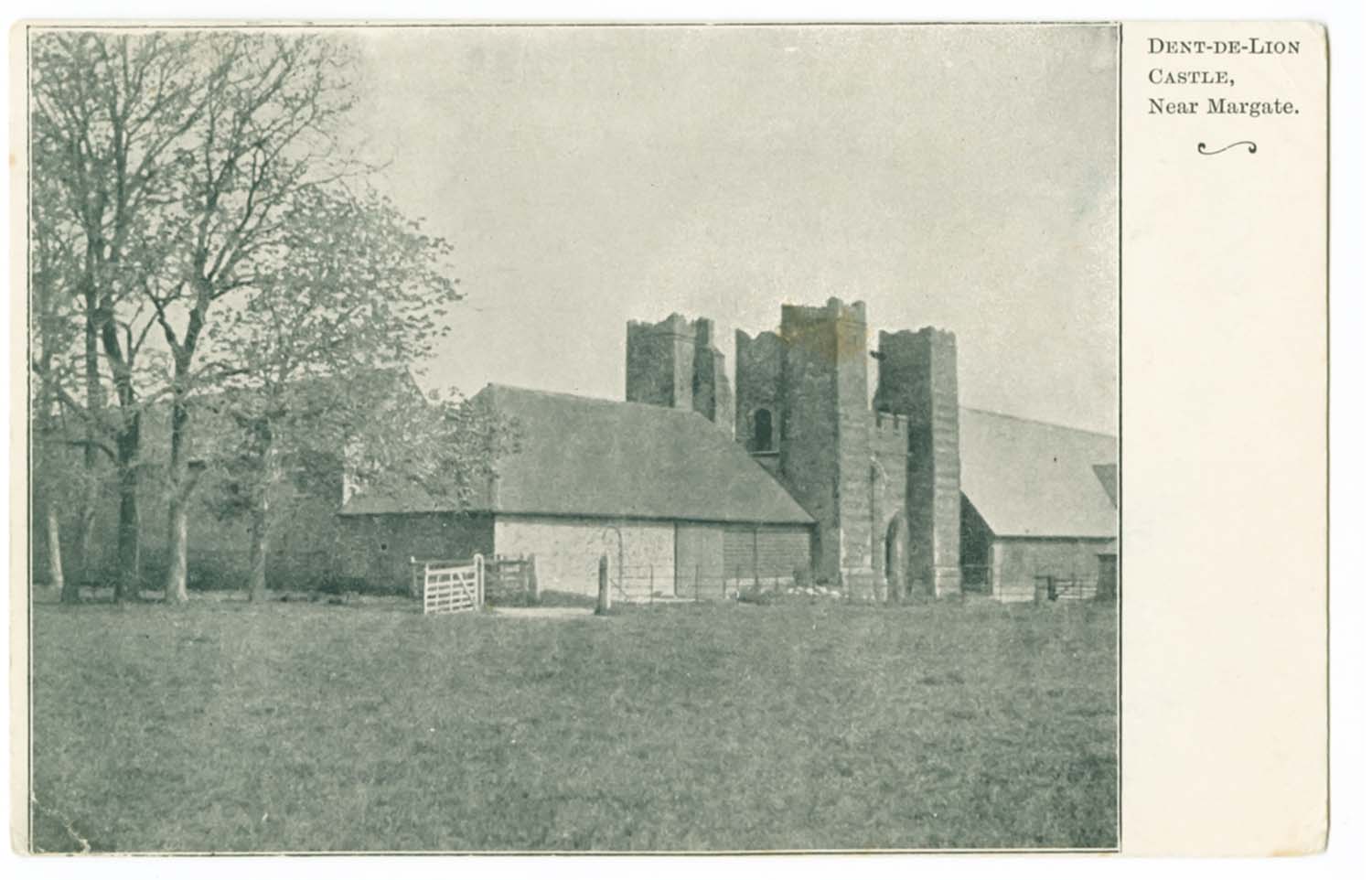
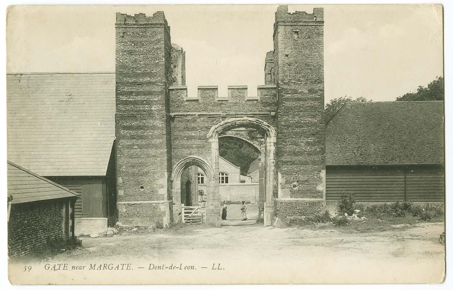
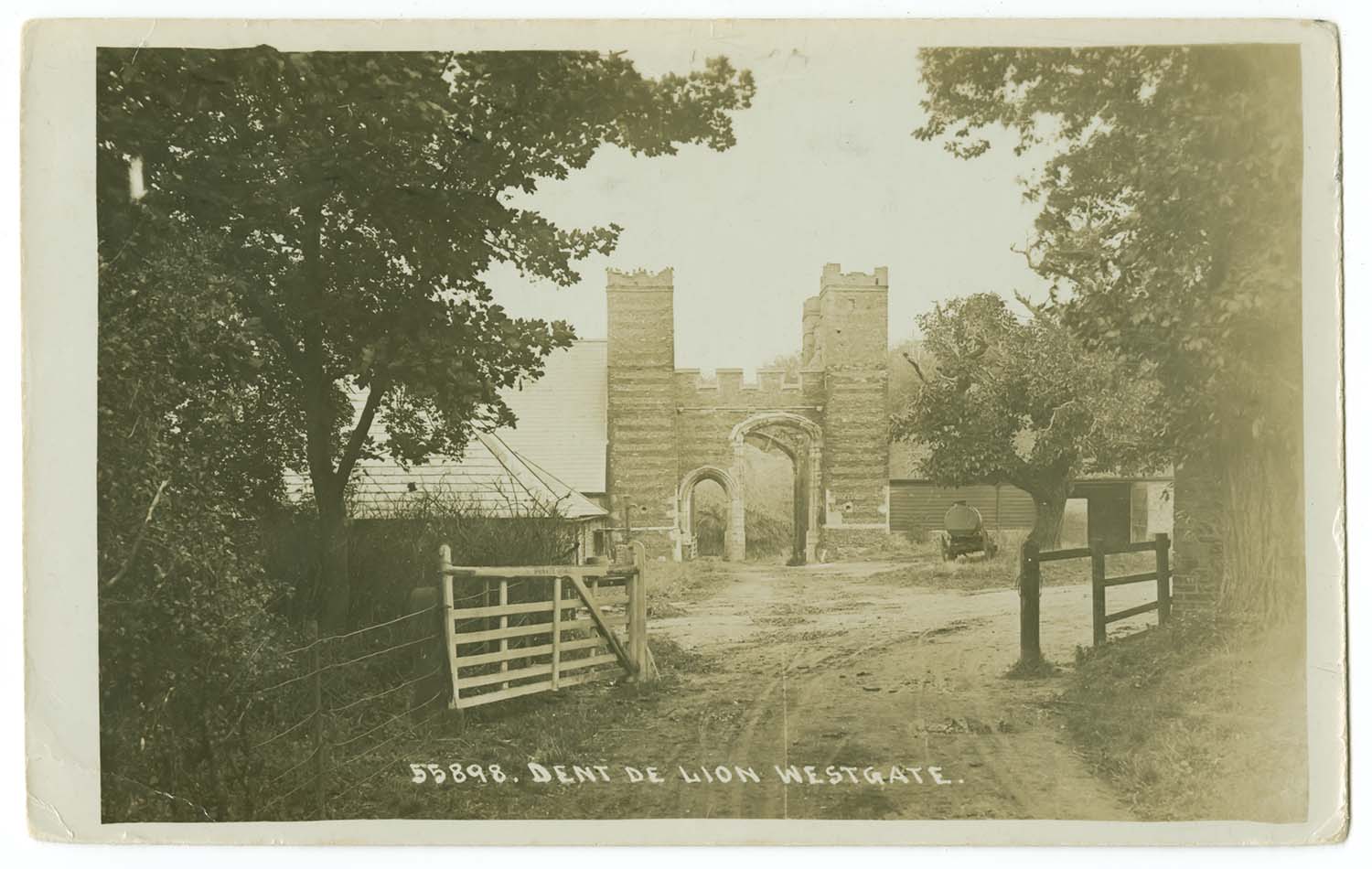
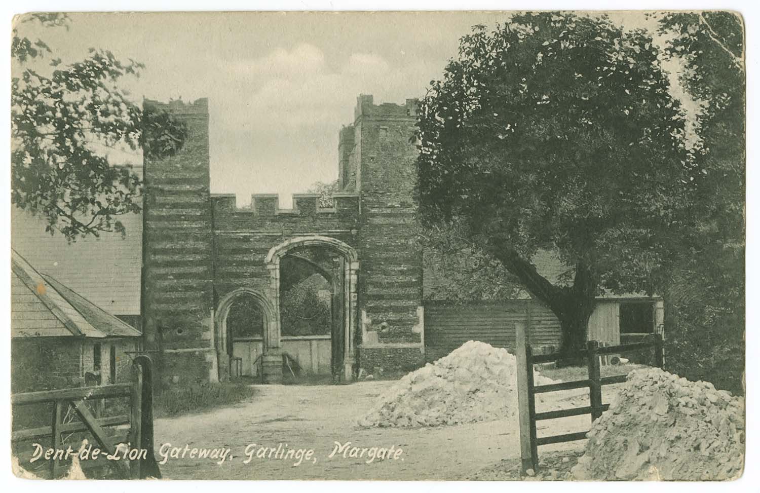
Dent de Lion 1906 |
Dent de Lion 1907 [LL] |
Dent de Lion 1919 |
Dent de Lion |
 |
 |
 |
 |
|
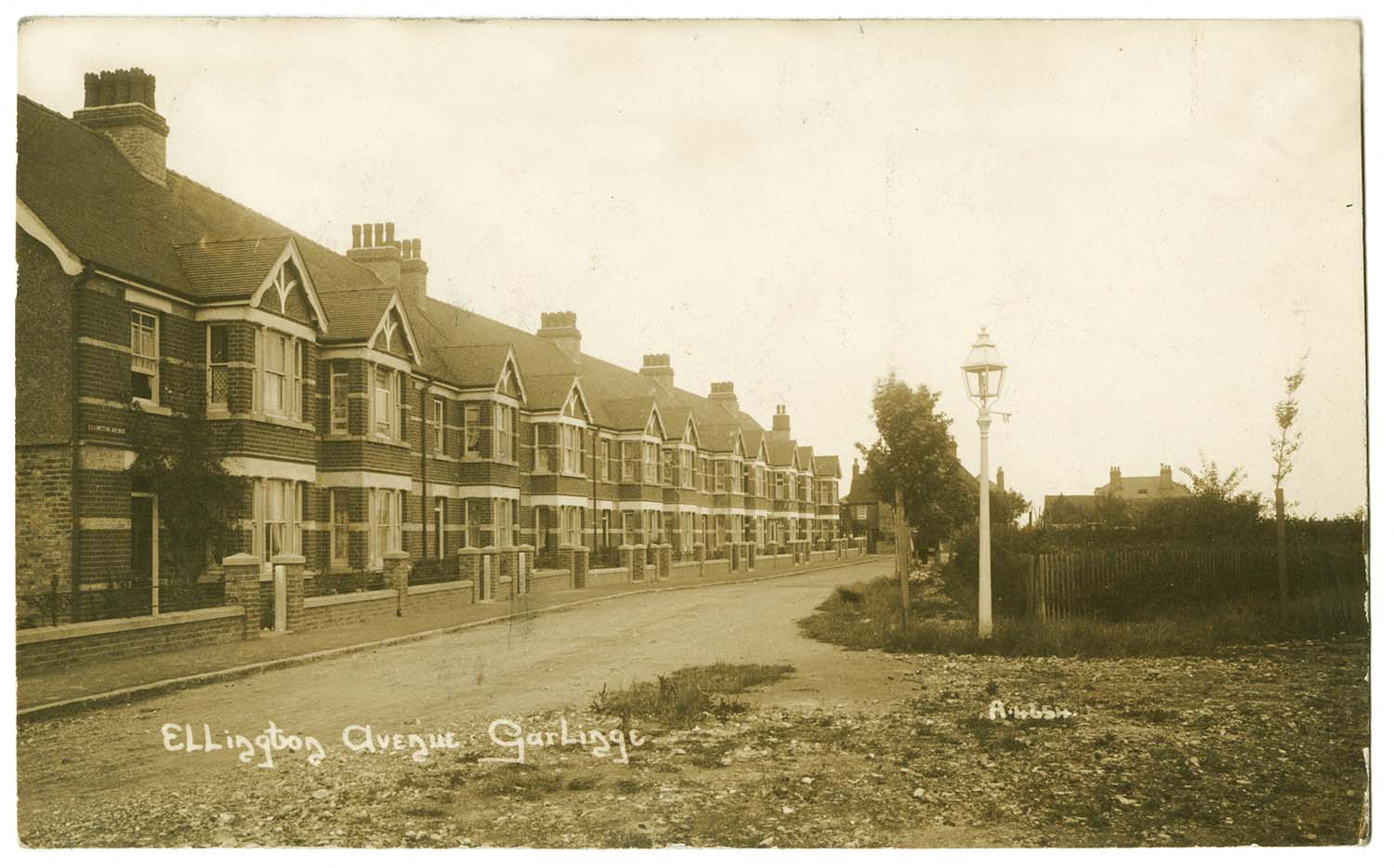
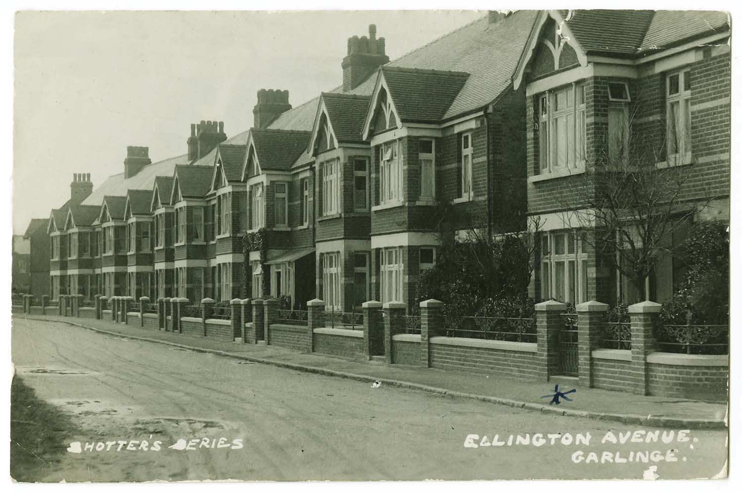
Ellington Avenue 1915 |
Ellington Avenue 1923 |
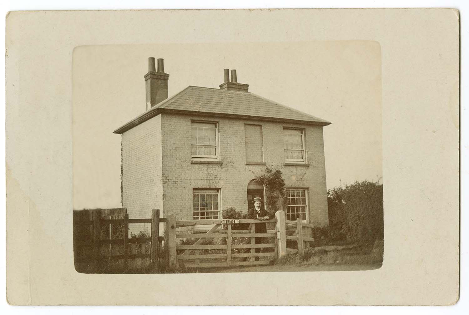
Milford No 11 Ellington Ave 1906 |
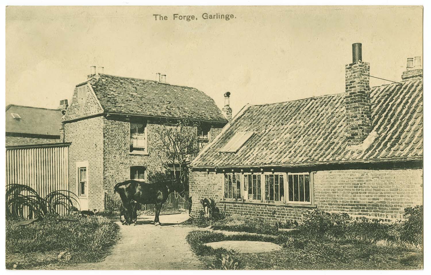
The Forge Garlinge |
 |
 |
 |
 |
|
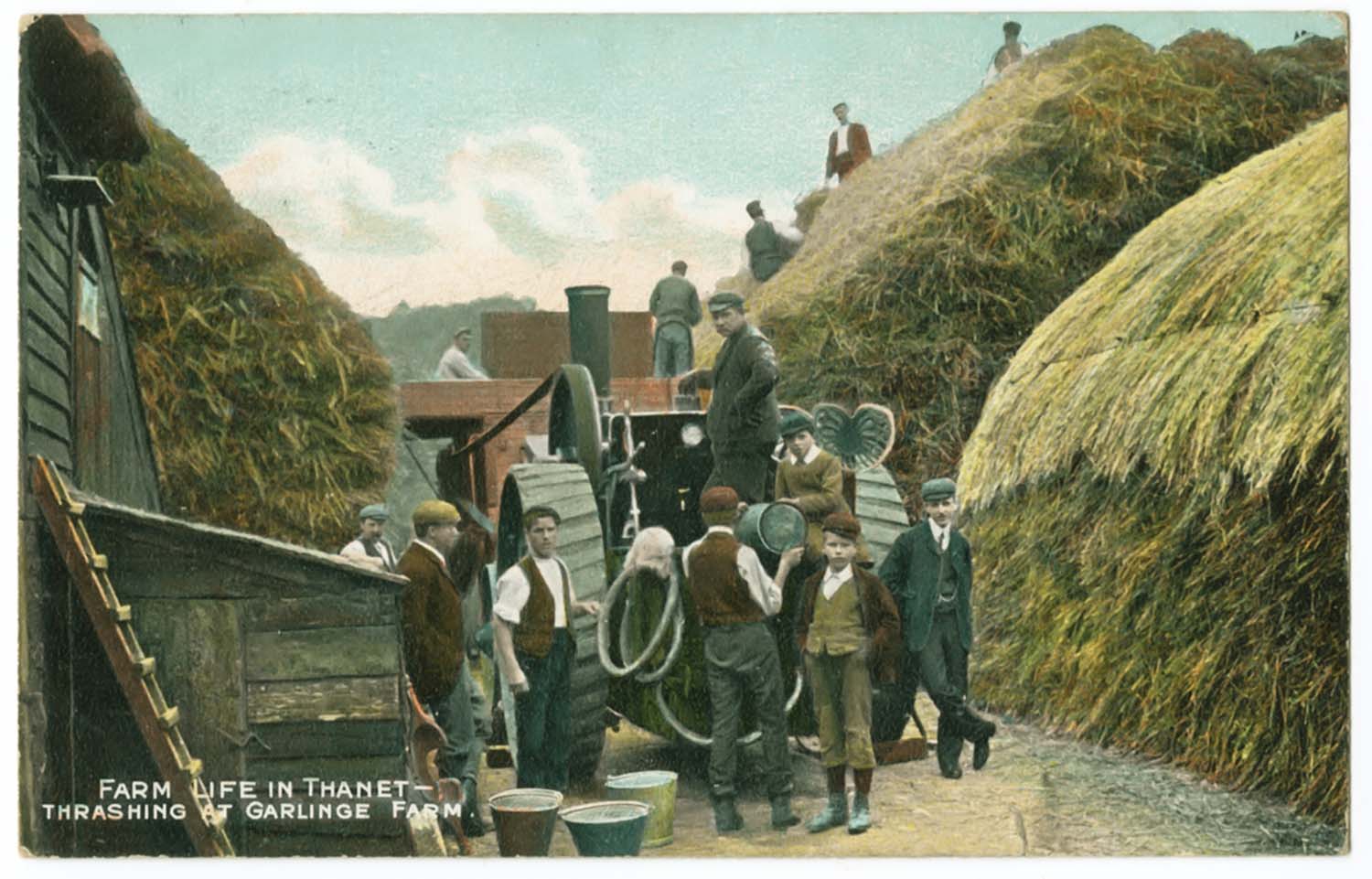
Threshing at Garlinge Farm 1909 |
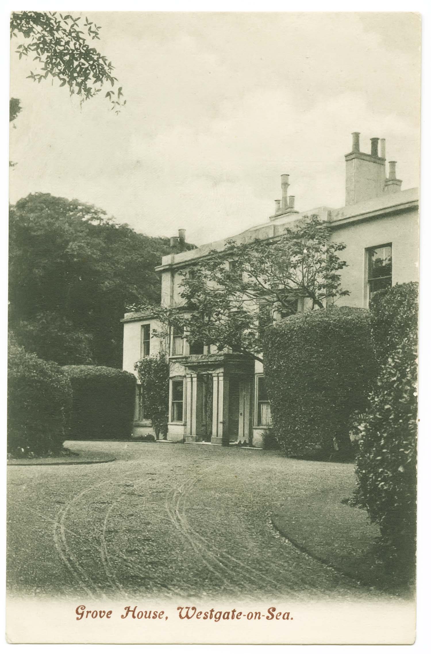
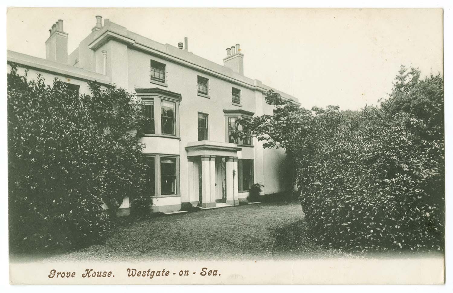
Grove House |
Grove House |
Grove House |
|
April 10 2012 |
|||
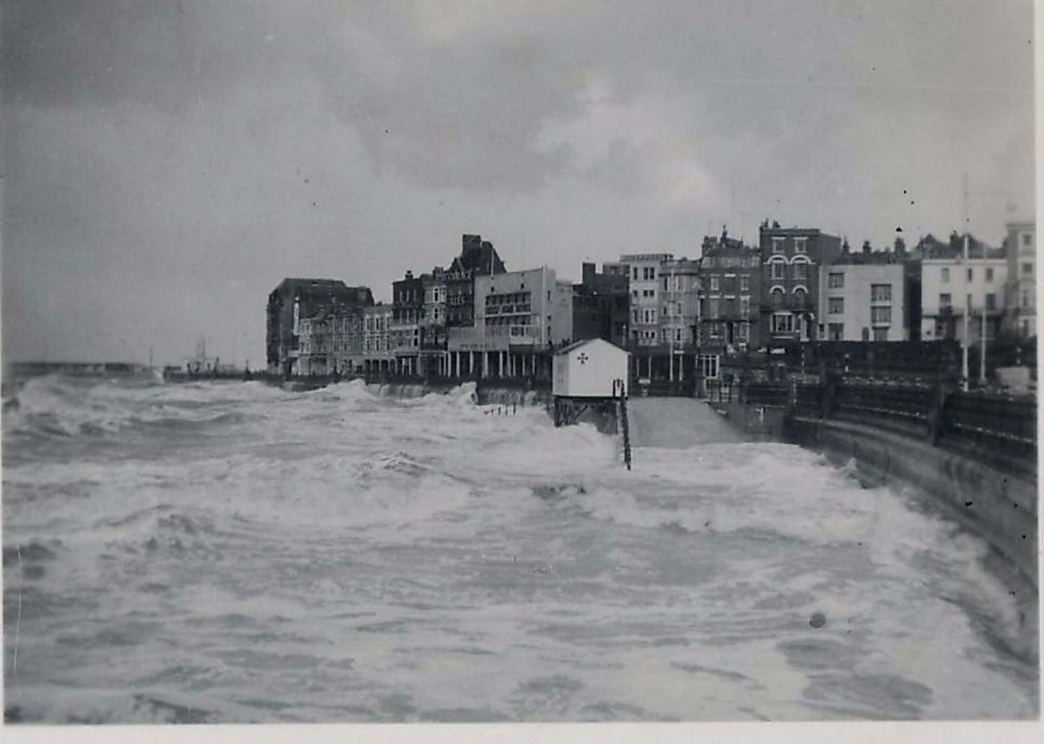
Pictures added to Margate Storms - 1953. Thanks to Suzannah Foad for the pictures |
|||
 |
 |
||
|
Storm at the Sun deck 1953 |
Storm at Marine Drive 1953 |
||
Postcard added to 'Royal Seabathing Hospital' on OS 1907 Map, showing the hospital before the promenade was constructed in 1901 [despite the postmark on the card being 1902]. Thanks to Tony Ovenden for the picture and the information. |
|||
 |
|||
|
Sea Bathing Hospital pre-promenade |
|||
Postcards added to the 1907 Ordnance Survey Map of Margate. |
|||
 |
 |
 |
 |
|
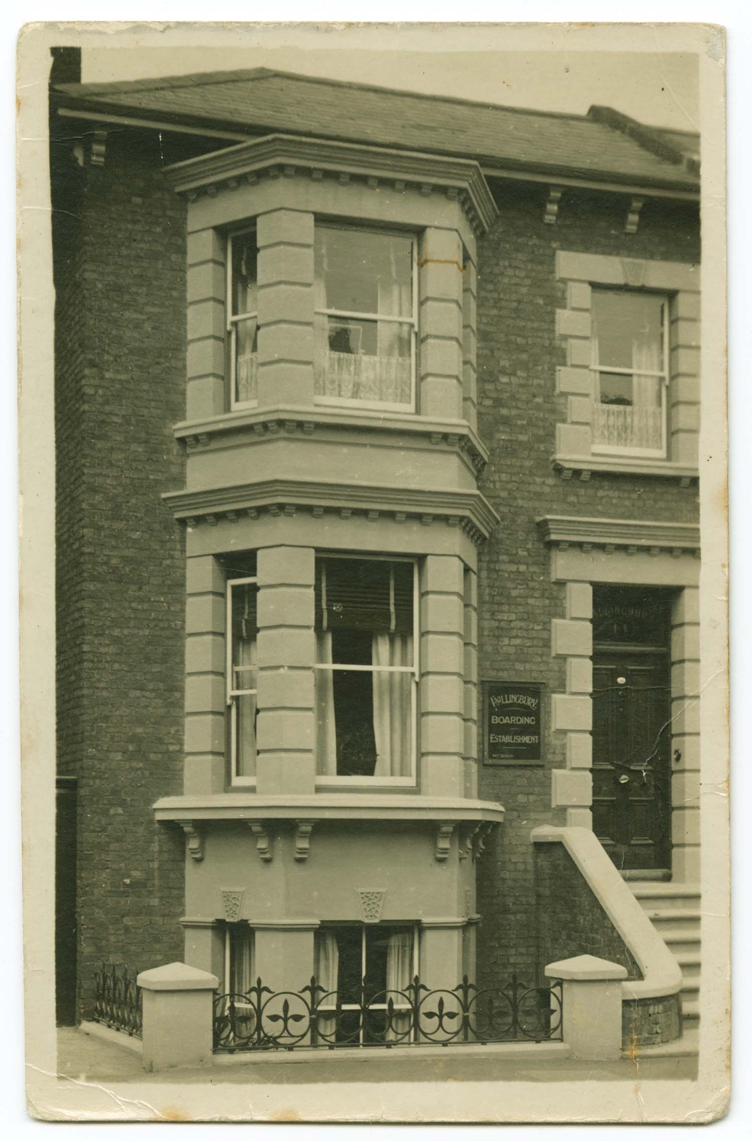
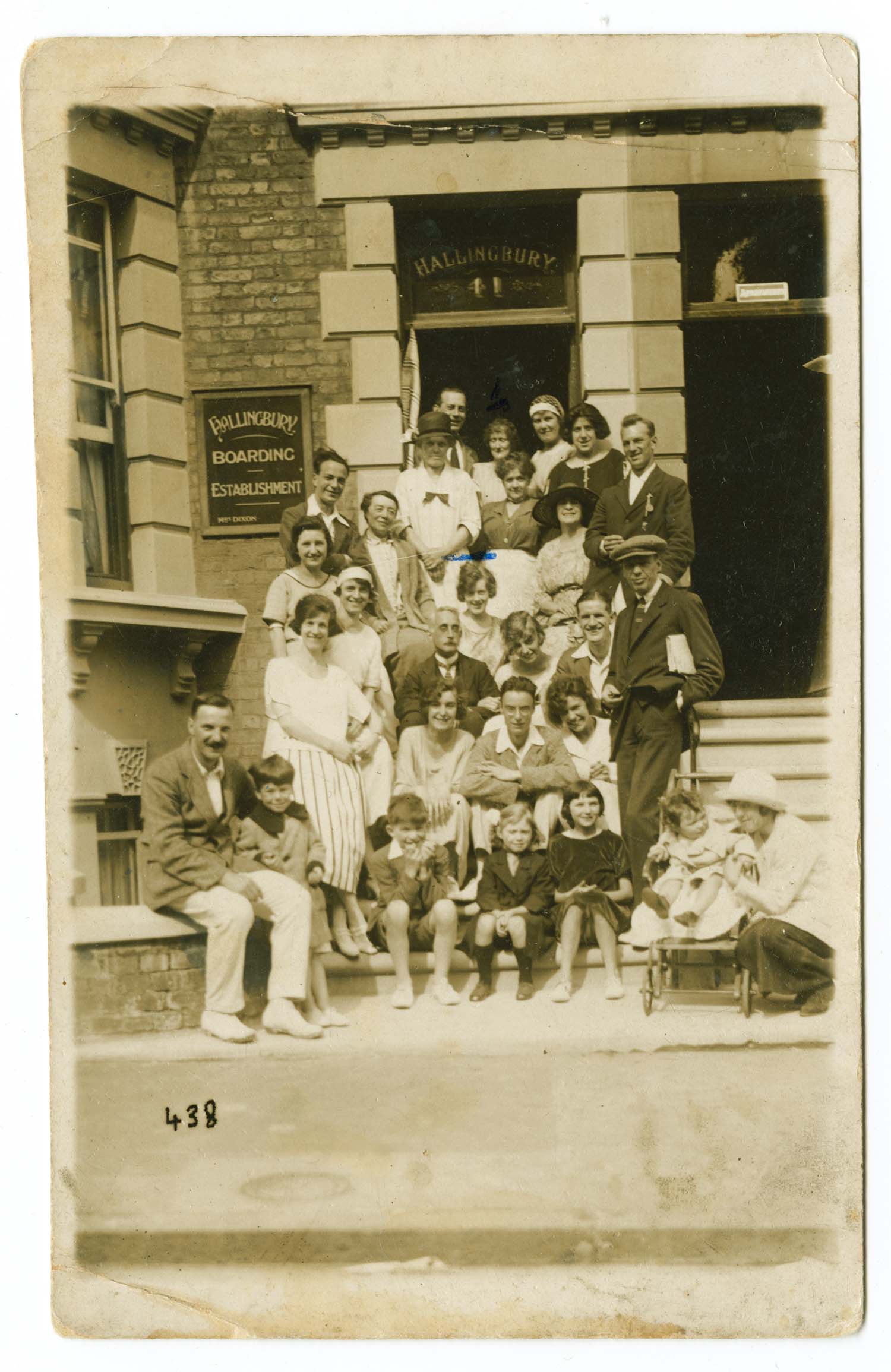
Athelstan Road 41 Hallingbury 1922 |
Athelstan Road 41 Hallingbury |
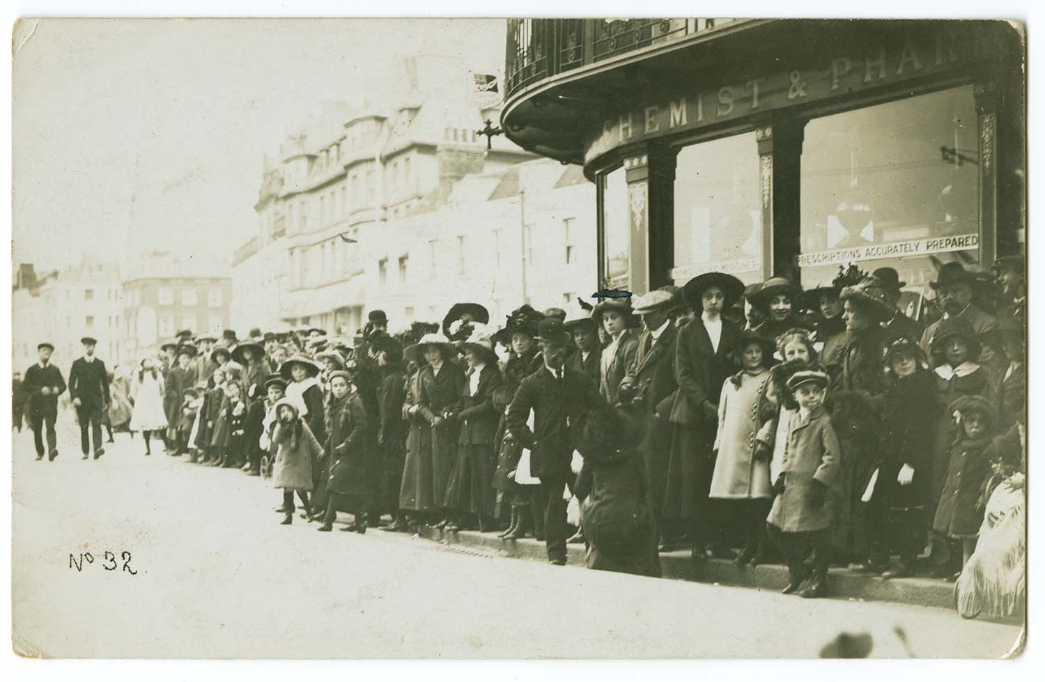
D.T. Evans High Street- Church Parade |
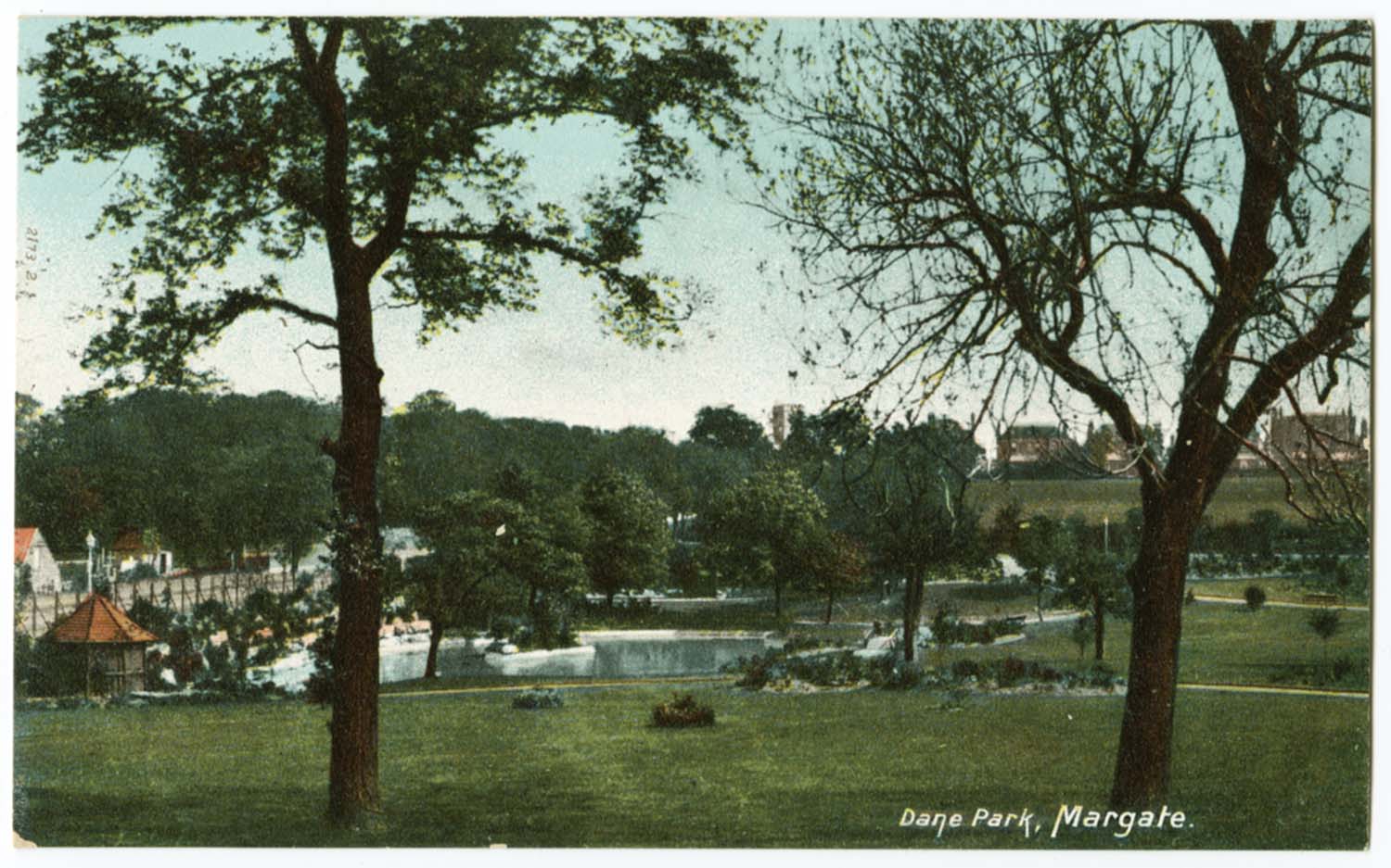
Dane Park and Lake |
 |
 |
 |
 |
|
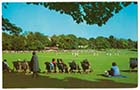
Dane Park cricket match |
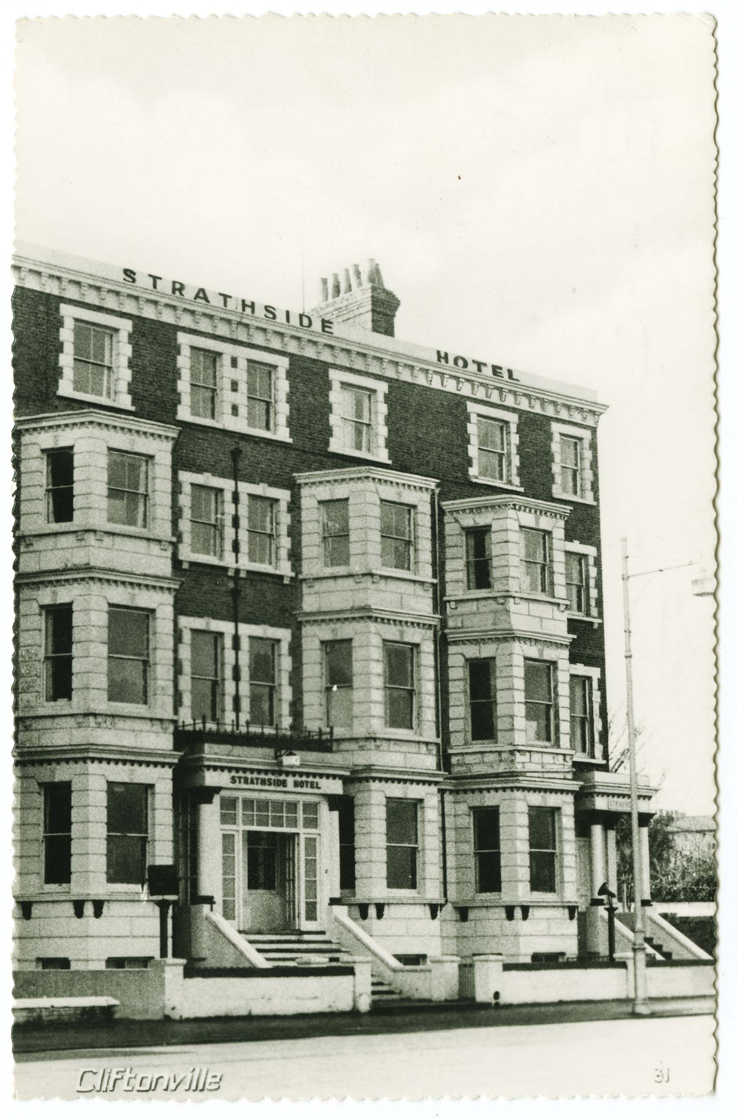
Eastern Esplanade Strathside 1960 |
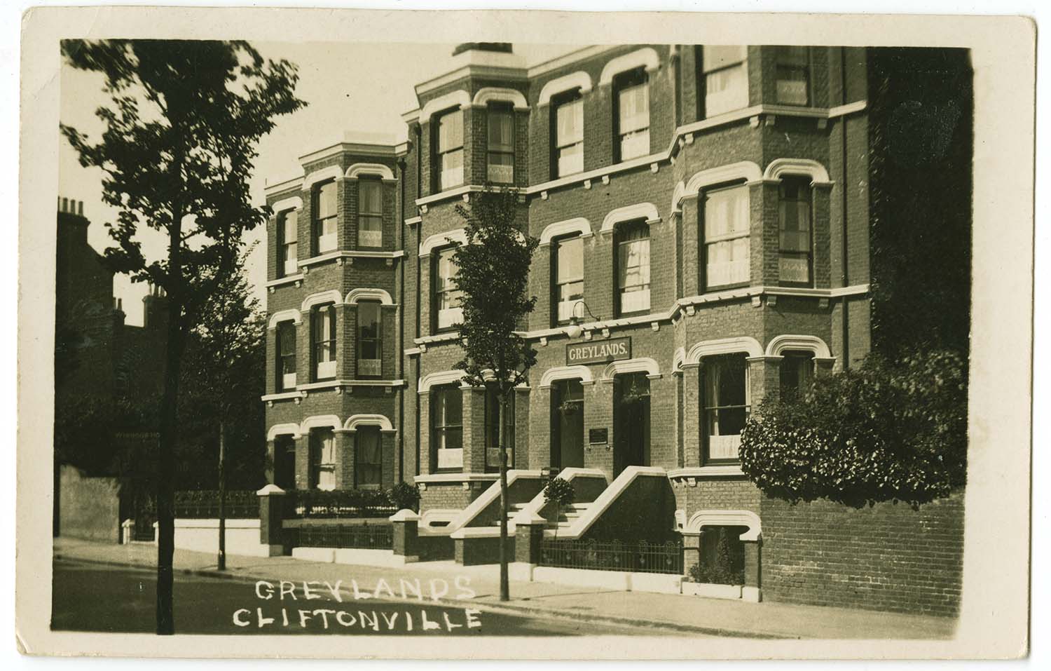
Edgar Road 56 57 58 Greylands |
Edgar Road Glenwood |
 |
 |
 |
 |
|
Ethelbert Crescent 1910 |
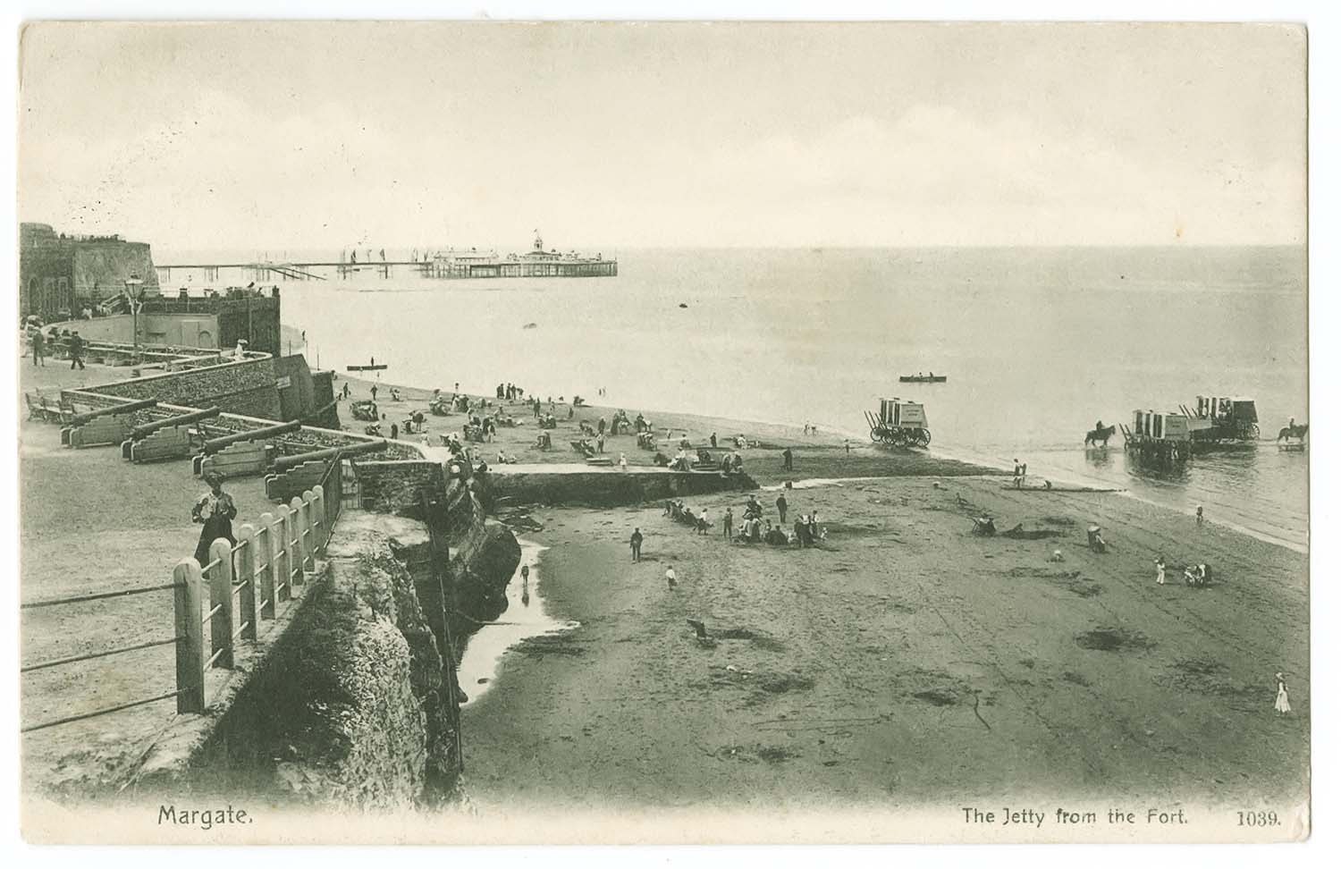
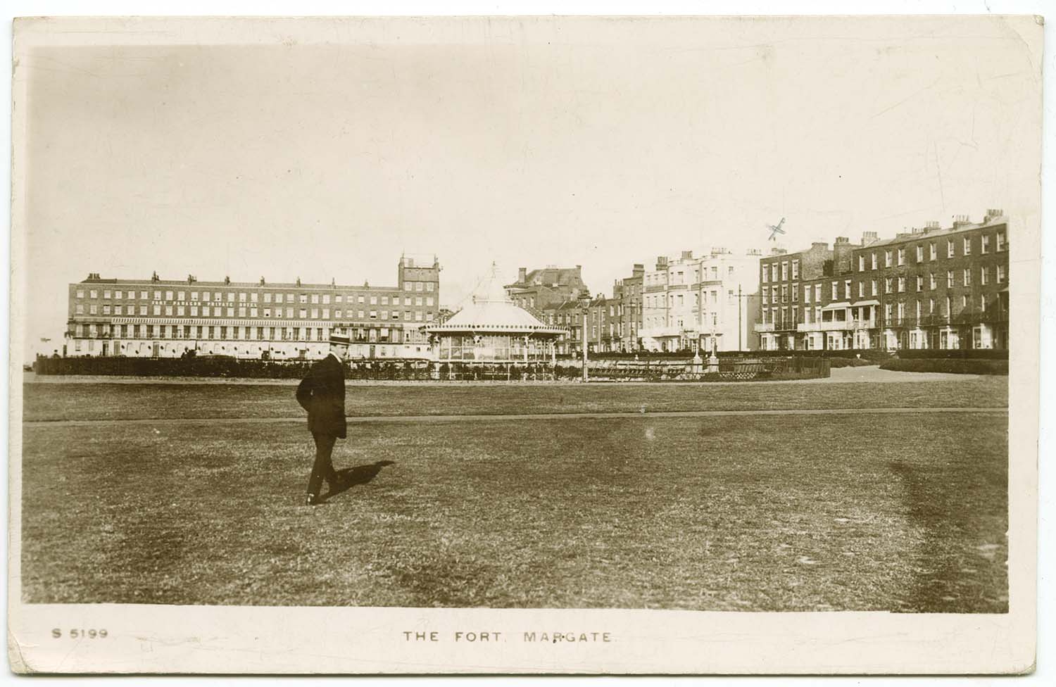
Fort 1904 |
Fort Green and Bandstand 1911 |
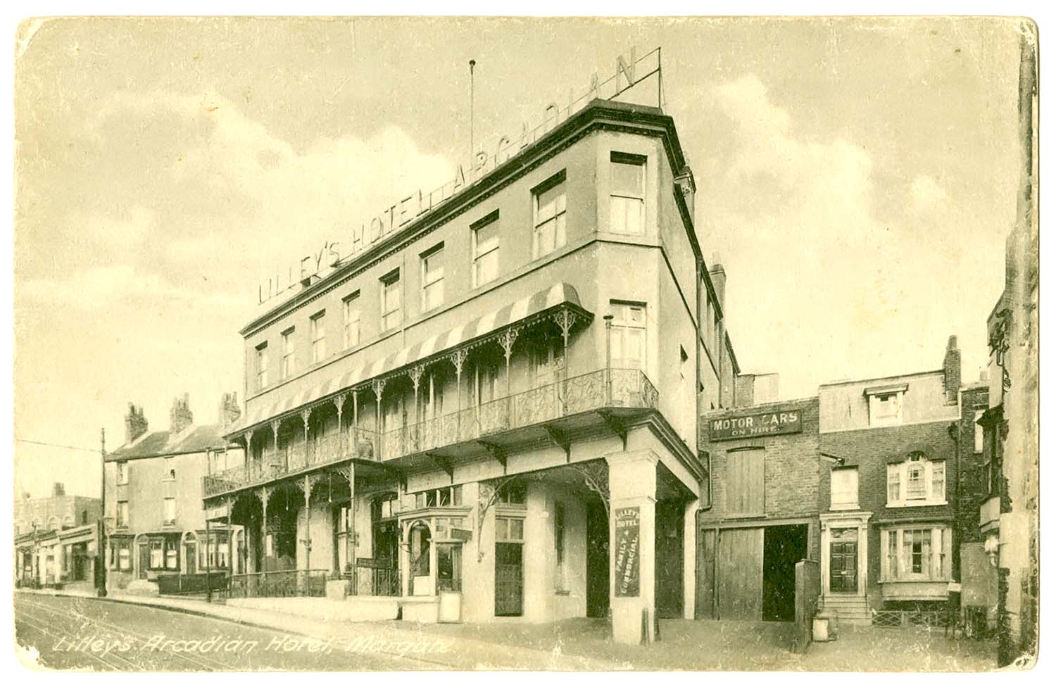
Fort Road Lilleys Arcadian Hotel |
 |
 |
 |
 |
|
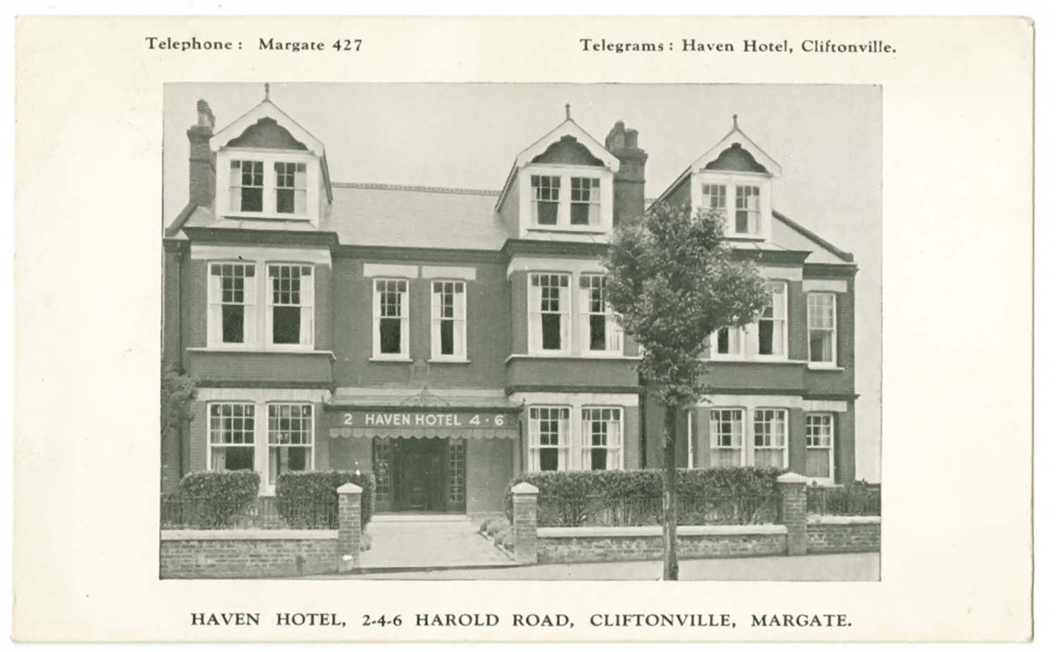
Harold Road Haven Hotel |
Hawley Square 1934 |
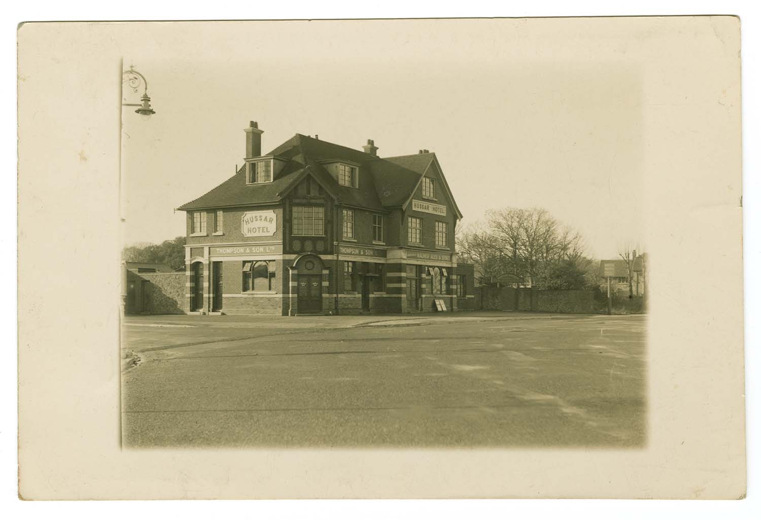
Hussar Garlinge 1946 |
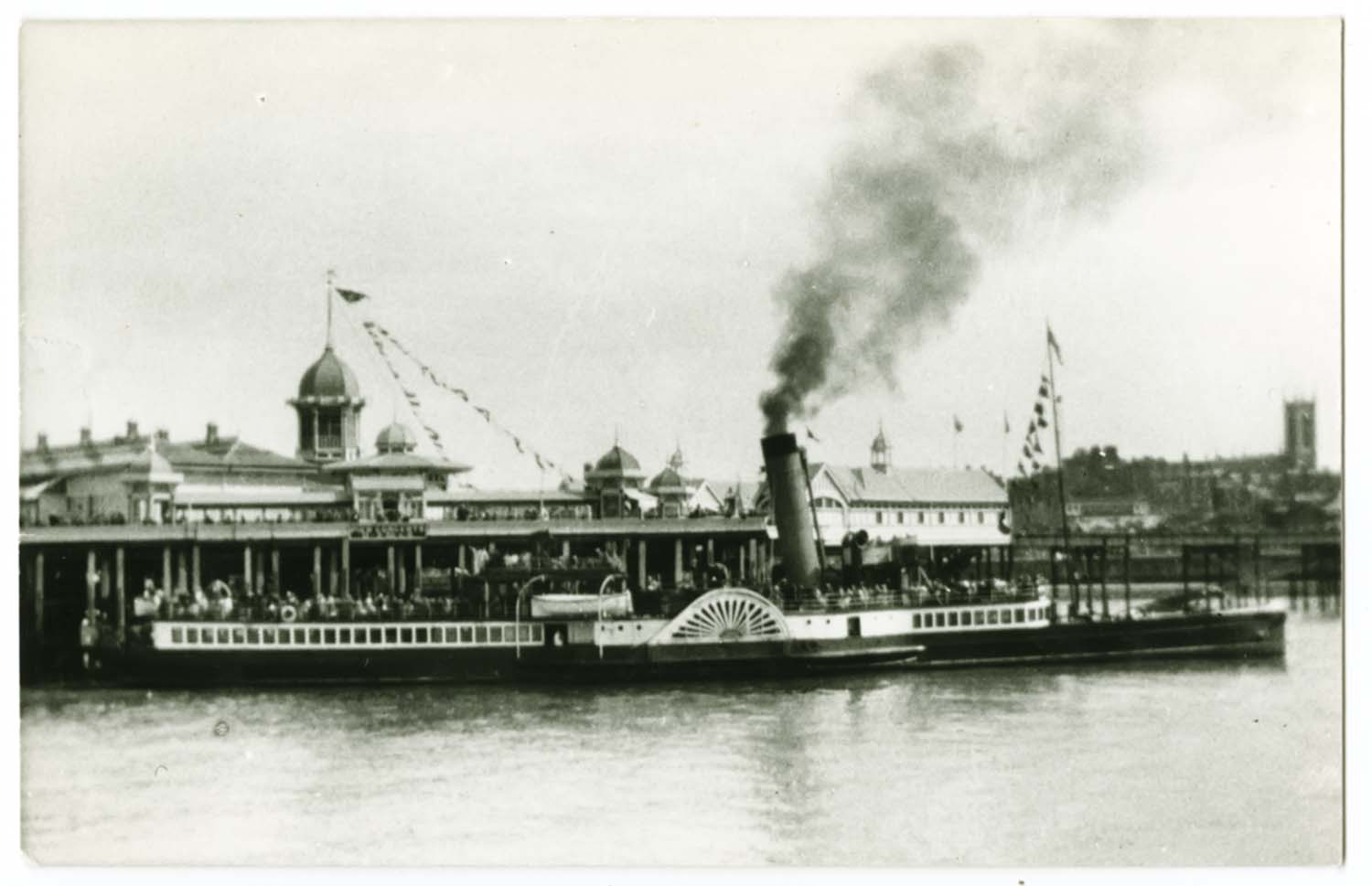
Jetty Head Isle of Arran |
|
April 8 2012 |
|||
Postcards of Garlinge added to the 1907 Ordnance Survey Map of Margate. |
|||
 |
 |
 |
|
|
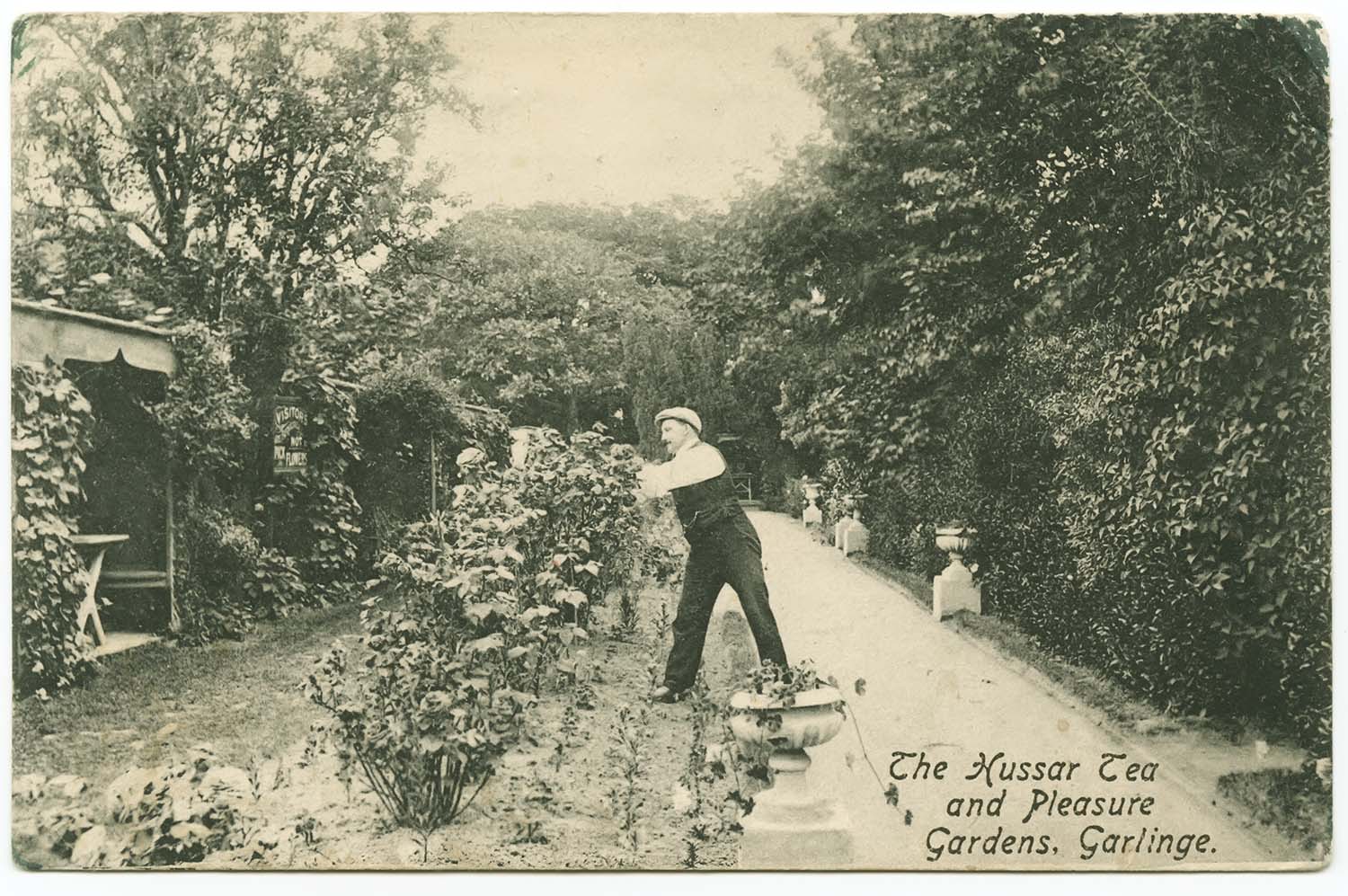
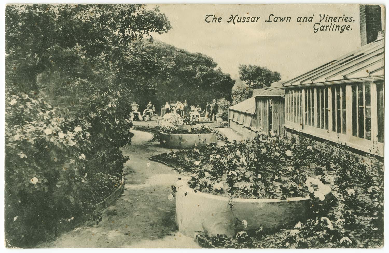
Hussar Gardens |
Hussar Gardens |
Inn 1914 |
|
|
|
||
|
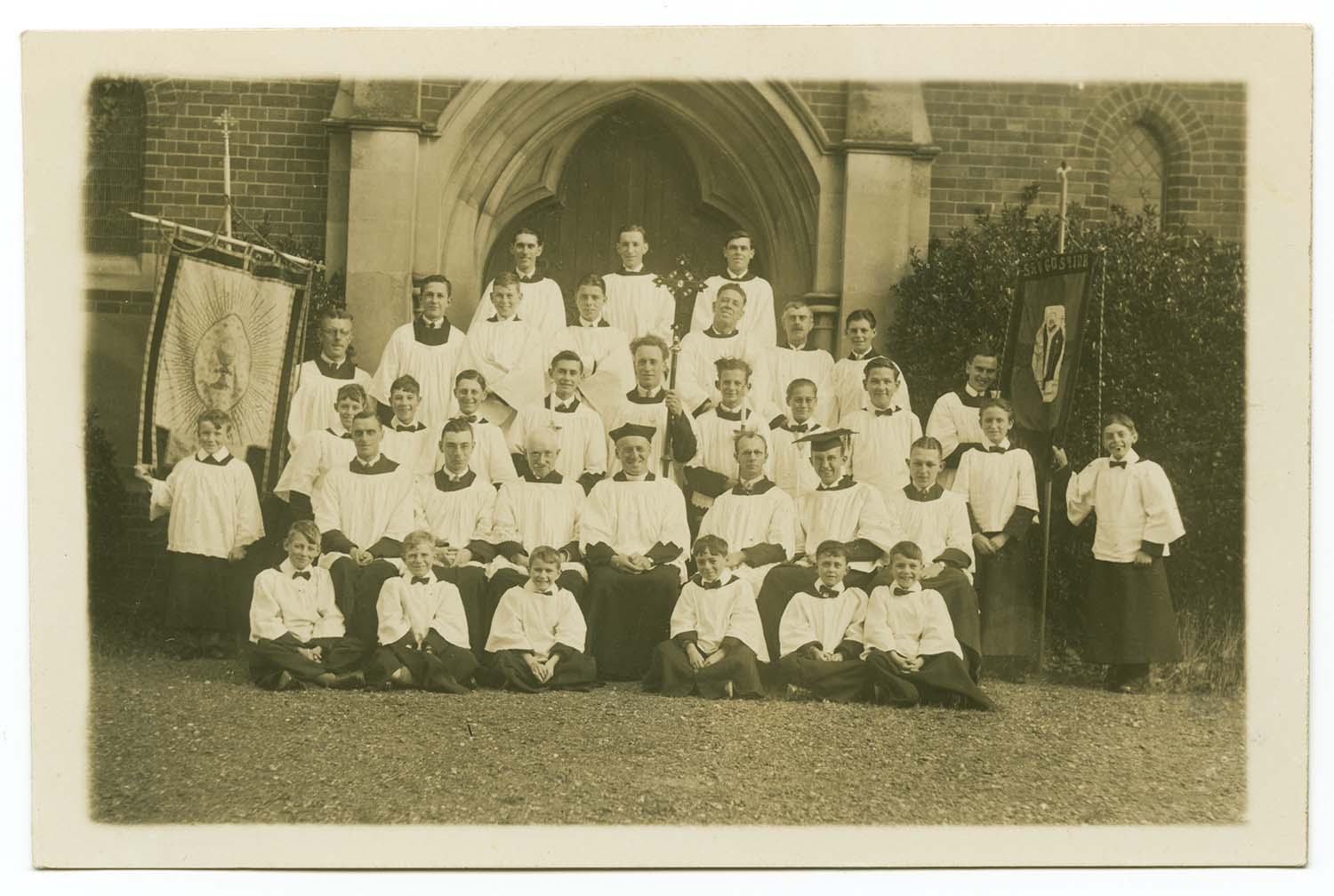
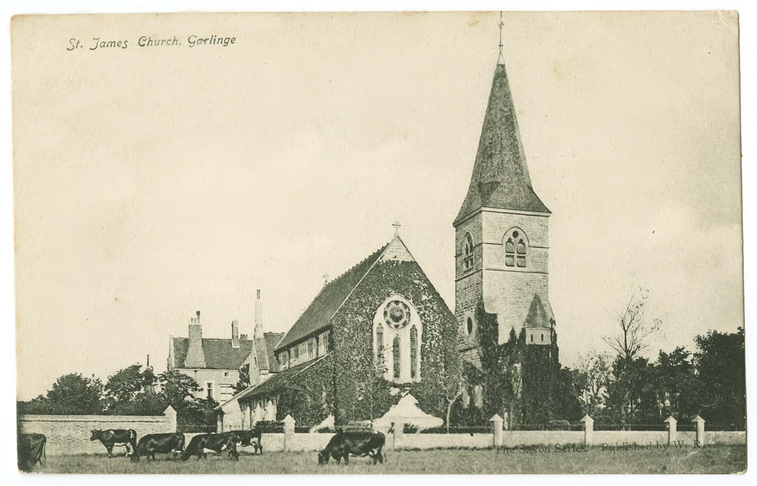
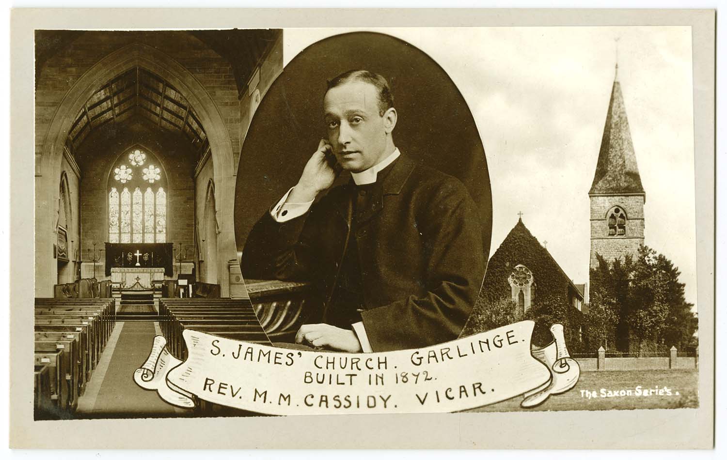
St James Church 1907 |
St James Church and Vicar 1907 |
||
 |
 |
 |
|
|
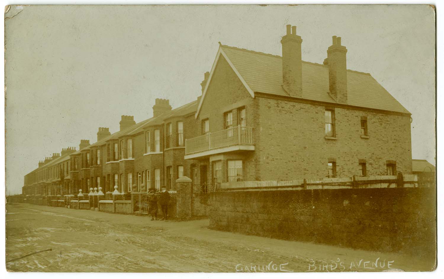
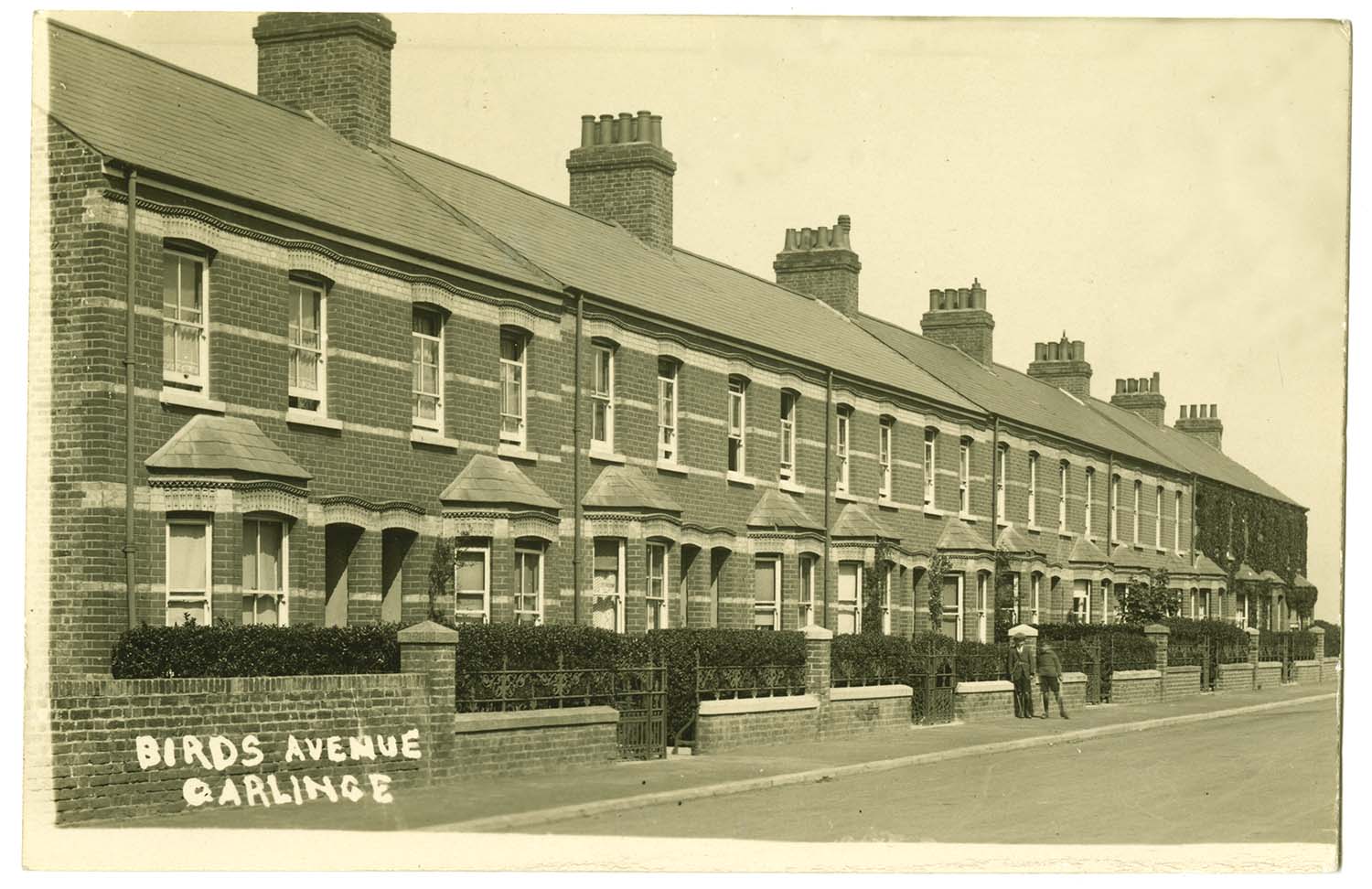
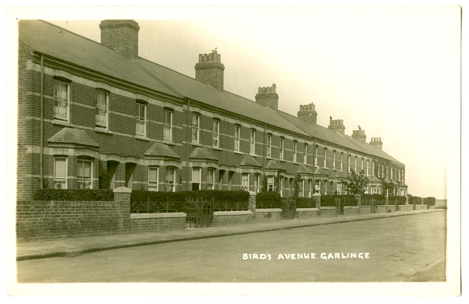
Birds Avenue 1912 |
Birds Avenue 1922 |
Birds Avenue |
|
 |
 |
 |
|
|
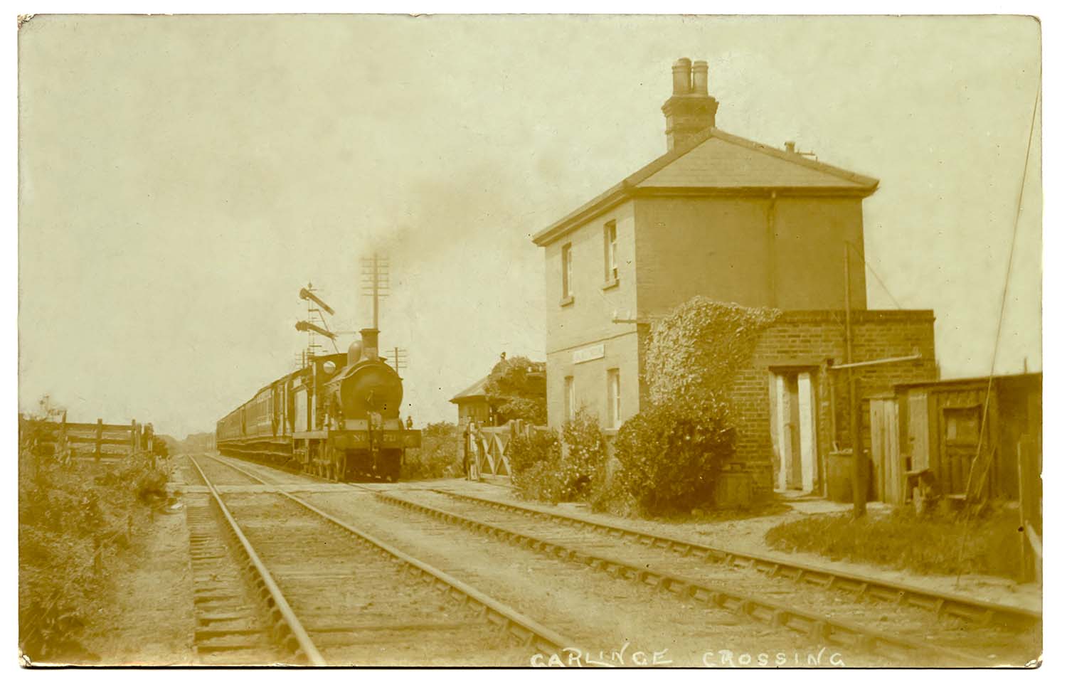
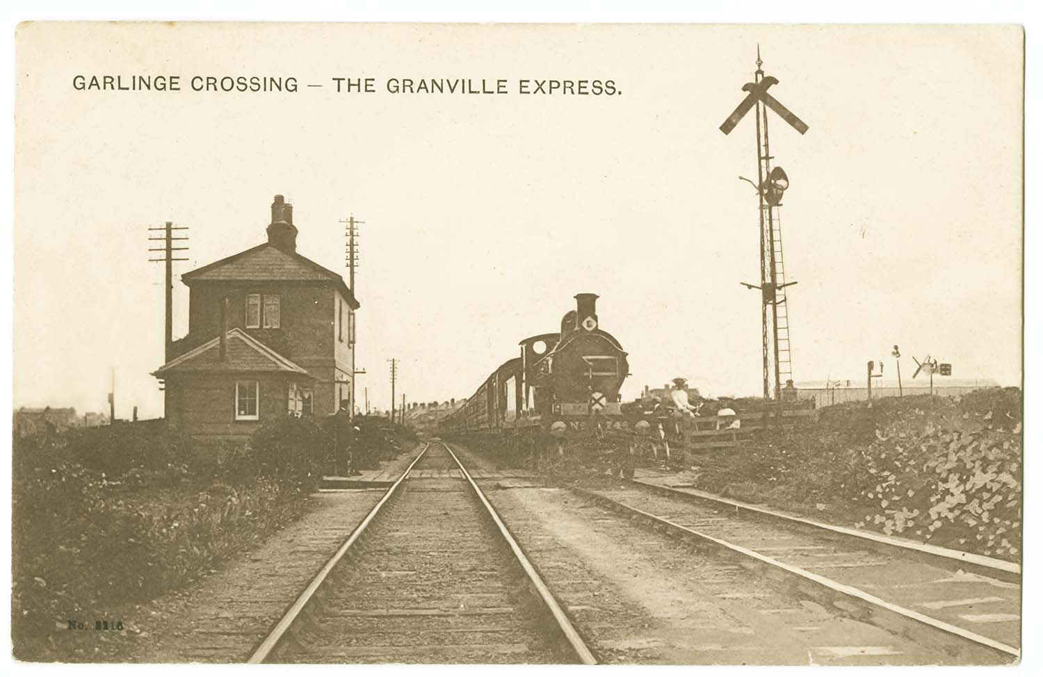
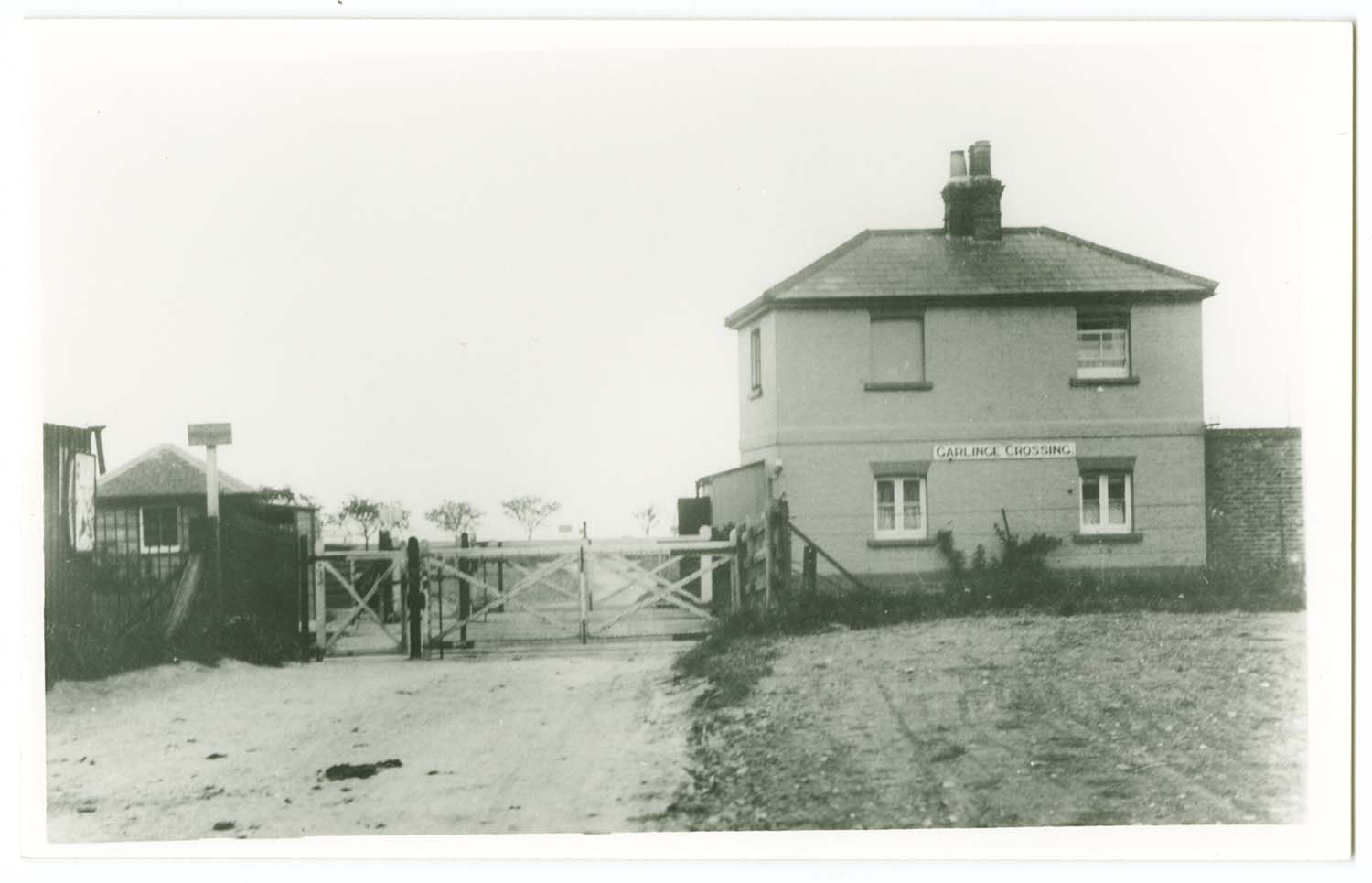
Garlinge Railway Crossing |
Garlinge Railway Crossing 1906 |
Garlinge Railway Crossing |
|
 |
 |
 |
 |
|
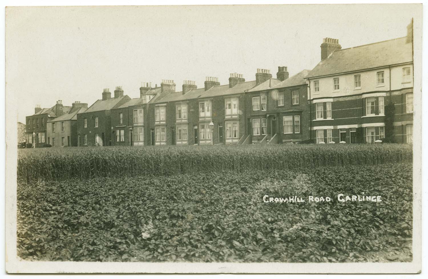
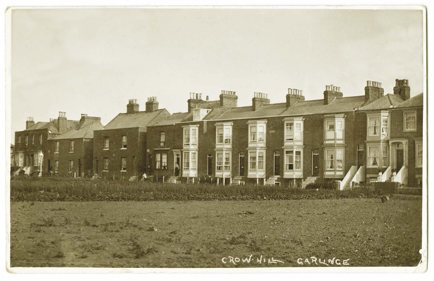
Crow Hill Road |
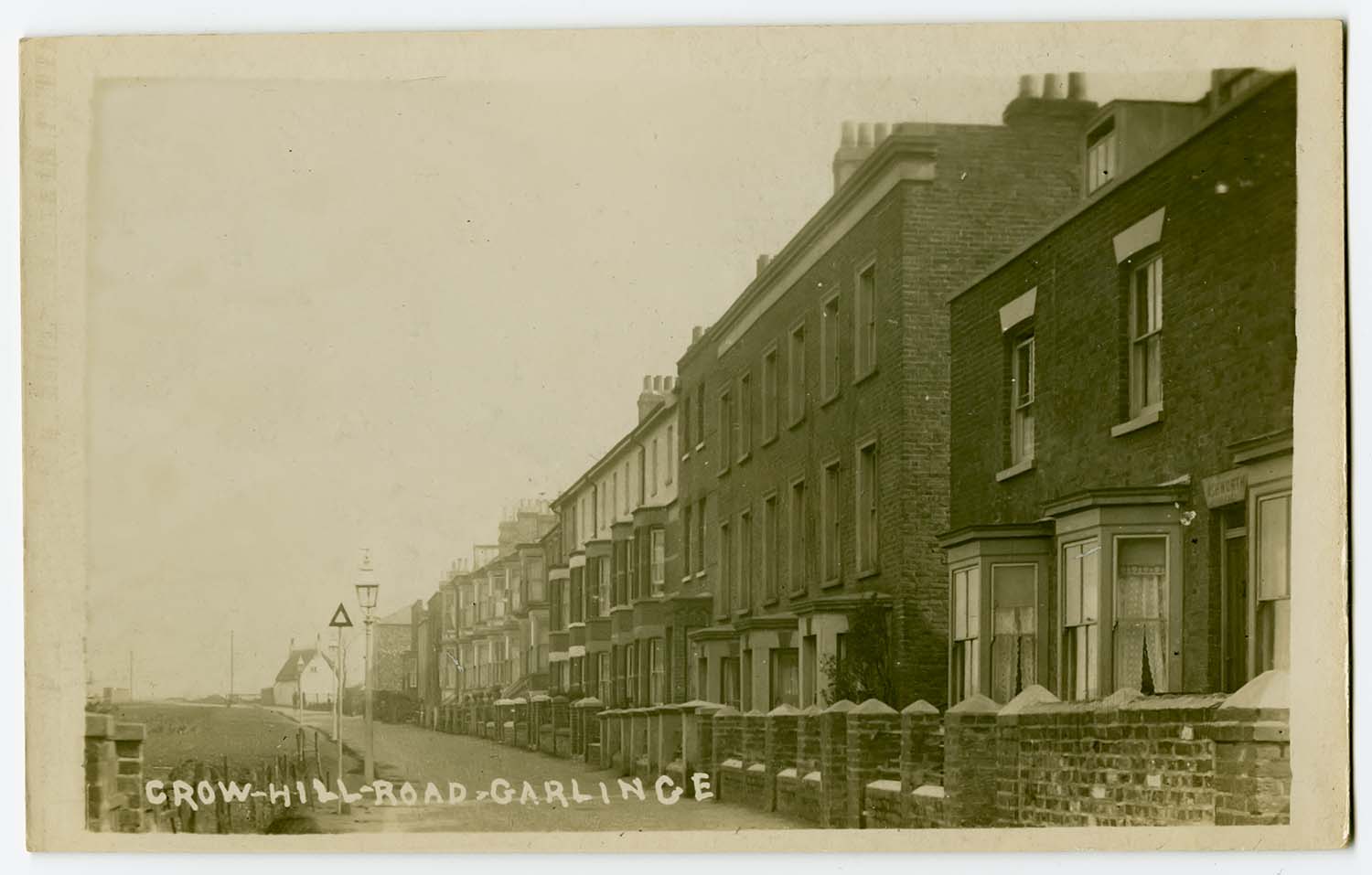
Crow Hill Road |
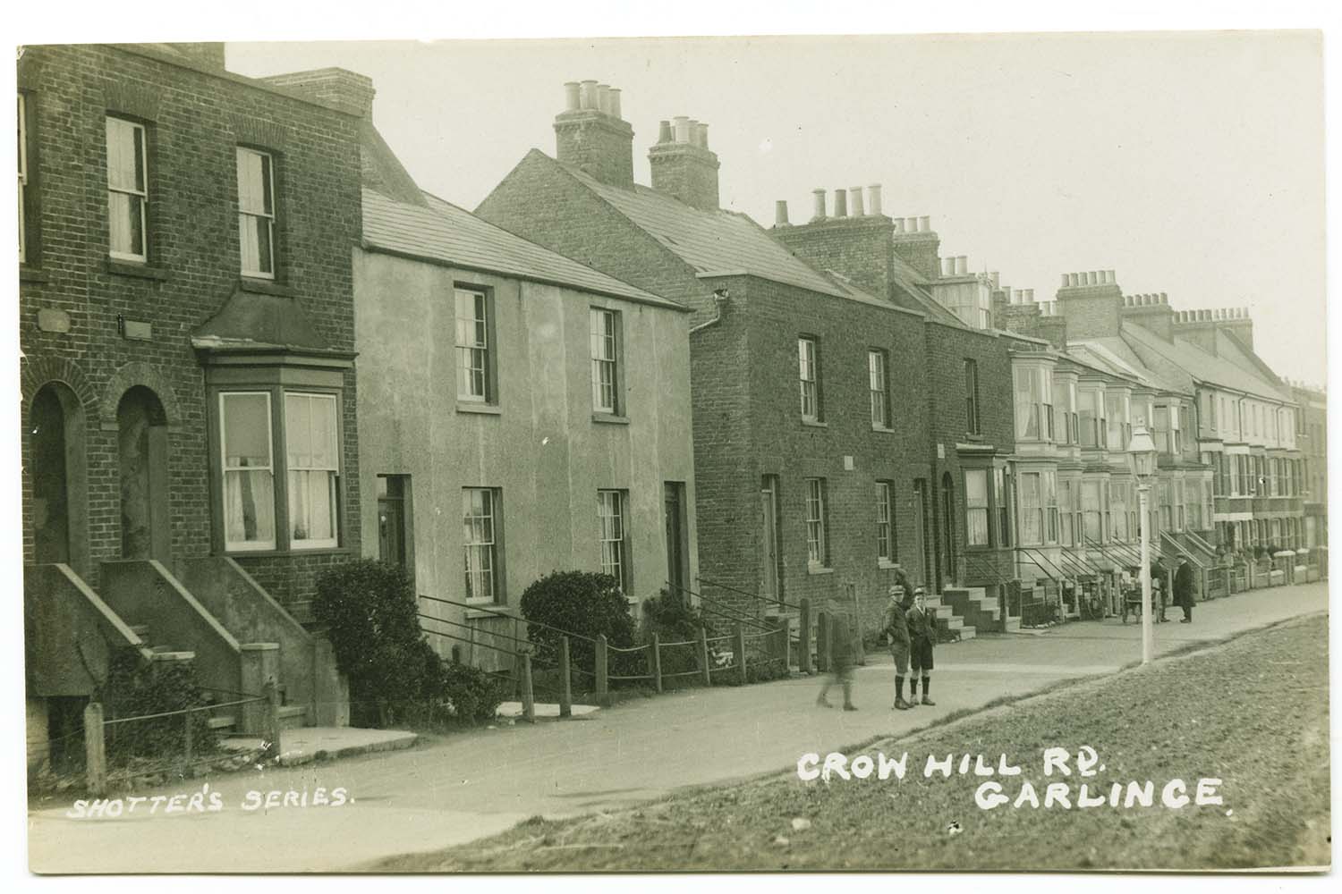
Crow Hill Road |
Crow Hill Road |
 |
 |
||
|
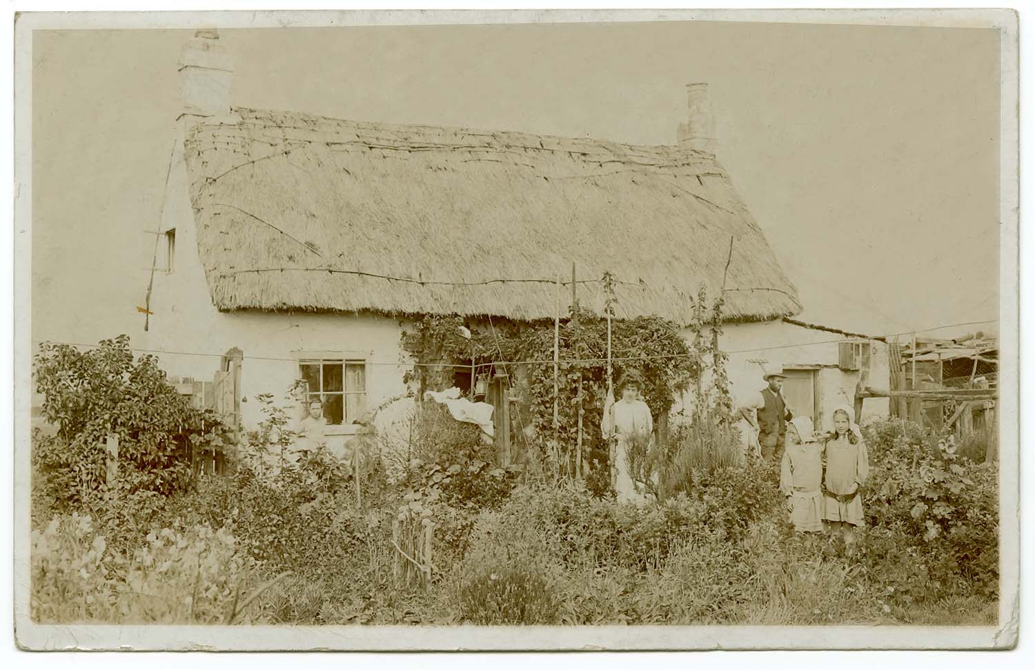
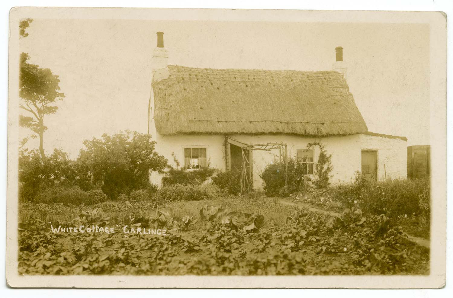
White Cottage 1910 |
White Cottage 1924 |
||
|
April 6 2012 |
|||
Pictures of Tivoli Gardens added to the 1873 Ordnance Survey Map 10ft/mile, including a rare Stereocard and Lantern Slide |
|||
|
|

|
![Tivoli Gardens [Stereocard] | Margate History](../Pictures/Photos/Stereos/Tivoli Gardens.jpg)
|
|
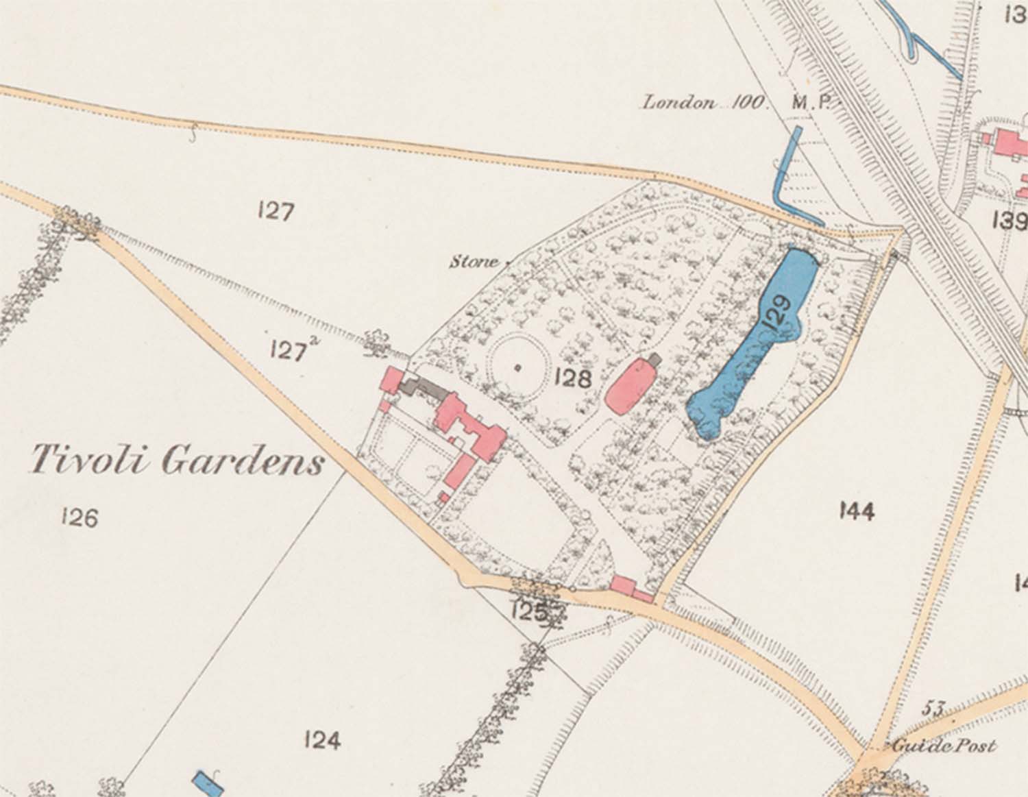
Map of Tivoli Gardens [1872] |
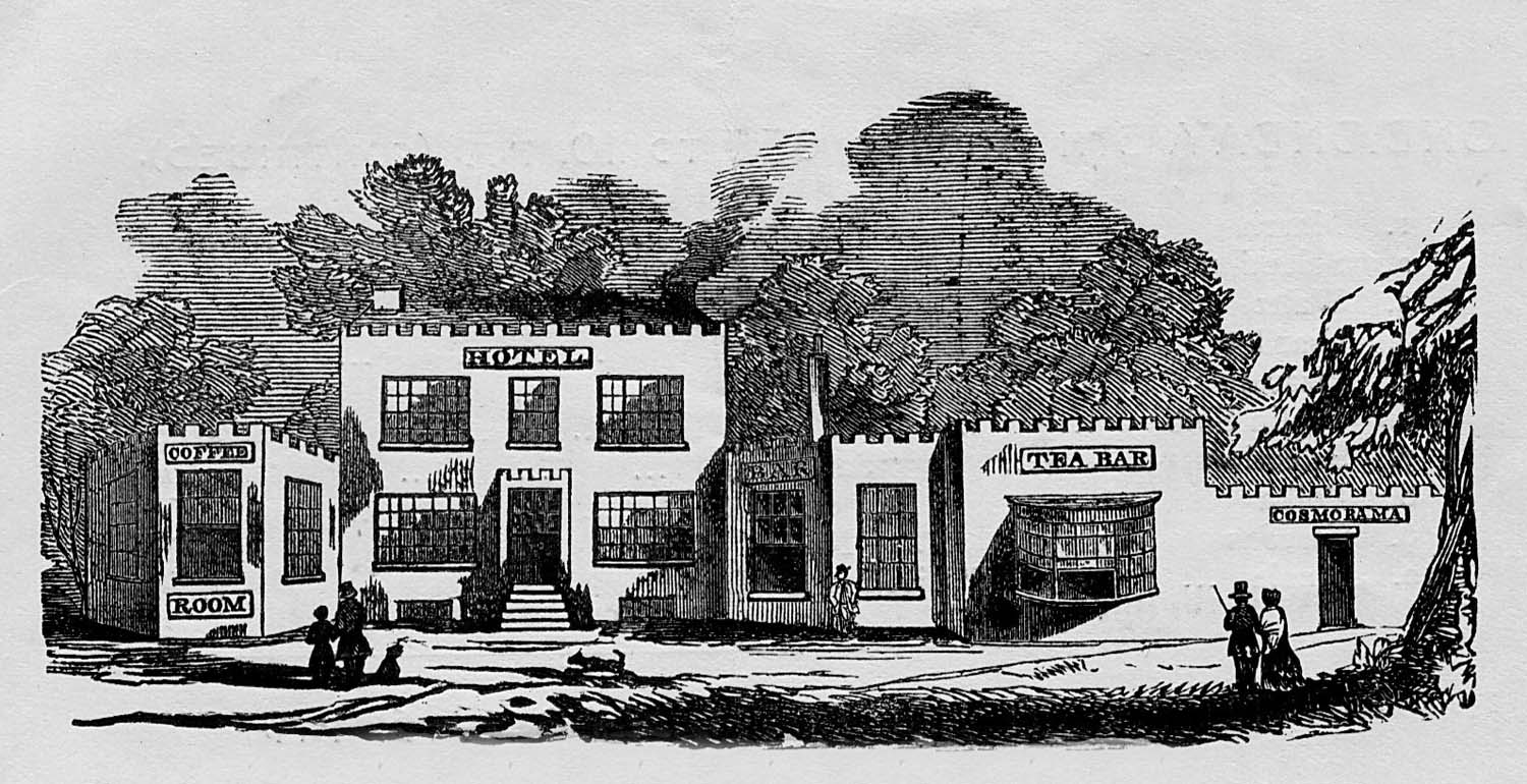
Tivoli Hotel Tea Bar Cosmorama 1848 [Jim Greaves] |
Tivoli Gardens [Print ca 1834] |
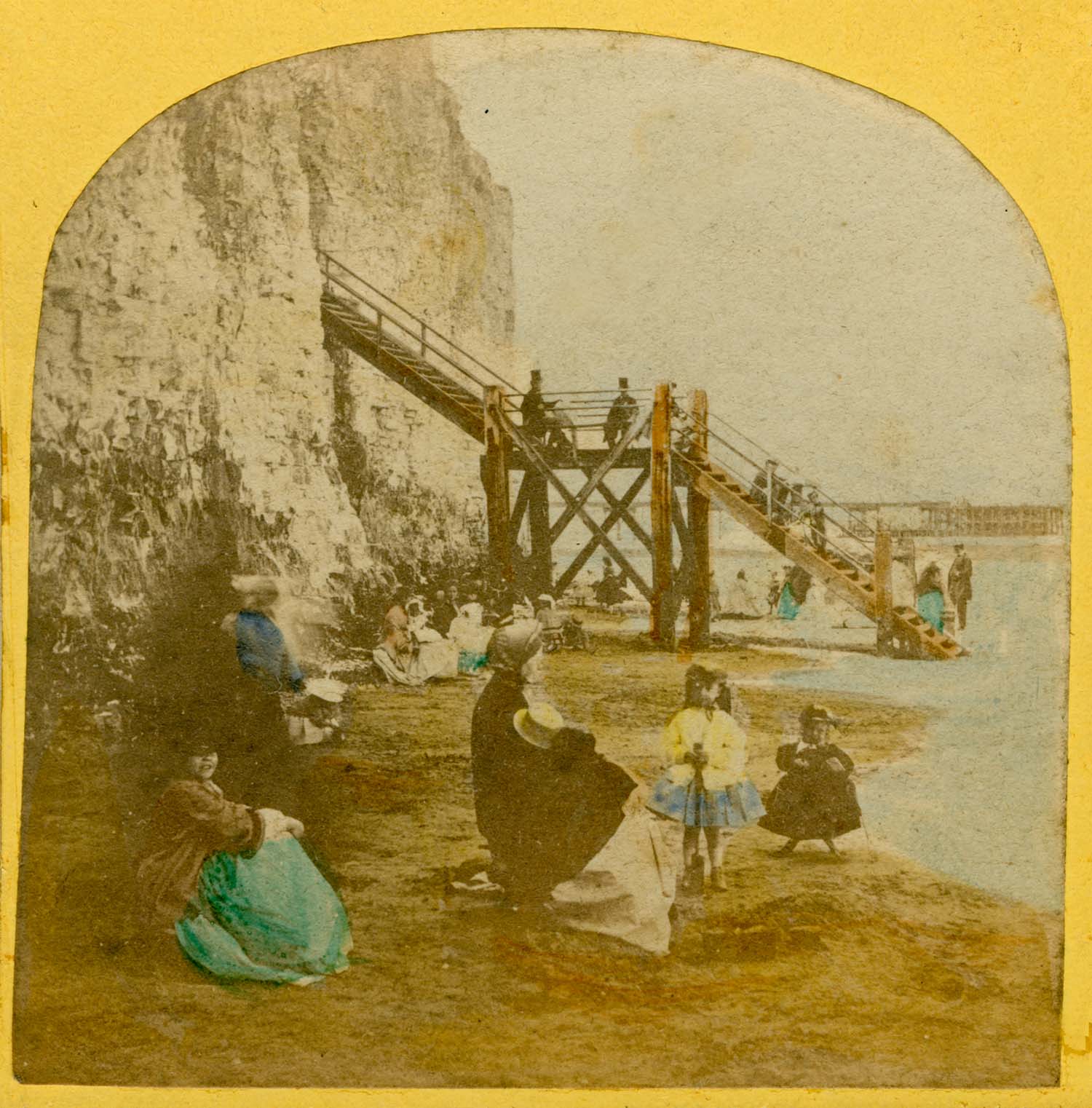
Tivoli Gardens [Stereocard] |
![Tivoli Tea Gardens [Lantern Slide] | Margate History](../Pictures/Photos/Lantern Slides/h7 Tivoli Tea Gardens.jpg)
|
|||
|
Tivoli Gardens [Lantern Slide ca 1898] |
|||
|
April 4 2012 |
|||
Some stereocards added to the 1873 Ordnance Survey Map of Margate |
|||
|
![Union Crescent [Stereo] | Margate History](../Pictures/Photos/Stereos/Union Crescent left.jpg)
|
|
|
|
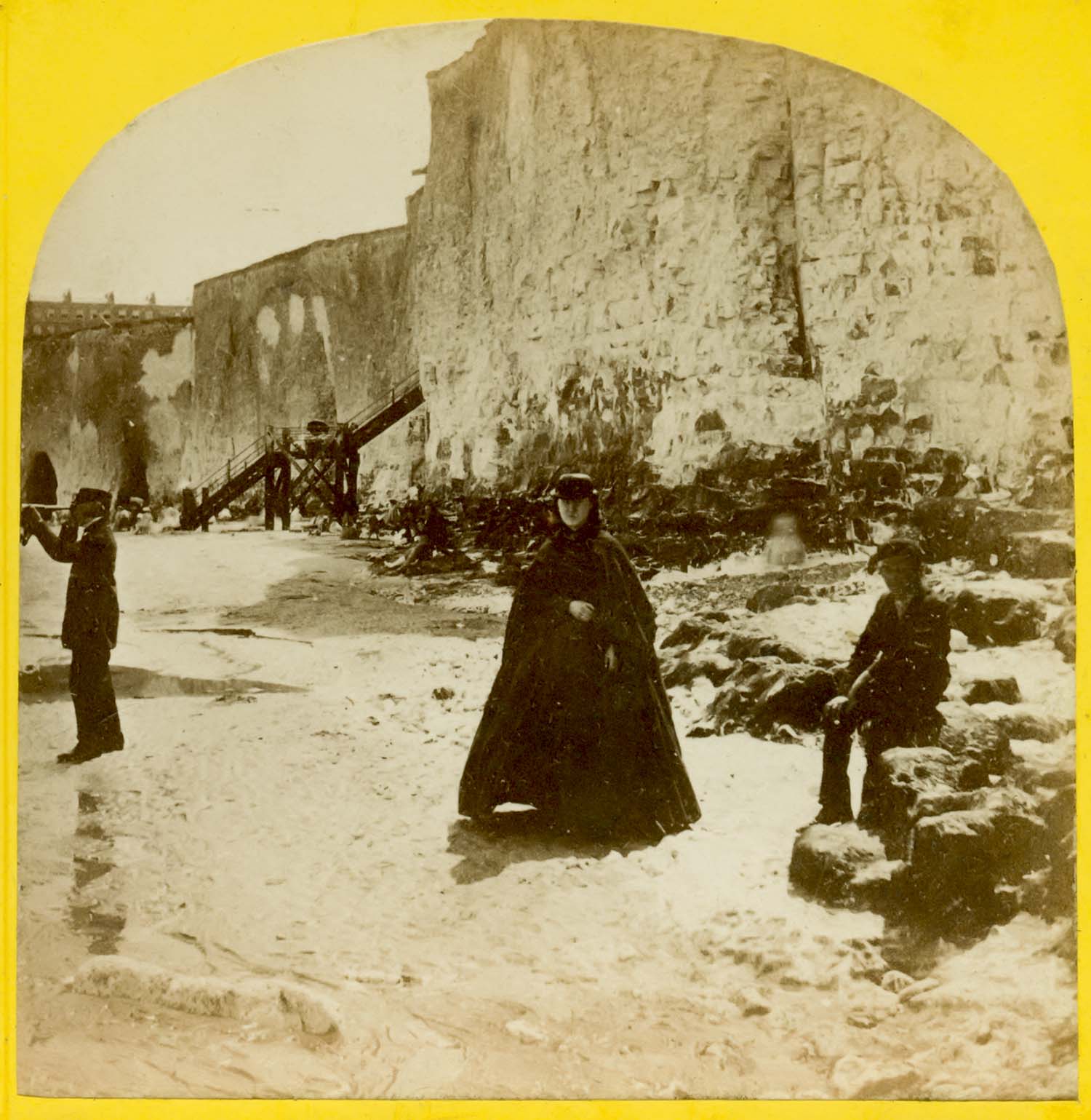
Steps from Fort to sands right [Stereo] |
Union Crescent looking towards Cecil Square and Royal Hotel [Stereo] |
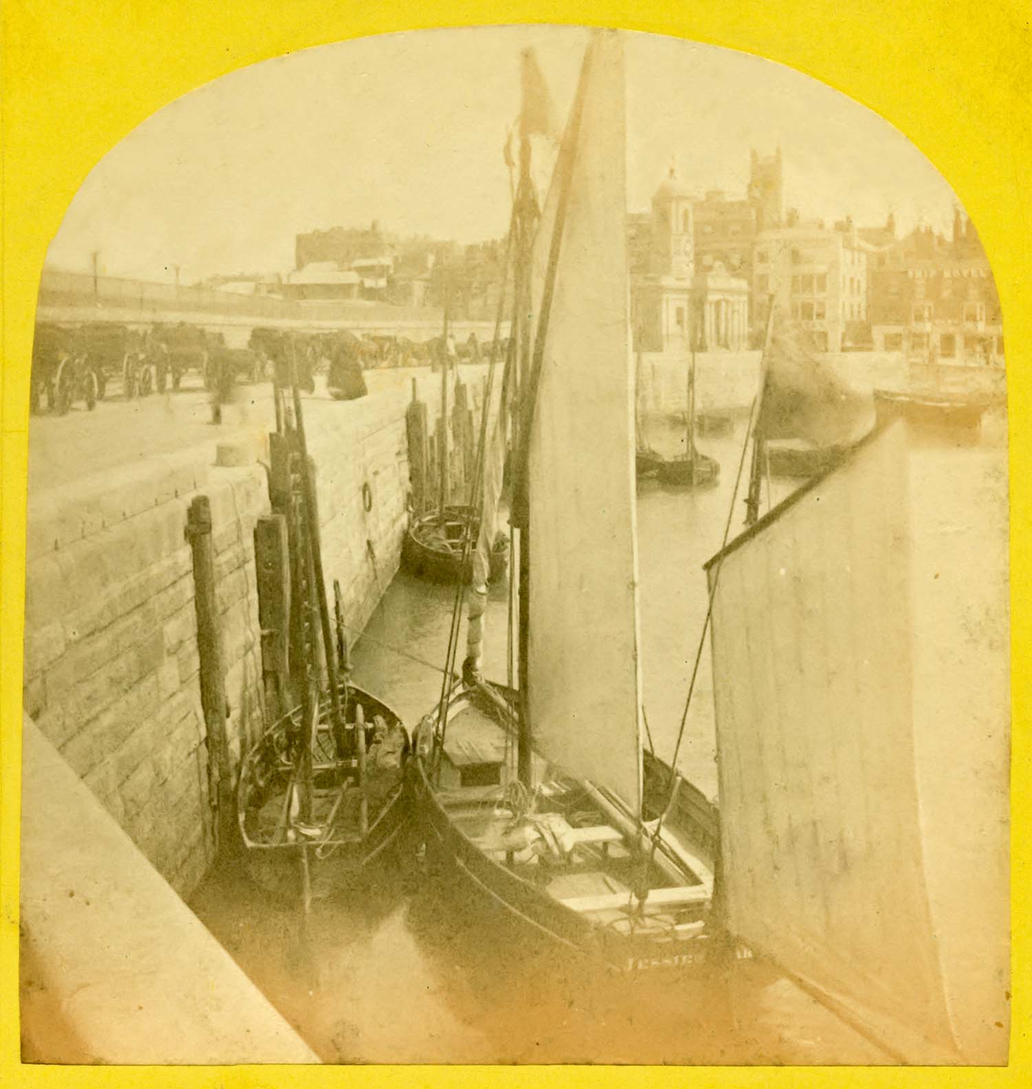
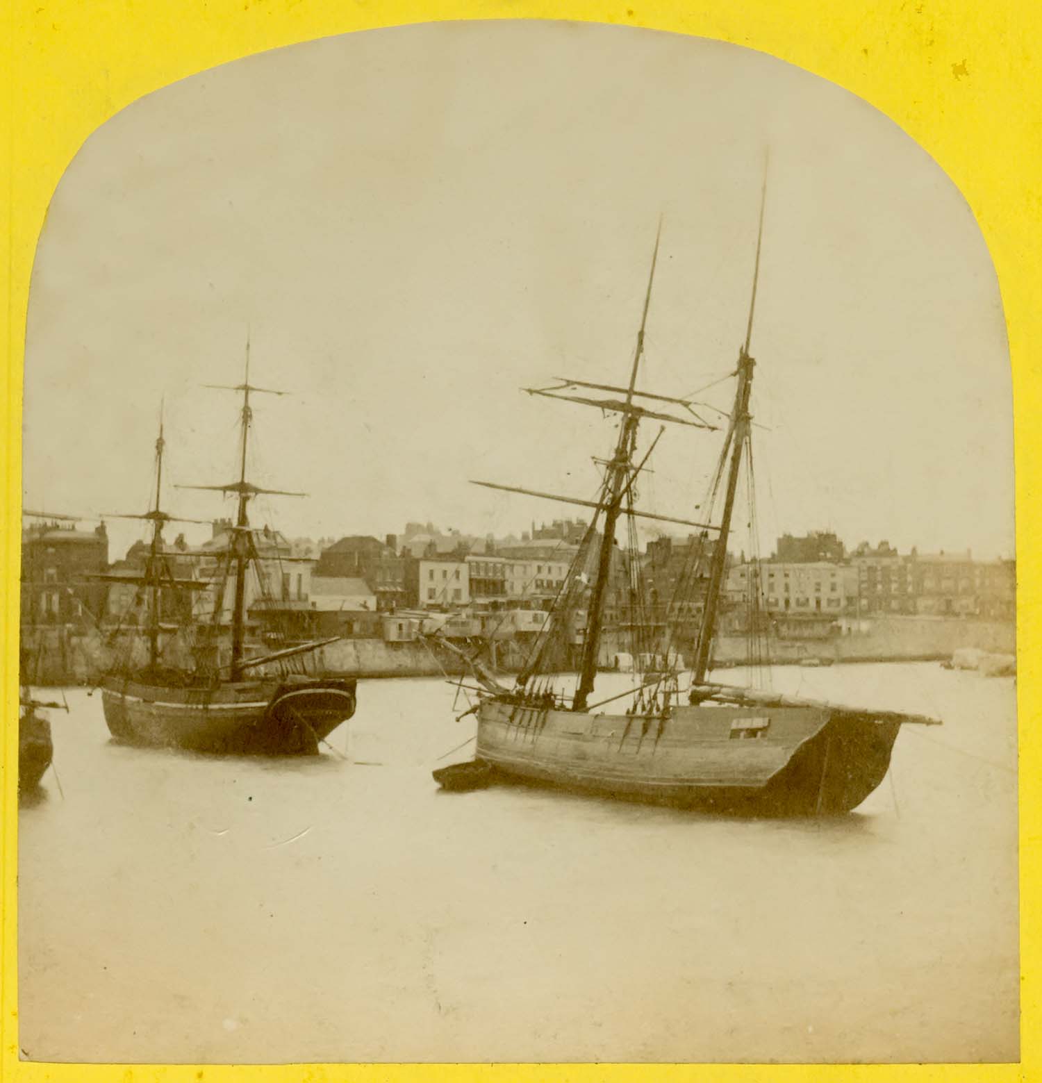
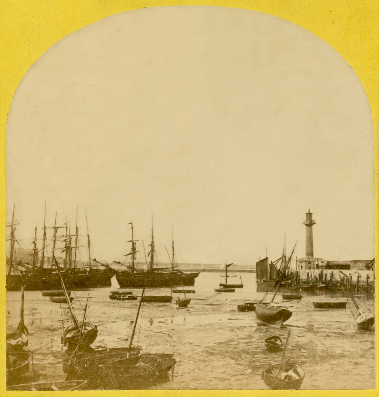
Ships in Margate Harbour [Stereo]) |
Ships in Margate Harbour [Stereo]) |
|
![Jetty looking toward Jetty Head [Stereo] | Margate History](../Pictures/Photos/Stereos/Jetty looking toward head left.jpg)
|
|
|
|
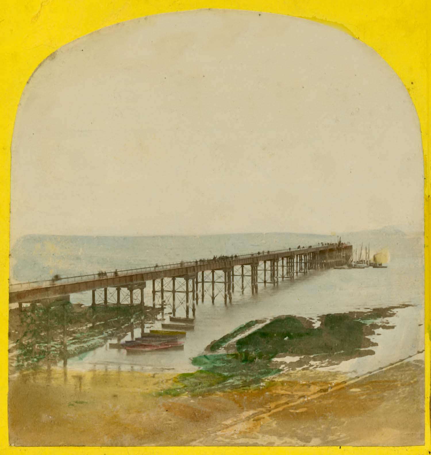
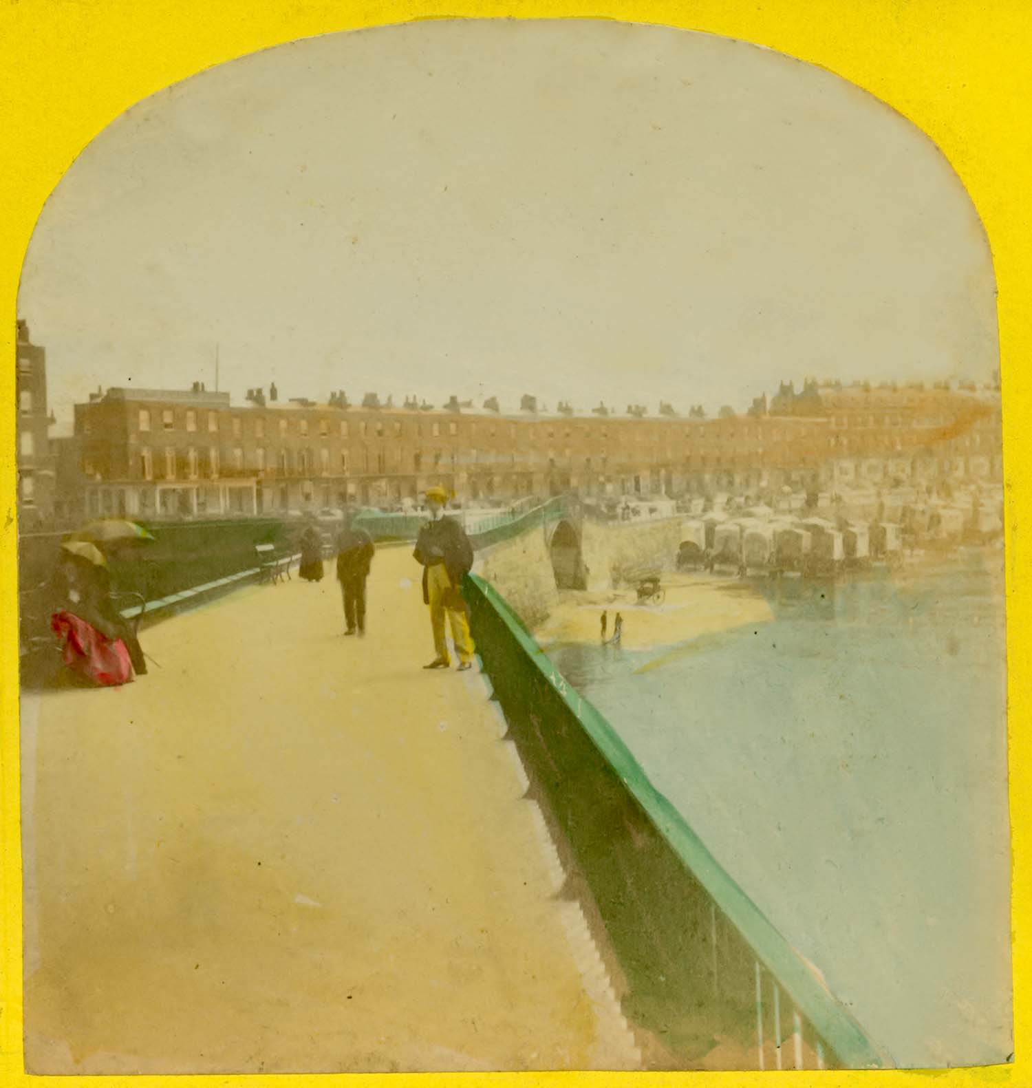
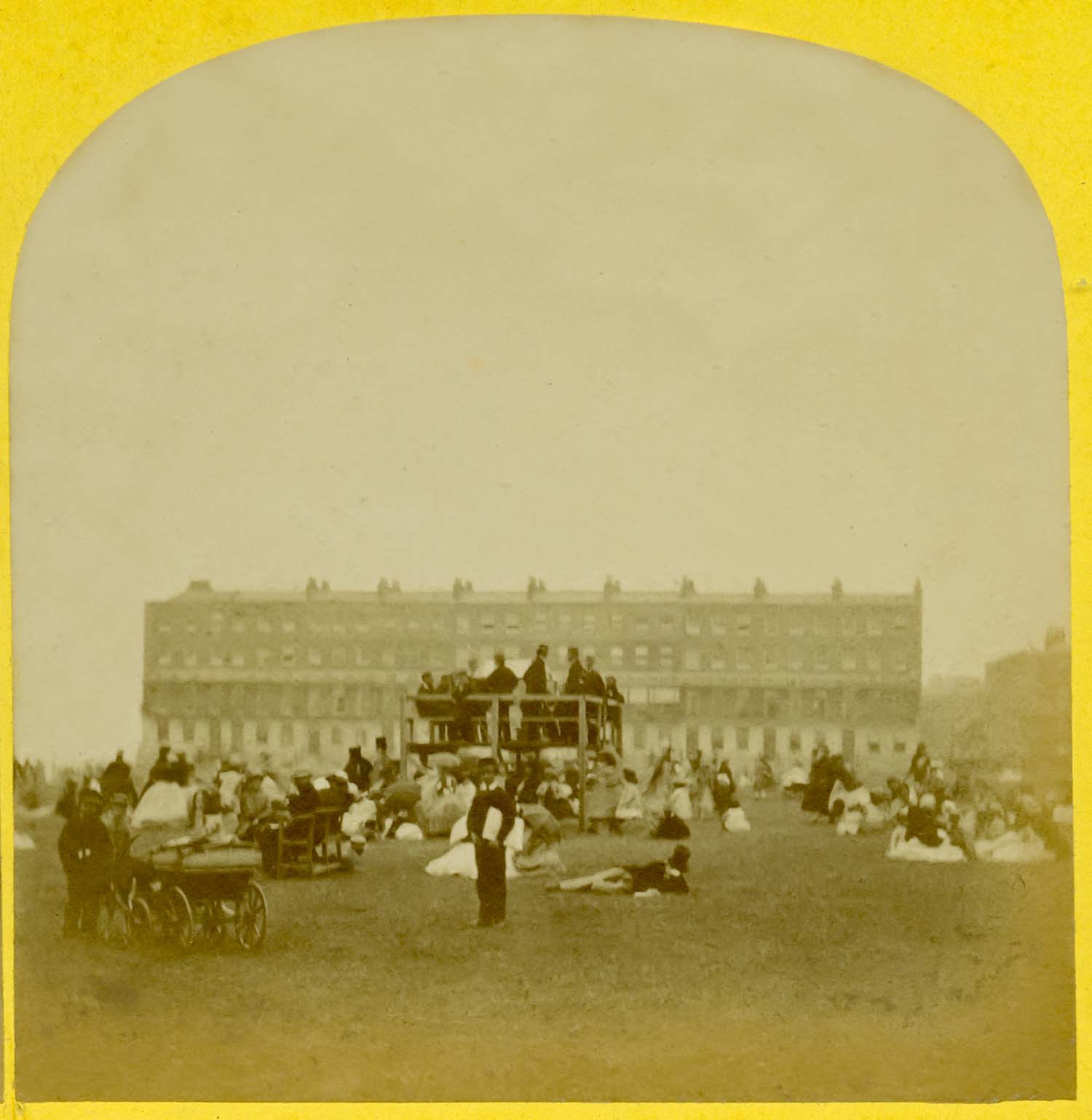
Parade seen from Pier Head[Stereo] |
Jetty looking toward Jetty Head [Stereo] |
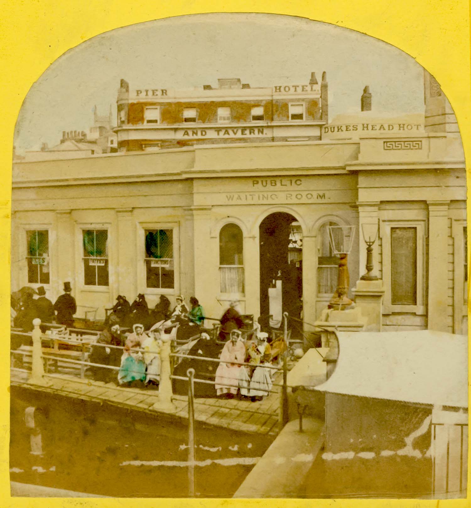
Jetty Waiting Room - side view [Stereo]) |
Jetty from Fort Green [Stereo]) |
|
![Iron Bridge Valentine Blanchard [Stereo] | Margate History](../Pictures/Photos/Stereos/Iron Bridge Valentine Blanchard right.jpg)
|
|
|
|
Iron bridge and Marine Terrace [Stereo] |
Iron Bridge [Valentine Blanchard Stereo] |
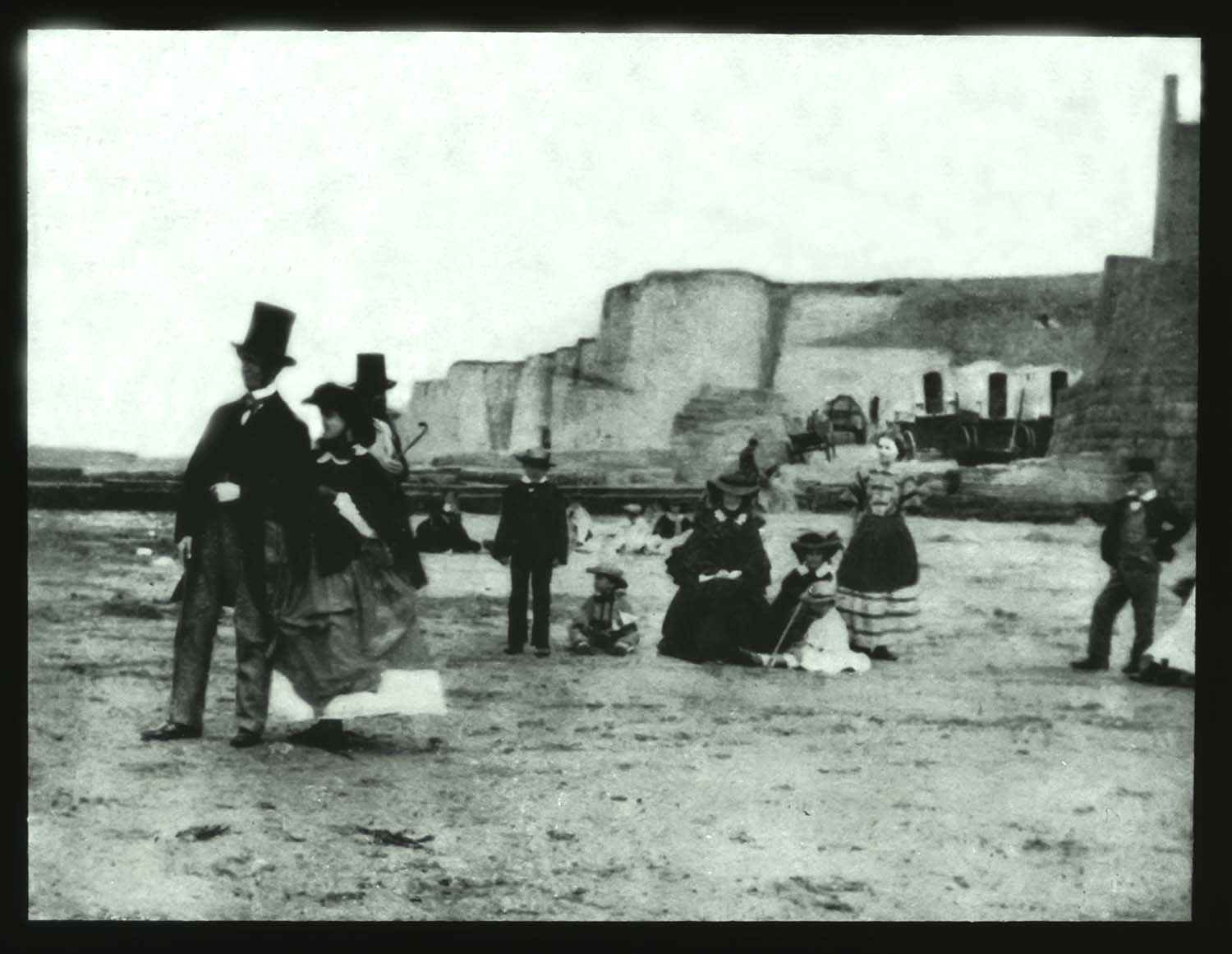
Fort steps with people on beach [Stereo]) |
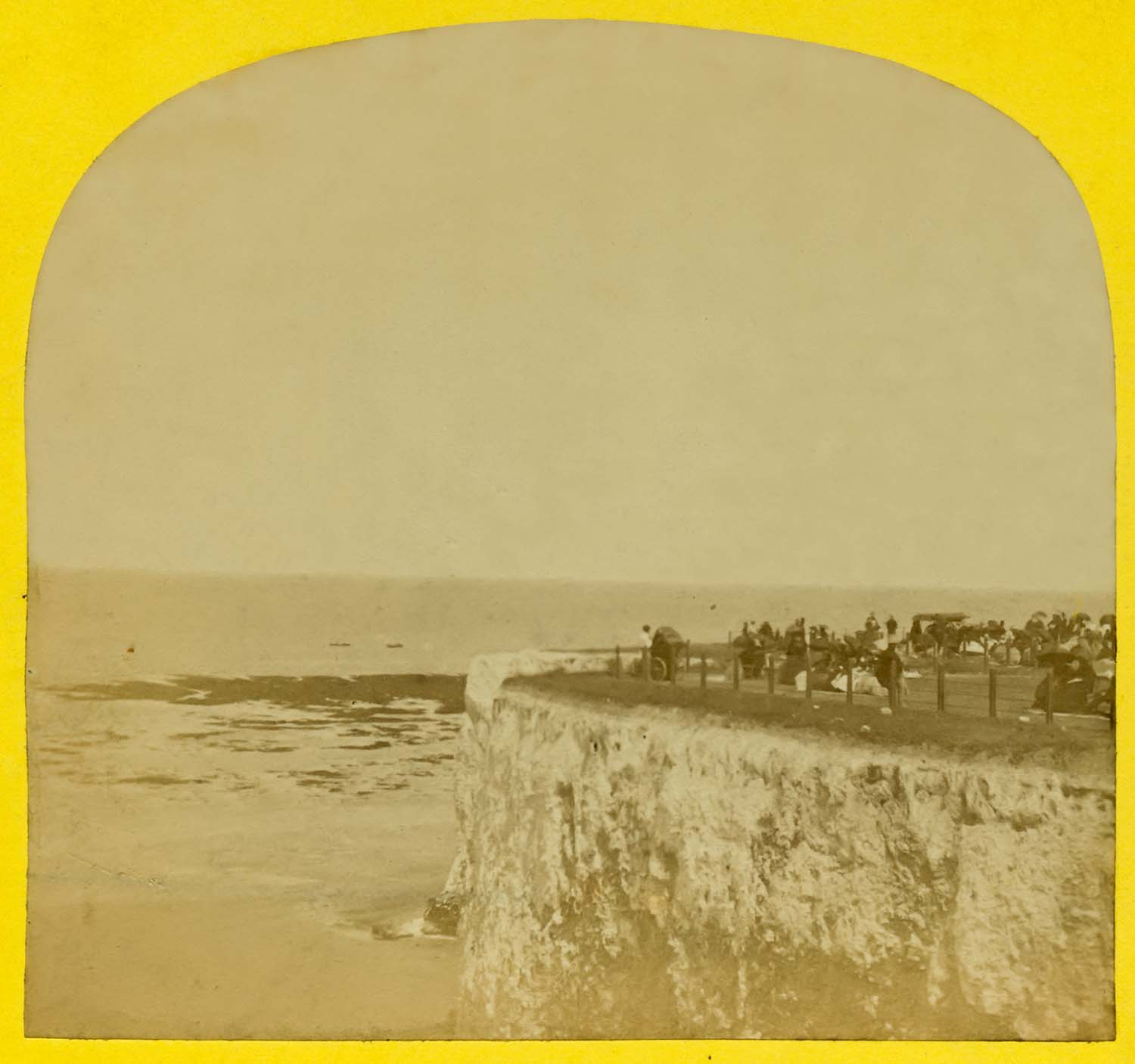
Fort Cliff [Blanchard Stereo]) |
|
![Clifton Baths rebuilding [Stereo] | Margate History](../Pictures/Photos/Stereos/Clifton Baths rebuilding right.jpg)
|
|
|
|
Original Fort Bandstand [Valentine Blanchard Stereo] |
Rebuilding work at Clifton Baths [Stereo] |
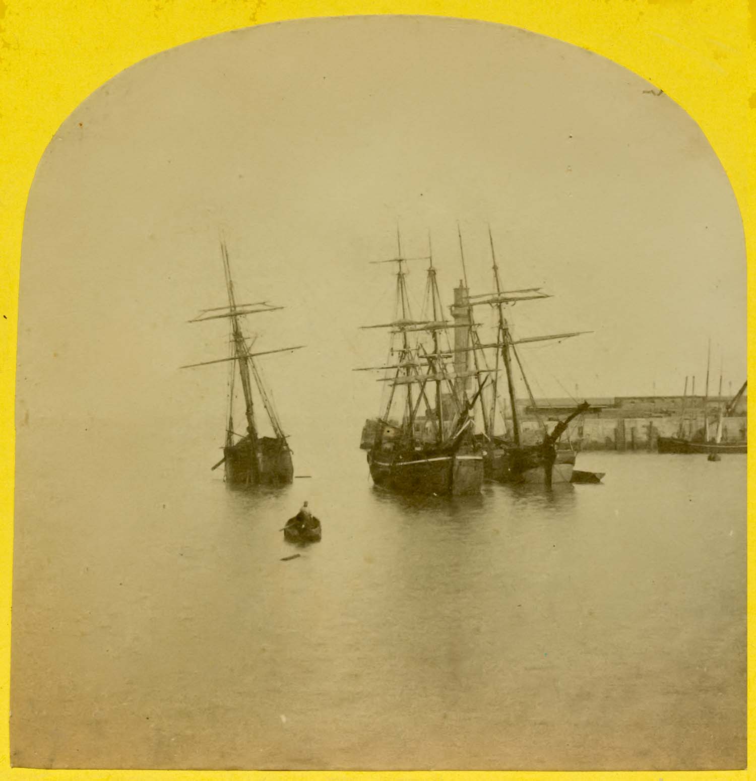
Crowded Harbour ca 1860 [Stereo]) |
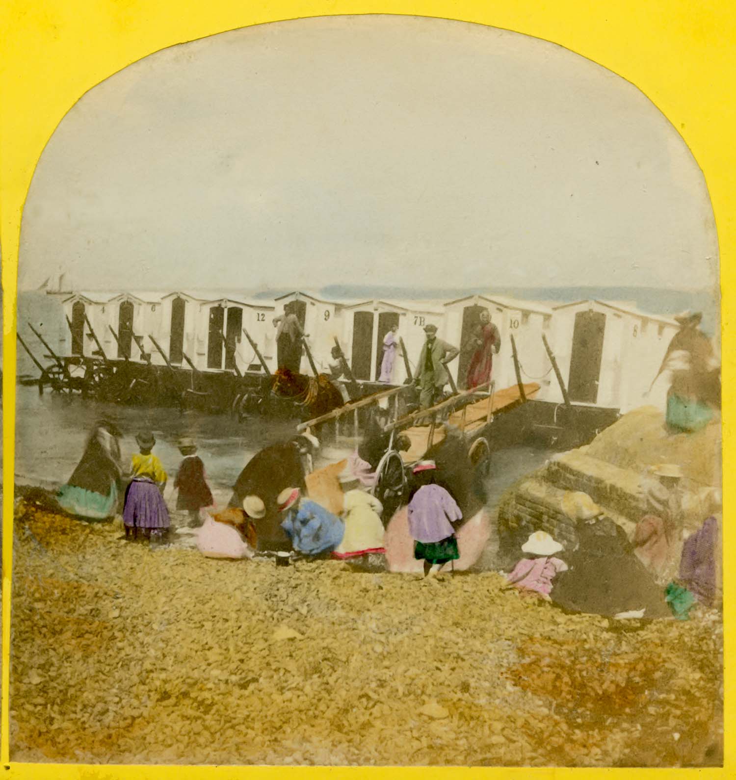
Bathing machines on the sands [Stereo]) |